Ley Hey Park

Settlement in Cheshire

England

Ley Hey Park

Marple Marple junction.  The Macclesfield Canal emerges from the bridge on the left to join the Peak Forest Canal.
Marple Credit: David Stowell

The requested URL returned error: 429 Too Many Requests

If you have any feedback on the listing, please let us know in the comments section below.
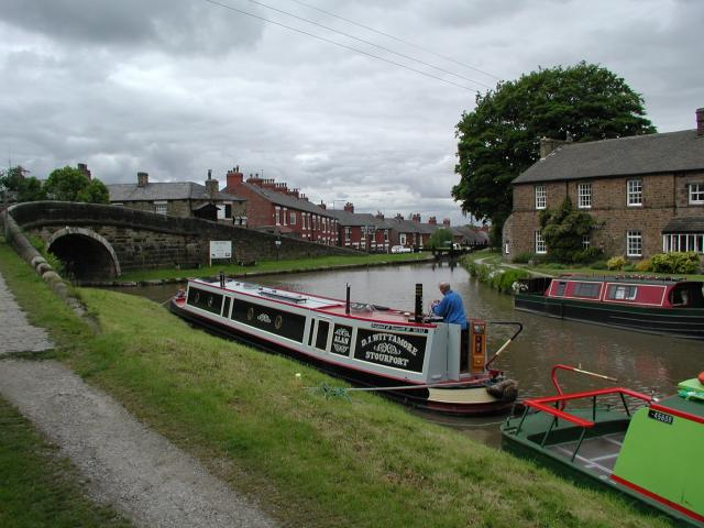
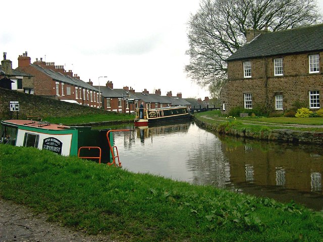
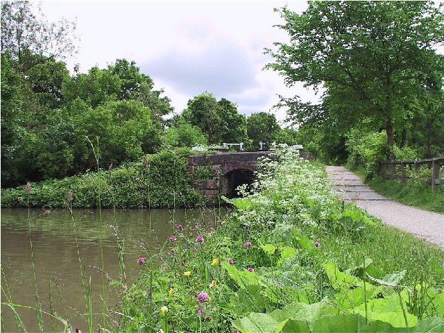
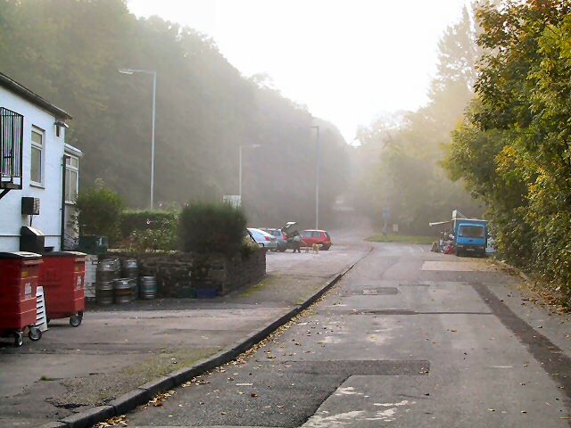
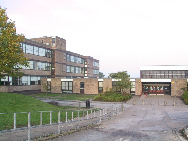
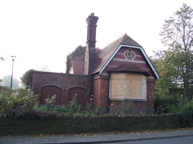
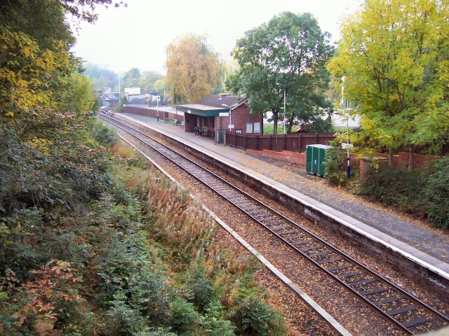
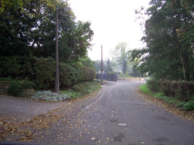
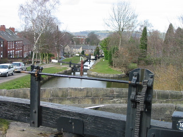
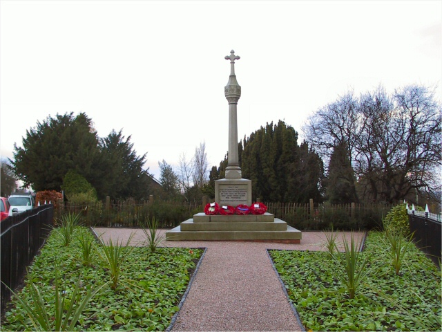
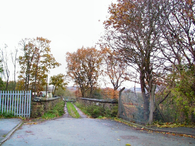
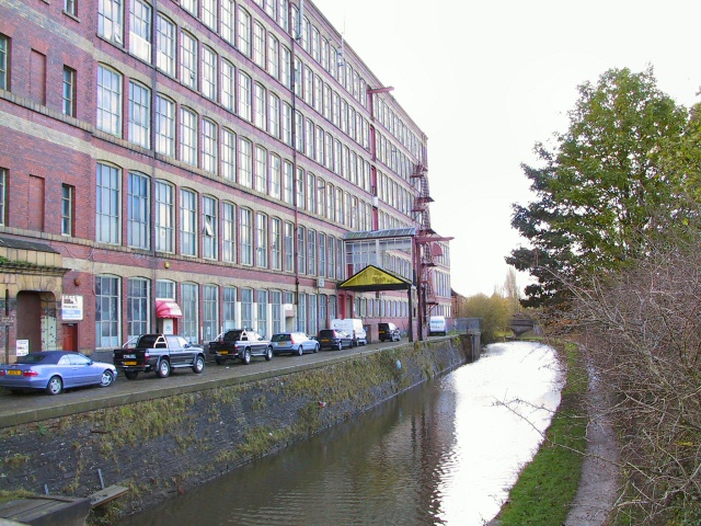
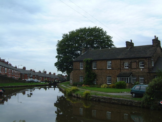
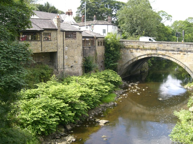
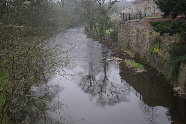
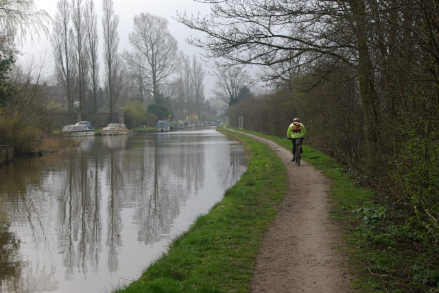
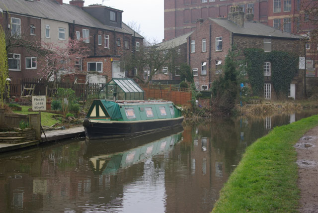
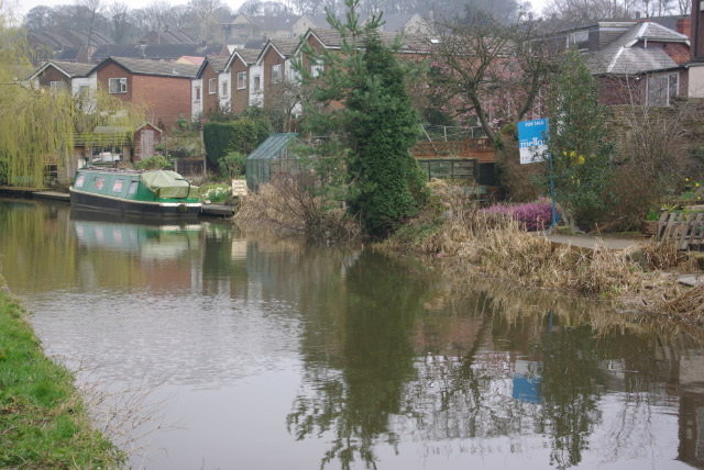
Ley Hey Park Images

Images are sourced within 2km of 53.400943/-2.070657 or Grid Reference SJ9589. Thanks to Geograph Open Source API. All images are credited.

Marple Marple junction.  The Macclesfield Canal emerges from the bridge on the left to join the Peak Forest Canal.
Marple
Marple junction. The Macclesfield Canal emerges from the bridge on the left to join the Peak Forest Canal.
Where canals meet This is the point where the Macclesfield canal joins the Peak Forest canal, it is part of the Cheshire ring.
Where canals meet
This is the point where the Macclesfield canal joins the Peak Forest canal, it is part of the Cheshire ring.
Peaceful Canal Scene Rural Canal bridge at Marple Locks
Peaceful Canal Scene
Rural Canal bridge at Marple Locks
Farmers' Market Early Sunday morning assembly of fruit and veg sellers behind the pub on Dooley Lane, Marple.  The mist has not yet burned off.
Farmers' Market
Early Sunday morning assembly of fruit and veg sellers behind the pub on Dooley Lane, Marple. The mist has not yet burned off.
Marple Hall School The Bradshaw Buildings, Marple Hall School.
Marple Hall School
The Bradshaw Buildings, Marple Hall School.
Room without a View Old Lodge at Marple, in front of the police station and adjacent to a park.
Now boarded up and long disused.
Room without a View
Old Lodge at Marple, in front of the police station and adjacent to a park. Now boarded up and long disused.
Rose Hill station Looking south from the road bridge above the station. The northbound platform (on the right of shot) is just within the square.
Rose Hill station
Looking south from the road bridge above the station. The northbound platform (on the right of shot) is just within the square.
Old Torkington Road Before the new piece of road to the traffic lights was constructed, this section of road joined the A626 near Yew Tree Farm.
Old Torkington Road
Before the new piece of road to the traffic lights was constructed, this section of road joined the A626 near Yew Tree Farm.
Marple locks Marple locks on the Peak Forest Canal
Marple locks
Marple locks on the Peak Forest Canal
Mellor Cenotaph Monument to the fallen of the First World War, at Mellor, Marple.
Mellor Cenotaph
Monument to the fallen of the First World War, at Mellor, Marple.
Winnington Road Bridge At the end of Winnington Road, on the Ley Hey Park estate in Marple, the metalled road ends at this track crossing the railway bridge to the north of Rose Hill Station.
Winnington Road Bridge
At the end of Winnington Road, on the Ley Hey Park estate in Marple, the metalled road ends at this track crossing the railway bridge to the north of Rose Hill Station.
Goyt Mill This mill towers over Hawk Green, on the Macclesfield canal ( part of the Cheshire Ring) at Marple.
Goyt Mill
This mill towers over Hawk Green, on the Macclesfield canal ( part of the Cheshire Ring) at Marple.
Tranquillity The junction of the Macclesfield and Peak Forest Canals provides a fantastic view. All's pretty quiet here on a fairly cold September afternoon.
Tranquillity
The junction of the Macclesfield and Peak Forest Canals provides a fantastic view. All's pretty quiet here on a fairly cold September afternoon.
Marple Bridge
Marple Bridge
River Goyt, Marple Bridge The River Goyt rises on the moors west of Buxton and reaches the Greater Manchester suburbs here at Marple. It continues to Stockport where it meets the Mersey.
River Goyt, Marple Bridge
The River Goyt rises on the moors west of Buxton and reaches the Greater Manchester suburbs here at Marple. It continues to Stockport where it meets the Mersey.
Macclesfield Canal, Marple A cyclist rides along the towpath near the northern end of the 26-mile canal which runs south from here to Kidsgrove.
Macclesfield Canal, Marple
A cyclist rides along the towpath near the northern end of the 26-mile canal which runs south from here to Kidsgrove.
Macclesfield Canal, Hawk Green At Hawk Green the canal takes a right turn before passing the massive Goyt Mill.
Macclesfield Canal, Hawk Green
At Hawk Green the canal takes a right turn before passing the massive Goyt Mill.
Macclesfield Canal, Hawk Green Looking north from Eccles Bridge. At Hawk Green the canal enters the Greater Manchester suburbs.
Macclesfield Canal, Hawk Green
Looking north from Eccles Bridge. At Hawk Green the canal enters the Greater Manchester suburbs.
Show me another place!

Ley Hey Park is located at Grid Ref: SJ9589 (Lat: 53.400943, Lng: -2.070657)

Unitary Authority: Stockport

Police Authority: Greater Manchester

What 3 Words

///extremely.talent.blotchy. Near Marple, Manchester

Nearby Locations

Brabyns Wood Ley Hey Park

Related Wikis

Marple Aqueduct

Marple Aqueduct (also known as Goyt Aqueduct) at Marple, Greater Manchester, in north-west England was built to carry the lower level of the Peak Forest...

Marple Lock Flight

Marple Lock Flight is a flight of sixteen canal locks, situated on the Peak Forest Canal in Marple, a suburb of Stockport. == History == Whilst the rest...

Rose Hill Marple railway station

Rose Hill Marple railway station is in Marple in the Metropolitan Borough of Stockport, England. The station, which opened in 1869, is the last surviving...

Marple, Greater Manchester

Marple is a town in the Metropolitan Borough of Stockport, Greater Manchester, England. It is on the River Goyt, 9 miles (14 km) south-east of Manchester...

Nearby Amenities

Located within 500m of 53.400943,-2.070657
Post Box
Operator: Royal Mail
Lat/Long: 53.4030356/-2.0657333
Turning Circle
Lat/Long: 53.4008755/-2.0698776
Post Box
Operator: Royal Mail
Lat/Long: 53.4000345/-2.0642881
Barrier: cycle_barrier
Lat/Long: 53.3986171/-2.0721494
Barrier: cycle_barrier
Lat/Long: 53.3990972/-2.0772348
Barrier: cycle_barrier
Lat/Long: 53.3990755/-2.0765964
Barrier: motorcycle_barrie
Lat/Long: 53.3993316/-2.0682902
Generator Method: photovoltaic
Generator Output Electricity: yes
Generator Source: solar
Generator Type: solar_photovoltaic_panel
Location: roof
Power: generator
Lat/Long: 53.4026122/-2.0640946
Generator Method: photovoltaic
Generator Output Electricity: yes
Generator Source: solar
Generator Type: solar_photovoltaic_panel
Location: roof
Power: generator
Lat/Long: 53.3993787/-2.0709992
Generator Method: photovoltaic
Generator Output Electricity: yes
Generator Source: solar
Generator Type: solar_photovoltaic_panel
Location: roof
Power: generator
Lat/Long: 53.4001376/-2.0685529
Generator Method: photovoltaic
Generator Output Electricity: yes
Generator Source: solar
Generator Type: solar_photovoltaic_panel
Location: roof
Power: generator
Lat/Long: 53.400893/-2.0702838
Generator Method: photovoltaic
Generator Output Electricity: yes
Generator Source: solar
Generator Type: solar_photovoltaic_panel
Location: roof
Power: generator
Lat/Long: 53.3995301/-2.0705386
Generator Method: photovoltaic
Generator Output Electricity: yes
Generator Source: solar
Generator Type: solar_photovoltaic_panel
Location: roof
Power: generator
Lat/Long: 53.3996907/-2.068174
Generator Method: photovoltaic
Generator Output Electricity: yes
Generator Source: solar
Generator Type: solar_photovoltaic_panel
Location: roof
Power: generator
Lat/Long: 53.3974616/-2.0683923
Generator Method: photovoltaic
Generator Output Electricity: yes
Generator Source: solar
Generator Type: solar_photovoltaic_panel
Location: roof
Power: generator
Lat/Long: 53.3989021/-2.0639801
Generator Method: photovoltaic
Generator Output Electricity: yes
Generator Source: solar
Generator Type: solar_photovoltaic_panel
Location: roof
Power: generator
Lat/Long: 53.4003309/-2.0665895
Generator Method: photovoltaic
Generator Output Electricity: yes
Generator Source: solar
Generator Type: solar_photovoltaic_panel
Location: roof
Power: generator
Lat/Long: 53.3974729/-2.0658939
Generator Method: photovoltaic
Generator Output Electricity: yes
Generator Source: solar
Generator Type: solar_photovoltaic_panel
Location: roof
Power: generator
Lat/Long: 53.4021353/-2.0655046
Generator Method: photovoltaic
Generator Output Electricity: yes
Generator Source: solar
Generator Type: solar_photovoltaic_panel
Location: roof
Power: generator
Lat/Long: 53.398904/-2.0640841
Barrier: cycle_barrier
Lat/Long: 53.3990837/-2.0745018
Power: substation
Lat/Long: 53.3990191/-2.0746239
Barrier: motorcycle_barrie
Lat/Long: 53.399522/-2.067463
Barrier: motorcycle_barrie
Lat/Long: 53.4001463/-2.0644855
Post Box
Lat/Long: 53.3987003/-2.0733909
Access: customers
Leisure: pitch
Sport: cricket
Surface: grass
Lat/Long: 53.3982691/-2.0700536
The data included in this document is from www.openstreetmap.org. The data is made available under ODbL.

Have you been to Ley Hey Park?

Leave your review of Ley Hey Park below (or comments, questions and feedback).