Paul's Dell

Valley in Hampshire Test Valley

England

Paul's Dell
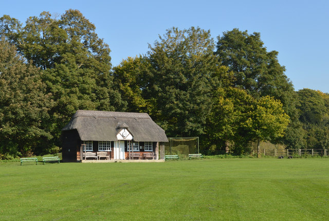
Cricket pavilion, Hurstbourne Priors, Hampshire
Cricket pavilion, Hurstbourne Priors, Hampshire Credit: Oswald Bertram

Paul's Dell is a picturesque valley located in the county of Hampshire, England. Nestled amidst rolling hills and lush greenery, this idyllic dell is a popular destination for nature lovers and outdoor enthusiasts.

The valley is characterized by its tranquil atmosphere and breathtaking natural beauty. It is home to a diverse range of flora and fauna, with a variety of indigenous plant species thriving in the area. The dell's landscape is dominated by ancient woodland, which adds to its charm and provides a habitat for numerous wildlife species.

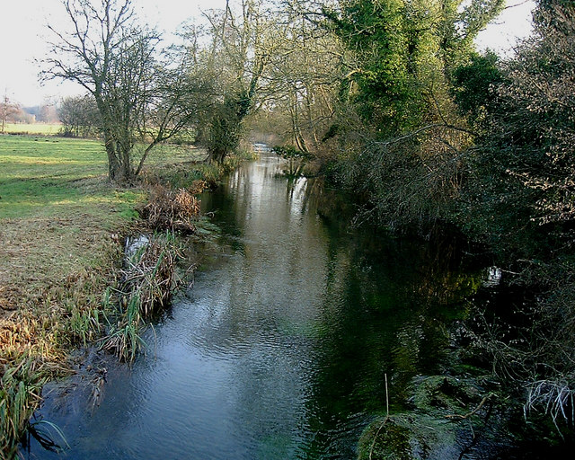
A small river meanders through the dell, creating a peaceful ambiance and offering visitors the opportunity to enjoy leisurely walks along its banks. The sound of babbling brooks and birdsong fills the air, creating a soothing soundtrack to one's experience.

Paul's Dell is a haven for hikers and cyclists, boasting a network of well-maintained trails that wind through its verdant surroundings. These trails offer stunning views of the valley and its surrounding countryside, making it an ideal location for those seeking outdoor adventure.

In addition to its natural beauty, Paul's Dell also has historical significance. The area has been inhabited for centuries, and remnants of ancient settlements and structures can still be found within its boundaries. Archaeological finds suggest that the valley was once home to a thriving community.

Overall, Paul's Dell is a hidden gem in Hampshire, offering visitors a chance to escape the hustle and bustle of modern life and immerse themselves in the beauty of nature. Whether it's a leisurely stroll, a challenging hike, or simply a moment of tranquility, this valley has something to offer everyone.

If you have any feedback on the listing, please let us know in the comments section below.

Paul's Dell Images

Images are sourced within 2km of 51.204111/-1.3806383 or Grid Reference SU4345. Thanks to Geograph Open Source API. All images are credited.

Cricket pavilion, Hurstbourne Priors, Hampshire
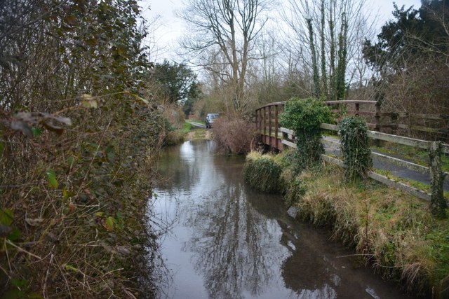
Longparish Ford Signed as a 'Deep Ford' this ford in Longparish has a steep step on its southern entrance.
Longparish Ford
Signed as a 'Deep Ford' this ford in Longparish has a steep step on its southern entrance.
Deep ford No depth marker, but an inspection showed it was not very deep, with a coarse gravel bottom.  That bit would be no real problem, but at the far side there was a severe step up from the gravel to the tarmac, which ordinary cars would baulk at, fouling their skirts.
Deep ford
No depth marker, but an inspection showed it was not very deep, with a coarse gravel bottom. That bit would be no real problem, but at the far side there was a severe step up from the gravel to the tarmac, which ordinary cars would baulk at, fouling their skirts.
Track to Larkwhistle Farm A strange name - larks don't whistle.
Track to Larkwhistle Farm
A strange name - larks don't whistle.
Gated track to Paper Mill The mill being on the River Test.
Gated track to Paper Mill
The mill being on the River Test.
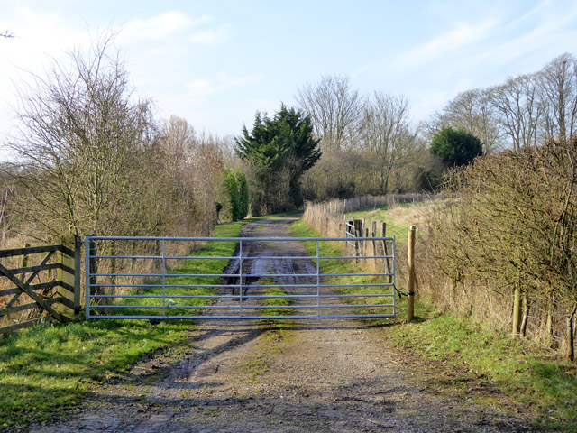
Gated farm track In the distance it passes through a high arched bridge on the former GWR Didcot, Newbury and Southampton railway line.
Gated farm track
In the distance it passes through a high arched bridge on the former GWR Didcot, Newbury and Southampton railway line.
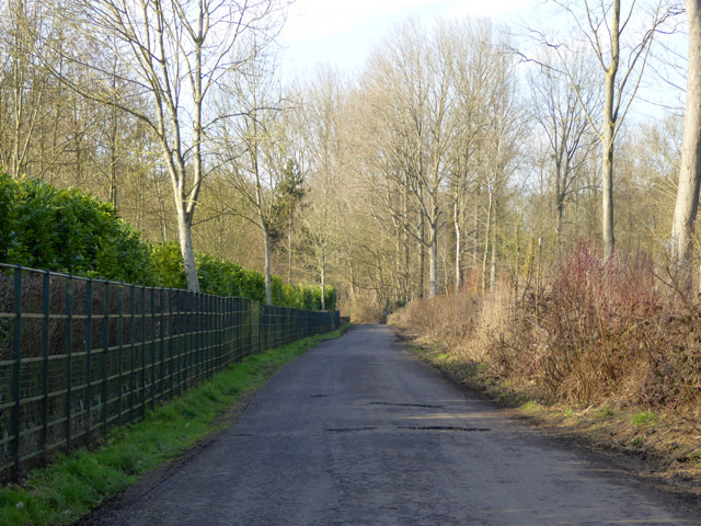
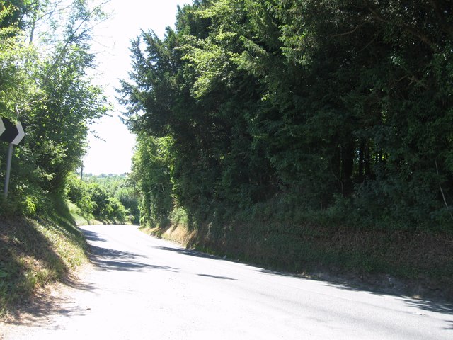
Lane towards Hurstbourne Priors Crossing a low-lying area of the Test Valley.
Lane towards Hurstbourne Priors
Crossing a low-lying area of the Test Valley.
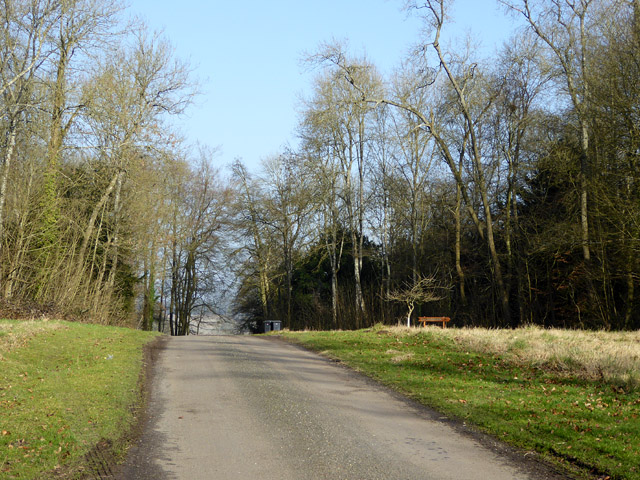
Lane through Ridges Plantation This area has an 'estate air', with wide grassy verges.
Lane through Ridges Plantation
This area has an 'estate air', with wide grassy verges.
Gate into a field off the Middleway, Middleton
Snowdrops in the rain, off the Middleway
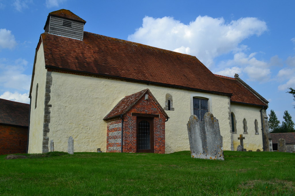
The Church of St Nicholas at Longparish Viewed from the south.
The Church of St Nicholas at Longparish
Viewed from the south.
Ordnance Survey Cut Mark This is one of two marks that can be found on the wall of St Nicholas' Church in Middleton.
For more detail see : <span class="nowrap"><a title="http://www.bench-marks.org.uk/bm29758" rel="nofollow ugc noopener" href="http://www.bench-marks.org.uk/bm29758">Link</a><img style="margin-left:2px;" alt="External link" title="External link - shift click to open in new window" src="https://s1.geograph.org.uk/img/external.png" width="10" height="10"/></span>
Ordnance Survey Cut Mark
This is one of two marks that can be found on the wall of St Nicholas' Church in Middleton. For more detail see : LinkExternal link
Ordnance Survey Cut Mark This is one of the two marks that can be found on the wall of St Nicholas' Church in Middleton.
For more detail see : <a title="https://www.geograph.org.uk/photo/5354561" href="https://www.geograph.org.uk/photo/5354561">Link</a>
Ordnance Survey Cut Mark
This is one of the two marks that can be found on the wall of St Nicholas' Church in Middleton. For more detail see : Link
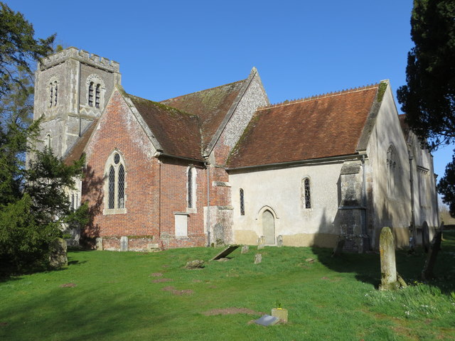
St Andrew's Church at Hurstbourne Priors Viewed from the south-east.
St Andrew's Church at Hurstbourne Priors
Viewed from the south-east.
Road junction
Road junction
Country road
Country road
Country road
Country road
Entrance to Hurstbourne Priors
Show me another place!

Paul's Dell is located at Grid Ref: SU4345 (Lat: 51.204111, Lng: -1.3806383)

Administrative County: Hampshire

District: Test Valley

Police Authority: Hampshire

What 3 Words

///proved.elders.gobblers. Near Andover, Hampshire

Related Wikis

Longparish

Longparish is a village and civil parish in Hampshire, England. It is composed of the five hamlets of Middleton, East Aston, West Aston ,Forton and Longparish...

East Aston Common

East Aston Common is an 18.2-hectare (45-acre) biological Site of Special Scientific Interest east of Andover in Hampshire.This site in the flood plain...

Hurstbourne Priors

Hurstbourne Priors is a small village and civil parish in the Basingstoke and Deane district of Hampshire, England. Its nearest town is Whitchurch, which...

Bourne Rivulet

The Bourne Rivulet is a river in the English county of Hampshire. It is a tributary of the River Test. The Bourne Rivulet (known as 'The Bourne' locally...

Bransbury

Bransbury is a hamlet in Hampshire, England, part of the parish of Barton Stacey. The nearest village is Barton Stacey (where the 2011 census was included...

Hurstbourne Park

Hurstbourne Park is a country house and 1200-acre estate near Whitchurch, Hampshire, England. The park and garden are Grade II listed with Historic England...

Firgo

Firgo is a hamlet close to the town of Whitchurch, Hampshire, England. Firgo is unusual in that it is only accessible directly from a dual-carriageway...

Tufton, Hampshire

Tufton is a small village and former civil parish, now in the parish of Hurstbourne Priors, in the Basingstoke and Deane district, in the county of Hampshire...

Nearby Amenities

Located within 500m of 51.204111,-1.3806383
Bus Stop
East Aston Cottages
Naptan AtcoCode: 1900HA100493
Naptan Bearing: SW
Naptan CommonName: East Aston Cottages
Naptan NaptanCode: hamawpjm
Naptan Street: B3048
Naptan Verified: no
Source: naptan_import
Lat/Long: 51.2022785/-1.3741827
Bus Stop
The Cricketers
Naptan AtcoCode: 1900HA100494
Naptan Bearing: SW
Naptan CommonName: The Cricketers
Naptan Crossing: North Acre
Naptan NaptanCode: hamawjwa
Naptan Street: B3048 at Longparish
Naptan Verified: no
Source: naptan_import
Lat/Long: 51.1999375/-1.380369
Bus Stop
The Cricketers
Naptan AtcoCode: 1900HA100495
Naptan Bearing: NE
Naptan CommonName: The Cricketers
Naptan Crossing: North Acre
Naptan NaptanCode: hamawjtw
Naptan Street: B3048 at Longparish
Naptan Verified: no
Source: naptan_import
Lat/Long: 51.2000007/-1.3804254
Acre Stores
Addr City: Andover
Addr Place: Longparish
Addr Postcode: SP11 6PG
Addr Street: North Acre
Brand: Londis
Brand Wikidata: Q21008564
Shop: convenience
Website: https://www.londis.co.uk/our-stores/acre-stores
Lat/Long: 51.1997871/-1.3809035
Post Box
Operator: Royal Mail
Post Box Mounting: brick_pillar
Post Box Type: wall
Ref: SP11 132
Royal Cypher: GVIR
Royal Cypher Wikidata: Q33102169
Lat/Long: 51.1997797/-1.3808389
Post Office
Longparish Post Office
Addr Postcode: SP11 6QX
Brand: Post Office
Brand Wikidata: Q1783168
Opening Hours: Mo-Sa 09:00-13:00
Ref Pol Id: 12575
Website: https://www.postoffice.co.uk/branch-finder/3155420/longparish
Lat/Long: 51.1997774/-1.3809696
Paul's Dell
Place: locality
Lat/Long: 51.2050169/-1.3810946
Public Bookcase
Defibrillator
Access: yes
Booth: KX100
Covered: booth
Defibrillator Location: inside old phone box (now used as book exchange) North Acre, Longparish
Disused Amenity: telephone
Emergency: defibrillator
Man Made: telephone_box
Public Bookcase Type: phone_box
Lat/Long: 51.1998264/-1.3815151
The data included in this document is from www.openstreetmap.org. The data is made available under ODbL.

Have you been to Paul's Dell?

Leave your review of Paul's Dell below (or comments, questions and feedback).