Grange Chine

Valley in Hampshire

England

Grange Chine

Brighstone revisited (1) Pub lunchers on a summer's day
Brighstone revisited (1) Credit: Basher Eyre

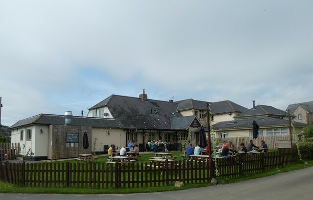
Grange Chine is a picturesque valley located in the county of Hampshire, England. Situated on the western coast of the Isle of Wight, it offers breathtaking views of the English Channel and is renowned for its natural beauty. The valley is known for its steep cliffs and rugged terrain, making it a popular destination for hikers, nature enthusiasts, and photographers.

At the heart of Grange Chine lies a pristine sandy beach, which stretches for approximately half a mile. With its crystal-clear waters and soft golden sands, the beach attracts visitors from all over the country, especially during the summer months. The beach is surrounded by towering cliffs, providing a stunning backdrop and creating a sense of seclusion and tranquility.

Aside from its natural beauty, Grange Chine also offers a range of recreational activities. Visitors can enjoy swimming, snorkeling, and sunbathing on the beach, or explore the rocky shoreline and discover a variety of marine life during low tide. The valley is also a popular spot for birdwatching, with several species of coastal birds nesting in the cliffs.

For those seeking adventure, Grange Chine offers access to several coastal paths and walking trails that traverse the surrounding countryside. These paths provide stunning panoramic views of the valley and the surrounding coastline, making it an ideal location for outdoor enthusiasts.

In summary, Grange Chine is a hidden gem on the Isle of Wight, offering a unique blend of natural beauty, recreational activities, and breathtaking views. Whether you're looking for a peaceful beach getaway or an adventurous hike, this valley has something to offer for everyone.

If you have any feedback on the listing, please let us know in the comments section below.

Grange Chine Images

Images are sourced within 2km of 50.636524/-1.4046413 or Grid Reference SZ4282. Thanks to Geograph Open Source API. All images are credited.

Brighstone revisited (1) Pub lunchers on a summer's day
Brighstone revisited (1)
Pub lunchers on a summer's day
Brighstone revisited (2) The Village Shop
Brighstone revisited (2)
The Village Shop
Brighstone revisited (3) Outside Brighstone Shop- although to be totally accurate for THIS summer a brolly and mac would need inclusion!
Brighstone revisited (3)
Outside Brighstone Shop- although to be totally accurate for THIS summer a brolly and mac would need inclusion!
Brighstone revisited (4) Brighstone Churchyard
Brighstone revisited (4)
Brighstone Churchyard
Brighstone revisited (5) Cyclists on the main road
Brighstone revisited (5)
Cyclists on the main road
Brighstone revisited (6) Pedestrian access to the primary school
Brighstone revisited (6)
Pedestrian access to the primary school
Brighstone revisited (7) Public toilets in the car park
Brighstone revisited (7)
Public toilets in the car park
Brighstone revisited (8) Walking the dog in Warnes Lane
Brighstone revisited (8)
Walking the dog in Warnes Lane
Brighstone revisited (10) A busy scene in Main Road
Brighstone revisited (10)
A busy scene in Main Road
Brighstone revisited (11) A busy scene at the village hall- a traffic consultation
Brighstone revisited (11)
A busy scene at the village hall- a traffic consultation
Brighstone revisited (12)
Spring in Brighstone Churchyard (a)
Spring in Brighstone Churchyard (b)
Spring in Brighstone Churchyard (c)
Looking north-east along New Road
New Road in the late February sunshine
New Road Cemetery: late February 2022
Looking from Main Road into North Street
Show me another place!

Grange Chine is located at Grid Ref: SZ4282 (Lat: 50.636524, Lng: -1.4046413)

Unitary Authority: Isle of Wight

Police Authority: Hampshire

What 3 Words

///loved.earpiece.dawn. Near Brighstone, Isle of Wight

Related Wikis

Buddle Brook

Buddle Brook a small river on the Isle of Wight, England. The Brook drains water from the southern side of Brighstone Down and as far to the east as the...

Brighstone Bay

Brighstone Bay is a bay on the south west coast of the Isle of Wight, England. It lies to the south and west of the village of Brighstone from which it...
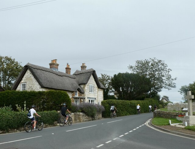
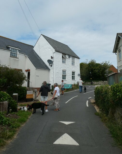
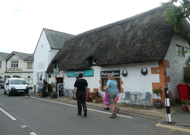
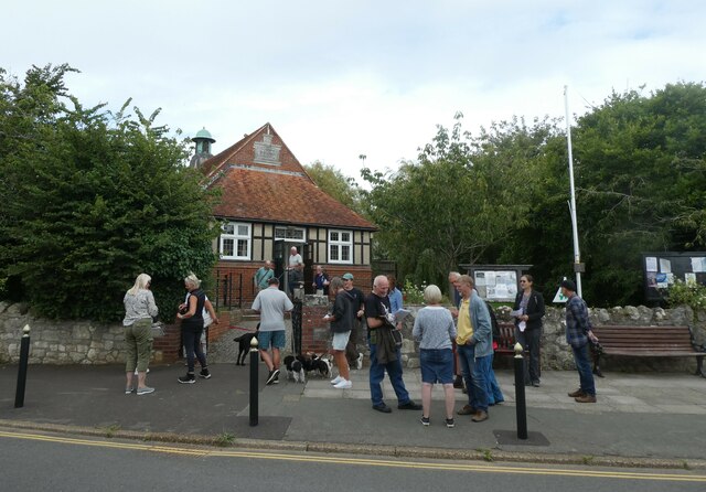
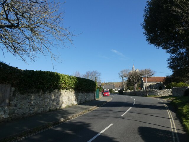
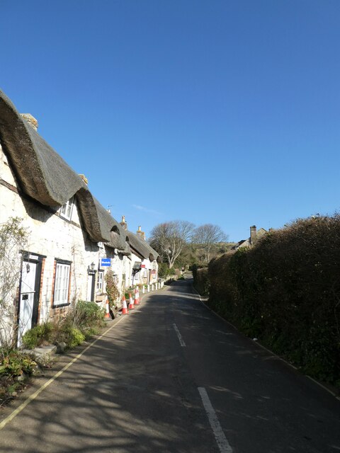
Brighstone

Brighstone is a village and civil parish on the Isle of Wight, 6 miles southwest of Newport on the B3399 road. Brighstone was previously known as "Brixton...

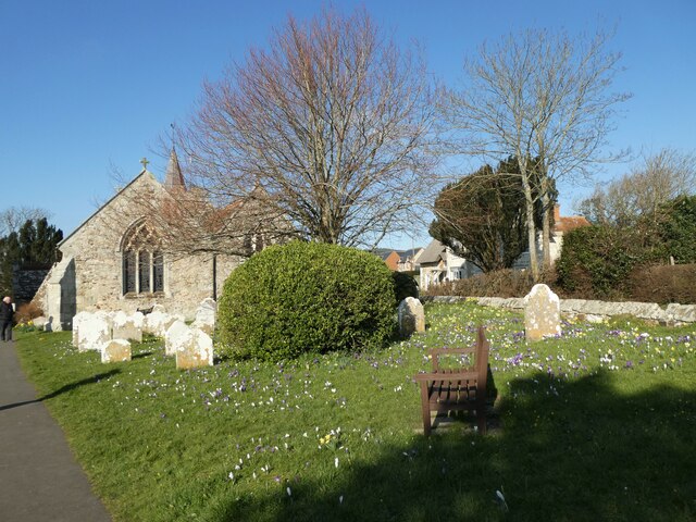
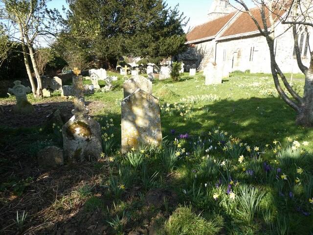
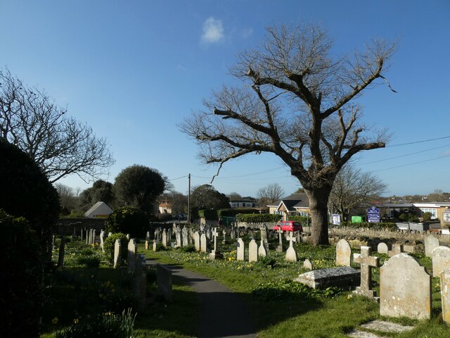
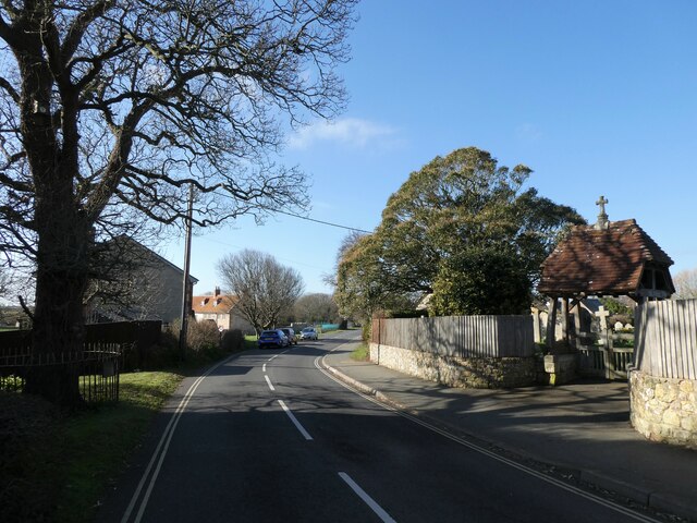
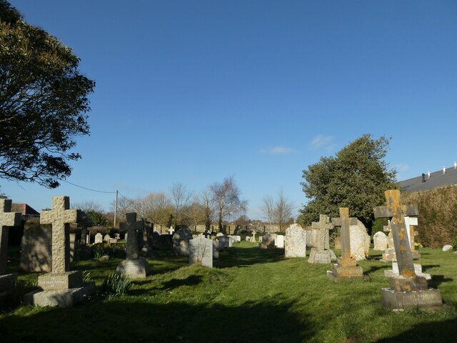
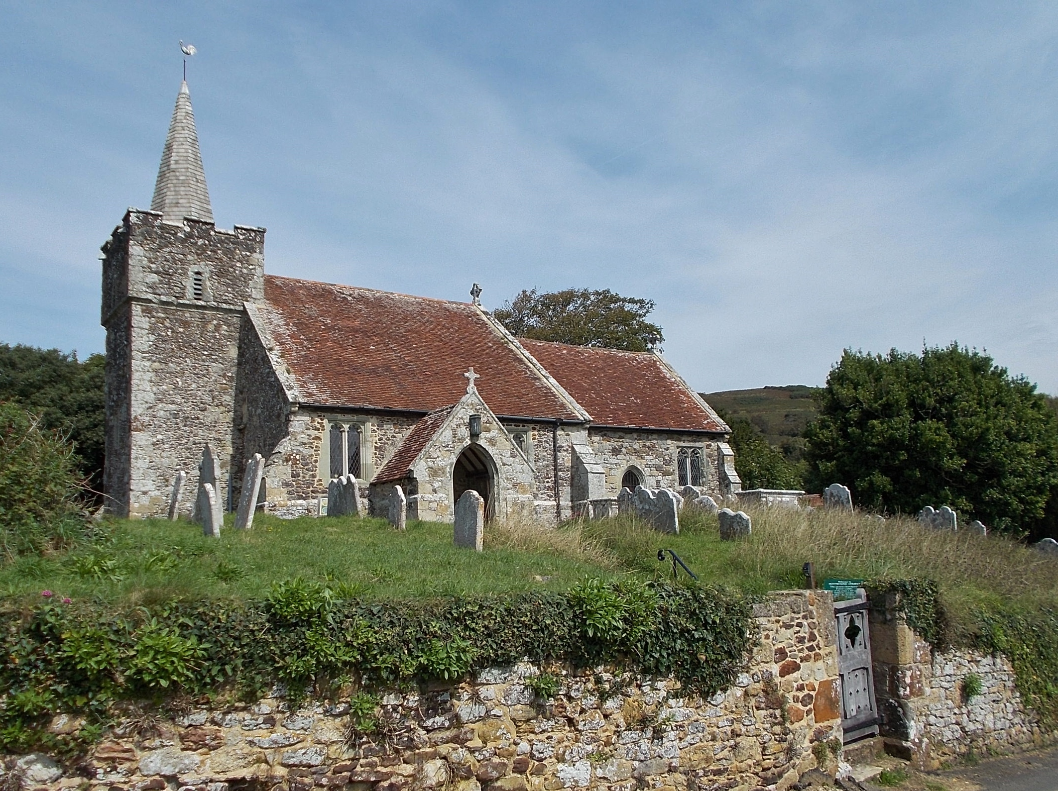
St Mary's Church, Brighstone

St. Mary's Church is a parish church in the Church of England located in Brighstone, Isle of Wight. The churchyard contains a memorial stone to George...

Moortown, Isle of Wight

Moortown is a part of Brighstone on the west side of the Isle of Wight. The area is known as the Back of the Wight. Previously, the only form of public...

Thorncross

Thorncross is a small hamlet in the South West of the Isle of Wight, England. (The Back of the Wight). It is located near the hamlets of Yafford, Limerstone...

Limerstone

Limerstone is a hamlet on the Isle of Wight in England. It is located on the B3399 road between Brighstone (where the 2011Census population was listed...

St Peter and St Paul's Church, Mottistone

St Peter and St Paul's Church is a parish church in the Church of England in the village of Mottistone, Isle of Wight. It is a Grade I listed building...
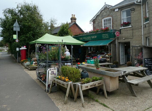
Nearby Amenities

Located within 500m of 50.636524,-1.4046413
Crossing
Crossing: unmarked
Lat/Long: 50.6406294/-1.4017506
Barrier: stile
Fixme: check position
Lat/Long: 50.6382004/-1.4069313
Source: Bing
Lat/Long: 50.6334568/-1.4065847
Source: Bing
Lat/Long: 50.6348846/-1.4106807
Bus Stop
Grange Chine
Bus: yes
Contact Website: https://www.islandbuses.info/stops/230000011530
Naptan AtcoCode: 230000011530
Naptan Bearing: W
Naptan CommonName: Grange Chine
Naptan Indicator: towards Freshwater Bay
Naptan NaptanCode: iowjmag
Naptan Street: Military Road
Network: Southern Vectis
Network Wikidata: Q4049829
Network Wikipedia: en:Southern Vectis
Operator: Southern Vectis
Public Transport: platform
Shelter: no
Lat/Long: 50.6366263/-1.4061122
Barrier: stile
Lat/Long: 50.6366435/-1.4073704
Bus Stop
Marsh Green
Bench: no
Bin: no
Bus: yes
Contact Website: https://www.islandbuses.info/stops/230000011340
Lit: no
Naptan AtcoCode: 230000011340
Naptan Bearing: SE
Naptan CommonName: Marsh Green
Naptan Indicator: towards Blackgang
Naptan NaptanCode: iowjgpj
Naptan Street: military road
Public Transport: platform
Shelter: no
Source: naptan_import
Tactile Paving: no
Lat/Long: 50.6342357/-1.3986365
Bus Stop
Marsh Green
Bench: no
Bin: no
Bus: yes
Contact Website: https://www.islandbuses.info/stops/230000011350
Lit: no
Naptan AtcoCode: 230000011350
Naptan Bearing: NW
Naptan CommonName: Marsh Green
Naptan Indicator: towards Freshwater Bay
Naptan NaptanCode: iowjgpm
Naptan Street: Military Road
Public Transport: platform
Shelter: no
Source: naptan_import
Tactile Paving: no
Lat/Long: 50.6341975/-1.3988453
Bus Stop
Grange Chine
Bus: yes
Contact Website: https://www.islandbuses.info/stops/230000011520
Naptan AtcoCode: 230000011520
Naptan Bearing: E
Naptan CommonName: Grange Chine
Naptan Indicator: towards Blackgang
Naptan NaptanCode: iowjmad
Naptan Street: Military Road
Network: Southern Vectis
Network Wikidata: Q4049829
Network Wikipedia: en:Southern Vectis
Operator: Southern Vectis
Public Transport: platform
Shelter: no
Lat/Long: 50.6366632/-1.4074522
Bus Stop
Brighstone Holiday Camp
Alt Name: Brighstone Holiday Centre
Bus: yes
Contact Website: https://www.islandbuses.info/stops/230000011560
Naptan AtcoCode: 230000011560
Naptan Bearing: E
Naptan CommonName: Brighstone Holiday Camp
Naptan Indicator: towards Blackgang
Naptan NaptanCode: iowjmap
Naptan Street: Military road
Public Transport: platform
Shelter: no
Source: naptan_import
Lat/Long: 50.6369338/-1.4113501
Brighstone Lifeboat
Historic: memorial
Lat/Long: 50.6339846/-1.4069026
Give Way
Direction: backward
Lat/Long: 50.6395644/-1.4009463
Bicycle Parking
Bicycle Parking: stands
Covered: no
Lat/Long: 50.636469/-1.407293
Barrier: stile
Lat/Long: 50.6399523/-1.406403
Barrier: cattle_grid
Lat/Long: 50.6361811/-1.4025096
Grange Chine
Place: locality
Lat/Long: 50.6353349/-1.4053072
Bench
Lat/Long: 50.6346668/-1.4069206
Hiking: yes
Information: guidepost
Tourism: information
Lat/Long: 50.6346477/-1.4069004
Bench
Lat/Long: 50.6343525/-1.4070117
Bench
Lat/Long: 50.6339544/-1.4067744
Bench
Lat/Long: 50.6344878/-1.4078379
Marsh Green
Is In: Isle of Wight, UK
Place: locality
Lat/Long: 50.6365675/-1.4016366
Give Way
Direction: backward
Lat/Long: 50.6395214/-1.4008282
Generator Source: solar
Location: roof
Power: generator
Lat/Long: 50.6361864/-1.406997
The data included in this document is from www.openstreetmap.org. The data is made available under ODbL.

Have you been to Grange Chine?

Leave your review of Grange Chine below (or comments, questions and feedback).