Marsh Green

Settlement in Hampshire

England

Marsh Green

Brighstone revisited (1) Pub lunchers on a summer's day
Brighstone revisited (1) Credit: Basher Eyre

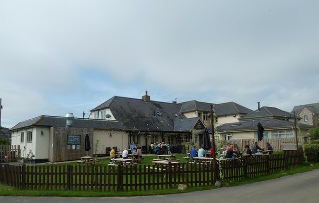
Marsh Green is a small village located in the county of Hampshire, England. Situated in the East Hampshire district, it is nestled in the heart of the South Downs National Park. The village is surrounded by picturesque rolling hills and lush greenery, making it a haven for nature enthusiasts and hikers.

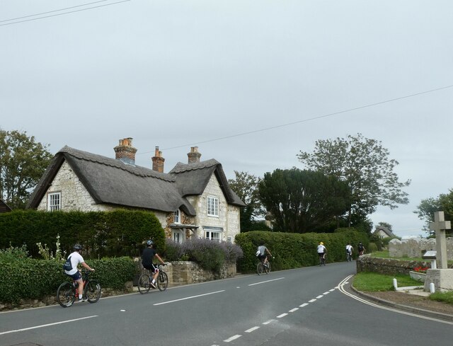
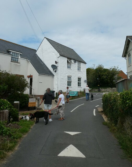
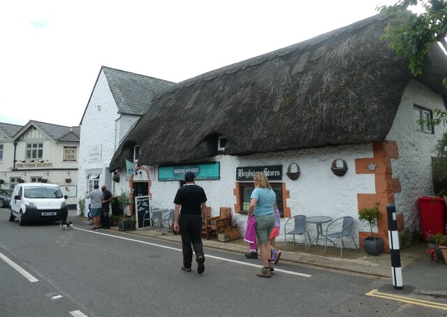
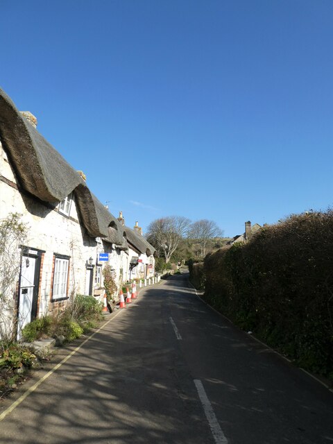
With a population of approximately 500 residents, Marsh Green exudes a tranquil and close-knit community atmosphere. The village is characterized by its charming thatched cottages and historic buildings, which add to its idyllic rural charm.

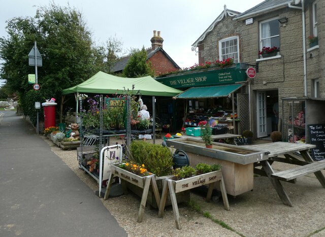
The village is well-connected to nearby towns and cities, with the market town of Petersfield just a short drive away. This provides residents with easy access to a range of amenities such as supermarkets, shops, and restaurants.

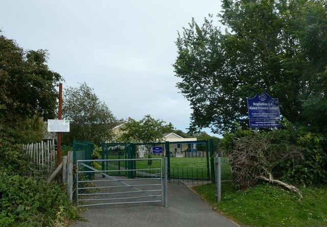
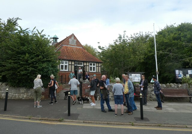
Marsh Green is also home to a primary school, providing education for the local children. The village boasts a strong sense of community, with numerous social and recreational activities taking place throughout the year, including festivals, fairs, and sports events.

For those seeking outdoor pursuits, Marsh Green offers a multitude of options. The surrounding countryside offers ample opportunities for walking, cycling, and horse riding, with numerous trails and bridleways to explore. There are also several golf courses and fishing spots in the vicinity, catering to a range of interests.

In conclusion, Marsh Green is a delightful village in Hampshire, offering a peaceful and picturesque setting, a strong community spirit, and easy access to both rural and urban amenities.

If you have any feedback on the listing, please let us know in the comments section below.

Marsh Green Images

Images are sourced within 2km of 50.636823/-1.3963368 or Grid Reference SZ4282. Thanks to Geograph Open Source API. All images are credited.

Brighstone revisited (1) Pub lunchers on a summer's day
Brighstone revisited (1)
Pub lunchers on a summer's day
Brighstone revisited (2) The Village Shop
Brighstone revisited (2)
The Village Shop
Brighstone revisited (3) Outside Brighstone Shop- although to be totally accurate for THIS summer a brolly and mac would need inclusion!
Brighstone revisited (3)
Outside Brighstone Shop- although to be totally accurate for THIS summer a brolly and mac would need inclusion!
Brighstone revisited (4) Brighstone Churchyard
Brighstone revisited (4)
Brighstone Churchyard
Brighstone revisited (5) Cyclists on the main road
Brighstone revisited (5)
Cyclists on the main road
Brighstone revisited (6) Pedestrian access to the primary school
Brighstone revisited (6)
Pedestrian access to the primary school
Brighstone revisited (7) Public toilets in the car park
Brighstone revisited (7)
Public toilets in the car park
Brighstone revisited (8) Walking the dog in Warnes Lane
Brighstone revisited (8)
Walking the dog in Warnes Lane
Brighstone revisited (10) A busy scene in Main Road
Brighstone revisited (10)
A busy scene in Main Road
Brighstone revisited (11) A busy scene at the village hall- a traffic consultation
Brighstone revisited (11)
A busy scene at the village hall- a traffic consultation
Brighstone revisited (12)
Spring in Brighstone Churchyard (a)
Spring in Brighstone Churchyard (b)
Spring in Brighstone Churchyard (c)
Looking north-east along New Road
New Road in the late February sunshine
New Road Cemetery: late February 2022
Looking from Main Road into North Street
Show me another place!

Marsh Green is located at Grid Ref: SZ4282 (Lat: 50.636823, Lng: -1.3963368)

Unitary Authority: Isle of Wight

Police Authority: Hampshire

What 3 Words

///custard.stockpile.mere. Near Brighstone, Isle of Wight

Related Wikis

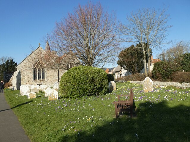
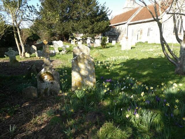
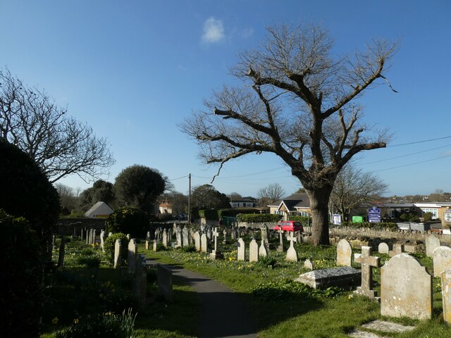
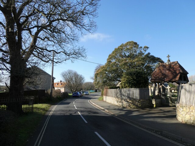
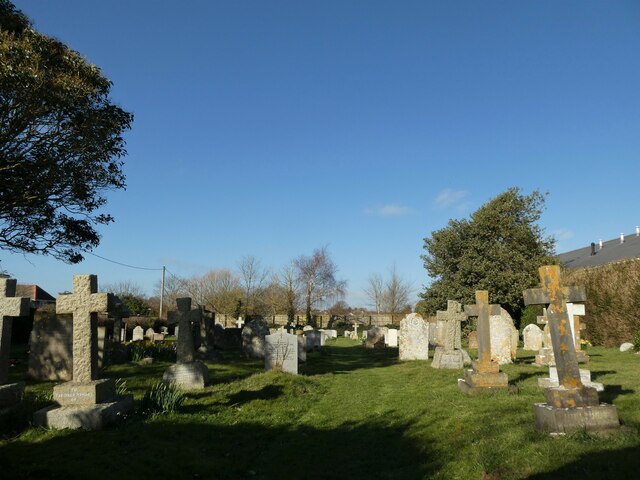
St Mary's Church, Brighstone

St. Mary's Church is a parish church in the Church of England located in Brighstone, Isle of Wight. The churchyard contains a memorial stone to George...

Brighstone Bay

Brighstone Bay is a bay on the south west coast of the Isle of Wight, England. It lies to the south and west of the village of Brighstone from which it...

Buddle Brook

Buddle Brook a small river on the Isle of Wight, England. The Brook drains water from the southern side of Brighstone Down and as far to the east as the...
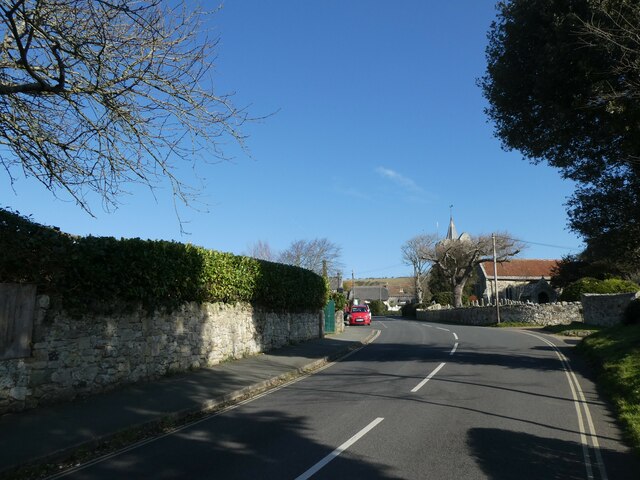
Brighstone

Brighstone is a village and civil parish on the Isle of Wight, 6 miles southwest of Newport on the B3399 road. Brighstone was previously known as "Brixton...

Thorncross

Thorncross is a small hamlet in the South West of the Isle of Wight, England. (The Back of the Wight). It is located near the hamlets of Yafford, Limerstone...

Moortown, Isle of Wight

Moortown is a part of Brighstone on the west side of the Isle of Wight. The area is known as the Back of the Wight. Previously, the only form of public...

Limerstone

Limerstone is a hamlet on the Isle of Wight in England. It is located on the B3399 road between Brighstone (where the 2011Census population was listed...

Yafford

Yafford is a hamlet on the Isle of Wight. It is located 6 miles (9.7 km) southwest from Newport in an area known as the Back of the Wight between Brighstone...

Nearby Amenities

Located within 500m of 50.636823,-1.3963368
Crossing
Crossing: unmarked
Kerb: lowered
Lat/Long: 50.6411468/-1.3972902
Bus Stop
Marsh Green
Bench: no
Bin: no
Bus: yes
Contact Website: https://www.islandbuses.info/stops/230000011340
Lit: no
Naptan AtcoCode: 230000011340
Naptan Bearing: SE
Naptan CommonName: Marsh Green
Naptan Indicator: towards Blackgang
Naptan NaptanCode: iowjgpj
Naptan Street: military road
Public Transport: platform
Shelter: no
Source: naptan_import
Tactile Paving: no
Lat/Long: 50.6342357/-1.3986365
Bus Stop
Marsh Green
Bench: no
Bin: no
Bus: yes
Contact Website: https://www.islandbuses.info/stops/230000011350
Lit: no
Naptan AtcoCode: 230000011350
Naptan Bearing: NW
Naptan CommonName: Marsh Green
Naptan Indicator: towards Freshwater Bay
Naptan NaptanCode: iowjgpm
Naptan Street: Military Road
Public Transport: platform
Shelter: no
Source: naptan_import
Tactile Paving: no
Lat/Long: 50.6341975/-1.3988453
Bus Stop
Wilberforce Road
Bus: yes
Naptan AtcoCode: 230037
Naptan Bearing: SW
Naptan CommonName: Wilberforce Road
Naptan Indicator: Adj
Naptan Landmark: opposite Library
Naptan NaptanCode: iowjwpj
Naptan Street: Wilberforce Road
Naptan Verified: no
Public Transport: platform
Shelter: no
Lat/Long: 50.6411774/-1.3962885
Post Box
Mapillary: 3850381651754727
Operator: Royal Mail
Operator Wikidata: Q638098
Post Box Mounting: pier
Post Box Type: lamp
Ref: PO30 116
Ref GB Uprn: 10015456004
Survey Date: 2020-07-02
Website: https://www.royalmail.com/services-near-you/postbox/new-road-po30-4bd/000PO30116
Lat/Long: 50.6398565/-1.3995363
Barrier: kissing_gate
Lat/Long: 50.6395989/-1.3981501
Give Way
Direction: backward
Lat/Long: 50.6395644/-1.4009463
Barrier: cattle_grid
Lat/Long: 50.6361811/-1.4025096
Power: substation
Ref GB Uprn: 10024887944
Lat/Long: 50.6407009/-1.3976106
Barrier: kissing_gate
Lat/Long: 50.640726/-1.3975729
Marsh Green
Is In: Isle of Wight, UK
Place: locality
Lat/Long: 50.6365675/-1.4016366
Generator Method: photovoltaic
Generator Output Electricity: yes
Generator Solar Modules: 15
Generator Source: solar
Generator Type: solar_photovoltaic_panel
Location: roof
Power: generator
Lat/Long: 50.6401143/-1.3998717
Give Way
Direction: forward
Lat/Long: 50.6410032/-1.3972264
Give Way
Direction: backward
Lat/Long: 50.6395214/-1.4008282
Barrier: kerb
Lat/Long: 50.6411506/-1.3972437
Barrier: kerb
Lat/Long: 50.6411441/-1.3973232
The data included in this document is from www.openstreetmap.org. The data is made available under ODbL.

Have you been to Marsh Green?

Leave your review of Marsh Green below (or comments, questions and feedback).