Calbourne Bottom
Valley in Hampshire
England
Calbourne Bottom
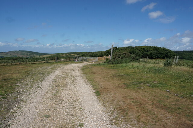
Calbourne Bottom is a picturesque valley located in the county of Hampshire, England. Situated near the village of Calbourne, it is nestled within the scenic Isle of Wight Area of Outstanding Natural Beauty. This tranquil valley is renowned for its unspoiled natural beauty and diverse wildlife.
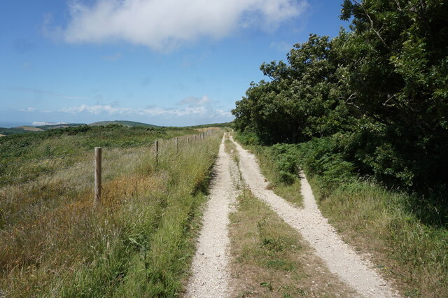
The valley is characterized by its lush green meadows, rolling hills, and dense woodlands, creating a peaceful and idyllic setting. The Calbourne River meanders through the valley, adding to its charm and providing a habitat for a variety of aquatic species.
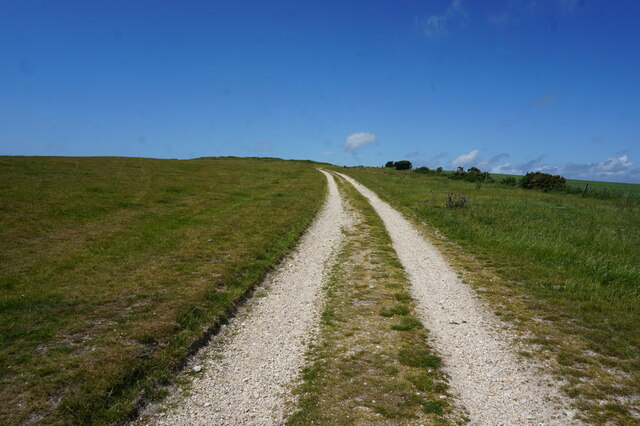
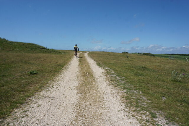
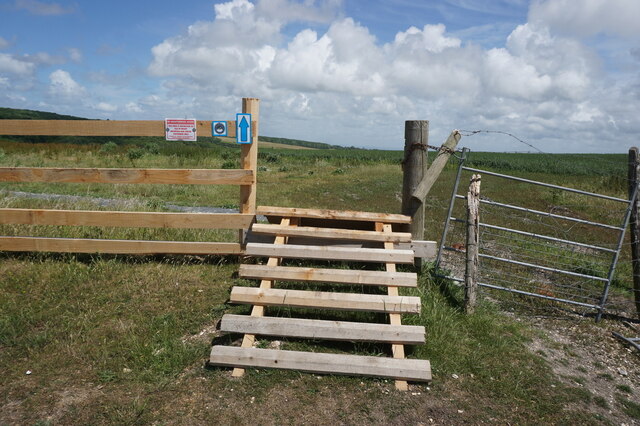
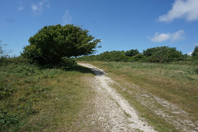
Calbourne Bottom offers numerous walking trails, making it a popular destination for nature enthusiasts and hikers. The trails provide stunning panoramic views of the surrounding countryside, with opportunities to spot wildlife such as deer, foxes, and a variety of bird species.
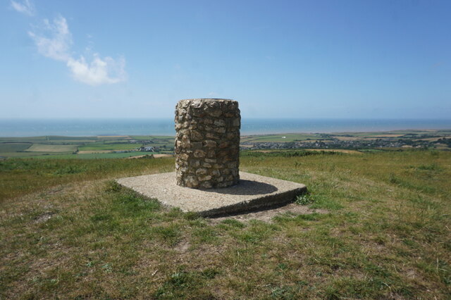
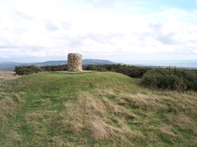
In addition to its natural beauty, Calbourne Bottom is also of historical significance. The valley is home to several archaeological sites, including ancient burial mounds and remnants of medieval settlements, offering glimpses into the region's rich history.
Visitors to Calbourne Bottom can explore the valley at their leisure, taking in the sights and sounds of this peaceful oasis. The area is perfect for picnics, photography, or simply enjoying a moment of tranquility amidst nature.
If you have any feedback on the listing, please let us know in the comments section below.
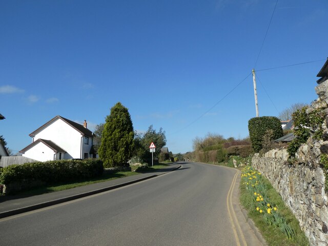
Calbourne Bottom Images
Images are sourced within 2km of 50.660705/-1.4044631 or Grid Reference SZ4284. Thanks to Geograph Open Source API. All images are credited.


Calbourne Bottom is located at Grid Ref: SZ4284 (Lat: 50.660705, Lng: -1.4044631)
Unitary Authority: Isle of Wight
Police Authority: Hampshire
What 3 Words
///badge.similar.dentistry. Near Brighstone, Isle of Wight
Nearby Locations
Related Wikis
Brighstone Down
Brighstone Down is a chalk down on the Isle of Wight. It is located close to the village of Brighstone, in the southwest of the island (the Back of the...

Brighstone Forest
Brighstone Forest is located in the southwest of the Isle of Wight. It is the largest forest on the Isle of Wight, being just a few hectares larger than...

Moortown, Isle of Wight
Moortown is a part of Brighstone on the west side of the Isle of Wight. The area is known as the Back of the Wight. Previously, the only form of public...
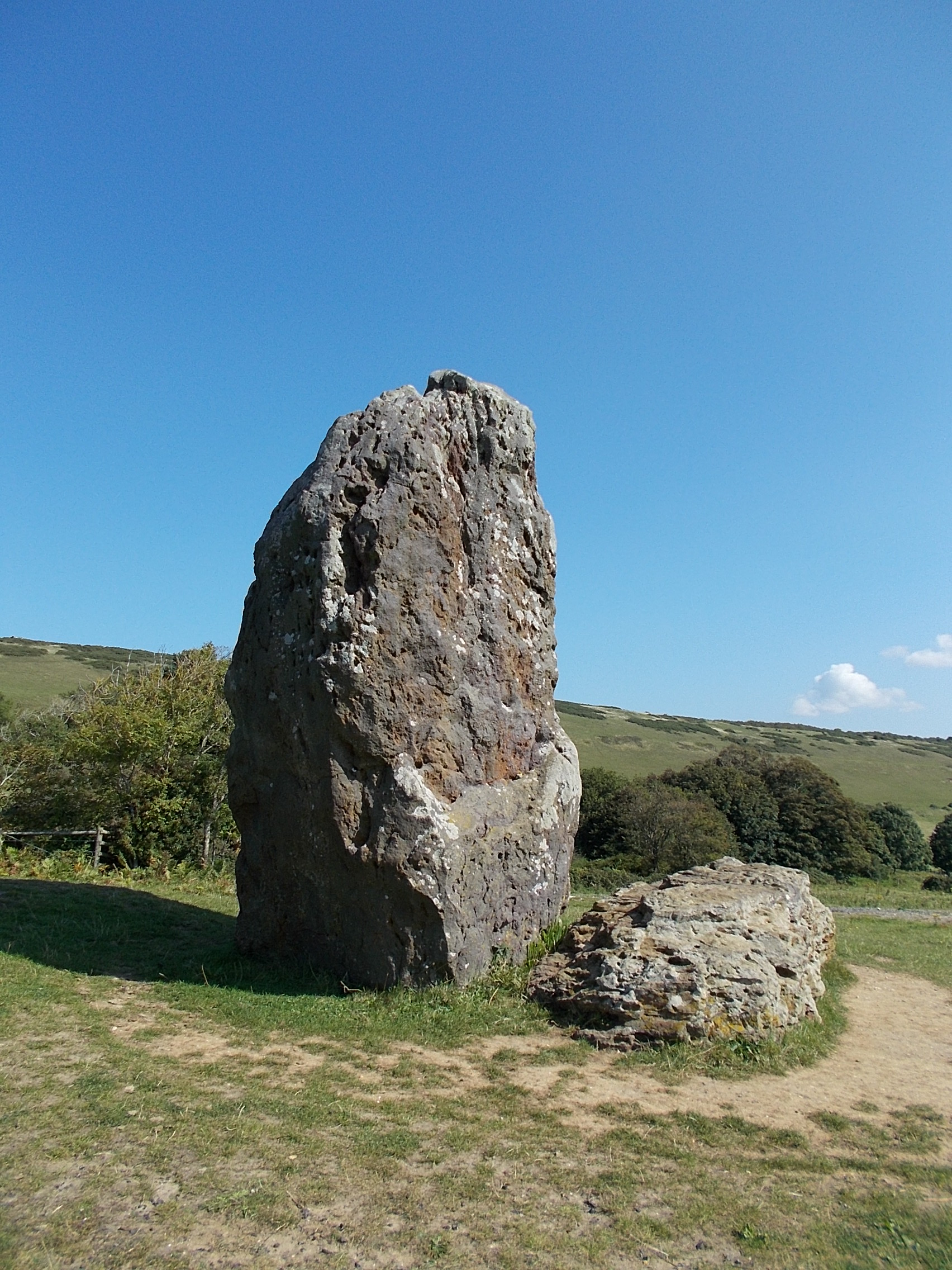
The Longstone, Mottistone
The Longstone is a megalithic monument near the village of Mottistone, close to the south west coast of the Isle of Wight. It is the only megalithic monument...
Nearby Amenities
Located within 500m of 50.660705,-1.4044631Have you been to Calbourne Bottom?
Leave your review of Calbourne Bottom below (or comments, questions and feedback).