Lady Clough
Valley in Yorkshire
England
Lady Clough
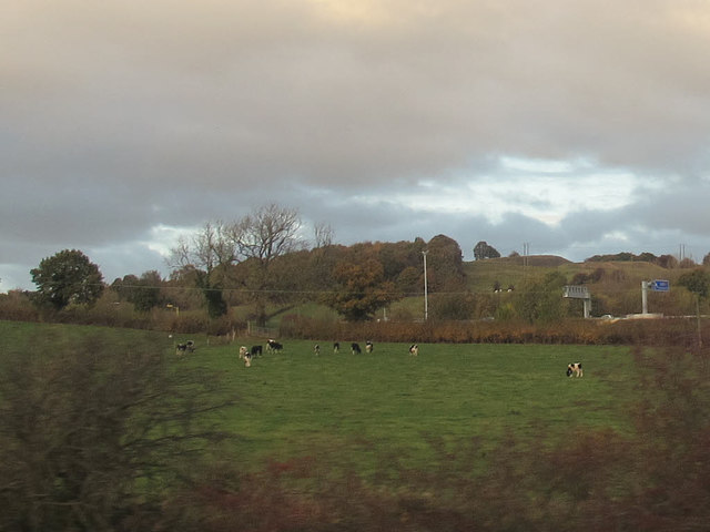
Lady Clough is a picturesque valley located in the county of Yorkshire, England. Nestled within the larger Peak District National Park, it is renowned for its stunning natural beauty and tranquil atmosphere. The valley is named after the Lady Clough, a small stream that meanders through its heart, adding to its charm.
The landscape of Lady Clough is characterized by rolling hills, lush green meadows, and dense woodlands, making it a haven for nature enthusiasts and hikers. The valley offers a variety of walking trails, ranging from leisurely strolls to more challenging hikes, allowing visitors to explore its diverse flora and fauna. The surrounding hills provide breathtaking panoramic views of the countryside, creating ample opportunities for photography and peaceful contemplation.
Lady Clough is also home to a rich array of wildlife, including various bird species, small mammals, and rare plants. Nature lovers can spot red grouse, curlews, and even the elusive peregrine falcon in the area. The valley's unique ecosystem makes it an important site for conservation, with efforts in place to protect its natural heritage.
Visitors to Lady Clough can also enjoy the tranquility of the valley by picnicking near the stream or engaging in activities like fishing. The nearby village offers quaint tea rooms and local pubs, allowing visitors to soak up the traditional Yorkshire atmosphere. With its unspoiled natural beauty and peaceful ambience, Lady Clough is a must-visit destination for those seeking a memorable countryside experience in Yorkshire.
If you have any feedback on the listing, please let us know in the comments section below.
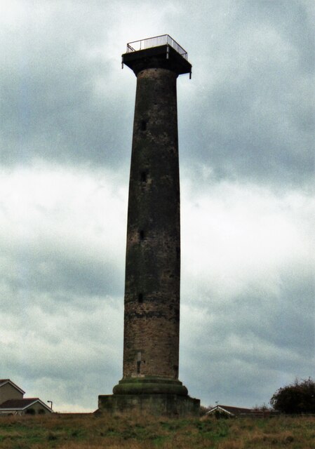
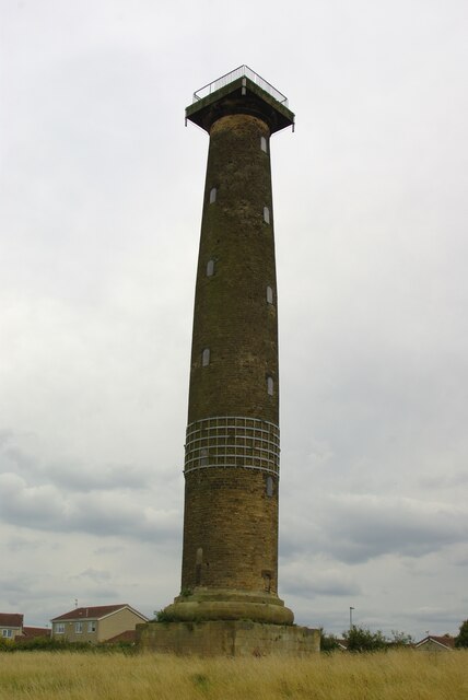
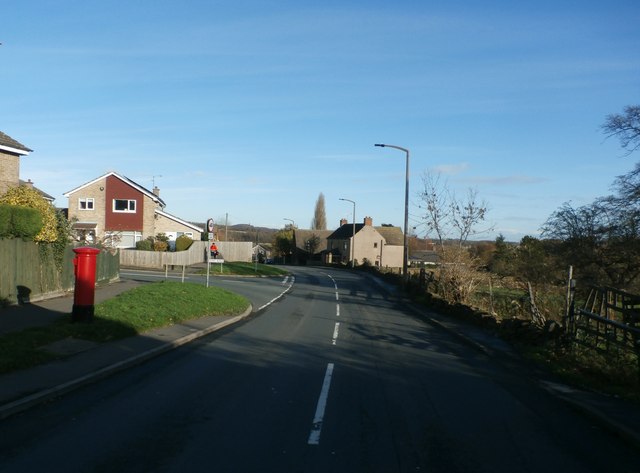
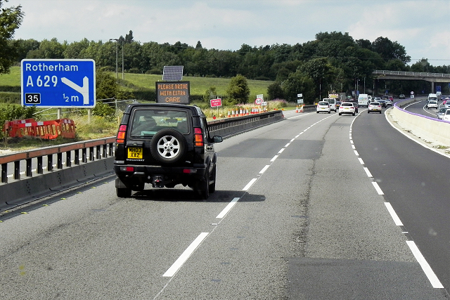
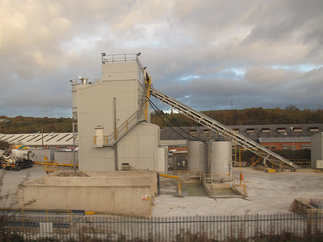
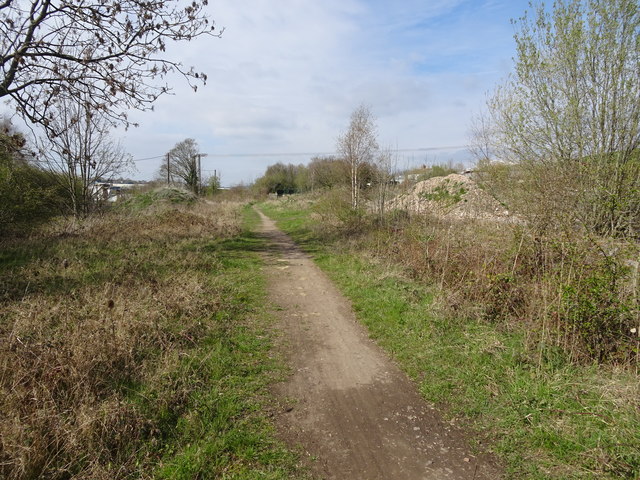
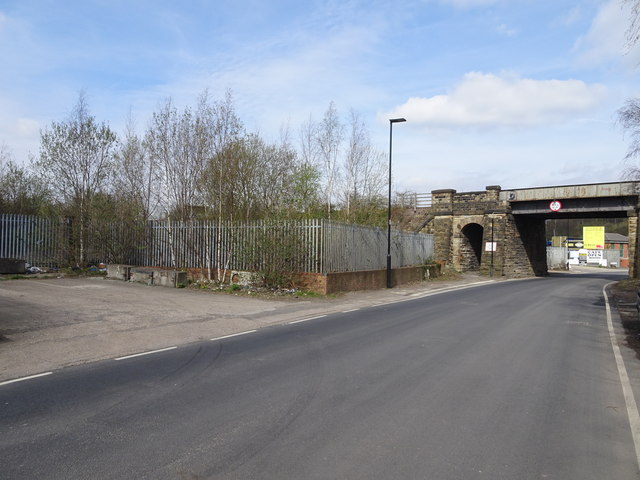
Lady Clough Images
Images are sourced within 2km of 53.451877/-1.4399188 or Grid Reference SK3795. Thanks to Geograph Open Source API. All images are credited.

Lady Clough is located at Grid Ref: SK3795 (Lat: 53.451877, Lng: -1.4399188)
Division: West Riding
Unitary Authority: Rotherham
Police Authority: South Yorkshire
What 3 Words
///goats.taken.terms. Near Chapeltown, South Yorkshire
Nearby Locations
Related Wikis
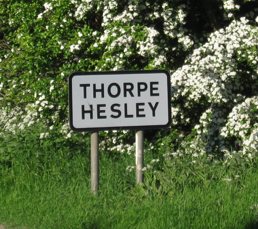
Thorpe Hesley
Thorpe Hesley is a village in the Metropolitan Borough of Rotherham, South Yorkshire, England, lying east of the M1 motorway at junction 35. The village...
Ecclesfield East railway station
Ecclesfield East railway station was built by the South Yorkshire Railway on their "Blackburn Valley" line between Sheffield Wicker and Barnsley. The station...

Chapeltown Academy
Chapeltown Academy is a free school sixth form located in the Chapeltown area of Sheffield, South Yorkshire, England. It was the first free school approved...

Ecclesfield West railway station
Ecclesfield West railway station was a railway station in Sheffield, South Yorkshire, England. The station served the communities of Ecclesfield and Shiregreen...
Nearby Amenities
Located within 500m of 53.451877,-1.4399188Have you been to Lady Clough?
Leave your review of Lady Clough below (or comments, questions and feedback).