Gleadless Valley
Valley in Derbyshire
England
Gleadless Valley
Gleadless Valley is a residential area located in Sheffield, South Yorkshire, England. Contrary to the prompt, it is not in Derbyshire but rather in the county of South Yorkshire. The neighborhood is situated approximately 4.5 miles southeast of Sheffield city center, nestled between the districts of Gleadless to the north, Low Edges to the east, and Norton Lees to the west.
Gleadless Valley is primarily a housing estate built in the mid-20th century to accommodate the increasing population after World War II. The area features a mix of terraced houses, semi-detached houses, and high-rise blocks of flats. The architecture of the estate is predominantly post-war design, reflecting the era in which it was constructed.
The community of Gleadless Valley offers a range of amenities to its residents, including several local shops, a community center, a library, and a medical center. There are also multiple primary and secondary schools serving the area, making it an attractive location for families.
Gleadless Valley is surrounded by green spaces, with Gleadless Valley Park being a notable recreational area. The park provides open fields, play areas, and walking paths for residents to enjoy. Additionally, the area benefits from good transport links, with regular bus services connecting it to Sheffield city center and other nearby areas.
Overall, Gleadless Valley is a vibrant residential area with a strong sense of community, offering a range of amenities and green spaces for its residents to enjoy.
If you have any feedback on the listing, please let us know in the comments section below.
Gleadless Valley Images
Images are sourced within 2km of 53.348315/-1.4429889 or Grid Reference SK3783. Thanks to Geograph Open Source API. All images are credited.


Gleadless Valley is located at Grid Ref: SK3783 (Lat: 53.348315, Lng: -1.4429889)
Unitary Authority: Sheffield
Police Authority: South Yorkshire
What 3 Words
///draw.crass.frost. Near Sheffield, South Yorkshire
Nearby Locations
Related Wikis

Gleadless Valley
Gleadless Valley is a housing estate and electoral ward of the City of Sheffield in England. The population of the estate at the 2021 Census was 9,724...
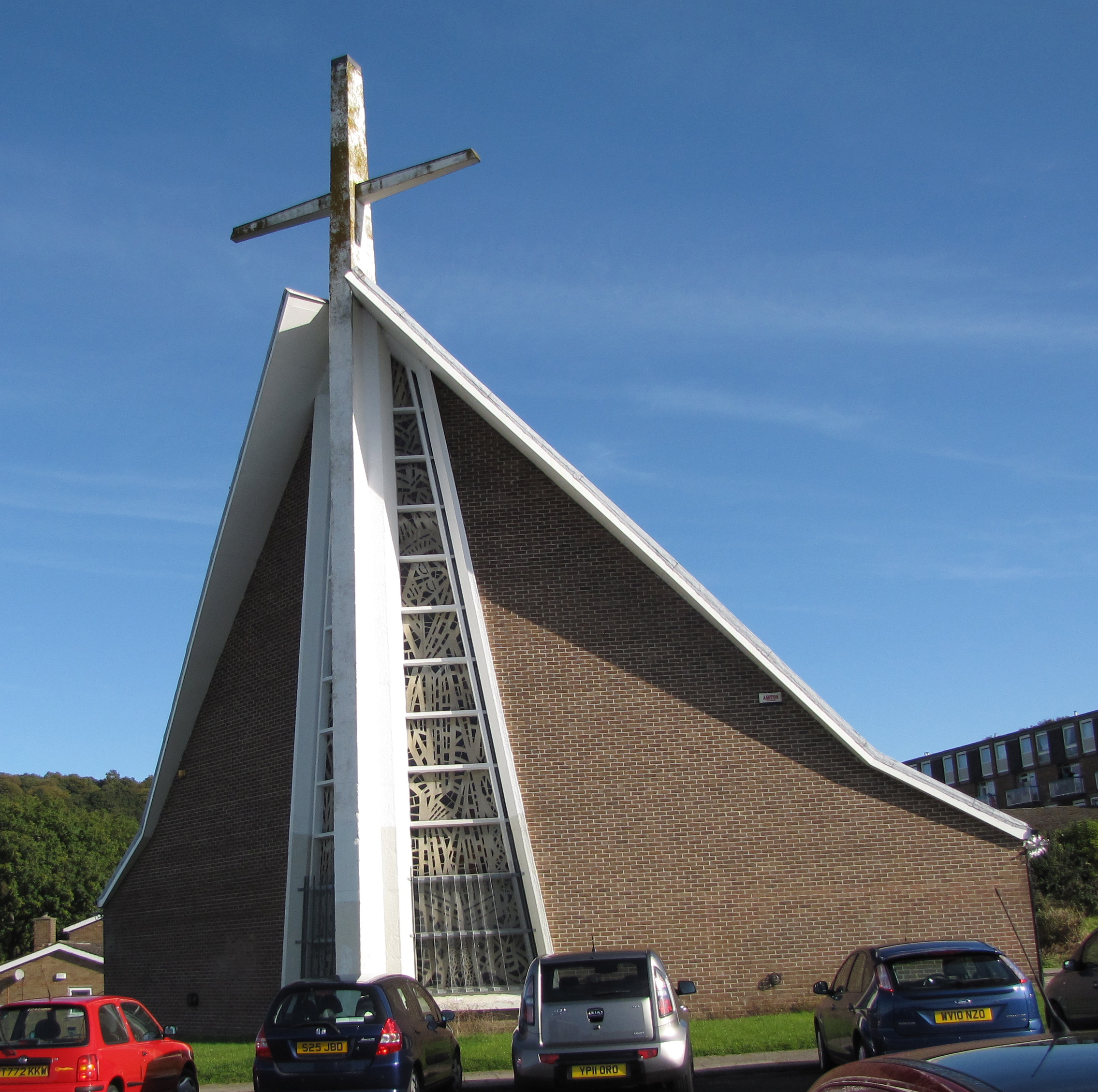
Holy Cross Church, Gleadless Valley
Holy Cross Church, Gleadless Valley, is a Church of England church building in the City of Sheffield, England. It is situated on Spotswood Mount and is...
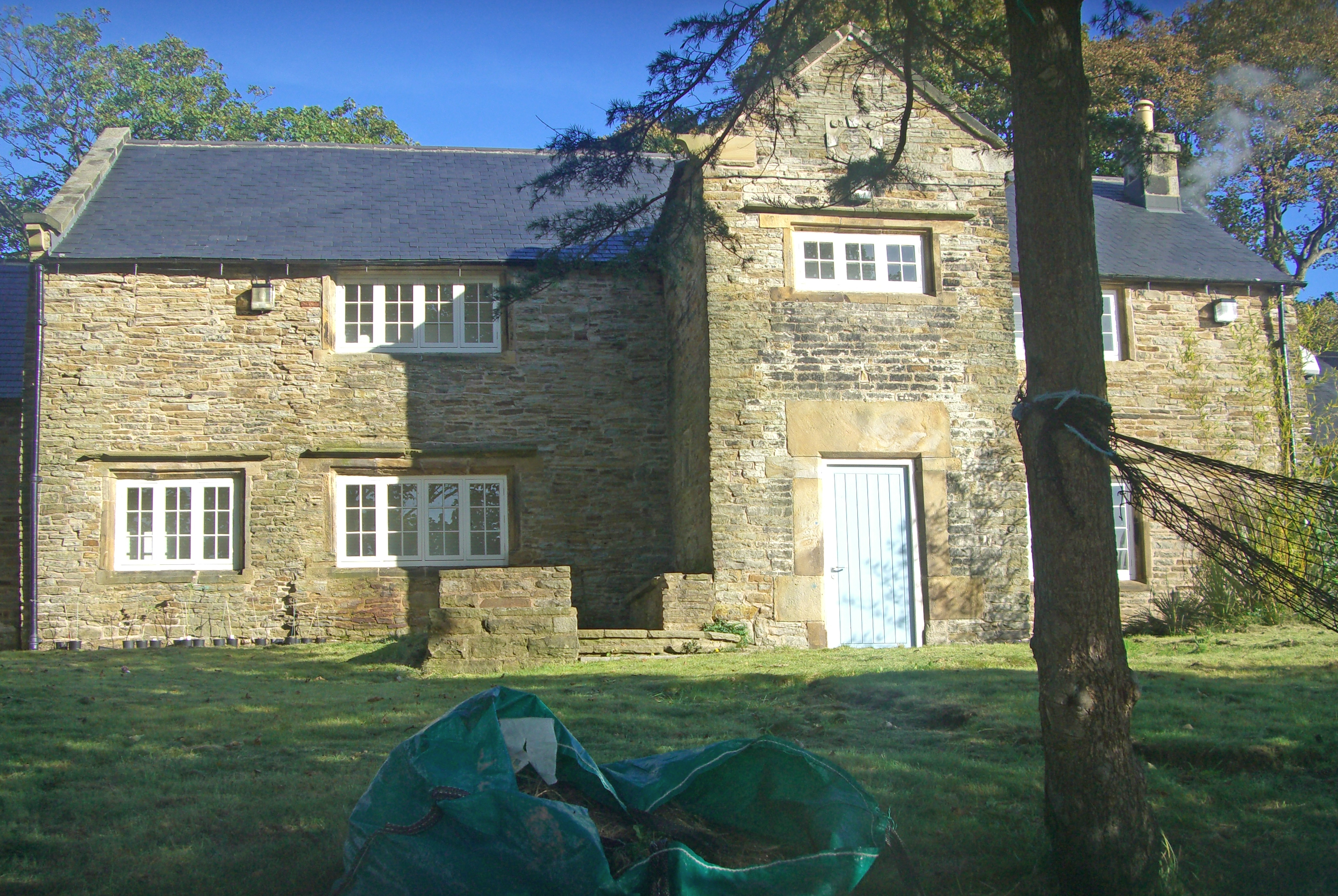
The Herdings
The Herdings is a grade-II listed building located in Herdings, Gleadless Valley, Sheffield, England. Although the current structure dates back to 1675...

Gleadless Valley (ward)
Gleadless Valley ward—which includes the districts of Gleadless Valley (Hemsworth, Herdings), Heeley, Lowfield, and Meersbrook—is one of the 28 electoral...
Nearby Amenities
Located within 500m of 53.348315,-1.4429889Have you been to Gleadless Valley?
Leave your review of Gleadless Valley below (or comments, questions and feedback).