The Valley

Valley in Shetland

Scotland

The Valley

Fitful Head from the air
Fitful Head from the air Credit: Mike Pennington

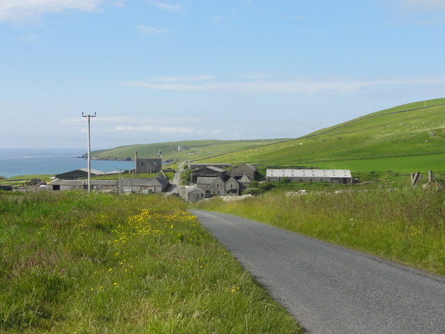
The Valley, Shetland, also known simply as Valley, is a village located on the East Mainland of the Shetland Islands, Scotland. Situated on the A970 road, it is approximately 14 miles (22 kilometers) north of the capital, Lerwick.

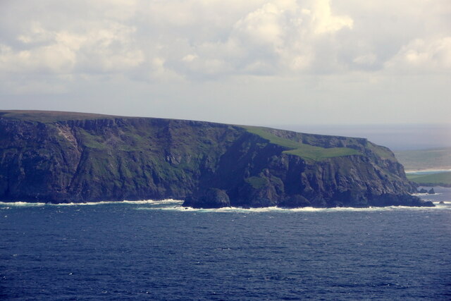
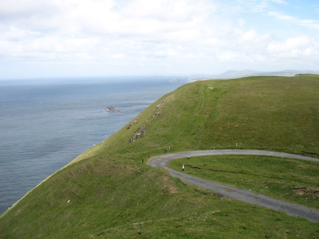
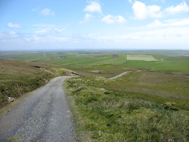
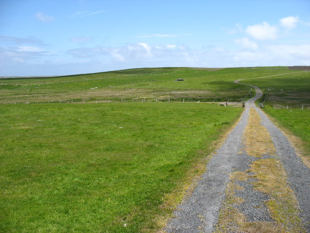
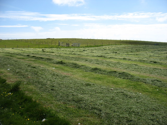
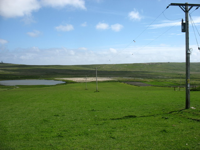
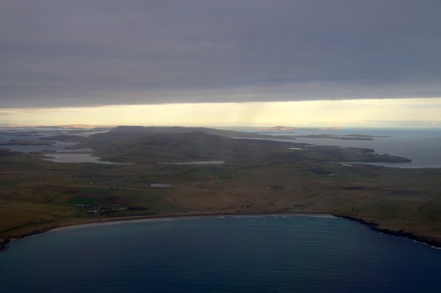
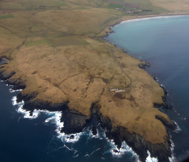
The Valley is a small, picturesque village surrounded by rolling hills and stunning natural landscapes. It is nestled in a valley between the Gletness Hill and the Hill of Urie, offering breathtaking views of the surrounding countryside and coastline. The village is primarily residential, with a close-knit community that takes pride in its heritage and natural surroundings.

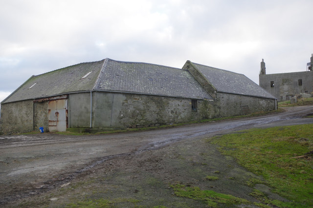
The Valley is known for its tranquility and peaceful atmosphere, making it a popular destination for those seeking a quiet retreat. The village offers a range of amenities to its residents, including a primary school, a post office, and a village hall. There are also several small businesses and local shops that cater to the needs of the community.

The area around The Valley is rich in history and offers plenty of opportunities for outdoor activities. Visitors can explore the nearby Ness of Sound, a narrow isthmus that separates the Loch of Sound from the North Sea. The surrounding hills provide excellent hiking and walking trails, with stunning views at every turn.

In summary, The Valley in Shetland is a charming village that offers a peaceful and idyllic setting for residents and visitors alike. With its natural beauty and rich history, it is a place that captures the hearts of all who visit.

If you have any feedback on the listing, please let us know in the comments section below.
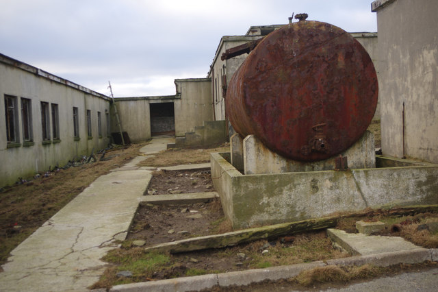
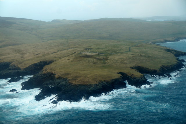
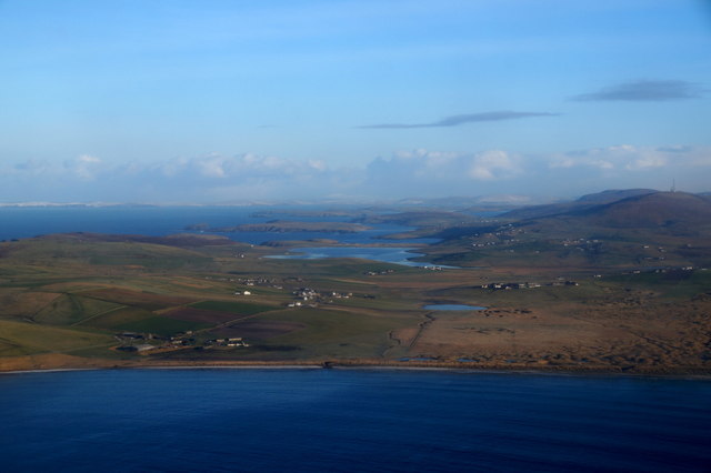
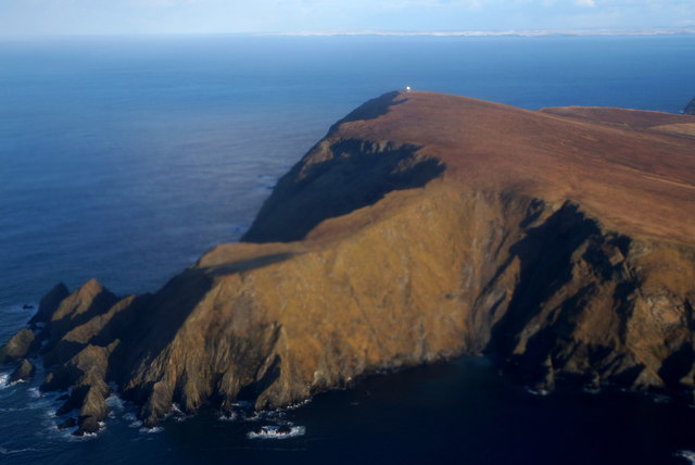
The Valley Images

Images are sourced within 2km of 59.90382/-1.3510459 or Grid Reference HU3613. Thanks to Geograph Open Source API. All images are credited.

Fitful Head from the air
Whales Wick, Fitful Head, from the air
The bend in the track There is a well-graded track up to the communications masts on Fitful Head. Clearly, it is not open to the public to drive up, but it is an easy walk from Quendale. At this point, there is a sharp bend. Coming down, I certainly would not want to lose control here, or miss the turn in mist. The consequences are pretty clear!

I think that the rocks just left of centre must be Swarta Skerry, in <a href="https://www.geograph.org.uk/gridref/HU3415">HU3415</a>.
The bend in the track
There is a well-graded track up to the communications masts on Fitful Head. Clearly, it is not open to the public to drive up, but it is an easy walk from Quendale. At this point, there is a sharp bend. Coming down, I certainly would not want to lose control here, or miss the turn in mist. The consequences are pretty clear! I think that the rocks just left of centre must be Swarta Skerry, in HU3415.
The track from Fitful Head A well-graded track serves the communications station on Fitful Head. Clearly, it is not open to the public to drive, but it gives an easy walk. This is looking back downhill towards Quendale.
The track from Fitful Head
A well-graded track serves the communications station on Fitful Head. Clearly, it is not open to the public to drive, but it gives an easy walk. This is looking back downhill towards Quendale.
The track from Fitful Head Looking east towards Gord Farm and Quendale.

The public are not allowed to drive up this track, which is used by engineers servicing the masts on Fitful Head. But it makes for a very easy walk to this 283m high hill.
The track from Fitful Head
Looking east towards Gord Farm and Quendale. The public are not allowed to drive up this track, which is used by engineers servicing the masts on Fitful Head. But it makes for a very easy walk to this 283m high hill.
Drying the hay at Gord Farm At least two weeks of dry weather must have been very welcome. And another week, at least, to come.
Drying the hay at Gord Farm
At least two weeks of dry weather must have been very welcome. And another week, at least, to come.
Loch of Hillwell Electricity power cables may not be among the most attractive items in rural areas - but they are vital to local life and (in Geograph terms) certainly "typical of the square".
Loch of Hillwell
Electricity power cables may not be among the most attractive items in rural areas - but they are vital to local life and (in Geograph terms) certainly "typical of the square".
Quendale Farm & Mill Road leading to Quendale Farm and Mill
Quendale Farm & Mill
Road leading to Quendale Farm and Mill
Bay of Quendale from the air Taken from a plane just after take-off from Sumburgh Airport. The Loch of Hillwell and, further back, the Lochs of Spiggie and Brow can be seen. In the distance some of the rest of Shetland is in sunshine, including Noss and Bressay on the right.
Bay of Quendale from the air
Taken from a plane just after take-off from Sumburgh Airport. The Loch of Hillwell and, further back, the Lochs of Spiggie and Brow can be seen. In the distance some of the rest of Shetland is in sunshine, including Noss and Bressay on the right.
Garths Ness from the air Taken from a plane just after take-off from Sumburgh Airport.
Garths Ness from the air
Taken from a plane just after take-off from Sumburgh Airport.
Garth Wick from the air Taken from a plane just after take-off from Sumburgh Airport. The Lochs of Spiggie and Brow are obvious in the distance.
Garth Wick from the air
Taken from a plane just after take-off from Sumburgh Airport. The Lochs of Spiggie and Brow are obvious in the distance.
Quendale Farm Opposite Quendale Mill is Quendale Farm, above which is a substantial ruined house, a Shetland haa or laird's house.
Quendale Farm
Opposite Quendale Mill is Quendale Farm, above which is a substantial ruined house, a Shetland haa or laird's house.
Quendale Mill The mill dates from the 1860s and is open to the public in summer.
Quendale Mill
The mill dates from the 1860s and is open to the public in summer.
RAF Garths Ness The abandoned remains of a radio navigation station, operational between 1961 and 1978.
RAF Garths Ness
The abandoned remains of a radio navigation station, operational between 1961 and 1978.
RAF Garths Ness The abandoned remains of a radio navigation station, operational between 1961 and 1978.
RAF Garths Ness
The abandoned remains of a radio navigation station, operational between 1961 and 1978.
Garths Ness from the air From a plane about to land at Sumburgh Airport.
Garths Ness from the air
From a plane about to land at Sumburgh Airport.
Quendale and Hillwell from the air Taken from a plane just after take-off from Sumburgh Airport.
Quendale and Hillwell from the air
Taken from a plane just after take-off from Sumburgh Airport.
Siggar Ness and Fitful Head from the air Taken from a plane just after take-off from Sumburgh Airport. There is snow on the west Mainland of Shetland in the distance.
Siggar Ness and Fitful Head from the air
Taken from a plane just after take-off from Sumburgh Airport. There is snow on the west Mainland of Shetland in the distance.
Show me another place!

The Valley is located at Grid Ref: HU3613 (Lat: 59.90382, Lng: -1.3510459)

Unitary Authority: Shetland Islands

Police Authority: Highlands and Islands

What 3 Words

///adhesive.blackmail.nation. Near Sumburgh, Shetland Islands

Nearby Locations

The Valley

Related Wikis

Fitful Head

Fitful Head is a 283-metre-high (928 ft) headland at the southwest corner of Mainland, Shetland, Scotland, some 6 kilometres (3.7 mi) northwest of the...

MV Braer

The MV Braer was an oil tanker which ran aground during a storm off Shetland, Scotland, in January 1993, and nearly a week later broke up during the most...

Toab, Shetland

Toab is the southernmost village on Mainland, Shetland, Scotland. It is part of Virkie and overlooks Sumburgh Airport. Toab is within the parish of Dunrossness...

Lochs of Spiggie and Brow

The Lochs of Spiggie and Brow are located west of Boddam in the parish of Dunrossness, in the South Mainland of Shetland, Scotland, about 6 km north of...

Nearby Amenities

Located within 500m of 59.90382,-1.3510459
Power: pole
Lat/Long: 59.9000239/-1.3551571
Power: pole
Lat/Long: 59.9000019/-1.3539444
Power: pole
Lat/Long: 59.8999753/-1.3528125
Power: pole
Lat/Long: 59.8999625/-1.3522004
Power: pole
Lat/Long: 59.8999463/-1.3516044
Power: pole
Lat/Long: 59.8999313/-1.350849
Power: pole
Lat/Long: 59.8999162/-1.3501237
Power: pole
Lat/Long: 59.8999023/-1.3494353
Power: pole
Lat/Long: 59.8998907/-1.3487677
Power: pole
Lat/Long: 59.8998803/-1.3480955
Power: pole
Lat/Long: 59.8998641/-1.3474072
The data included in this document is from www.openstreetmap.org. The data is made available under ODbL.

Have you been to The Valley?

Leave your review of The Valley below (or comments, questions and feedback).