Horsebush Bottom

Valley in Hampshire New Forest

England

Horsebush Bottom

Sowley, entrance To Beck House; the entrance to the farm is to the West.
Sowley, entrance Credit: Mike Faherty

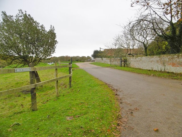
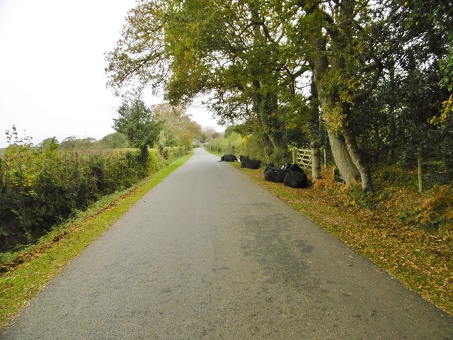
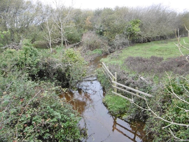
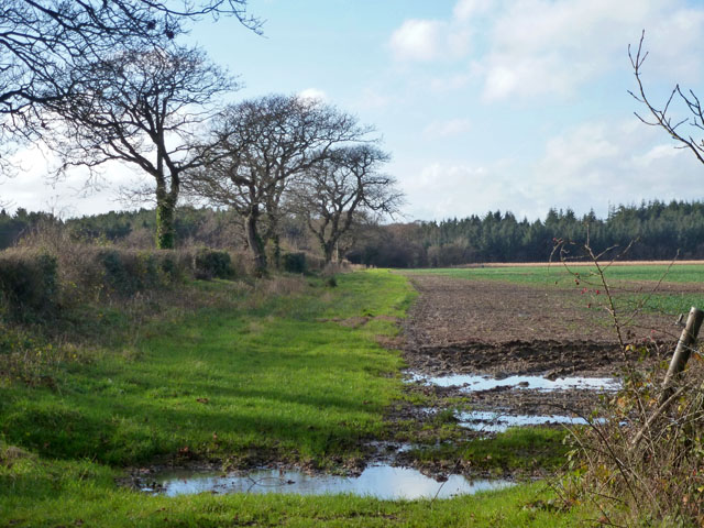
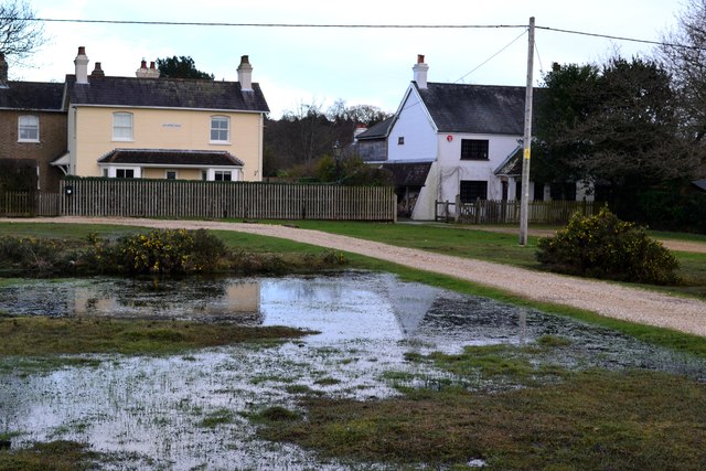
Horsebush Bottom is a picturesque valley located in Hampshire, England. Situated in the South Downs National Park, it is known for its stunning natural beauty and diverse wildlife.

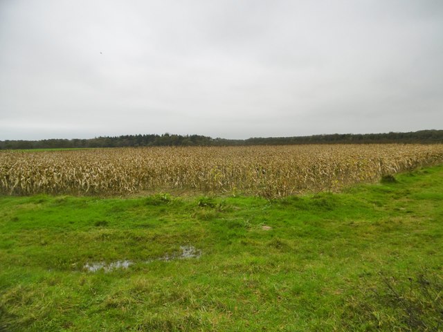
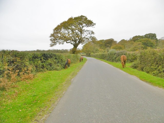
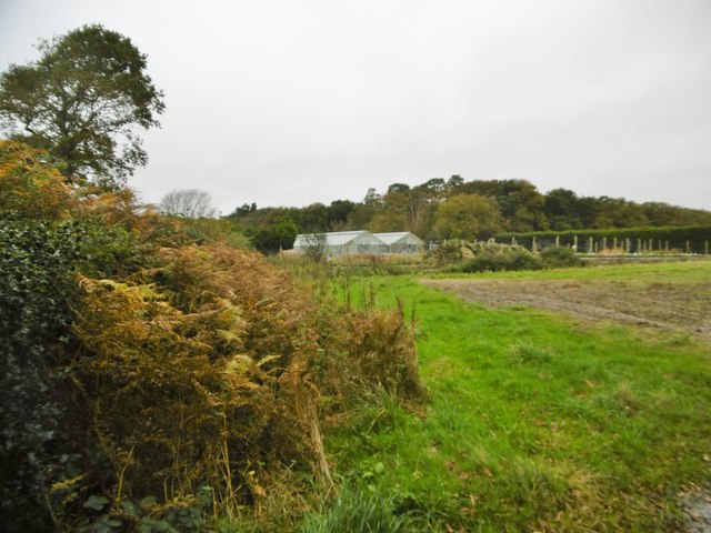
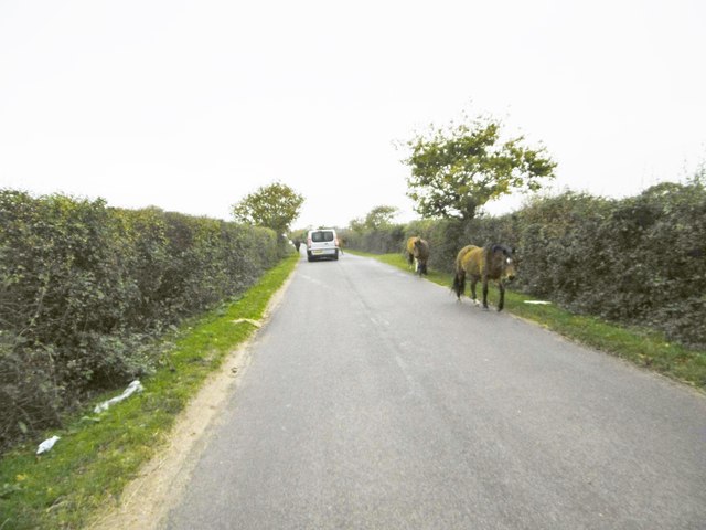
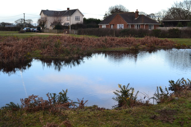
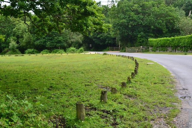
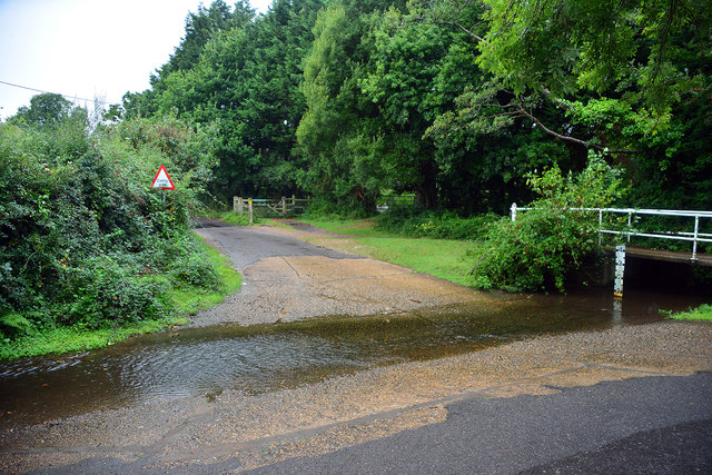
The valley is characterized by rolling hills, lush meadows, and dense woodlands, providing a scenic backdrop for visitors and nature enthusiasts alike. The area is home to a wide range of plant and animal species, including rare orchids, butterflies, and various bird species. The tranquility of the valley attracts hikers, cyclists, and nature lovers who enjoy exploring the numerous walking trails and observing the wildlife.

Horsebush Bottom also holds historical significance, with remnants of ancient settlements and burial sites dating back to the Neolithic period. Archaeological discoveries have revealed evidence of human activity in the area, adding a layer of cultural heritage to the valley.

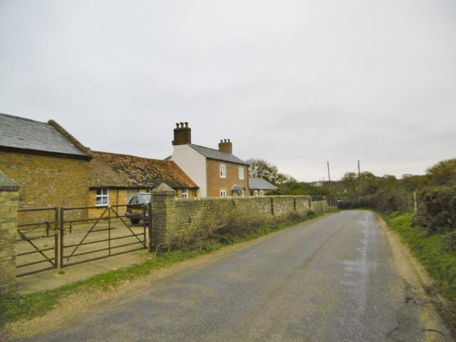
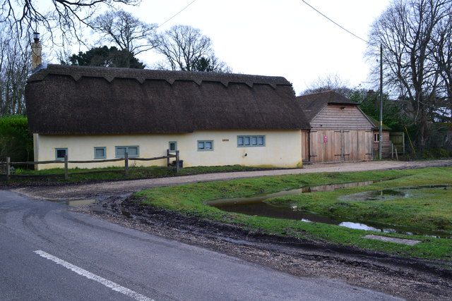
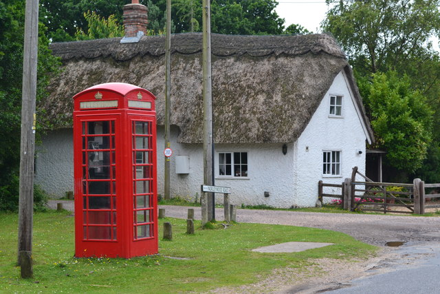
For those seeking relaxation or a countryside getaway, Horsebush Bottom offers several accommodation options, including quaint cottages and bed and breakfast establishments. Visitors can unwind in the peaceful surroundings, taking in the idyllic scenery and enjoying the serenity of rural life.

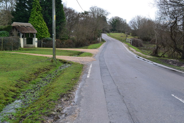
The valley is easily accessible by road, and there are nearby villages and towns that offer amenities such as shops, restaurants, and pubs. Whether for a day trip or an extended stay, Horsebush Bottom provides a haven of natural beauty and tranquility in the heart of Hampshire's countryside.

If you have any feedback on the listing, please let us know in the comments section below.

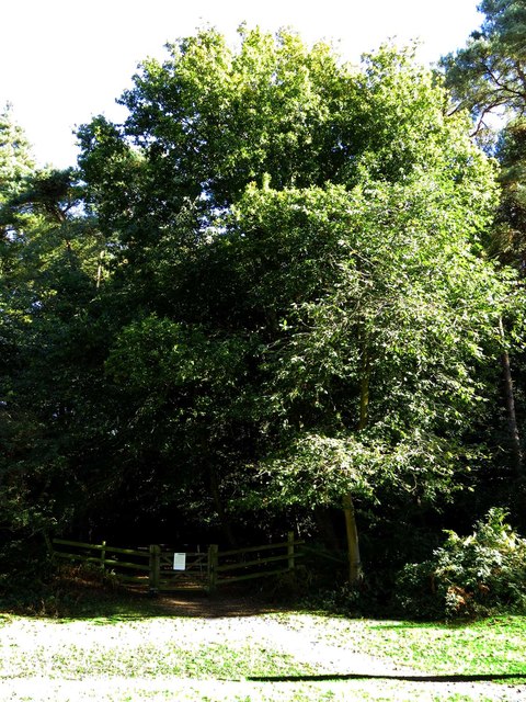
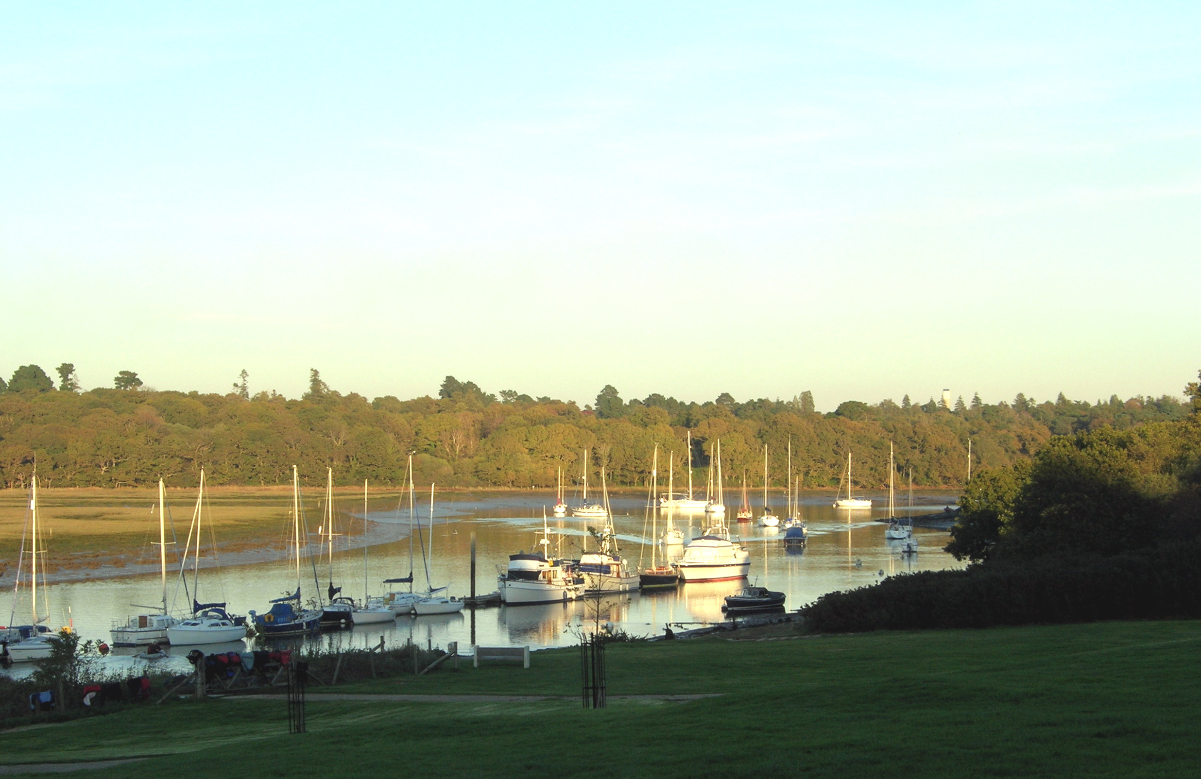
Horsebush Bottom Images

Images are sourced within 2km of 50.788072/-1.4845038 or Grid Reference SZ3698. Thanks to Geograph Open Source API. All images are credited.

Sowley, entrance To Beck House; the entrance to the farm is to the West.
Sowley, entrance
To Beck House; the entrance to the farm is to the West.
East End, maize field This field does not seem to have been harvested; perhaps it has been maintained as a pheasant covert - birds are visible in the area.
East End, maize field
This field does not seem to have been harvested; perhaps it has been maintained as a pheasant covert - birds are visible in the area.
East End, ponies New Forest ponies grazing on the verges of St Leonards Road, exercising their owners' Common of Pasture. <span class="nowrap"><a title="http://www.newforest.hampshire.org.uk/today1.html" rel="nofollow ugc noopener" href="http://www.newforest.hampshire.org.uk/today1.html">Link</a><img style="margin-left:2px;" alt="External link" title="External link - shift click to open in new window" src="https://s1.geograph.org.uk/img/external.png" width="10" height="10"/></span>
East End, ponies
New Forest ponies grazing on the verges of St Leonards Road, exercising their owners' Common of Pasture. LinkExternal link
East End, glasshouses At Beckheath Nurseries, on St Leonards Road.
East End, glasshouses
At Beckheath Nurseries, on St Leonards Road.
East End, cattle On St Leonards Road; perhaps, not so much jay-walking as jay-resting. Whatever, exercising their owner's Common of Pasture. <span class="nowrap"><a title="http://www.newforest.hampshire.org.uk/today1.html" rel="nofollow ugc noopener" href="http://www.newforest.hampshire.org.uk/today1.html">Link</a><img style="margin-left:2px;" alt="External link" title="External link - shift click to open in new window" src="https://s1.geograph.org.uk/img/external.png" width="10" height="10"/></span>
East End, cattle
On St Leonards Road; perhaps, not so much jay-walking as jay-resting. Whatever, exercising their owner's Common of Pasture. LinkExternal link
East End, Crockford Stream Looking upstream from East End Bridge.
East End, Crockford Stream
Looking upstream from East End Bridge.
East End, Bridge Farmhouse
East End, jaywalking ponies Exercising their owners' rights to Common of Pasture. <span class="nowrap"><a title="http://www.newforest.hampshire.org.uk/today1.html" rel="nofollow ugc noopener" href="http://www.newforest.hampshire.org.uk/today1.html">Link</a><img style="margin-left:2px;" alt="External link" title="External link - shift click to open in new window" src="https://s1.geograph.org.uk/img/external.png" width="10" height="10"/></span>
East End, jaywalking ponies
Exercising their owners' rights to Common of Pasture. LinkExternal link
Field west of Lodge Lane Horsemoor Copse is in the distance.
Field west of Lodge Lane
Horsemoor Copse is in the distance.
Bridge over stream in Cripplegate Lane
Thatched cottage between East Boldre and East End
Pond and houses
Pond and houses
Houses on the edge of the heath
Beck farm
Beck farm
Telephone box and thatched cottage at Norleywood
Grassed area beside Norleywood Road
Ford at Norleywood This ford on Plummers Water is found on the junction of Brook Hill at Norleywood.
Ford at Norleywood
This ford on Plummers Water is found on the junction of Brook Hill at Norleywood.
The entrance to Norley Wood
Show me another place!

Horsebush Bottom is located at Grid Ref: SZ3698 (Lat: 50.788072, Lng: -1.4845038)

Administrative County: Hampshire

District: New Forest

Police Authority: Hampshire

What 3 Words

///onion.lads.ramble. Near Lymington, Hampshire

Related Wikis

Norley Copse and Meadow

Norley Copse and Meadow is a 7.5-hectare (19-acre) biological Site of Special Scientific Interest east of Lymington in Hampshire. It is part of New Forest...

East End, Hampshire

East End is a hamlet in the civil parish of East Boldre in the New Forest National Park of Hampshire, England. Its nearest town is Lymington, which lies...

Norley Wood

Norley Wood (or Norleywood) is a hamlet in the New Forest National Park of Hampshire, England. It is in the civil parish of Boldre. Its nearest town...

East Boldre

East Boldre is a linear village and civil parish situated near Lymington, Hampshire, England. East Boldre is surrounded by the New Forest and forms part...

Sowley Pond

Sowley Pond is a 49.3-hectare (122-acre) biological Site of Special Scientific Interest east of Lymington in Hampshire. It is part of Solent and Southampton...

RAF Beaulieu

Royal Air Force Beaulieu or more simply RAF Beaulieu is a former Royal Air Force station in the New Forest, Hampshire, England. It was also known as Beaulieu...

South Baddesley

South Baddesley is a small village in the civil parish of Boldre in the New Forest National Park of Hampshire, England. It lies 2.3 miles (3.7 km) north...

South Hampshire Coast

The South Hampshire Coast was an Area of Outstanding Natural Beauty (AONB) in Hampshire, England, UK that was subsumed into the New Forest National Park...

Related Videos

Hiking With Me RAF Lymington

Walk With Me RAF Lymington.

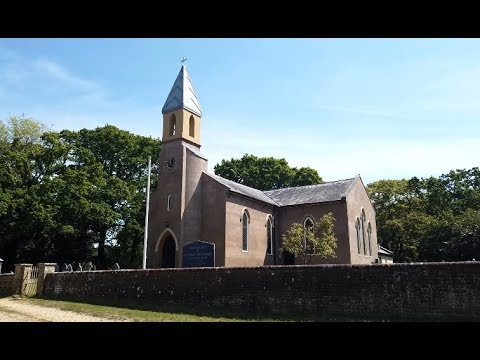
Hiking Little Known About South Baddesley Church and Ford Crossing

https://www.google.com/maps/@50.7692708,-1.5029436,3a,75y,125.18h ...

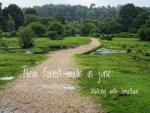
New Forest walk in June. Beaulieu to Longslade Bottom

Walking from Hatchet Pond near Beaulieu to Longslade Bottom in the heart of the New Forest on a changeable day in June ...

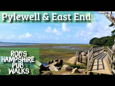
#46 Rob's Hampshire Pub Walks. New Forest National Park. Pylewell & East End

Hampshire walks are full of surprises. Who is the owner of the celebrity pub in East End ? Discover superbly located Embers ...

Nearby Amenities

Located within 500m of 50.788072,-1.4845038
Bus Stop
Harepath
Bus: yes
Naptan AtcoCode: 1900HA080612
Naptan Bearing: N
Naptan CommonName: Harepath
Naptan NaptanCode: hamapjwp
Naptan Street: Main Road
Naptan Verified: no
Public Transport: platform
Source: naptan_import
Lat/Long: 50.7879113/-1.4791237
Bus Stop
Harepath
Bus: yes
Naptan AtcoCode: 1900HA080613
Naptan Bearing: S
Naptan CommonName: Harepath
Naptan NaptanCode: hamapmaj
Naptan Street: Main Road
Naptan Verified: no
Public Transport: platform
Source: naptan_import
Lat/Long: 50.7879019/-1.4790387
Ford: yes
Lat/Long: 50.7853134/-1.487473
Wormstall Hill
Place: locality
Lat/Long: 50.788823/-1.4844309
Broom Hill
Place: locality
Lat/Long: 50.7845012/-1.4851758
Harepath
Place: locality
Lat/Long: 50.7897333/-1.4805743
Shipton Bottom
Place: locality
Lat/Long: 50.791261/-1.4894296
The data included in this document is from www.openstreetmap.org. The data is made available under ODbL.

Have you been to Horsebush Bottom?

Leave your review of Horsebush Bottom below (or comments, questions and feedback).