Abbey Dale

Valley in Yorkshire

England

Abbey Dale

parkrun: it's good to be back parkrun returned to England on 24th July, 2021 after a gap of 16 months during the Covid-19 restrictions but the return was delayed until 31st July at Millhouses Park because of another event there the previous week. 

207 runners, joggers and walkers are here setting off on the first of three laps on this 5k route at Millhouses Park.
parkrun: it's good to be back Credit: Graham Hogg

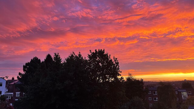
Abbey Dale, located in the picturesque region of Yorkshire, England, is a beautiful valley that offers breathtaking scenery and a rich history. Nestled between the cities of Sheffield and Chesterfield, Abbey Dale is renowned for its tranquil atmosphere and stunning natural landscapes.

The valley is named after the nearby Beauchief Abbey, a former Premonstratensian monastery that was founded in the 12th century. The abbey's ruins are still visible today and attract history enthusiasts from around the world. Abbey Dale is also home to a number of charming villages and hamlets, including Dore, Totley, and Bradway, which offer a mix of traditional architecture and modern amenities.

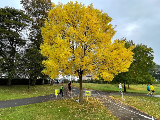
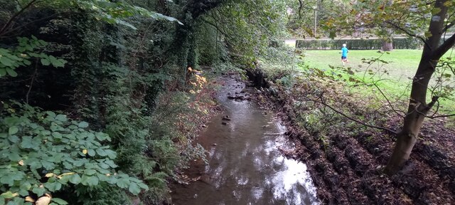
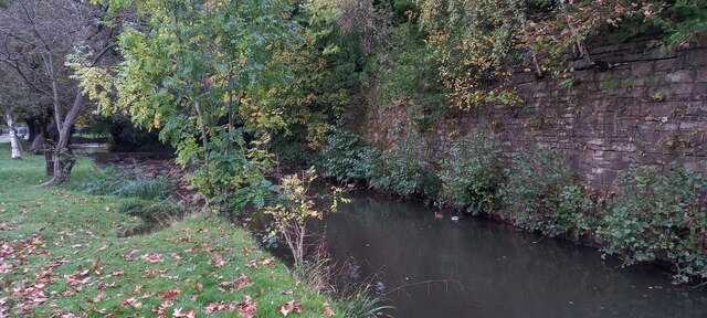
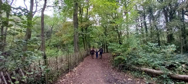
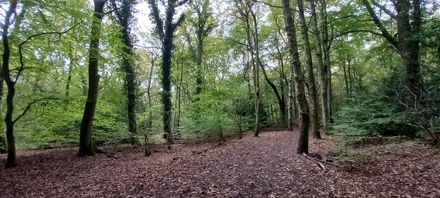
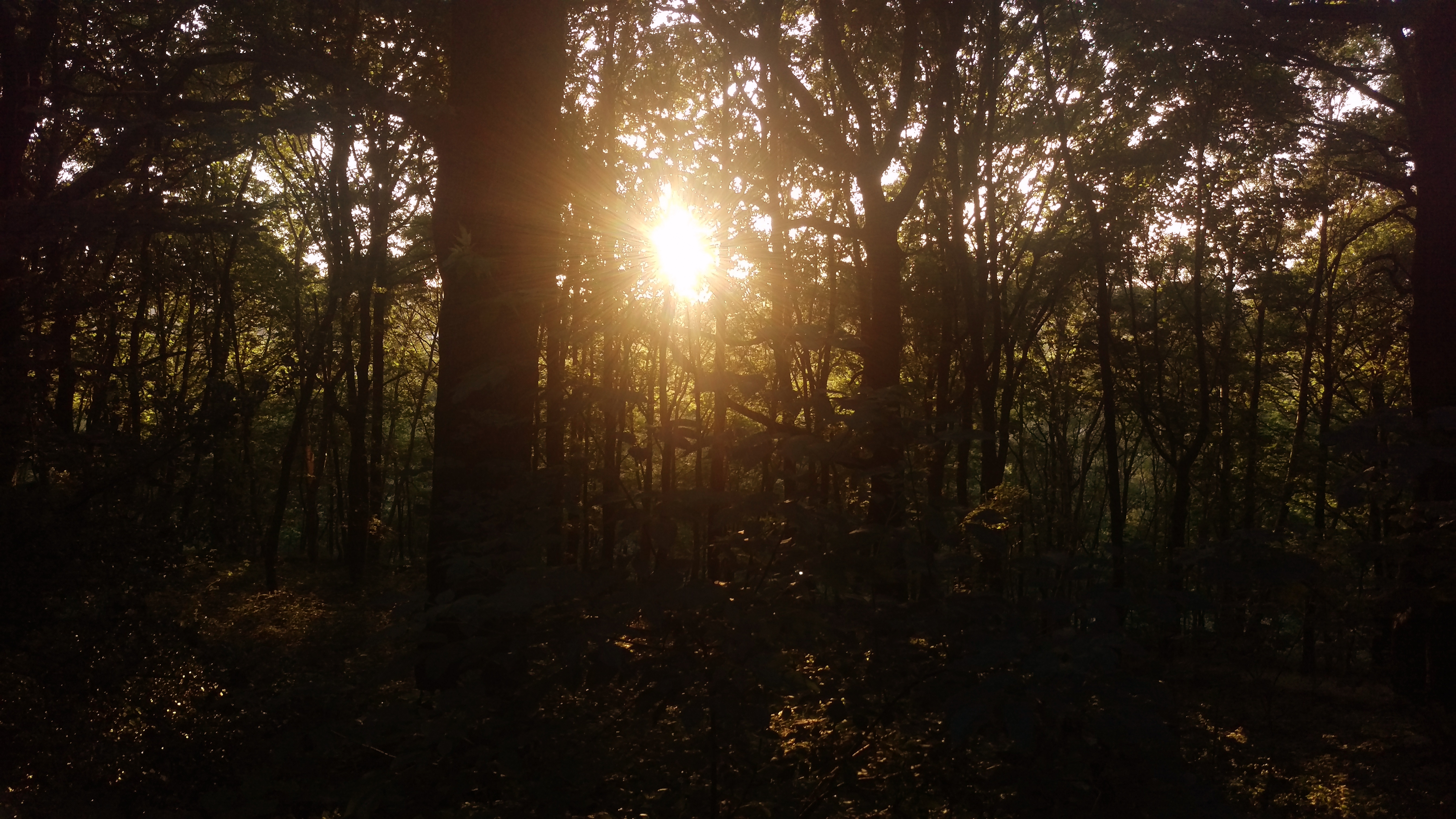
The valley is known for its diverse wildlife and abundant flora. It is a haven for nature lovers, with numerous walking trails and nature reserves that allow visitors to explore the area's natural beauty. The nearby Peak District National Park is a popular destination for outdoor activities such as hiking, cycling, and birdwatching.

Abbey Dale is well-connected to the surrounding areas, with good transport links and easy access to major roads. The valley is also served by several bus routes, making it convenient for both residents and visitors to explore the wider region.

In conclusion, Abbey Dale, Yorkshire, is a picturesque valley that offers a combination of stunning landscapes, a rich history, and a peaceful ambiance. Whether you are interested in exploring historical sites, enjoying the outdoors, or simply taking in the scenic beauty, Abbey Dale has something to offer for everyone.

If you have any feedback on the listing, please let us know in the comments section below.
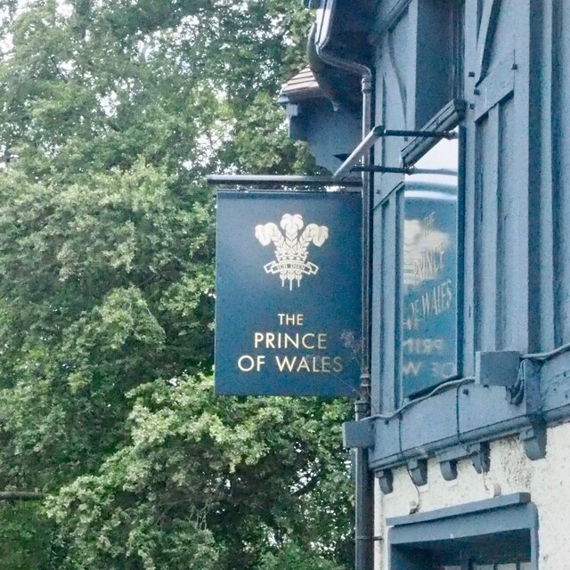
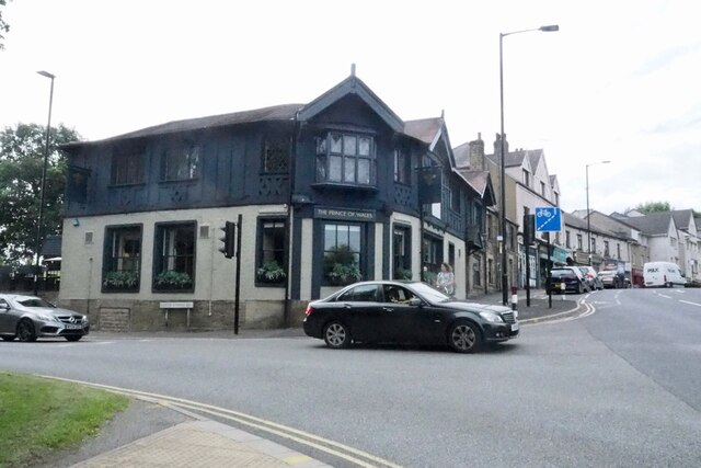
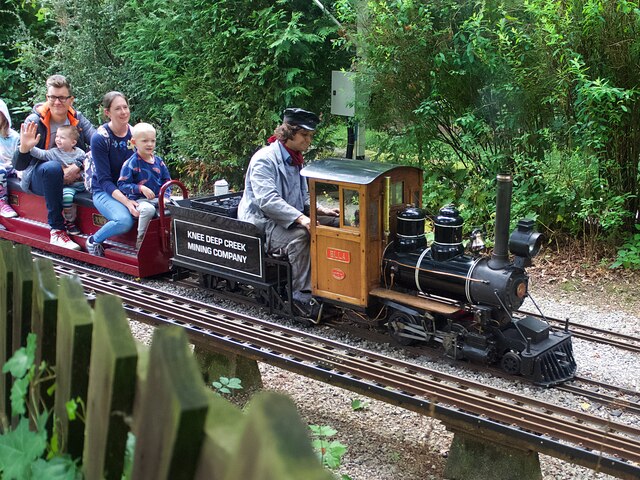
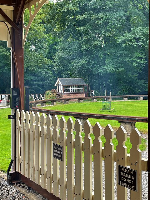
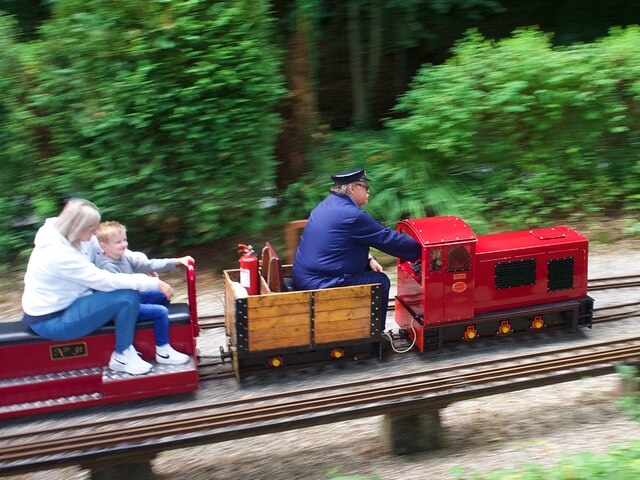
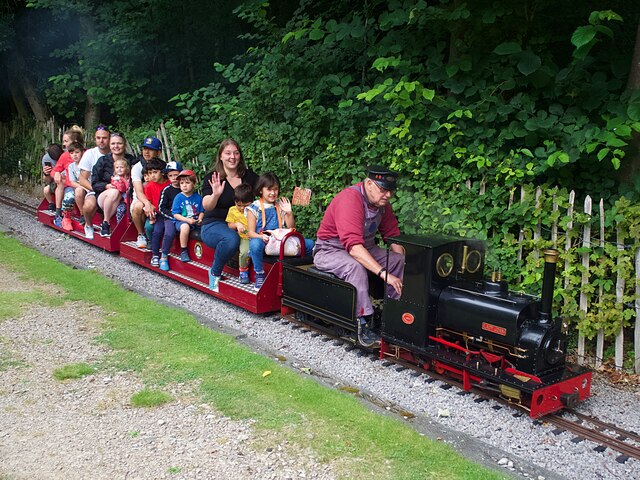
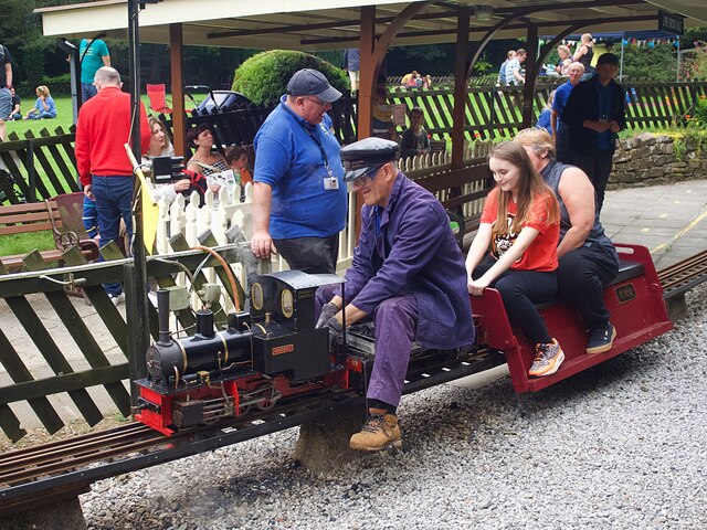
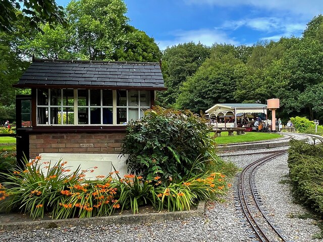
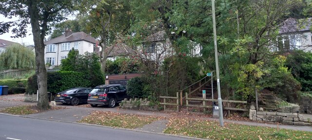
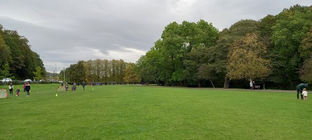
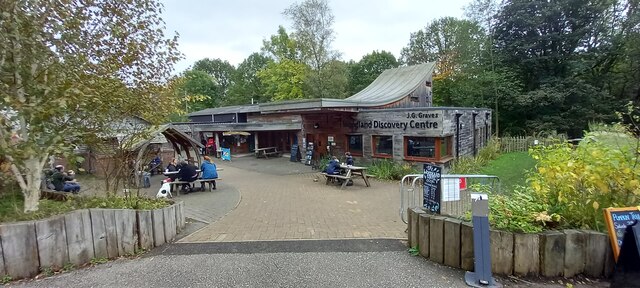
Abbey Dale Images

Images are sourced within 2km of 53.340711/-1.5020378 or Grid Reference SK3382. Thanks to Geograph Open Source API. All images are credited.

parkrun: it's good to be back parkrun returned to England on 24th July, 2021 after a gap of 16 months during the Covid-19 restrictions but the return was delayed until 31st July at Millhouses Park because of another event there the previous week. 

207 runners, joggers and walkers are here setting off on the first of three laps on this 5k route at Millhouses Park.
parkrun: it's good to be back
parkrun returned to England on 24th July, 2021 after a gap of 16 months during the Covid-19 restrictions but the return was delayed until 31st July at Millhouses Park because of another event there the previous week. 207 runners, joggers and walkers are here setting off on the first of three laps on this 5k route at Millhouses Park.
The sign of The Prince of Wales
The Prince of Wales
The Prince of Wales
Knee Deep Creek Mining Company locomotive 'Ella' Hauling passengers on one of the regular open days of the Sheffield & District Society of Model & Experimental Engineers at the Abbeydale Miniature Railway. 'Ella' was built in 1991 and is one of the society's oldest locos.
Knee Deep Creek Mining Company locomotive 'Ella'
Hauling passengers on one of the regular open days of the Sheffield & District Society of Model & Experimental Engineers at the Abbeydale Miniature Railway. 'Ella' was built in 1991 and is one of the society's oldest locos.
Abbeydale South signal box Viewed from the platform at Abbeydale Station on the Abbeydale Miniature Railway
Abbeydale South signal box
Viewed from the platform at Abbeydale Station on the Abbeydale Miniature Railway
Edward (a Red Engine) Hauling passengers on one of the regular open days of the Sheffield & District Society of Model & Experimental Engineers at the Abbeydale Miniature Railway.
Edward (a Red Engine)
Hauling passengers on one of the regular open days of the Sheffield & District Society of Model & Experimental Engineers at the Abbeydale Miniature Railway.
Lady Joan Hauling passengers on one of the regular open days of the Sheffield & District Society of Model & Experimental Engineers at the Abbeydale Miniature Railway.
Lady Joan
Hauling passengers on one of the regular open days of the Sheffield & District Society of Model & Experimental Engineers at the Abbeydale Miniature Railway.
Miniature locomotive 'Magnet' Hauling passengers on one of the regular open days of the Sheffield & District Society of Model & Experimental Engineers at the Abbeydale Miniature Railway.
Miniature locomotive 'Magnet'
Hauling passengers on one of the regular open days of the Sheffield & District Society of Model & Experimental Engineers at the Abbeydale Miniature Railway.
Abbeydale Miniature Railway
Autumn colour at Rosie's Corner On the course of Millhouses parkrun, the corner is named for the volunteer who is often stationed here to guide runners who on their third and final lap must turn sharp right to the finish line.
Autumn colour at Rosie's Corner
On the course of Millhouses parkrun, the corner is named for the volunteer who is often stationed here to guide runners who on their third and final lap must turn sharp right to the finish line.
Suburban sunrise Photographed leaning out of a bedroom window.
Suburban sunrise
Photographed leaning out of a bedroom window.
River Sheaf at Abbey Dale, Sheffield
River Sheaf, Millhouses Park, Beauchief, Sheffield
Footpath off Bocking Lane, Beauchief, Sheffield
Millhouses Park, Beauchief, Sheffield
Eccleshall Woods Visitor Centre
Footpath in Ecclesall Woods
Show me another place!

Abbey Dale is located at Grid Ref: SK3382 (Lat: 53.340711, Lng: -1.5020378)

Division: West Riding

Unitary Authority: Sheffield

Police Authority: South Yorkshire

What 3 Words

///causes.analogy.robe. Near Dronfield, Derbyshire

Nearby Locations

Abbey Dale Hutcliffe Wood

Related Wikis

Millhouses Park

Millhouses Park is a public urban park located in the Millhouses neighbourhood in south of Sheffield, England. It is a 12.87-hectare (31.8-acre) park stretching...

Hutcliffe Wood

Hutcliffe Wood and Marriott Wood are two areas of ancient woodland in Sheffield, South Yorkshire, England. They occupy the steep southeastern side of the...

Ecclesall Woods

Ecclesall Woods is an area of woodland in south-west Sheffield, South Yorkshire, England, between Abbeydale Road South and Ecclesall. It covers approximately...

Millhouses and Ecclesall railway station

Millhouses and Ecclesall railway station was a railway station in the Millhouses district of Sheffield, South Yorkshire, England. == History == It was...

Beauchief railway station

Beauchief railway station (pronounced Beechif) was in Sheffield, South Yorkshire, England. It was built by the Midland Railway in 1870 and was designed...

Beauchief Abbey

Beauchief Abbey is a medieval monastic house now serving as a parish church in the southern suburbs of Sheffield, England. == History == The abbey was...

Abbeydale Grange School

Abbeydale Grange School was a mixed comprehensive school in Sheffield, England, established in 1969 and closed after the 2009/10 academic year, after being...

Abbeydale Industrial Hamlet

Abbeydale Industrial Hamlet is an industrial museum in the south of the City of Sheffield, England. The museum forms part of a former steel-working site...

Nearby Amenities

Located within 500m of 53.340711,-1.5020378
Turning Circle
Source: Bing
Lat/Long: 53.3425364/-1.5068522
Turning Circle
Source: Bing
Lat/Long: 53.3418019/-1.5059222
Turning Circle
Endowood Road
Source: Bing
Lat/Long: 53.3411605/-1.5069941
Post Box
Collection Times: Mo-Fr 09:00; Sa 07:00
Post Box Type: lamp
Postal Code: S7
Ref: S7 524
Royal Cypher: EIIR
Royal Cypher Wikidata: Q33102113
Lat/Long: 53.3439005/-1.5008777
Telephone
Lat/Long: 53.3433743/-1.5019923
Turning Circle
Lat/Long: 53.3441517/-1.5012192
Post Box
Collection Times: Mo-Fr 09:00; Sa 07:00
Post Box Type: pillar
Postal Code: S7
Ref: S7 496
Royal Cypher: GR
Royal Cypher Wikidata: Q33102273
Lat/Long: 53.3438955/-1.5057282
Kindergarten
Croft Corner Nursery & Pre-School
Lat/Long: 53.3434735/-1.5064841
Turning Circle
Lat/Long: 53.3409047/-1.4974257
Post Box
Ref: S8 502
Lat/Long: 53.337382/-1.5018696
Bus Stop
Abbeydale Road South/Hartington Avenue
Alt Name: Abbeydale Road South/Hartington Avenue
Bench: yes
Bus: yes
Departures Board: timetable
Naptan AltCommonName: Abbeydale Road South/Hartington Avenue
Naptan AtcoCode: 370021547
Naptan Bearing: N
Naptan CommonName: Abbeydale Road South/Hartington Avenue
Naptan Indicator: 21547
Naptan Landmark: Opposite Park/Turning Cirlce/T
Naptan PlusbusZoneRef: ROTHCEN
Naptan Street: Abbeydale Road South
Naptan Verified: no
Public Transport: platform
Shelter: yes
Source: naptan_import
Lat/Long: 53.3434372/-1.5006966
Bus Stop
Dobcroft Road/Whirlowdale Road
Bench: no
Bin: no
Bus: yes
Covered: no
Departures Board: timetable
Lit: no
Naptan AtcoCode: 370021383
Naptan Bearing: SE
Naptan CommonName: Dobcroft Road/Whirlowdale Road
Naptan Indicator: 21383
Naptan Landmark: Electricity Sub Station
Naptan PlusbusZoneRef: ROTHCEN
Naptan Street: Dobcroft Road
Naptan Verified: no
Public Transport: platform
Shelter: no
Source: naptan_import
Tactile Paving: no
Lat/Long: 53.3434662/-1.5058161
Bus Stop
Abbeydale Road South/Dobcroft Avenue
Alt Name: Abbeydale Road South/Dobcroft Avenue
Bench: no
Bus: yes
Departures Board: timetable
Naptan AltCommonName: Abbeydale Road South/Dobcroft Avenue
Naptan AtcoCode: 370021455
Naptan Bearing: SW
Naptan CommonName: Abbeydale Road South/Dobcroft Avenue
Naptan Indicator: 21455
Naptan Landmark: Bowling Green
Naptan PlusbusZoneRef: ROTHCEN
Naptan Street: Abbeydale Road South
Naptan Verified: no
Public Transport: platform
Shelter: no
Source: naptan_import
Lat/Long: 53.3405646/-1.5034424
Bus Stop
Abbeydale Road South/Dobcroft Avenue
Alt Name: Abbeydale Road South/Dobcroft Avenue
Bench: yes
Bus: yes
Covered: no
Departures Board: timetable
Naptan AltCommonName: Abbeydale Road South/Dobcroft Avenue
Naptan AtcoCode: 370021456
Naptan Bearing: NE
Naptan CommonName: Abbeydale Road South/Dobcroft Avenue
Naptan Indicator: 21456
Naptan Landmark: OUTSIDE NO. 120
Naptan PlusbusZoneRef: ROTHCEN
Naptan Street: Abbeydale Road South
Naptan Verified: no
Public Transport: platform
Shelter: yes
Source: naptan_import
Lat/Long: 53.3409082/-1.5034815
Bus Stop
Hutcliffe Wood Road/Dale View Road
Alt Name: Hutcliffe Wood Road/Dale View Road
Bench: yes
Bus: yes
Naptan AltCommonName: Hutcliffe Wood Road/Dale View Road
Naptan AtcoCode: 370021468
Naptan Bearing: N
Naptan CommonName: Hutcliffe Wood Road/Dale View Road
Naptan Indicator: 21468
Naptan Landmark: 21468
Naptan PlusbusZoneRef: ROTHCEN
Naptan Street: Hutcliffe Wood Road
Naptan Verified: no
Public Transport: platform
Shelter: yes
Source: naptan_import
Tactile Paving: no
Lat/Long: 53.3392432/-1.4961599
Bus Stop
Hutcliffe Wood Road/Folds Lane
Bus: yes
Naptan AtcoCode: 370021469
Naptan Bearing: S
Naptan CommonName: Hutcliffe Wood Road/Folds Lane
Naptan Indicator: 21469
Naptan Landmark: 21469
Naptan PlusbusZoneRef: ROTHCEN
Naptan Street: Hutcliffe Wood Road
Naptan Verified: no
Public Transport: platform
Source: naptan_import
Lat/Long: 53.3400314/-1.4957846
Bus Stop
Abbeydale Road South/Pingle Road
Alt Name: Abbeydale Road South/Pingle Road
Bus: yes
Departures Board: timetable
Naptan AltCommonName: Abbeydale Road South/Pingle Road
Naptan AtcoCode: 370023161
Naptan Bearing: N
Naptan CommonName: Abbeydale Road South/Pingle Road
Naptan Indicator: 23161
Naptan Landmark: Harvester Pub
Naptan PlusbusZoneRef: ROTHCEN
Naptan Street: Abbeydale Road South
Naptan Verified: no
Public Transport: platform
Shelter: yes
Source: naptan_import
Lat/Long: 53.342406/-1.5016077
Bus Stop
Dobcroft Road/Abbeydale Road South
Bench: no
Bus: yes
Departures Board: timetable
Naptan AtcoCode: 370023842
Naptan Bearing: NW
Naptan CommonName: Dobcroft Road/Abbeydale Road South
Naptan Indicator: 23842
Naptan Landmark: 23842
Naptan PlusbusZoneRef: ROTHCEN
Naptan Street: Dobcroft Road
Naptan Verified: no
Public Transport: platform
Shelter: no
Source: naptan_import
Lat/Long: 53.3415507/-1.5034351
Bus Stop
Dobcroft Road/Abbeydale Road South
Bench: no
Bus: yes
Departures Board: timetable
Naptan AtcoCode: 370023843
Naptan Bearing: SE
Naptan CommonName: Dobcroft Road/Abbeydale Road South
Naptan Indicator: 23843
Naptan Landmark: 23843
Naptan PlusbusZoneRef: ROTHCEN
Naptan Street: Dobcroft Road
Naptan Verified: no
Public Transport: platform
Shelter: no
Source: naptan_import
Lat/Long: 53.3417755/-1.5034625
Turning Circle
Source: Bing
Lat/Long: 53.3430883/-1.5037356
Addr City: Sheffield
Lat/Long: 53.3420715/-1.5026831
Dobcroft Road/Whirlowdale Road
Bus: yes
Public Transport: stop_position
Lat/Long: 53.3434292/-1.5059884
Dobcroft Road/Abbeydale Road South
Bus: yes
Public Transport: stop_position
Lat/Long: 53.3415835/-1.5034052
Hutcliffe Wood Road/Folds Lane
Bus: yes
Public Transport: stop_position
Lat/Long: 53.3400526/-1.4958488
Hutcliffe Wood Road/Dale View Road
Bus: yes
Public Transport: stop_position
Lat/Long: 53.3392562/-1.4960804
Addr City: Sheffield
Lat/Long: 53.3436373/-1.507728
Turning Circle
Endowood Road
Source: Bing
Lat/Long: 53.3420052/-1.5080621
Abbeydale Road South/Pingle Road
Bus: yes
Public Transport: stop_position
Lat/Long: 53.3424585/-1.501726
Crossing
Crossing: traffic_signals
Tactile Paving: yes
Lat/Long: 53.3432188/-1.5006472
Crossing
Crossing: traffic_signals
Tactile Paving: yes
Lat/Long: 53.3432327/-1.5008757
Bench
Backrest: yes
Lat/Long: 53.3421067/-1.5015955
Bench
Backrest: yes
Lat/Long: 53.3414383/-1.5022125
Boat Rental
Fee: yes
Note: Summer only
Payment Cards: yes
Payment Cash: yes
Lat/Long: 53.3415173/-1.5014503
Bicycle Parking
Bicycle Parking: stands
Capacity: 6
Covered: no
Lat/Long: 53.3413046/-1.5022169
Parking
Access: customers
Fee: no
Lat/Long: 53.3433842/-1.5063194
Cafe
Millhouses Park Kiosk
Ice Cream: yes
Lat/Long: 53.3415709/-1.5014169
Ship Model Society
Club: model_boat
Lat/Long: 53.3415816/-1.5014658
Sensory Garden
Access: yes
Fee: no
Leisure: garden
Lat/Long: 53.3405828/-1.5024537
Defibrillator
Access: yes
Check Date: 2023-03-09
Defibrillator Location: wall outside cafe in code locked box
Emergency: defibrillator
Indoor: no
Lat/Long: 53.341801/-1.5020032
Abbeydale Road South/Dobcroft Avenue
Bus: yes
Public Transport: stop_position
Lat/Long: 53.3405708/-1.5034868
Abbeydale Road South/Dobcroft Avenue
Bus: yes
Public Transport: stop_position
Lat/Long: 53.340882/-1.5033689
Dobcroft Road/Abbeydale Road South
Bus: yes
Public Transport: stop_position
Lat/Long: 53.3417036/-1.5036219
Abbeydale Road South/Hartington Avenue
Bus: yes
Public Transport: stop_position
Lat/Long: 53.3434094/-1.5006385
Bench
Lat/Long: 53.3397073/-1.508642
Bench
Lat/Long: 53.3409737/-1.5093785
Bench
Lat/Long: 53.3393719/-1.5069041
Vending Machine
Vending: parking_tickets
Lat/Long: 53.3439242/-1.4981868
Bench
Backrest: yes
Lat/Long: 53.3415215/-1.5021055
Bench
Backrest: yes
Lat/Long: 53.3415657/-1.5020629
Covered: yes
Leisure: picnic_table
Lat/Long: 53.3415931/-1.5007574
Covered: no
Leisure: picnic_table
Lat/Long: 53.3416012/-1.5010925
Crossing
Crossing: unmarked
Crossing Island: no
Tactile Paving: yes
Lat/Long: 53.3429467/-1.5013641
Generator Source: solar
Location: roof
Power: generator
Lat/Long: 53.3384408/-1.4969831
Traffic Signals
Crossing: no
Lat/Long: 53.3432491/-1.5006101
Traffic Signals
Crossing: no
Lat/Long: 53.3432042/-1.5009152
Bench
Backrest: yes
Lat/Long: 53.3416236/-1.5020514
Bench
Backrest: yes
Lat/Long: 53.3416703/-1.5020595
Bench
Backrest: yes
Lat/Long: 53.3416565/-1.5020195
Bench
Backrest: yes
Lat/Long: 53.3416418/-1.5019806
Bench
Backrest: yes
Lat/Long: 53.3416848/-1.501991
Bench
Backrest: yes
Lat/Long: 53.341671/-1.5019502
Bench
Backrest: yes
Lat/Long: 53.3417103/-1.5019613
Bench
Backrest: yes
Lat/Long: 53.3416983/-1.5019236
Grit Bin
Operator: Sheffield City Council
Operator Type: government
Operator Wikidata: Q7492609
Seasonal: no
Lat/Long: 53.3431999/-1.5019179
Grit Bin
Operator: Sheffield City Council
Operator Type: government
Operator Wikidata: Q7492609
Seasonal: no
Lat/Long: 53.3375031/-1.5023897
Grit Bin
Operator: Sheffield City Council
Operator Type: government
Operator Wikidata: Q7492609
Seasonal: no
Lat/Long: 53.3434495/-1.5014043
Grit Bin
Operator: Sheffield City Council
Operator Type: government
Operator Wikidata: Q7492609
Seasonal: no
Lat/Long: 53.3436993/-1.5009658
Grit Bin
Operator: Sheffield City Council
Operator Type: government
Operator Wikidata: Q7492609
Seasonal: no
Lat/Long: 53.3447627/-1.5037772
Grit Bin
Operator: Sheffield City Council
Operator Type: government
Operator Wikidata: Q7492609
Seasonal: no
Lat/Long: 53.3413558/-1.4972834
Grit Bin
Operator: Sheffield City Council
Operator Type: government
Operator Wikidata: Q7492609
Seasonal: no
Lat/Long: 53.3363306/-1.5014422
Grit Bin
Operator: Sheffield City Council
Operator Type: government
Operator Wikidata: Q7492609
Seasonal: no
Lat/Long: 53.340602/-1.5040207
Grit Bin
Operator: Sheffield City Council
Operator Type: government
Operator Wikidata: Q7492609
Seasonal: no
Lat/Long: 53.3374851/-1.5002423
St Johns Wort
Tourism: viewpoint
Lat/Long: 53.3401087/-1.4992159
Vending Machine
Vending: parking_tickets
Lat/Long: 53.3444428/-1.4981369
The data included in this document is from www.openstreetmap.org. The data is made available under ODbL.

Have you been to Abbey Dale?

Leave your review of Abbey Dale below (or comments, questions and feedback).