Upper Slades
Valley in Derbyshire Amber Valley
England
Upper Slades
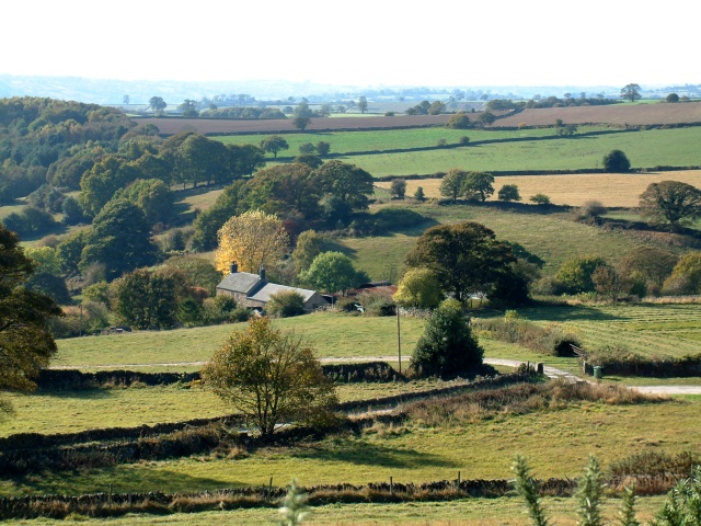
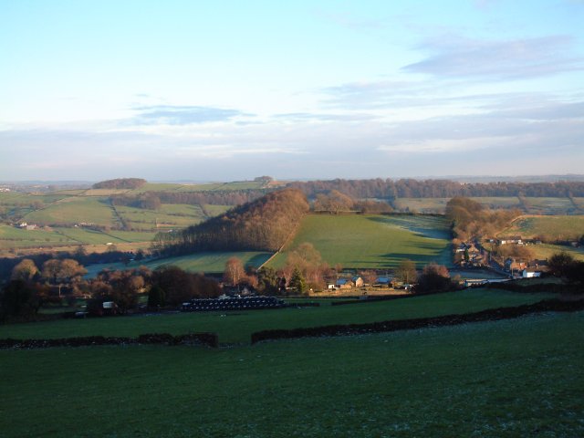
Upper Slades is a picturesque valley located in the Derbyshire region of England. Nestled amidst the rolling hills of the Peak District, this rural settlement offers a tranquil and idyllic retreat for nature enthusiasts and hikers alike.
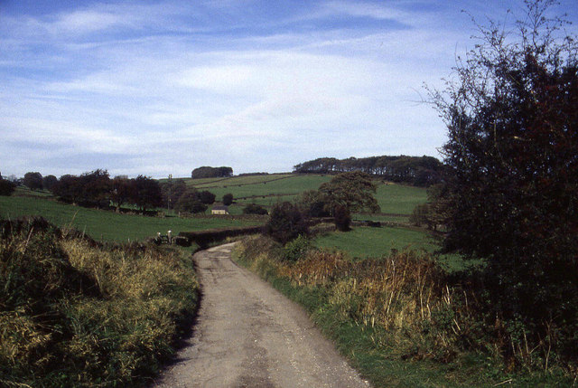
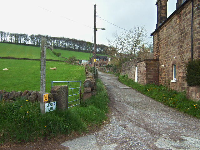
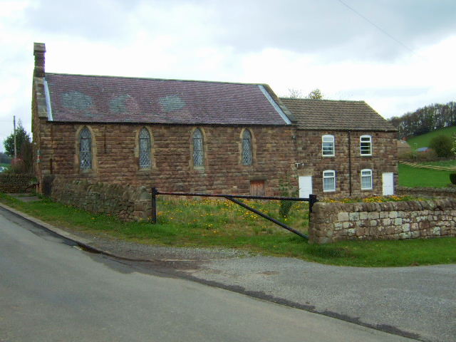
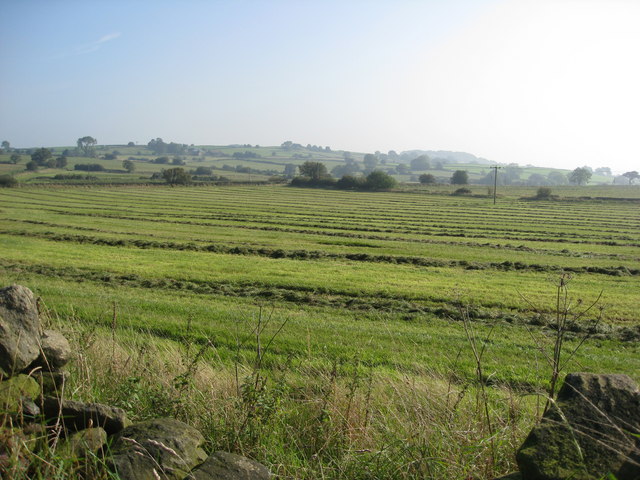
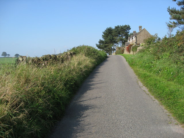
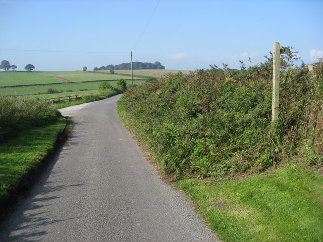
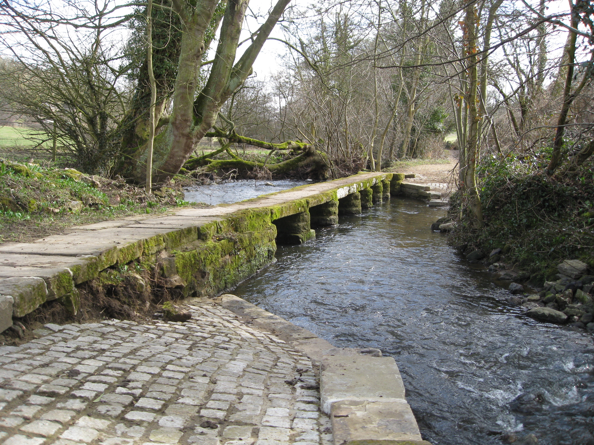
The valley is characterized by its lush green meadows, meandering streams, and dense woodlands, creating a rich and diverse ecosystem. The landscape is dotted with traditional stone-built farmhouses and cottages, which add to the area's rustic charm and authenticity.
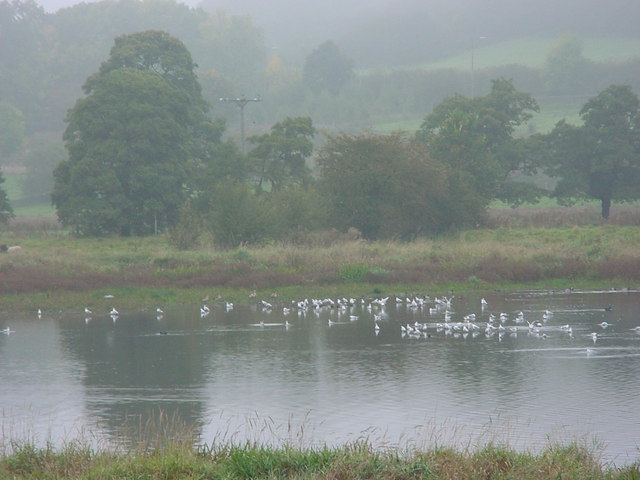
Upper Slades is a haven for wildlife, with an abundance of native flora and fauna. Visitors can spot a variety of bird species, including buzzards, kestrels, and the occasional rare peregrine falcon. The surrounding woodlands are home to elusive mammals such as badgers, foxes, and deer.
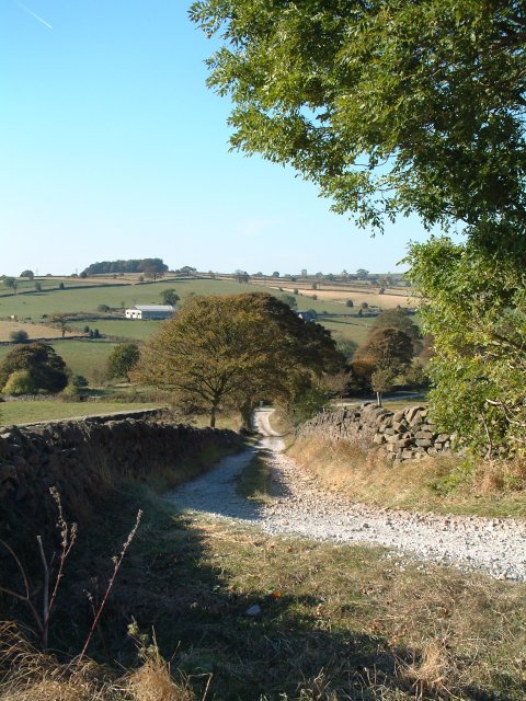
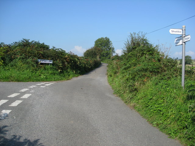
The valley offers numerous walking trails and hiking routes, catering to all levels of experience. The popular Slades Loop trail takes visitors on a scenic journey around the valley, offering panoramic views of the surrounding countryside. The nearby Slades Reservoir provides a peaceful spot for fishing and picnicking, with its calm waters reflecting the beauty of the landscape.
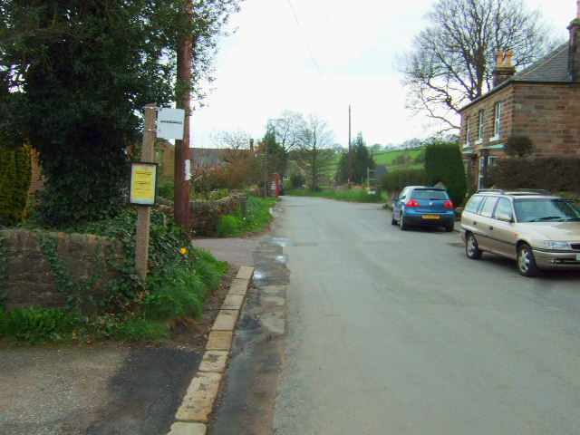
The village of Upper Slades itself is small but charming, with a close-knit community that prides itself on preserving the area's natural beauty. Despite its rural nature, the valley is well-connected to larger towns and cities, making it an ideal destination for those seeking a peaceful retreat without sacrificing convenience.
Overall, Upper Slades, Derbyshire is a hidden gem within the Peak District, offering a slice of unspoiled countryside beauty and a sanctuary for nature lovers.
If you have any feedback on the listing, please let us know in the comments section below.
Upper Slades Images
Images are sourced within 2km of 53.051392/-1.5064665 or Grid Reference SK3350. Thanks to Geograph Open Source API. All images are credited.


Upper Slades is located at Grid Ref: SK3350 (Lat: 53.051392, Lng: -1.5064665)
Administrative County: Derbyshire
District: Amber Valley
Police Authority: Derbyshire
What 3 Words
///quietest.grace.spoken. Near Belper, Derbyshire
Nearby Locations
Related Wikis

Belper Lane End
Belper Lane End is a village in the civil parish of Belper, in the Amber Valley district, in the county of Derbyshire, England. == History == Belper lane...

Shining Cliff Woods, Derbyshire
Shining Cliff Woods are on the west bank of the River Derwent near to Ambergate in Derbyshire, England. In medieval times "Schymynde-cliffe" was one of...
River Amber
The River Amber is a left bank tributary of the River Derwent in Derbyshire, England. It gives its name to the local government district and borough of...
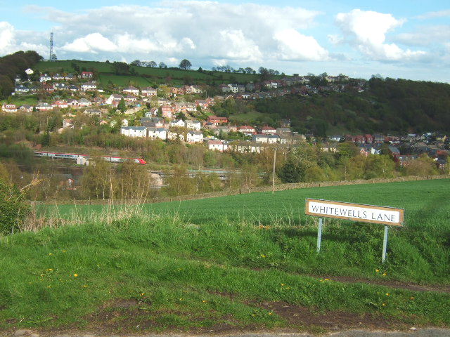
Ambergate
Ambergate () is a village in Derbyshire, England, situated where the River Amber joins the River Derwent, and where the A610 road from Ripley and Nottingham...

Oakhurst House
Oakhurst House is a derelict building in Shining Cliff Woods above the village of Ambergate in Derbyshire. The house was built in 1848 by Francis Hurt...
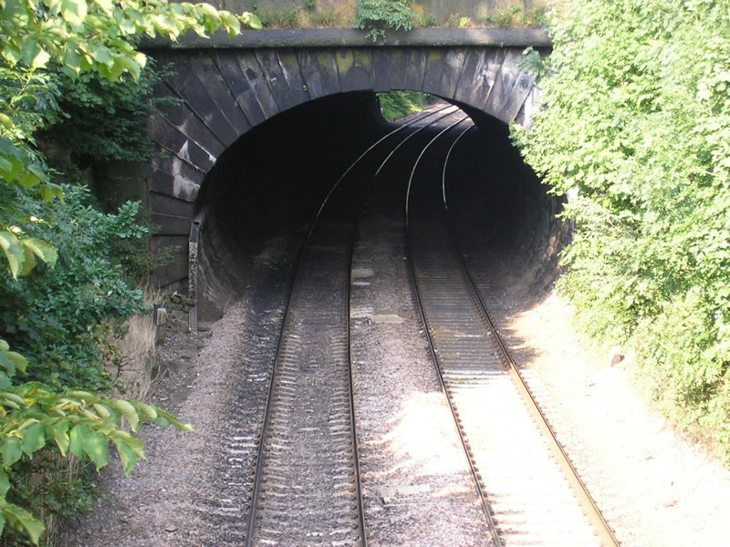
Toadmoor Tunnel
Toadmoor Tunnel (originally called Hag Wood Tunnel) was built at Ambergate as part of the North Midland Railway, which opened in 1840.128 yards long, it...

Great British Car Journey
The Great British Car Journey is a car museum in Ambergate, Derbyshire, England. It opened on 22 May 2021. The museum's exhibits consist of over 130 cars...

Ambergate railway station
Ambergate railway station is a railway station owned by Network Rail and managed by East Midlands Railway. It serves the village of Ambergate in Derbyshire...
Nearby Amenities
Located within 500m of 53.051392,-1.5064665Have you been to Upper Slades?
Leave your review of Upper Slades below (or comments, questions and feedback).