Compton Bottom
Valley in Berkshire Vale of White Horse
England
Compton Bottom
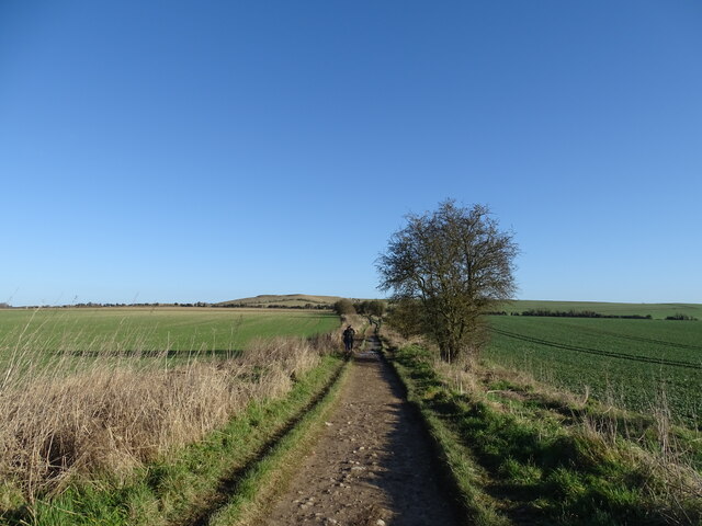
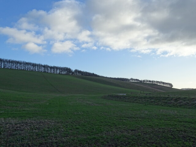
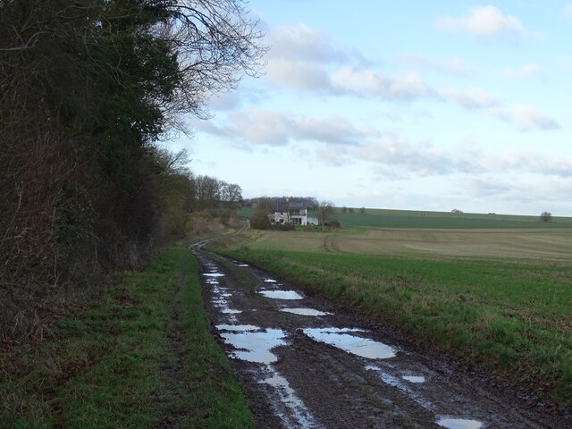
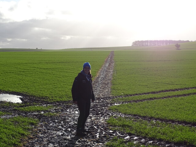
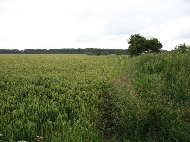
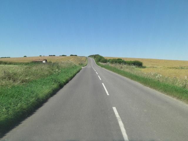
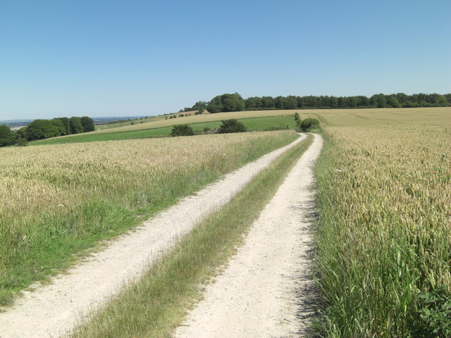
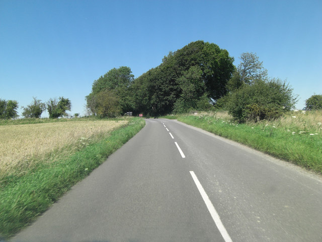
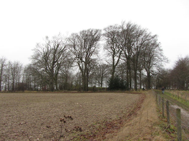
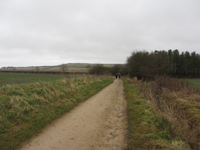
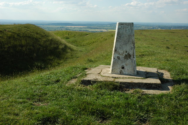
Compton Bottom, Berkshire, is a picturesque valley located in the southern part of England. Situated in the county of Berkshire, it is known for its stunning natural beauty and tranquil atmosphere. The valley is nestled between rolling hills and is surrounded by lush greenery, making it an ideal destination for nature lovers and outdoor enthusiasts.
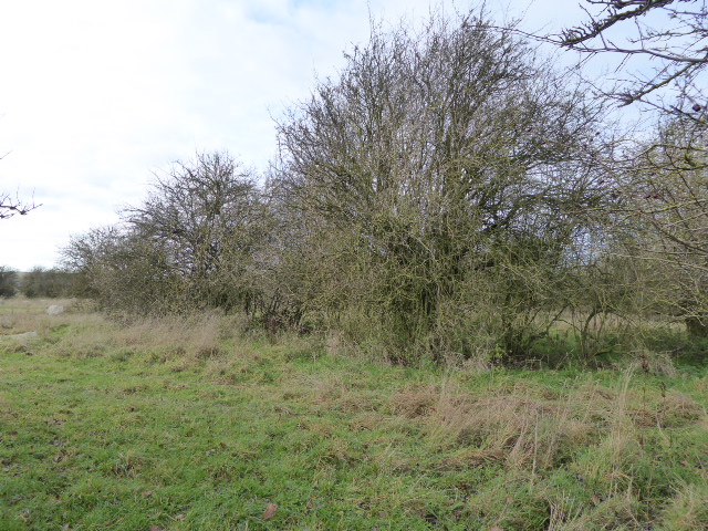
Compton Bottom is renowned for its diverse wildlife, with various species of birds, mammals, and insects calling the valley their home. The area is a haven for birdwatchers, as it attracts a wide range of avian species throughout the year. The valley's meandering river adds to its charm, providing a serene backdrop for visitors to enjoy leisurely walks or picnics along its banks.
The valley is also home to several walking trails, allowing visitors to explore its scenic surroundings. These trails offer panoramic views of the Berkshire countryside and showcase the region's natural splendor. Compton Bottom is a popular spot for hiking, with its undulating terrain providing a challenge for avid trekkers.
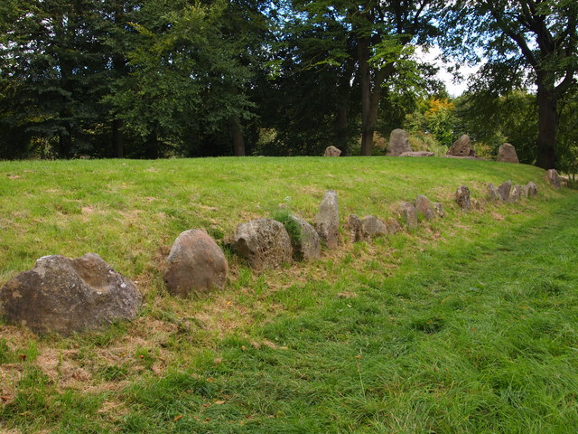
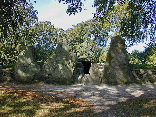
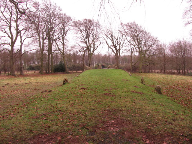
In addition to its natural beauty, Compton Bottom boasts a rich historical heritage. The valley is dotted with remnants of ancient settlements, including burial mounds and archaeological sites. These historical landmarks offer a glimpse into the valley's past and provide a fascinating insight into the lives of its early inhabitants.
Overall, Compton Bottom is a hidden gem in Berkshire, offering a tranquil retreat from the bustling city life. Its breathtaking landscapes, diverse wildlife, and historical significance make it a must-visit destination for nature enthusiasts and history buffs alike.
If you have any feedback on the listing, please let us know in the comments section below.
Compton Bottom Images
Images are sourced within 2km of 51.55454/-1.5826537 or Grid Reference SU2984. Thanks to Geograph Open Source API. All images are credited.


Compton Bottom is located at Grid Ref: SU2984 (Lat: 51.55454, Lng: -1.5826537)
Administrative County: Oxfordshire
District: Vale of White Horse
Police Authority: Thames Valley
What 3 Words
///himself.accompany.spaces. Near Bishopstone, Wiltshire
Nearby Locations
Related Wikis
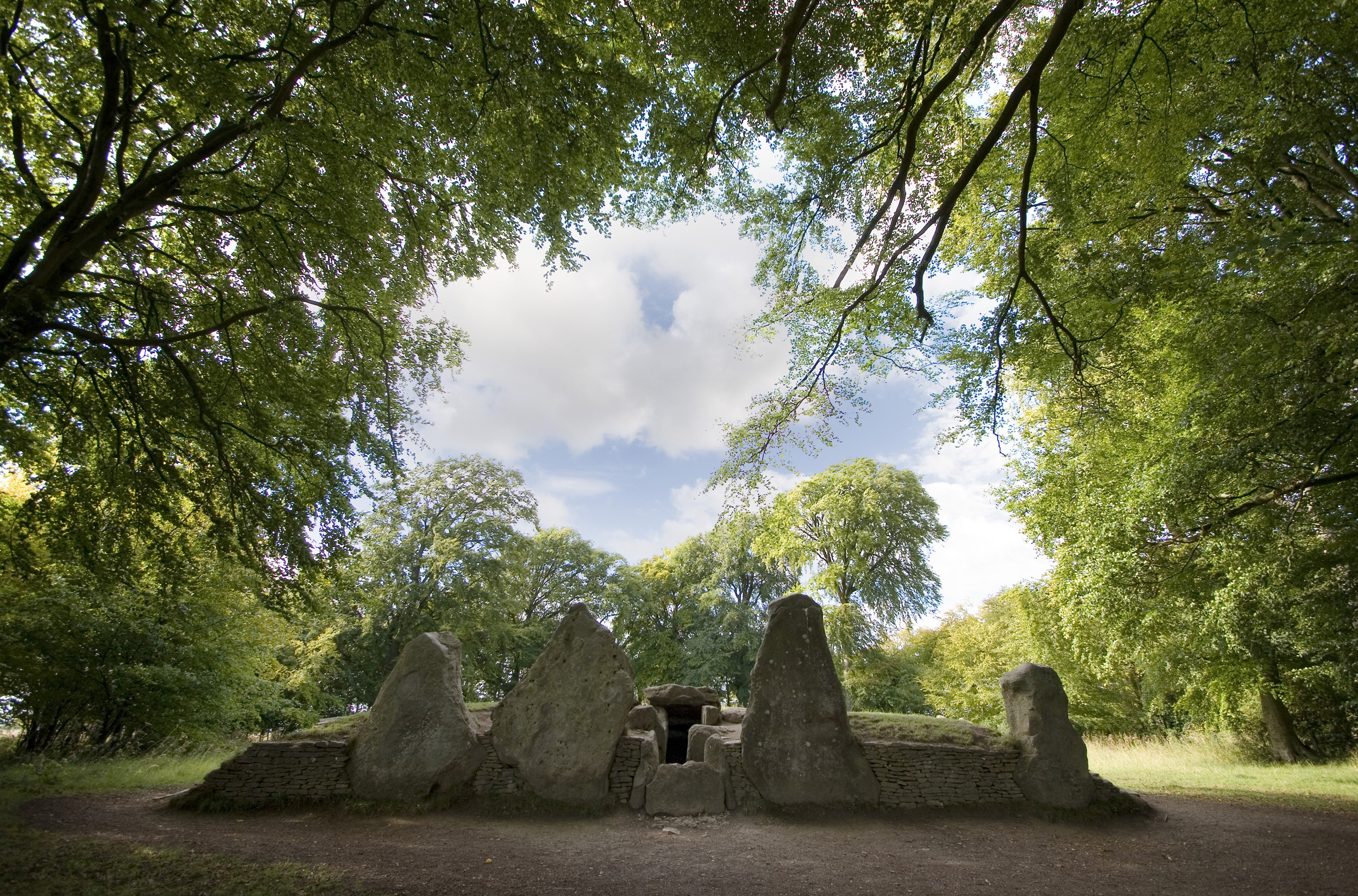
Wayland's Smithy
Wayland's Smithy is an Early Neolithic chambered long barrow located near the village of Ashbury in the south-central English county of Oxfordshire. The...
Park Farm Down
Park Farm Down or Parkfarm Down is a 3.3-hectare (8.2-acre) biological Site of Special Scientific Interest north-west of Lambourn in Berkshire. It is in...

Ashdown Park
Ashdown Park is a 9.3-hectare (23-acre) biological Site of Special Scientific Interest (SSSI) south of Ashbury in Oxfordshire. The SSSI is part of the...

Ashdown House, Oxfordshire
Ashdown House (also known as Ashdown Park) is a 17th-century country house in the civil parish of Ashbury in the English county of Oxfordshire. Until 1974...

Alfred's Castle
Alfred's Castle is a small Iron Age hill fort, situated at grid reference SU277822, behind Ashdown Park in the civil parish of Ashbury in Oxfordshire...
Berkshire Downs
The Berkshire Downs are a range of chalk downland hills in southern England, part of the North Wessex Downs Area of Outstanding Natural Beauty. The Berkshire...
Uffington Castle
Uffington Castle is an early Iron Age (with underlying Bronze Age) univallate hillfort in Oxfordshire, England. It covers about 32,000 square metres and...

Hardwell Castle
Hardwell Castle or Hardwell Camp is an Iron Age valley fort in the civil parish of Compton Beauchamp in Oxfordshire (previously Berkshire). == Site... ==
Have you been to Compton Bottom?
Leave your review of Compton Bottom below (or comments, questions and feedback).