Friar's Bottom
Valley in Oxfordshire West Oxfordshire
England
Friar's Bottom

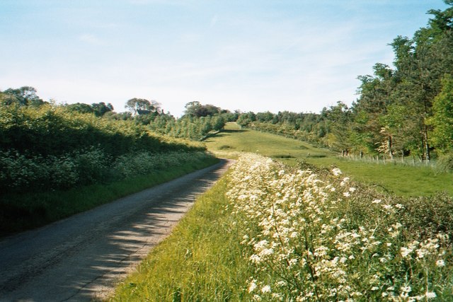
Friar's Bottom is a picturesque valley located in Oxfordshire, England. Situated in the heart of the Chiltern Hills, it offers a tranquil and serene environment for residents and visitors alike. The valley is named after a small stream, the Friar's Brook, which runs through it, and is surrounded by lush green meadows and rolling hills, creating a stunning natural landscape.
The area is known for its rich biodiversity, with an abundance of flora and fauna. The valley's fertile soil supports a varied ecosystem, attracting a wide range of wildlife, including rare species of birds, mammals, and insects. It is a popular destination for nature enthusiasts and birdwatchers, who can often spot species such as kingfishers, buzzards, and red kites soaring above the valley.
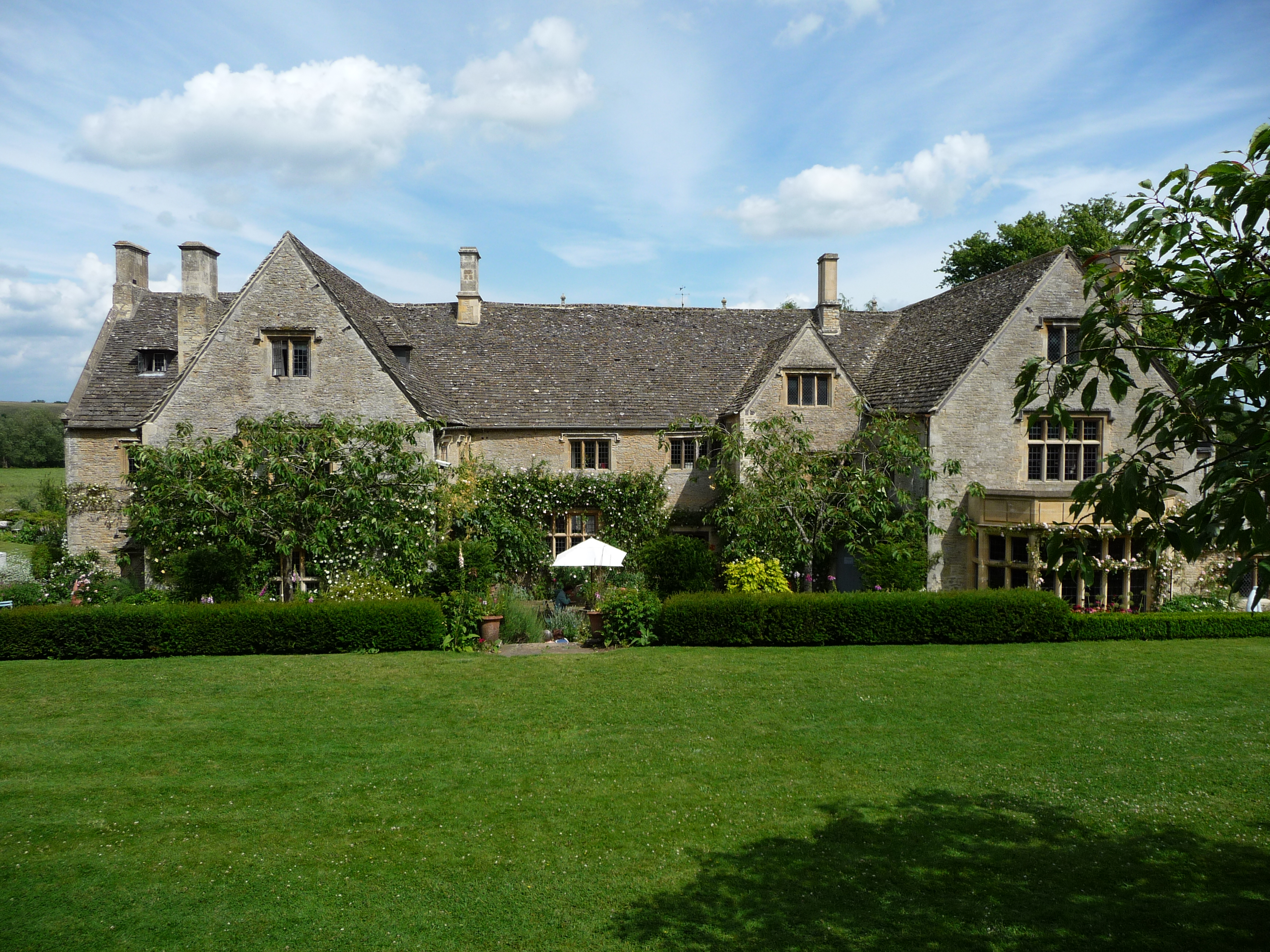
In addition to its natural beauty, Friar's Bottom also boasts a rich cultural heritage. The valley is home to several historic buildings, including Friar's Bottom House, a Grade II listed manor house dating back to the 17th century. The house is a fine example of Jacobean architecture and is often admired for its intricate detailing and well-preserved original features.
The valley offers numerous recreational opportunities for outdoor enthusiasts. There are several walking trails and footpaths that wind through the valley, providing breathtaking views of the surrounding countryside. Additionally, the Friar's Bottom stream offers opportunities for fishing and picnicking along its banks.
Overall, Friar's Bottom in Oxfordshire is a hidden gem, combining natural beauty, diverse wildlife, and a rich history. It is a destination that appeals to those seeking tranquility, outdoor activities, and an appreciation for the wonders of the natural world.
If you have any feedback on the listing, please let us know in the comments section below.
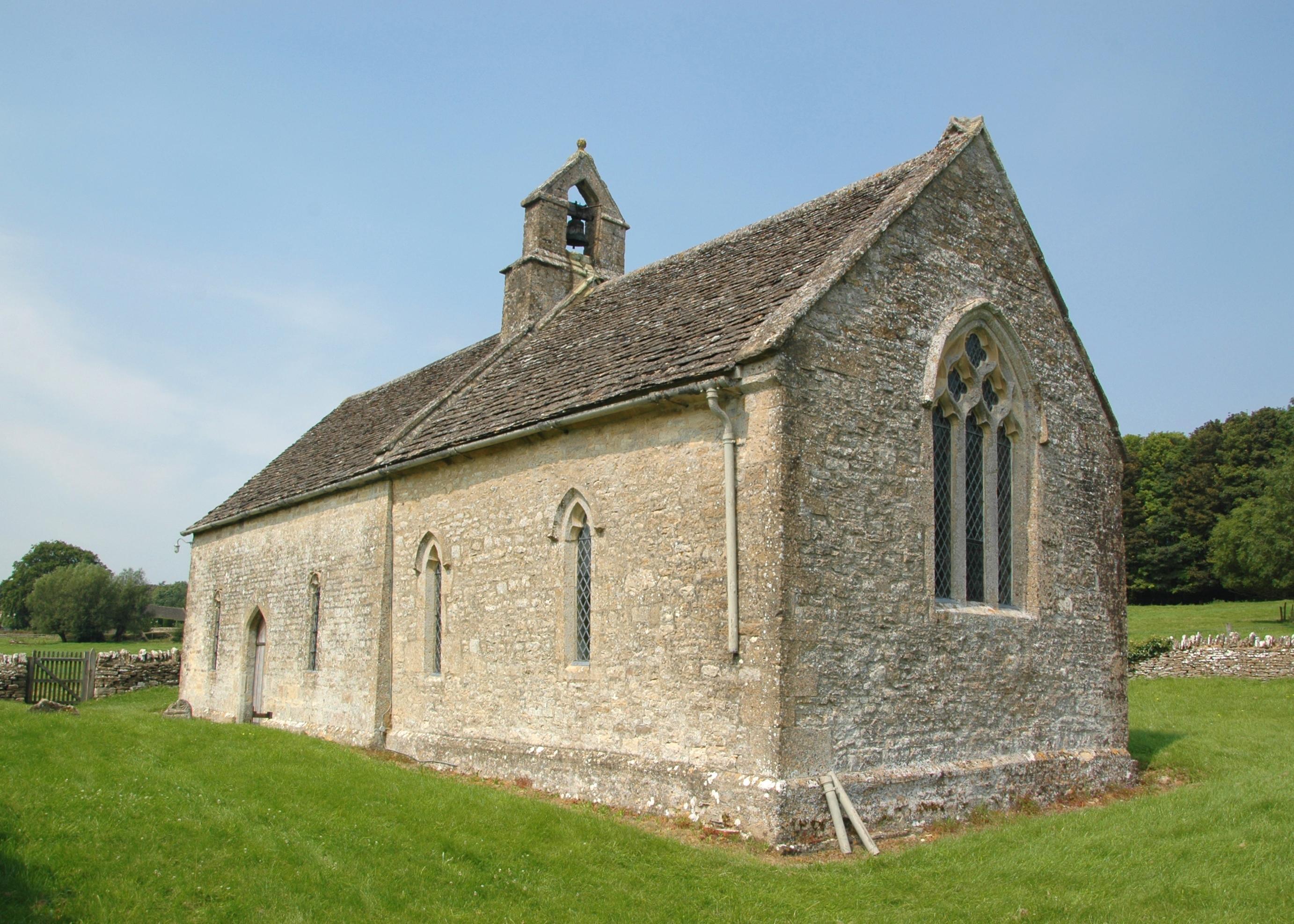
Friar's Bottom Images
Images are sourced within 2km of 51.826977/-1.5809549 or Grid Reference SP2814. Thanks to Geograph Open Source API. All images are credited.


Friar's Bottom is located at Grid Ref: SP2814 (Lat: 51.826977, Lng: -1.5809549)
Administrative County: Oxfordshire
District: West Oxfordshire
Police Authority: Thames Valley
What 3 Words
///loser.nosedive.ambushes. Near Shipton under Wychwood, Oxfordshire
Nearby Locations
Related Wikis
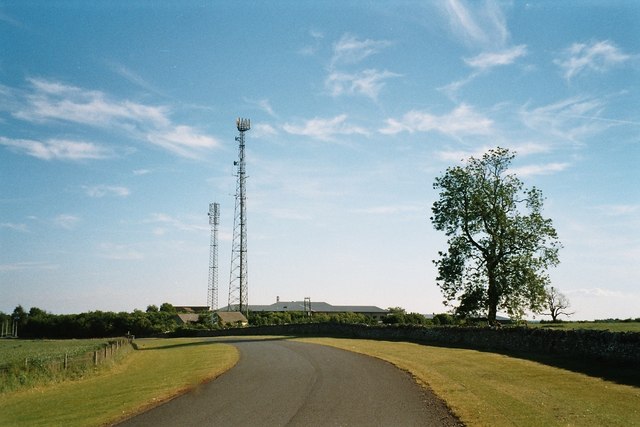
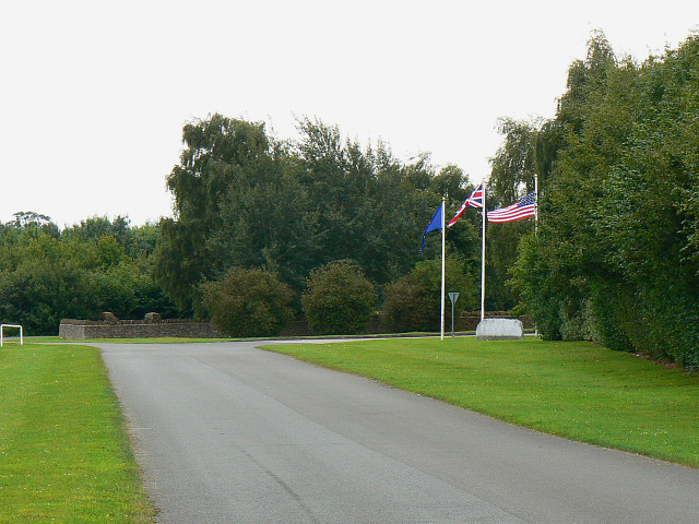
Leafield Technical Centre
Leafield Technical Centre is a former radio transmission station, now turned motorsports centre of excellence, located in the hamlet of Langley, in the...

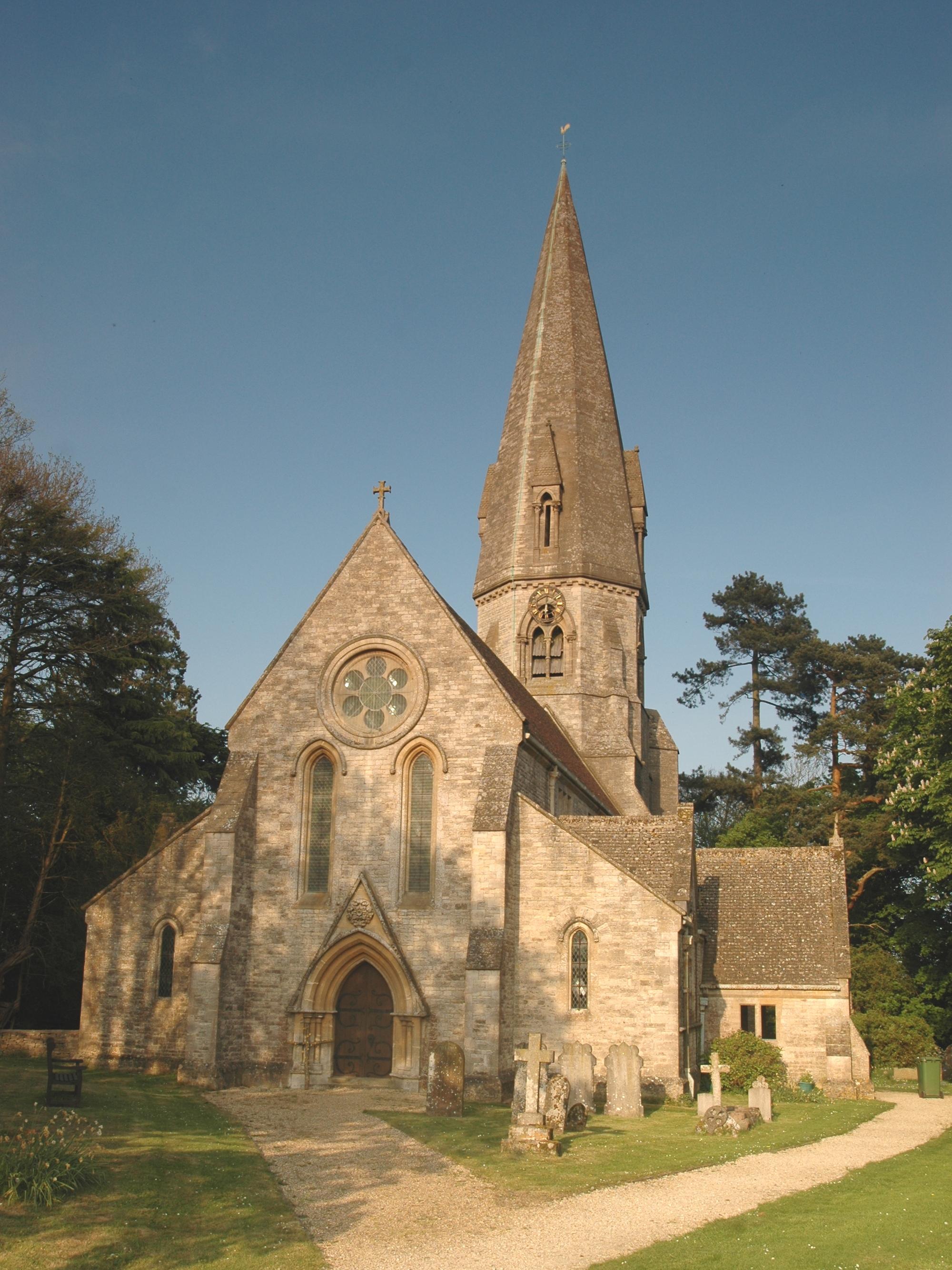
Swinbrook
Swinbrook is a village and former civil parish, now in the parish of Swinbrook and Widford, in the West Oxfordshire district, in the county of Oxfordshire...
Swinbrook and Widford
Swinbrook and Widford is a civil parish in West Oxfordshire district, in the county of Oxfordshire, England. It comprises the village of Swinbrook and...
Leafield
Leafield is a village and civil parish about 4 miles (6.4 km) northwest of Witney in West Oxfordshire. The parish includes the hamlet of Langley, 1 mile...

Leafield Castle
Leafield Castle (also known as Leafield Barrow) is a motte castle in the village of Leafield in the north west region of Oxfordshire. All that is left...
Widford, Oxfordshire
Widford is a deserted medieval village on the River Windrush about 1.5 miles (2.4 km) east of Burford in West Oxfordshire. The village was an exclave of...
Asthall Manor
Asthall Manor is a gabled Jacobean Cotswold manor house in Asthall, Oxfordshire. It was built in about 1620 and altered and enlarged in about 1916. The...

Asthall
Asthall or Asthal is a village and civil parish on the River Windrush in Oxfordshire, about 6 miles (10 km) west of Witney. It includes the hamlets of...
Nearby Amenities
Located within 500m of 51.826977,-1.5809549Have you been to Friar's Bottom?
Leave your review of Friar's Bottom below (or comments, questions and feedback).