Rushy Bottom

Valley in Oxfordshire West Oxfordshire

England

Rushy Bottom

A436 at Cornwell Holt The junction can be seen at <a title="https://www.geograph.org.uk/search.php?i=58157253" href="https://www.geograph.org.uk/search.php?i=58157253">Link</a>. Taken from the end of the lane from Chastleton.
A436 at Cornwell Holt Credit: Derek Harper

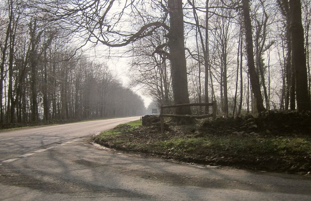
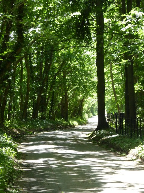
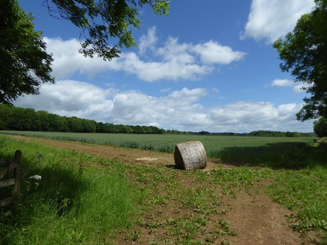
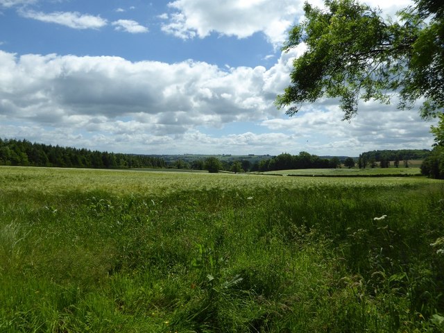
Rushy Bottom is a picturesque valley located in the county of Oxfordshire, England. Nestled amidst the rolling hills and lush countryside, this idyllic rural area offers a tranquil retreat for nature enthusiasts and those seeking a peaceful getaway.

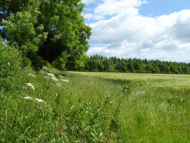
Covering an area of approximately 5 square miles, Rushy Bottom is characterized by its beautiful landscape, featuring verdant meadows, dense woodlands, and meandering streams. The valley is home to a diverse array of flora and fauna, creating a haven for wildlife and attracting birdwatchers and nature photographers.

The valley's name, Rushy Bottom, is derived from the abundance of rushes that grow along the banks of the streams. These rushes provide a natural habitat for various species of waterfowl and contribute to the unique ecosystem of the area.

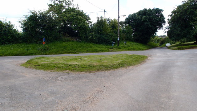
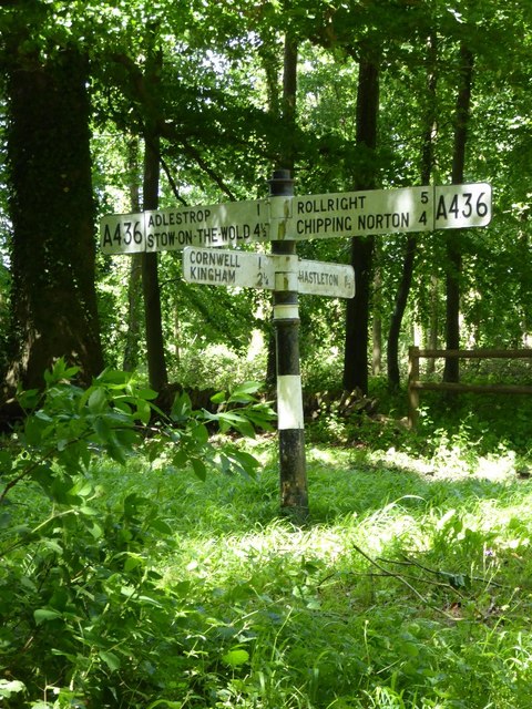
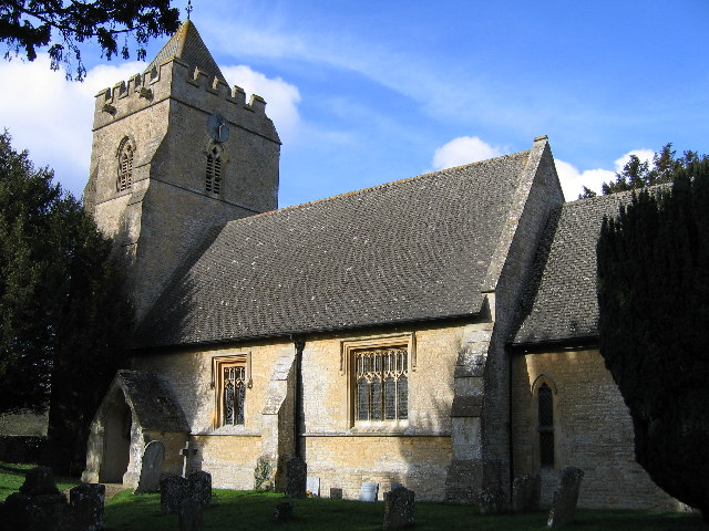
In addition to its natural beauty, Rushy Bottom boasts a rich historical heritage. The valley is dotted with charming villages and historic landmarks, including centuries-old churches and manor houses. Visitors can explore the local heritage by taking leisurely walks along the numerous footpaths and bridleways that crisscross the valley.

For outdoor enthusiasts, Rushy Bottom offers ample opportunities for activities such as hiking, cycling, and horseback riding. The valley's extensive network of trails allows visitors to immerse themselves in the stunning scenery while enjoying the fresh air and peaceful ambiance.

Overall, Rushy Bottom in Oxfordshire presents a captivating blend of natural beauty, rich history, and recreational opportunities, making it a must-visit destination for those seeking a peaceful and scenic countryside experience.

If you have any feedback on the listing, please let us know in the comments section below.

Rushy Bottom Images

Images are sourced within 2km of 51.952404/-1.6055715 or Grid Reference SP2728. Thanks to Geograph Open Source API. All images are credited.

A436 at Cornwell Holt The junction can be seen at <a title="https://www.geograph.org.uk/search.php?i=58157253" href="https://www.geograph.org.uk/search.php?i=58157253">Link</a>. Taken from the end of the lane from Chastleton.
A436 at Cornwell Holt
The junction can be seen at Link. Taken from the end of the lane from Chastleton.
Path heading to Twin Brook Farm Green lane path from Salford heading to Twin Brook Farm
Path heading to Twin Brook Farm
Green lane path from Salford heading to Twin Brook Farm
The Greedy Goose near Chastleton
Road junction and grass triangle Road feature in Salford.
Road junction and grass triangle
Road feature in Salford.
Signpost on the A436 A traditional signpost on a crossroads on the A436 near Cornwell.
Signpost on the A436
A traditional signpost on a crossroads on the A436 near Cornwell.
Road to Cornwell A shady tree shrouded country road from the A436 to Cornwell.
Road to Cornwell
A shady tree shrouded country road from the A436 to Cornwell.
A straw bale in a field entrance An old straw bale from last years crop in a field entrance near Cornwell.
A straw bale in a field entrance
An old straw bale from last years crop in a field entrance near Cornwell.
A barley field near Cornwell Early June and the countryside is an abundance of green.
A barley field near Cornwell
Early June and the countryside is an abundance of green.
Cow parsley in a field headland Cow parsley in the headland of a barley field.
Cow parsley in a field headland
Cow parsley in the headland of a barley field.
Cow parsley and arable land Cow parsley in the headland of an arable field near Cornwell.
Cow parsley and arable land
Cow parsley in the headland of an arable field near Cornwell.
Footpath to Cornwell A footpath follows this field headland to Cornwell.
Footpath to Cornwell
A footpath follows this field headland to Cornwell.
Ash tree in the hedgerow If the disease ash deadback becomes widespread an ash tree such as this one near Cornwell may become a rare sight.
Ash tree in the hedgerow
If the disease ash deadback becomes widespread an ash tree such as this one near Cornwell may become a rare sight.
Chastleton: Adlestron Hill Taken on the day of the 2017 General Election. Robert Courts won the 2016 by-election, when David Cameron resigned. His majority over Laetisia Carter, the Labour candidate was 21,241.
Chastleton: Adlestron Hill
Taken on the day of the 2017 General Election. Robert Courts won the 2016 by-election, when David Cameron resigned. His majority over Laetisia Carter, the Labour candidate was 21,241.
Chastleton: Looking towards Cowley's Copse
Field with a crop near Swailsford Bridge The crop is too far away to identify but I am guessing it is a beet.
Field with a crop near Swailsford Bridge
The crop is too far away to identify but I am guessing it is a beet.
Show me another place!

Rushy Bottom is located at Grid Ref: SP2728 (Lat: 51.952404, Lng: -1.6055715)

Administrative County: Oxfordshire

District: West Oxfordshire

Police Authority: Thames Valley

What 3 Words

///memory.hotdog.improvise. Near Chipping Norton, Oxfordshire

Nearby Locations

Rushy Bottom

Related Wikis

Cornwell, Oxfordshire

Cornwell is a small village and civil parish about 2.5 miles (4 km) west of Chipping Norton in the West Oxfordshire district of Oxfordshire, near the county...

Salford, Oxfordshire

Salford is a village and civil parish about 1+1⁄2 miles (2.4 km) west of Chipping Norton, Oxfordshire. The 2011 Census recorded the parish's population...

Kingham Hill School

Kingham Hill School is a Christian co-educational private day and boarding school for children aged 11–19, located near the village of Kingham in Oxfordshire...

Little Compton, Warwickshire

Little Compton is a village and civil parish in the Stratford-on-Avon district, in south Warwickshire, England, and is located about three miles east of...

Have you been to Rushy Bottom?

Leave your review of Rushy Bottom below (or comments, questions and feedback).