Clayhill Bottom
Valley in Hampshire New Forest
England
Clayhill Bottom
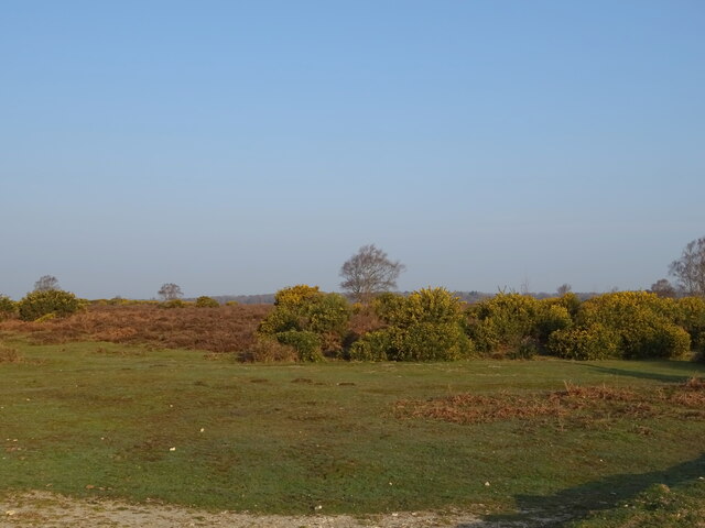
Clayhill Bottom, located in Hampshire, England, is a picturesque valley that offers breathtaking views and a peaceful ambiance. Situated in the South Downs National Park, this area is renowned for its natural beauty and tranquil surroundings.
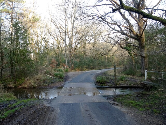
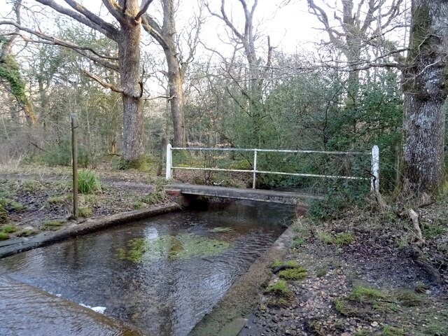
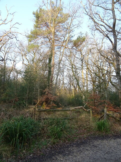
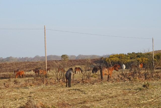
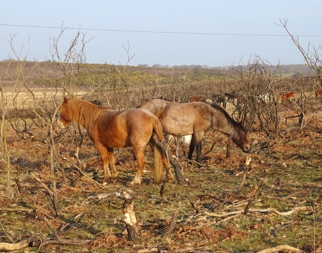
The valley is characterized by rolling hills covered in lush green vegetation, dotted with sporadic clusters of trees. The landscape is further enhanced by the presence of a meandering river that flows through the valley, adding to its charm and serenity. The river sustains a diverse range of flora and fauna, making it an ideal habitat for various species of birds and wildlife.
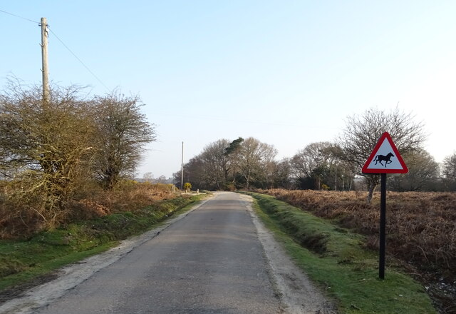
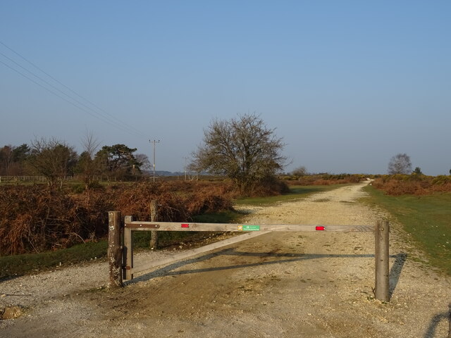
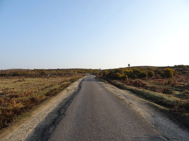
Clayhill Bottom is a popular destination for outdoor enthusiasts, offering a range of activities such as hiking, nature walks, and birdwatching. The well-maintained footpaths and trails provide an opportunity to explore the valley's scenic beauty up close. The valley's elevation also makes it a favored spot for paragliding enthusiasts, who are drawn to its favorable wind conditions and panoramic views.
In addition to its natural attractions, Clayhill Bottom is also home to a few quaint villages and country pubs, where visitors can indulge in traditional English cuisine and experience the warm hospitality of the locals. The area's rich history can be observed through the presence of historic landmarks and archaeological sites, further adding to its cultural significance.
Overall, Clayhill Bottom in Hampshire offers a harmonious blend of natural splendor, recreational activities, and cultural heritage, making it a must-visit destination for nature lovers and those seeking a peaceful escape from the bustle of city life.
If you have any feedback on the listing, please let us know in the comments section below.
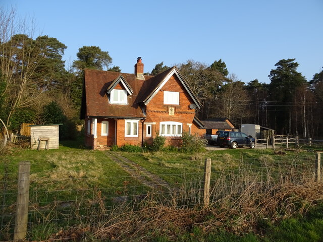
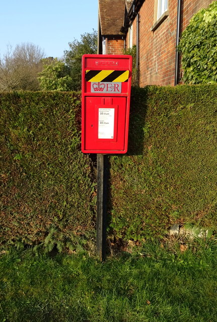
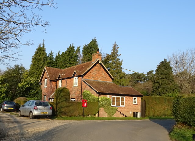
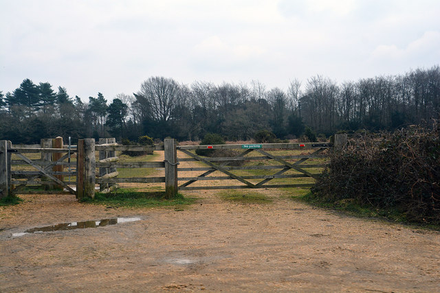
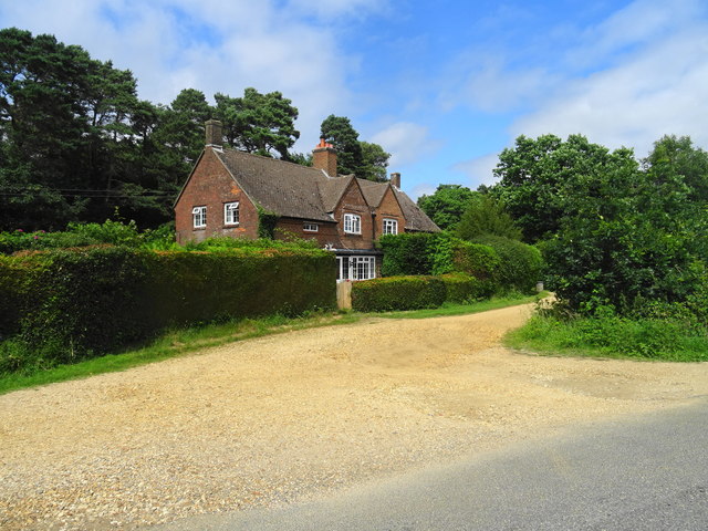
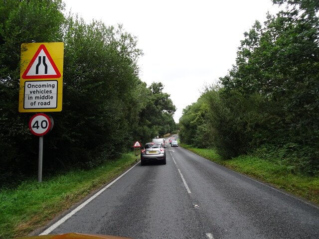
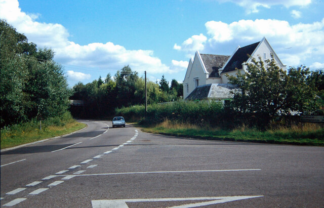
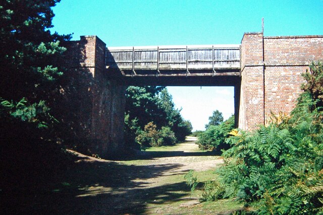
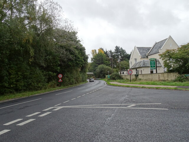
Clayhill Bottom Images
Images are sourced within 2km of 50.815099/-1.6722128 or Grid Reference SU2301. Thanks to Geograph Open Source API. All images are credited.
Clayhill Bottom is located at Grid Ref: SU2301 (Lat: 50.815099, Lng: -1.6722128)
Administrative County: Hampshire
District: New Forest
Police Authority: Hampshire
What 3 Words
///sunblock.dimension.steer. Near Burley, Hampshire
Nearby Locations
Related Wikis

Holmsley railway station
Holmsley is a closed railway station in the county of Hampshire which served rural settlements in the New Forest. == History == The station was opened...

Burley, Hampshire
Burley is a village and civil parish in the New Forest, Hampshire, England. It has ancient origins and is now somewhat tourist-orientated. == The village... ==

New Forest West (UK Parliament constituency)
New Forest West is a constituency represented in the House of Commons of the UK Parliament since 1997 by Desmond Swayne, a Conservative. == Constituency... ==

RAF Holmsley South
Royal Air Force Holmsley South or more simply RAF Holmsley South is a former Royal Air Force station in Hampshire, England. The airfield is located approximately...

Wootton, New Forest
Wootton is a hamlet in the civil parish of New Milton in Hampshire, England. It is in the south of the New Forest. == Overview == Wootton is just north...

Castle Hill, Hampshire
Castle Hill is the site of an Iron Age univallate hillfort located in the civil parish of Burley in the New Forest national park in Hampshire, England...

Ossemsley
Ossemsley is an extended hamlet in the New Forest National Park of Hampshire, England. It lies close to the village of Bashley. The nearest town is New...

All Saints' Church, Thorney Hill
All Saints' Church is a Church of England church in Thorney Hill, Hampshire, England. It was built in 1905–06 and has been a Grade I listed building since...
Nearby Amenities
Located within 500m of 50.815099,-1.6722128Have you been to Clayhill Bottom?
Leave your review of Clayhill Bottom below (or comments, questions and feedback).