Roker Lane Bottom
Valley in Yorkshire
England
Roker Lane Bottom

The requested URL returned error: 429 Too Many Requests
If you have any feedback on the listing, please let us know in the comments section below.
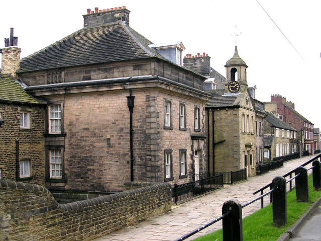
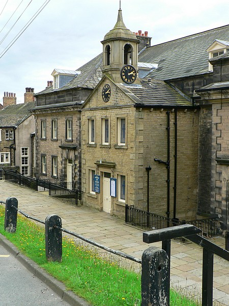
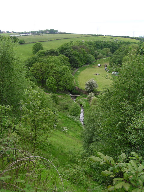
Roker Lane Bottom Images
Images are sourced within 2km of 53.779945/-1.6486246 or Grid Reference SE2331. Thanks to Geograph Open Source API. All images are credited.


Roker Lane Bottom is located at Grid Ref: SE2331 (Lat: 53.779945, Lng: -1.6486246)
Division: West Riding
Unitary Authority: Leeds
Police Authority: West Yorkshire
What 3 Words
///debit.roof.skill. Near Pudsey, West Yorkshire
Nearby Locations
Related Wikis

Fulneck School
Fulneck School is a small independent day and boarding school, situated in the Fulneck Moravian Settlement, in Pudsey, West Yorkshire, England. It provides...
Fulneck Moravian Settlement
Fulneck Moravian Settlement is a village in Pudsey in the City of Leeds metropolitan borough, West Yorkshire, England. The village (grid reference SE225319...
Fulneck Moravian Church
Fulneck Moravian Church and its associated settlement were established on the Fulneck estate, Pudsey, in the West Riding of Yorkshire, England, in 1744...
Tyersal Beck
Tyersal Beck is a watercourse in West Yorkshire, England, named after the village of Tyersal in whose vicinity it runs. == Course == Its source is located...
Nearby Amenities
Located within 500m of 53.779945,-1.6486246Have you been to Roker Lane Bottom?
Leave your review of Roker Lane Bottom below (or comments, questions and feedback).