Slufters Bottom
Valley in Hampshire New Forest
England
Slufters Bottom
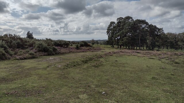
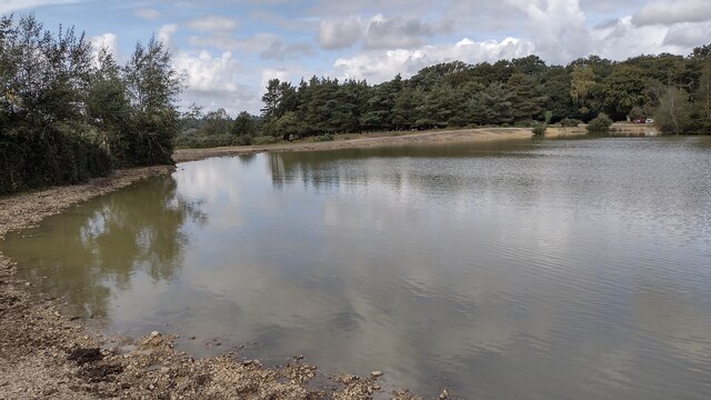
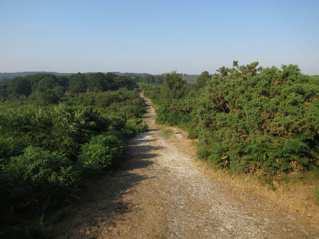
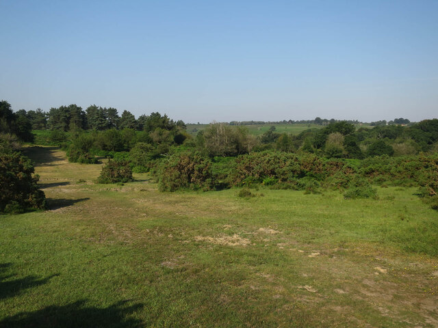
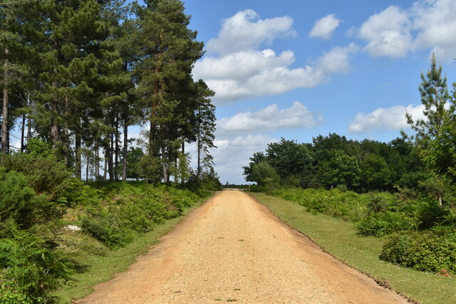
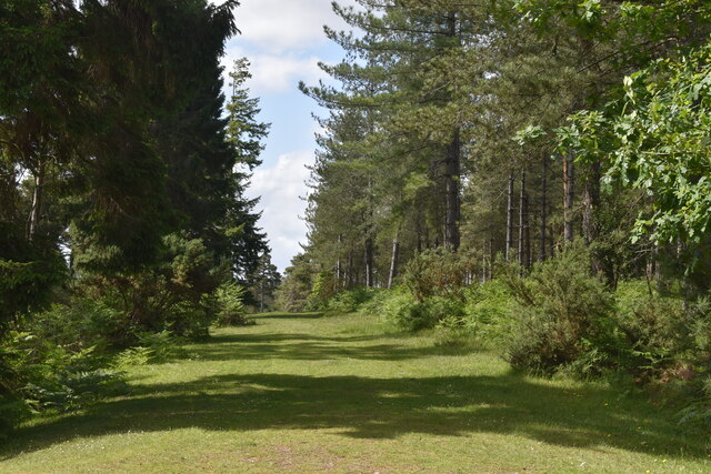
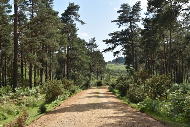
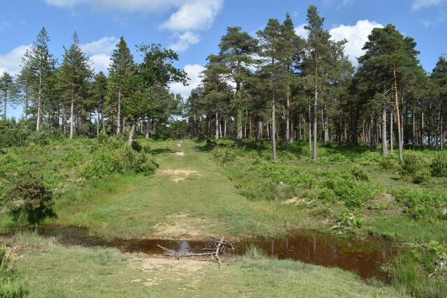
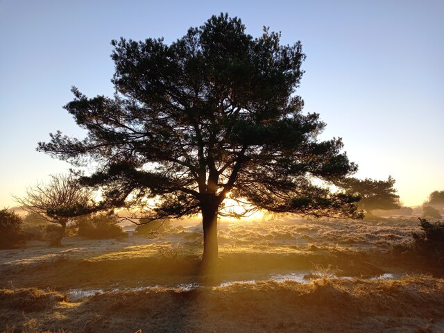
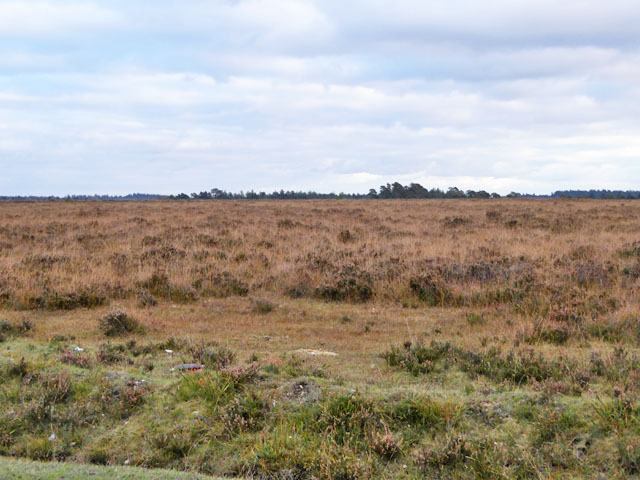
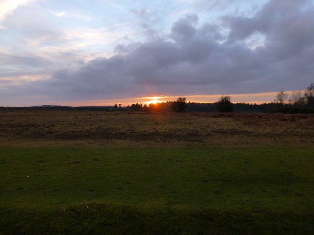
Slufters Bottom, located in Hampshire, England, is a picturesque valley nestled within the scenic New Forest National Park. This idyllic area is renowned for its natural beauty, offering a tranquil retreat for nature lovers and outdoor enthusiasts alike.
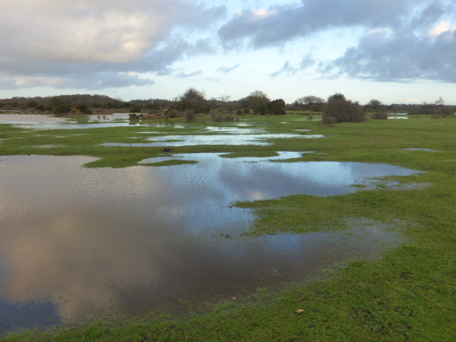
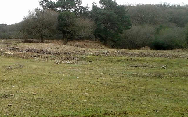
The bottom is characterized by its rolling hills, lush green meadows, and dense woodlands. The landscape is dotted with charming streams and small rivers that meander through the valley, creating a soothing ambiance and providing a habitat for a diverse range of wildlife.
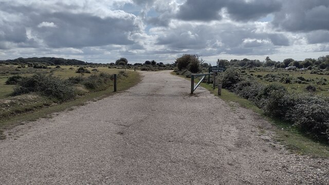
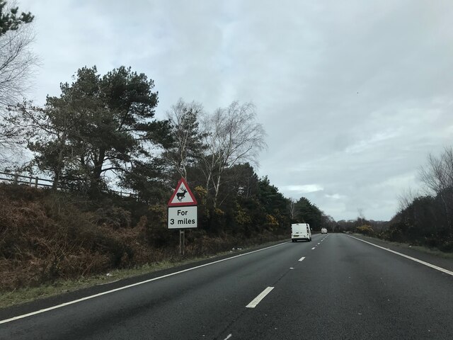
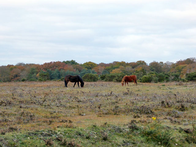
Slufters Bottom is a popular destination for hikers and walkers, as it offers an extensive network of well-marked trails that wind through the valley and surrounding areas. These trails provide the opportunity to explore the rich flora and fauna of the region, with sightings of deer, ponies, and a variety of bird species being common.
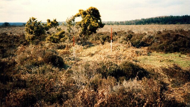
The valley is also home to several ancient landmarks, including Bronze Age burial mounds and the remnants of Iron Age settlements. These historical sites add a layer of cultural significance to the area, attracting history enthusiasts and archaeology buffs.
Visitors to Slufters Bottom can enjoy a range of outdoor activities, such as picnicking, horseback riding, and cycling. The valley is also a haven for photographers and artists, with its stunning vistas and ever-changing colors providing ample inspiration.
Overall, Slufters Bottom in Hampshire is a natural haven that offers a serene escape from the hustle and bustle of daily life. Its unspoiled beauty and rich history make it a must-visit destination for those seeking a genuine connection with nature and a glimpse into the region's past.
If you have any feedback on the listing, please let us know in the comments section below.
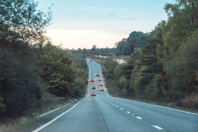
Slufters Bottom Images
Images are sourced within 2km of 50.891968/-1.6726408 or Grid Reference SU2310. Thanks to Geograph Open Source API. All images are credited.
Slufters Bottom is located at Grid Ref: SU2310 (Lat: 50.891968, Lng: -1.6726408)
Administrative County: Hampshire
District: New Forest
Police Authority: Hampshire
What 3 Words
///chugging.unveils.graced. Near Lyndhurst, Hampshire
Nearby Locations
Related Wikis

Ocknell Plain
Ocknell Plain can be found in the New Forest near Southampton, England. The area was used in World War II for the Stoney Cross airfield and it is now very...

RAF Stoney Cross
Royal Air Force Stoney Cross or more simply RAF Stoney Cross is a former Royal Air Force station in the New Forest, Hampshire, England. The airfield is...

New Forest District
New Forest is a local government district in Hampshire, England. Its council is based in Lyndhurst, although the largest town is Totton. The district also...

Fritham
Fritham is a small village in Hampshire, England. It lies in the north of the New Forest, near the Wiltshire border. It is in the civil parish of Bramshaw...

Bolderwood, Hampshire
Bolderwood is an area of the New Forest in Hampshire. Bolderwood hosts a deer sanctuary with a public deer observation platform. As a result, the public...

Upper Canterton
Upper Canterton is a village in Hampshire, England, located at 50°54′36″N 1°37′24″W. It is near Minstead. == References == The geographic coordinates are...

Linwood, Hampshire
Linwood is a hamlet in the New Forest National Park of Hampshire, England. Its nearest town is Ringwood, which lies approximately 4.2 miles (5.9 km) south...

Portuguese Fireplace
The Portuguese Fireplace is a war memorial in the New Forest National Park, near the village of Lyndhurst, Hampshire, England. It is located on the road...
Nearby Amenities
Located within 500m of 50.891968,-1.6726408Have you been to Slufters Bottom?
Leave your review of Slufters Bottom below (or comments, questions and feedback).