Clodisdale
Valley in Shetland
Scotland
Clodisdale
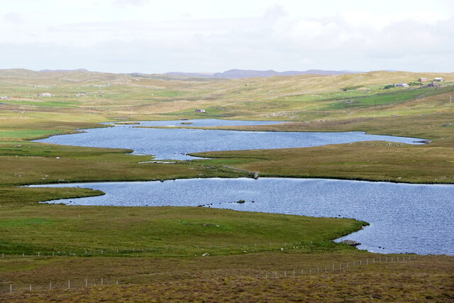
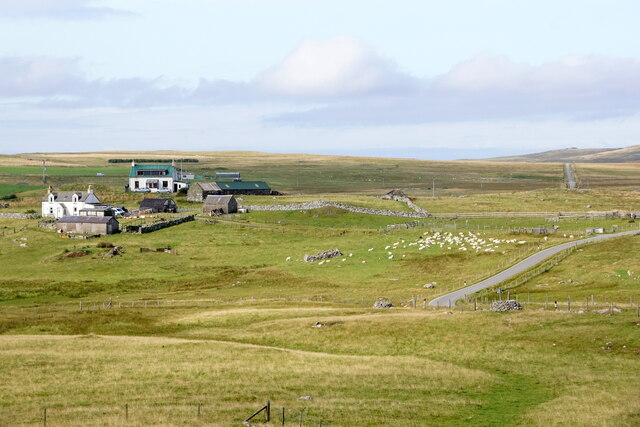
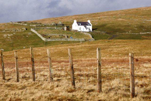
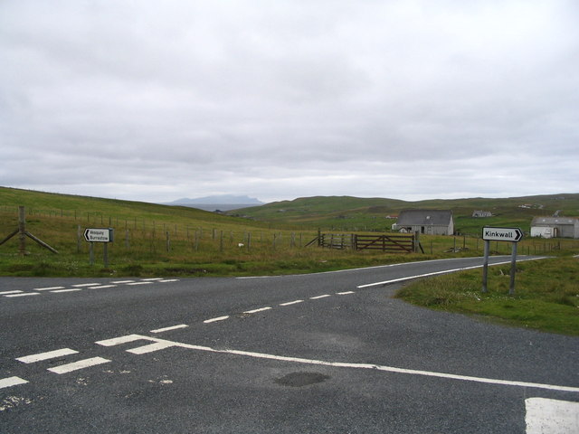
Clodisdale is a picturesque valley located in the Shetland Islands, Scotland. Situated on the island of Mainland, Clodisdale is nestled between rolling hills and offers breathtaking views of the surrounding natural beauty. The valley is characterized by its lush greenery, scattered wildflowers, and tranquil atmosphere.
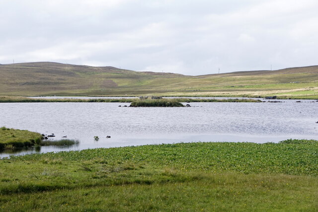
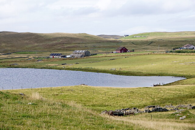
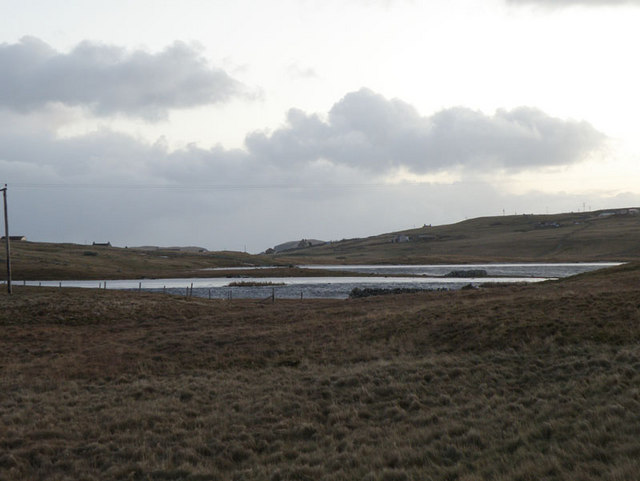
The landscape of Clodisdale is dominated by a meandering river that cuts through the valley, adding to its charm and providing a habitat for a variety of wildlife. The river is flanked by small patches of woodland, creating a diverse ecosystem that supports a range of plant and animal species.
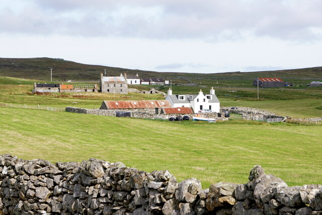
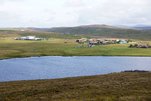
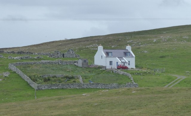
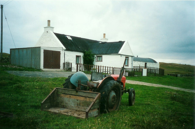
The area surrounding Clodisdale is predominantly rural, with a few scattered residential properties and farmland. The local community is small but tight-knit, maintaining a close connection to the land and its natural resources. Agriculture plays a significant role in the local economy, with farmers cultivating crops and raising livestock in the fertile soils of the valley.
Clodisdale is a haven for nature enthusiasts, offering opportunities for hiking, birdwatching, and photography. The valley's peaceful ambiance and unspoiled landscapes make it an ideal destination for those seeking a retreat from the hustle and bustle of everyday life.
Overall, Clodisdale is a hidden gem in the Shetland Islands, offering visitors a chance to immerse themselves in the beauty of nature and experience the tranquility of rural life.
If you have any feedback on the listing, please let us know in the comments section below.
Clodisdale Images
Images are sourced within 2km of 60.23802/-1.5850383 or Grid Reference HU2350. Thanks to Geograph Open Source API. All images are credited.


Clodisdale is located at Grid Ref: HU2350 (Lat: 60.23802, Lng: -1.5850383)
Unitary Authority: Shetland Islands
Police Authority: Highlands and Islands
What 3 Words
///positives.mice.masts. Near Walls, Shetland Islands
Nearby Locations
Related Wikis

Walls, Shetland
Walls, traditionally pronounced Waas (Old Norse: Vagar = "Sheltered Bays" (voes) - the Ordnance Survey added the "ll" as they thought it was a corruption...

Linga, Vaila Sound
Linga is one of the Shetland Islands, near Vaila and Walls on Mainland, Shetland. Its highest elevation is 28 metres (91 ft). In 2014 and 2018 it was...

Burrastow
Burrastow is a location on the west shore of Vaila Sound near the village of Walls on the Shetland Mainland, Scotland. There are two small piers and the...

Scord of Brouster
The Scord of Brouster is one of the earliest Neolithic farm sites in Shetland, Scotland. It has been dated to 2220 BC with a time window of 80 years on...
Nearby Amenities
Located within 500m of 60.23802,-1.5850383Have you been to Clodisdale?
Leave your review of Clodisdale below (or comments, questions and feedback).