Littlemoor Bottom
Valley in Yorkshire
England
Littlemoor Bottom
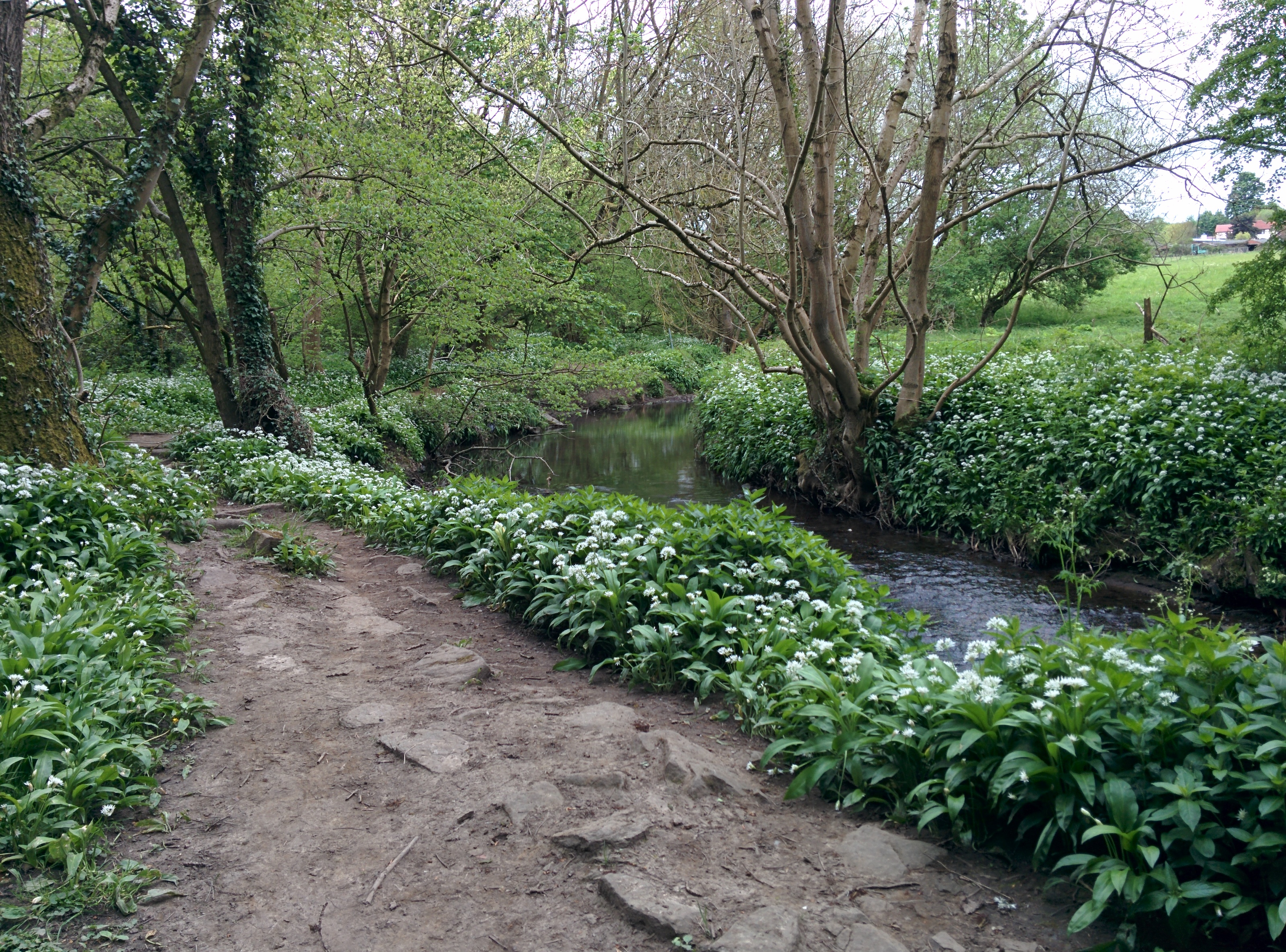
Littlemoor Bottom is a picturesque valley located in Yorkshire, England. Nestled amidst rolling green hills and surrounded by natural beauty, it is a popular destination for nature lovers and outdoor enthusiasts. The valley is situated in the heart of the Yorkshire Dales National Park, renowned for its stunning landscapes and diverse wildlife.
Littlemoor Bottom is characterized by its tranquil atmosphere and idyllic scenery. The valley is adorned with a patchwork of lush meadows, ancient woodlands, and bubbling streams, creating a haven for various species of flora and fauna. Visitors can expect to encounter a wide range of wildlife, including roe deer, red squirrels, and a variety of bird species.
The valley offers an array of recreational activities for visitors to enjoy. Hiking and walking trails crisscross the area, allowing visitors to explore the stunning surroundings and take in breathtaking views. Additionally, the valley's streams are a popular spot for anglers, attracting those seeking to catch trout or salmon.
Littlemoor Bottom is also home to several charming villages and hamlets, where visitors can experience the region's rich history and traditional way of life. Quaint stone cottages and historic buildings dot the landscape, adding to the valley's charm and character.
Overall, Littlemoor Bottom is a hidden gem in Yorkshire, offering visitors a peaceful retreat amidst nature's beauty. Its stunning landscapes, diverse wildlife, and rich history make it a must-visit destination for those seeking an authentic Yorkshire experience.
If you have any feedback on the listing, please let us know in the comments section below.
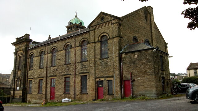
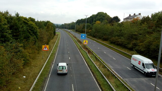
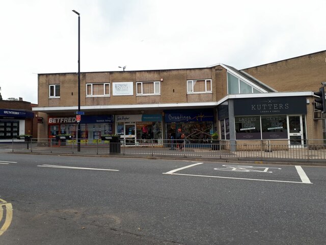
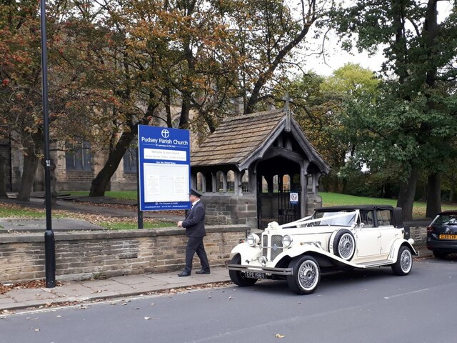
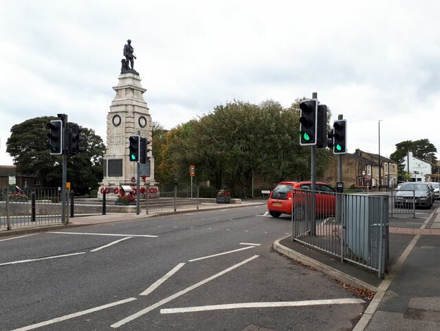
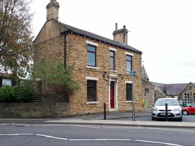
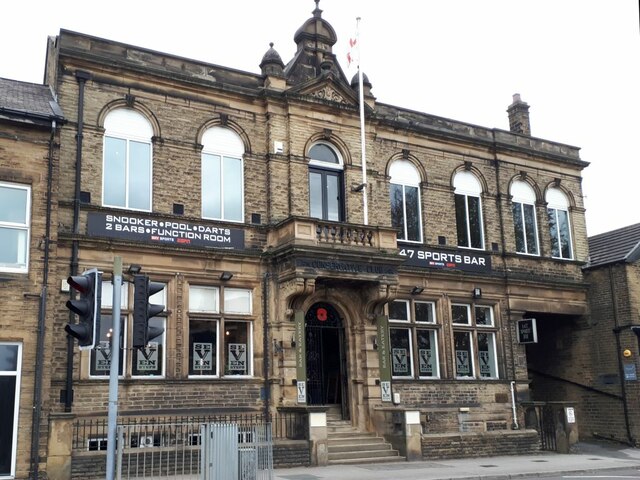
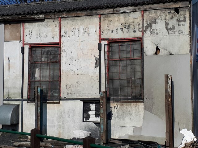
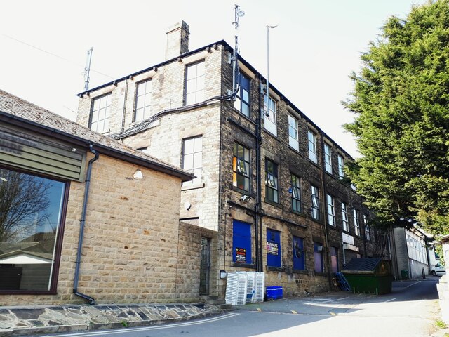
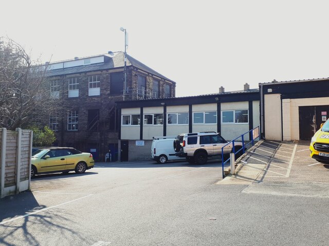
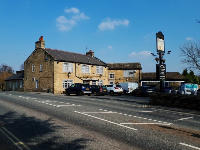
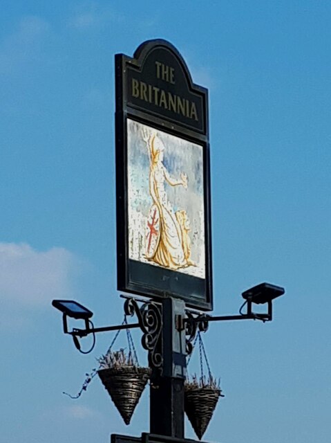
Littlemoor Bottom Images
Images are sourced within 2km of 53.789582/-1.6524147 or Grid Reference SE2232. Thanks to Geograph Open Source API. All images are credited.

Littlemoor Bottom is located at Grid Ref: SE2232 (Lat: 53.789582, Lng: -1.6524147)
Division: West Riding
Unitary Authority: Leeds
Police Authority: West Yorkshire
What 3 Words
///poet.bath.verbs. Near Pudsey, West Yorkshire
Nearby Locations
Related Wikis

Crawshaw Academy
Crawshaw Academy (formerly Crawshaw School) is a secondary school with academy status in Pudsey, West Yorkshire, England. The Crawshaw Academy logo is...

Fulneck School
Fulneck School is a small independent day and boarding school, situated in the Fulneck Moravian Settlement, in Pudsey, West Yorkshire, England. It provides...

Pudsey Lowtown railway station
Pudsey Lowtown railway station is a closed railway station in Pudsey, in the former West Riding of Yorkshire, located about 5 mi (8 km) west of Leeds station...
Post Hill
Post Hill is a designated Leeds Nature Area on the western end of Farnley, and partly in Pudsey. It is situated mostly east of Pudsey Beck and Farnley...
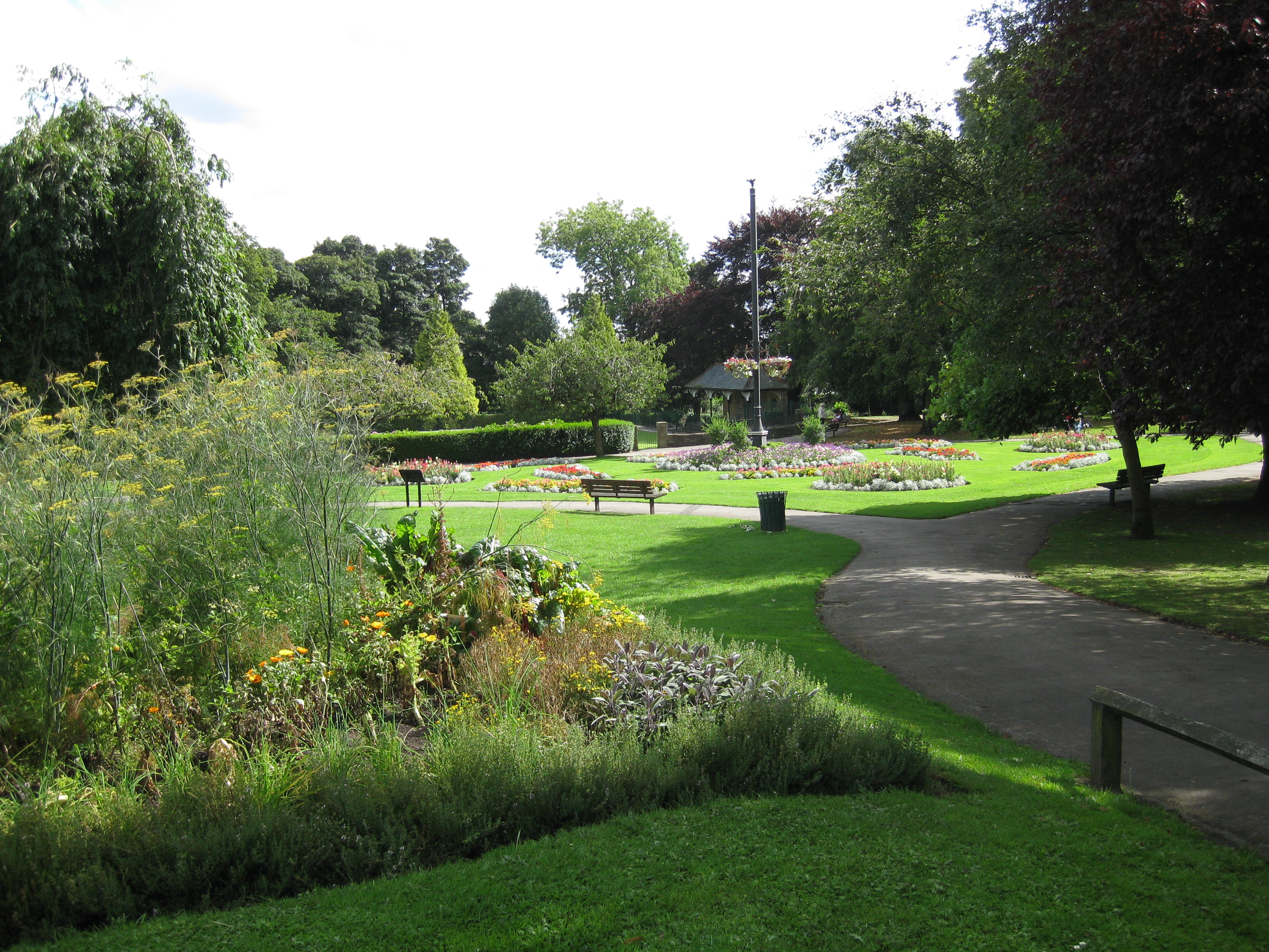
Pudsey Park
Pudsey Park is a public park in Pudsey, West Yorkshire, England, approximately 5 miles (8 km) west of Leeds city centre. The park is the second most popular...
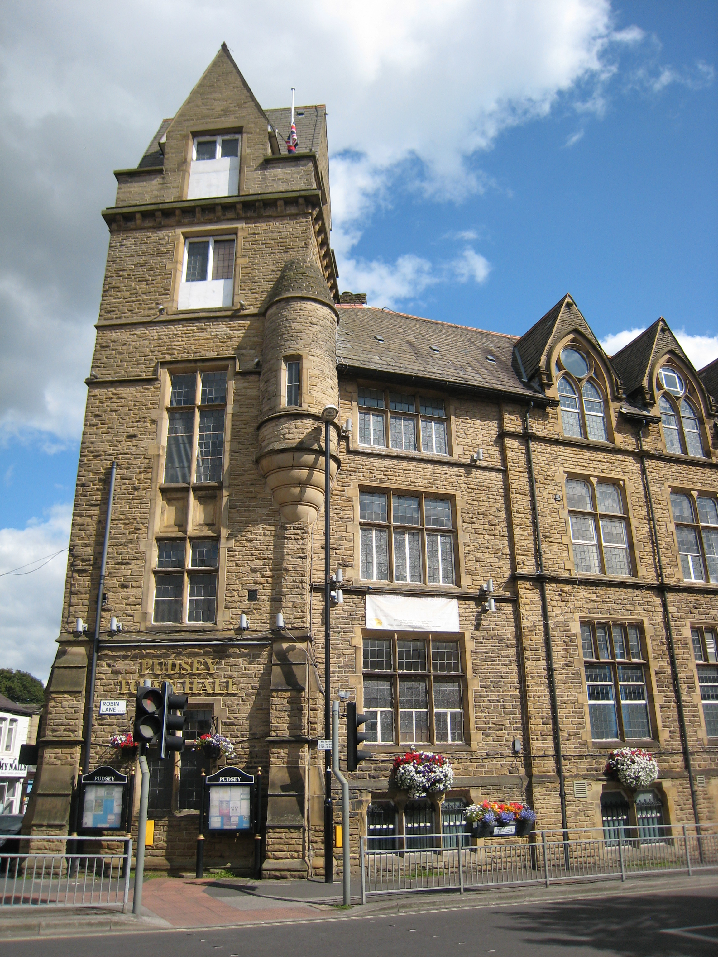
Pudsey Town Hall
Pudsey Town Hall is a municipal building in Robin Lane, Pudsey, West Yorkshire, England. The town hall was the headquarters of Pudsey Urban District Council...
Fulneck Moravian Church
Fulneck Moravian Church and its associated settlement were established on the Fulneck estate, Pudsey, in the West Riding of Yorkshire, England, in 1744...
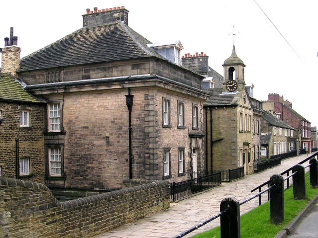
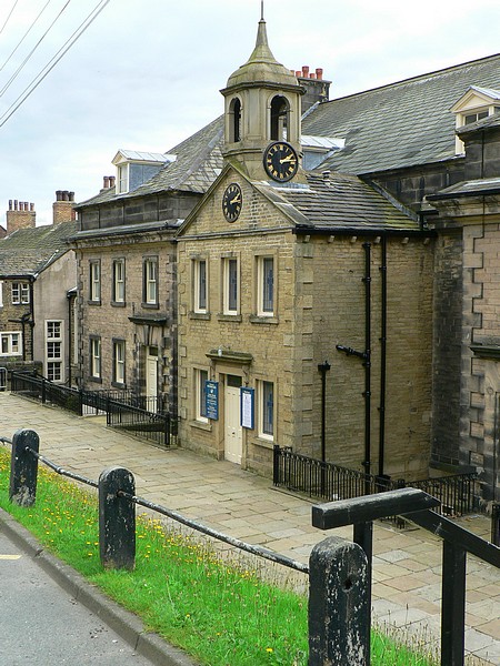
Fulneck Moravian Settlement
Fulneck Moravian Settlement is a village in Pudsey in the City of Leeds metropolitan borough, West Yorkshire, England. The village (grid reference SE225319...
Nearby Amenities
Located within 500m of 53.789582,-1.6524147Have you been to Littlemoor Bottom?
Leave your review of Littlemoor Bottom below (or comments, questions and feedback).