Fulneck

Settlement in Yorkshire

England

Fulneck

Tong, St James's church The church is located on the north side of the road which runs through the village. This benchmark is cut into the west face of the tower. The arrowhead is slightly damaged, but the datum line remains very clear.
Tong, St James's church Credit: Mel Towler

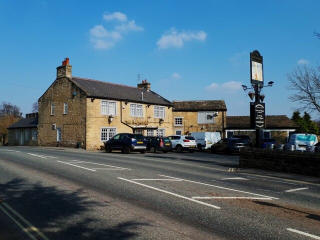
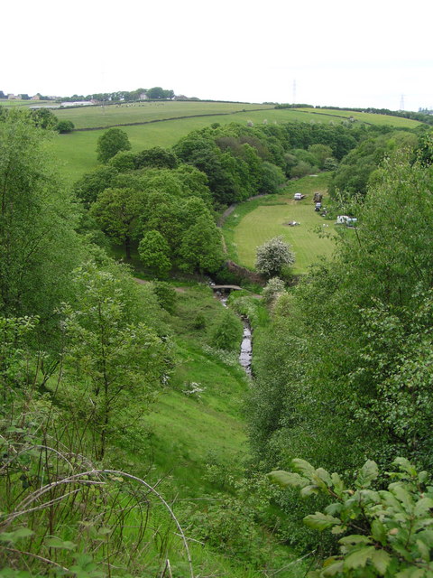
Fulneck is a picturesque village located in the county of Yorkshire, England. Nestled in the beautiful valleys of the West Yorkshire countryside, it offers a peaceful and idyllic setting for residents and visitors alike. The village is part of the larger town of Pudsey and is situated just a few miles from the bustling city of Leeds.

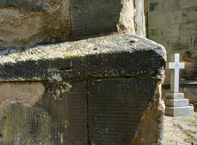
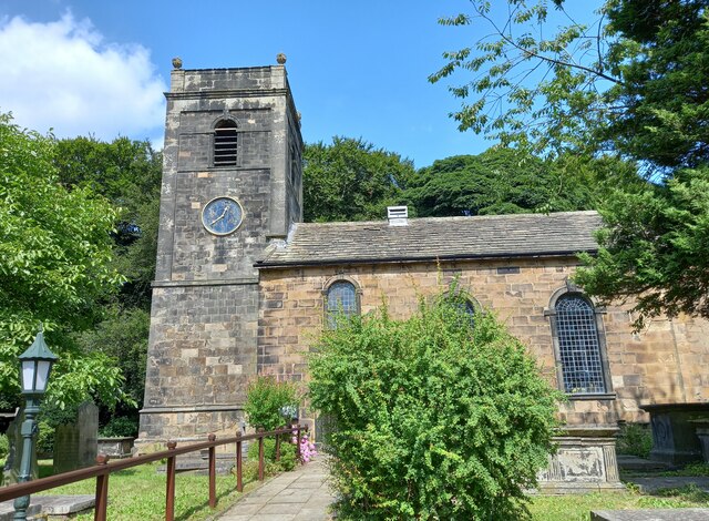
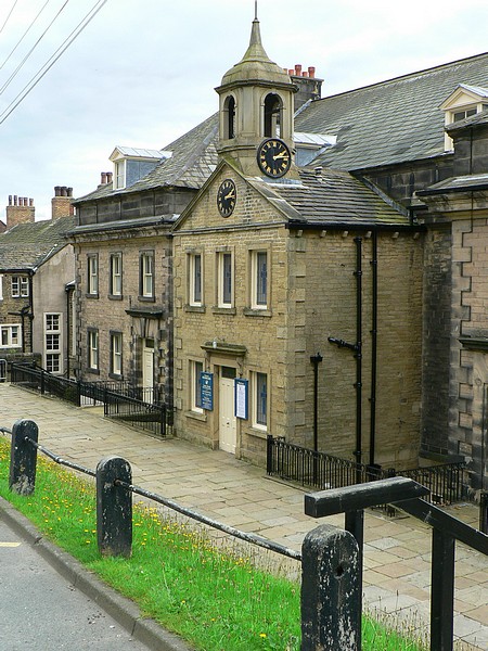
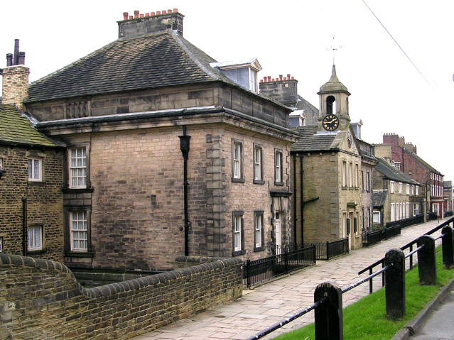
Fulneck is renowned for its rich history, dating back to the 18th century when it was established as a Moravian settlement. The village is characterized by its well-preserved Georgian architecture, with many historic buildings still standing today. One of the notable landmarks is Fulneck Moravian Church, a stunning example of the period's architectural style.

The village boasts a strong sense of community, with a range of amenities and facilities to cater to residents' needs. These include a primary school, a post office, a village shop, and various sports clubs. The tranquil setting also attracts visitors who come to explore the scenic countryside, with ample opportunities for hiking, cycling, and nature walks.

Fulneck is also home to the Fulneck Golf Club, offering a challenging course for golf enthusiasts. Additionally, the village hosts several cultural and social events throughout the year, including the popular Fulneck Music Festival.

In summary, Fulneck is a charming and historic village in Yorkshire, characterized by its Georgian architecture, stunning landscapes, and vibrant community spirit. It offers a unique blend of history, natural beauty, and modern amenities, making it an attractive destination for both residents and visitors.

If you have any feedback on the listing, please let us know in the comments section below.
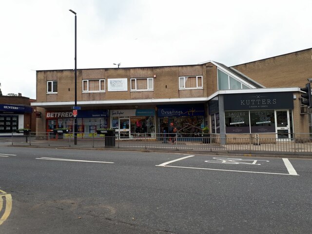
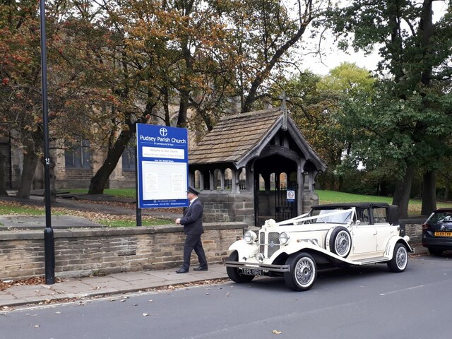
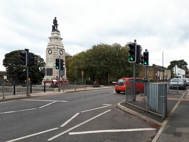
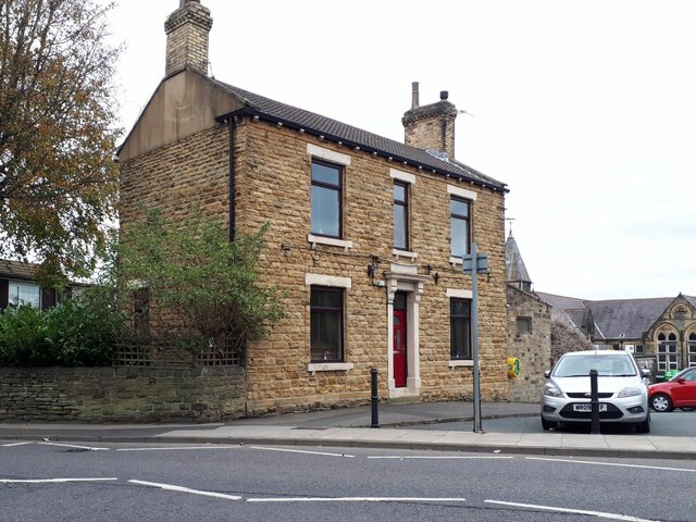
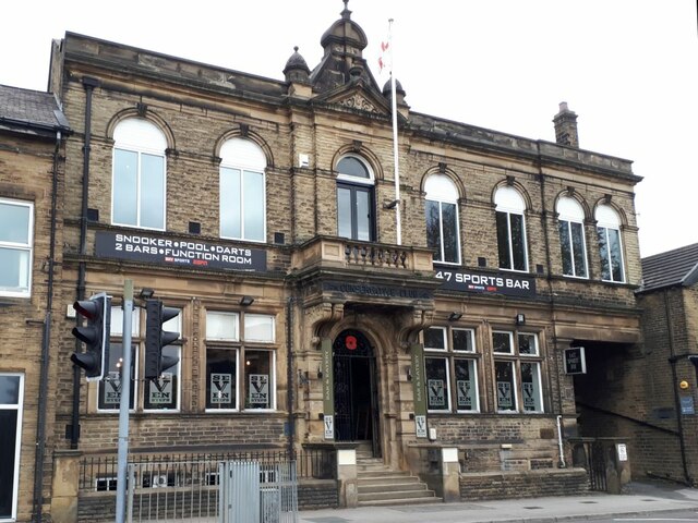
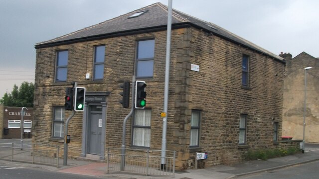
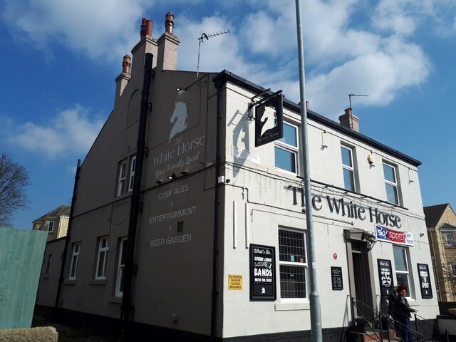
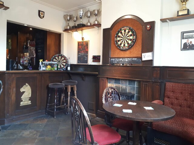
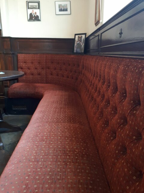
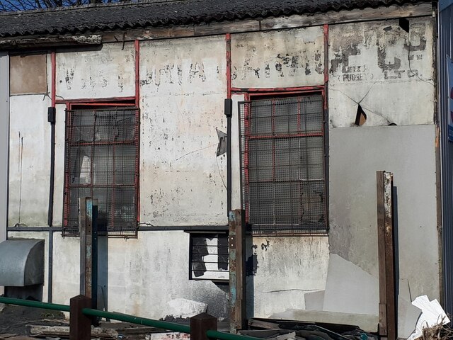
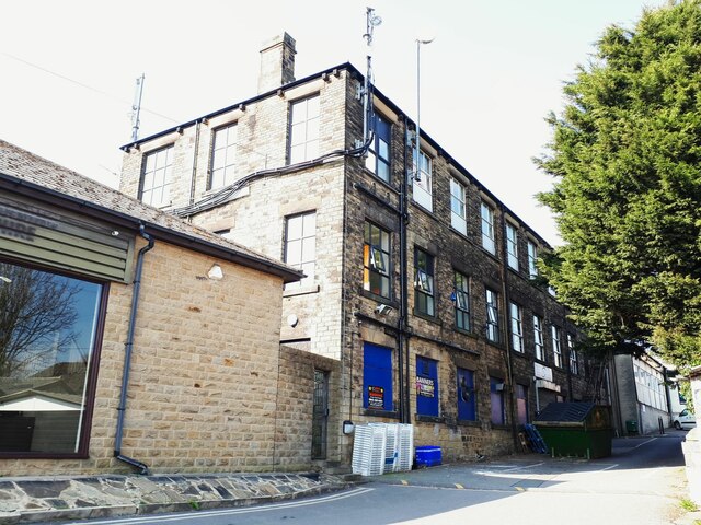
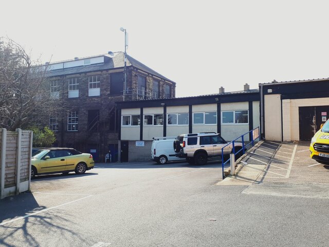
Fulneck Images

Images are sourced within 2km of 53.784751/-1.664548 or Grid Reference SE2232. Thanks to Geograph Open Source API. All images are credited.

Tong, St James's church The church is located on the north side of the road which runs through the village. This benchmark is cut into the west face of the tower. The arrowhead is slightly damaged, but the datum line remains very clear.
Tong, St James's church
The church is located on the north side of the road which runs through the village. This benchmark is cut into the west face of the tower. The arrowhead is slightly damaged, but the datum line remains very clear.
Tong, St James's church The church is located on the north side of the road which runs through the village. There is a benchmark cut into the west face of the tower. The arrowhead is slightly damaged, but the datum line remains very clear.
Tong, St James's church
The church is located on the north side of the road which runs through the village. There is a benchmark cut into the west face of the tower. The arrowhead is slightly damaged, but the datum line remains very clear.
Former Trinity Methodist Church, Pudsey A view of the east side and rear from Mount Pleasant Heights. Grade II Listed c1899.
Former Trinity Methodist Church, Pudsey
A view of the east side and rear from Mount Pleasant Heights. Grade II Listed c1899.
The A647 Leeds Ring Road / Stanningley Bypass at Pudsey Viewed from Richardshaw Lane bridge.
The A647 Leeds Ring Road / Stanningley Bypass at Pudsey
Viewed from Richardshaw Lane bridge.
Kutters, Church Lane, Pudsey Formerly known just as "The Barber's Shop", it changed its name in 2021 (I know, as my wife gets her hair cut here). To the left in the row are a greetings card shop, charity shop and betting shop.
Kutters, Church Lane, Pudsey
Formerly known just as "The Barber's Shop", it changed its name in 2021 (I know, as my wife gets her hair cut here). To the left in the row are a greetings card shop, charity shop and betting shop.
Wedding car at St Lawrence's A white Bentley with uniformed chauffeur stands outside the lychgate awaiting the happy couple.
Wedding car at St Lawrence's
A white Bentley with uniformed chauffeur stands outside the lychgate awaiting the happy couple.
Pelican crossing on Chapeltown, Pudsey Near the war memorial.
Pelican crossing on Chapeltown, Pudsey
Near the war memorial.
House with a defibrillator, Chapeltown, Pudsey It would be unusual for a private house to have a public defibrillator on the outside, so it may be that the building is publicly or charitably owned.
House with a defibrillator, Chapeltown, Pudsey
It would be unusual for a private house to have a public defibrillator on the outside, so it may be that the building is publicly or charitably owned.
Seven Steps, Chapeltown, Pudsey A bar and music venue in the former Conservative Club, see also <a href="https://www.geograph.org.uk/photo/6806334">SE2132 : Former Conservative Club, Chapeltown, Pudsey</a>. There are actually ten steps at the entrance.
Seven Steps, Chapeltown, Pudsey
A bar and music venue in the former Conservative Club, see also SE2132 : Former Conservative Club, Chapeltown, Pudsey. There are actually ten steps at the entrance.
The former George Pub The George Pub on Richardshaw Lane in Pudsey… now converted into offices
The former George Pub
The George Pub on Richardshaw Lane in Pudsey… now converted into offices
The White Horse, Hough Side Road, Pudsey One of CAMRA's heritage pubs (see shared description). Since 2016 the inn sign <a href="https://www.geograph.org.uk/photo/4790176">SE2233 : The White Horse, Hough Side Road, Pudsey</a> has been replaced with a new one in silhouette, more a representation of a chess knight than an actual horse.
The White Horse, Hough Side Road, Pudsey
One of CAMRA's heritage pubs (see shared description). Since 2016 the inn sign SE2233 : The White Horse, Hough Side Road, Pudsey has been replaced with a new one in silhouette, more a representation of a chess knight than an actual horse.
The White Horse, Hough Side Road, Pudsey - front bar This is the most unaltered room in the pub. According to CAMRA it was refurbished by Tetley's in 1938 and the moquette seating dates from that time.  The trophies are those of a local rugby club. See <a href="https://www.geograph.org.uk/photo/7131289">SE2233 : The White Horse, Hough Side Road, Pudsey</a> for the outside.
The White Horse, Hough Side Road, Pudsey - front bar
This is the most unaltered room in the pub. According to CAMRA it was refurbished by Tetley's in 1938 and the moquette seating dates from that time. The trophies are those of a local rugby club. See SE2233 : The White Horse, Hough Side Road, Pudsey for the outside.
The White Horse, Hough Side Road, Pudsey - front bar seating This is the most unaltered room in the pub. According to CAMRA it was refurbished by Tetley's in 1938 and the seating dates from that time, although I expect the moquette covers have been replaced more than once in 84 years. See <a href="https://www.geograph.org.uk/photo/7131289">SE2233 : The White Horse, Hough Side Road, Pudsey</a> for the outside.
The White Horse, Hough Side Road, Pudsey - front bar seating
This is the most unaltered room in the pub. According to CAMRA it was refurbished by Tetley's in 1938 and the seating dates from that time, although I expect the moquette covers have been replaced more than once in 84 years. See SE2233 : The White Horse, Hough Side Road, Pudsey for the outside.
Mark's Garage Services, Swinnow Road This functional garage building with corrugated modern sheet metal cladding on the front is probably older than it looks, see <a href="https://www.geograph.org.uk/photo/7131308">SE2233 : Ghost sign on a garage</a>.
Mark's Garage Services, Swinnow Road
This functional garage building with corrugated modern sheet metal cladding on the front is probably older than it looks, see SE2233 : Ghost sign on a garage.
Ghost sign on a garage This functional garage building with corrugated modern sheet metal cladding on the front is probably older than it looks, with a ghost sign for the Victoria Garage Company Ltd painted on a rendered finish to the side. See <a href="https://www.geograph.org.uk/photo/7131307">SE2233 : Mark's Garage Services, Swinnow Road</a> for context.
Ghost sign on a garage
This functional garage building with corrugated modern sheet metal cladding on the front is probably older than it looks, with a ghost sign for the Victoria Garage Company Ltd painted on a rendered finish to the side. See SE2233 : Mark's Garage Services, Swinnow Road for context.
Town End Mills, Pudsey Now a small business centre.
Town End Mills, Pudsey
Now a small business centre.
Altered Image Gymnasium, Swinnow Road, Pudsey The business claims to be the oldest private gym in Leeds, established in 1995.
Altered Image Gymnasium, Swinnow Road, Pudsey
The business claims to be the oldest private gym in Leeds, established in 1995.
The Britannia, Swinnow Road, Pudsey A late 18th century inn with adjacent stables, grade II listed (list entry 1255936).
The Britannia, Swinnow Road, Pudsey
A late 18th century inn with adjacent stables, grade II listed (list entry 1255936).
Show me another place!

Fulneck is located at Grid Ref: SE2232 (Lat: 53.784751, Lng: -1.664548)

Division: West Riding

Unitary Authority: Leeds

Police Authority: West Yorkshire

What 3 Words

///silly.hooked.rope. Near Pudsey, West Yorkshire

Related Wikis

Fulneck Moravian Church

Fulneck Moravian Church and its associated settlement were established on the Fulneck estate, Pudsey, in the West Riding of Yorkshire, England, in 1744...

Fulneck Moravian Settlement

Fulneck Moravian Settlement is a village in Pudsey in the City of Leeds metropolitan borough, West Yorkshire, England. The village (grid reference SE225319...
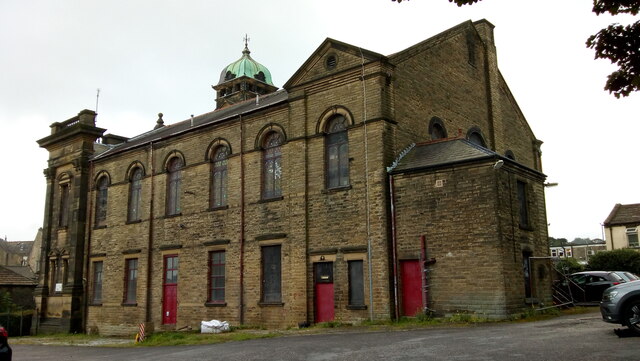
Fulneck School

Fulneck School is a small independent day and boarding school, situated in the Fulneck Moravian Settlement, in Pudsey, West Yorkshire, England. It provides...

Pudsey Greenside railway station

Pudsey Greenside railway station is a closed railway station in Pudsey in the former West Riding of Yorkshire England, located about 6 mi (10 km) west...

Tyersal Beck

Tyersal Beck is a watercourse in West Yorkshire, England, named after the village of Tyersal in whose vicinity it runs. == Course == Its source is located...

Holme Beck

Holme Beck is a watercourse in the Tong ward of the City of Bradford, West Yorkshire, England. It drains a shallow valley east of the watershed between...

Crawshaw Academy

Crawshaw Academy (formerly Crawshaw School) is a secondary school with academy status in Pudsey, West Yorkshire, England. The Crawshaw Academy logo is...
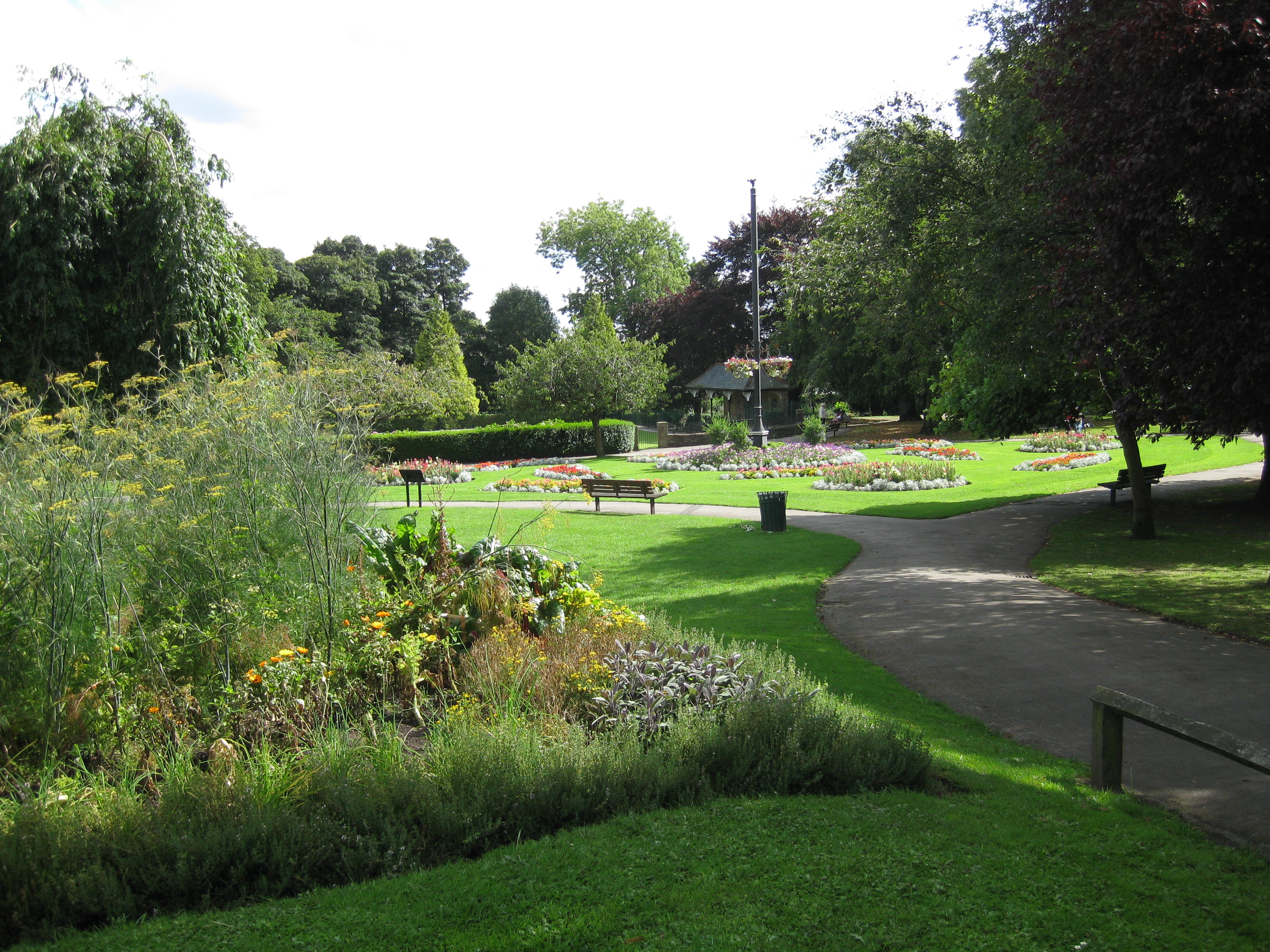
Pudsey Park

Pudsey Park is a public park in Pudsey, West Yorkshire, England, approximately 5 miles (8 km) west of Leeds city centre. The park is the second most popular...

Nearby Amenities

Located within 500m of 53.784751,-1.664548
Turning Circle
Lat/Long: 53.7856914/-1.6571966
Pub
The Bankhouse Inn
Addr City: Pudsey
Addr Housenumber: 40
Addr Postcode: LS28 8EB
Addr Street: Bankhouse Lane
Fhrs Id: 1597014
Lat/Long: 53.7843273/-1.6718361
Post Box
Operator: Royal Mail
Post Box Type: wall
Ref: LS28 685
Royal Cypher: GR
Royal Cypher Wikidata: Q33102273
Lat/Long: 53.7882208/-1.6667965
Pub
The Fleece
Lat/Long: 53.7883127/-1.6665067
Telephone
Booth: KX100
Covered: booth
Lat/Long: 53.7881668/-1.6666086
Best-One Convenience Store
Addr City: Pudsey
Addr Housenumber: 3
Addr Postcode: LS28 8AZ
Addr Street: Southroyd Parade
Fhrs Id: 322706
Shop: convenience
Lat/Long: 53.7862522/-1.6628557
Fulneck Moravian Settlement
Place: village
Wikidata: Q5508369
Lat/Long: 53.7839755/-1.664907
Bus Stop
Roker Lane Oakdene Close
Bus: yes
Local Ref: 45012217
Naptan AtcoCode: 450012217
Naptan Bearing: NE
Naptan CommonName: Roker Lane Oakdene Close
Naptan Crossing: Oakdene Close
Naptan Indicator: Stop 45012217
Naptan Landmark: Unknown
Naptan PlusbusZoneRef: LEEDS
Naptan ShortCommonName: Oakedene Close
Naptan Street: Roker Lane
Naptan Verified: no
Public Transport: platform
Source: naptan_import
Lat/Long: 53.785853/-1.6581644
Bus Stop
Fartown Ashdene Crescent
Bus: yes
Local Ref: 45012218
Naptan AtcoCode: 450012218
Naptan Bearing: NW
Naptan CommonName: Fartown Ashdene Crescent
Naptan Crossing: Ash dene Crescent
Naptan Indicator: Stop 45012218
Naptan PlusbusZoneRef: LEEDS
Naptan ShortCommonName: Ash Dene Crescent
Naptan Street: Fartown
Naptan Verified: no
Public Transport: platform
Source: naptan_import
Lat/Long: 53.7853048/-1.6613562
Bus Stop
Fartown Southroyd Rise
Bus: yes
Local Ref: 45012219
Naptan AtcoCode: 450012219
Naptan Bearing: SE
Naptan CommonName: Fartown Southroyd Rise
Naptan Crossing: South Royd Rise
Naptan Indicator: Stop 45012219
Naptan PlusbusZoneRef: LEEDS
Naptan ShortCommonName: Southroyd Rise
Naptan Street: Fartown
Naptan Verified: no
Public Transport: platform
Source: naptan_import
Lat/Long: 53.7862078/-1.6628515
Bus Stop
Fartown Mill Hill
Bus: yes
Local Ref: 45012220
Naptan AtcoCode: 450012220
Naptan Bearing: NW
Naptan CommonName: Fartown Mill Hill
Naptan Crossing: Mill Hill
Naptan Indicator: Stop 45012220
Naptan Landmark: Unknown
Naptan PlusbusZoneRef: LEEDS
Naptan ShortCommonName: Mill Hill
Naptan Street: Fartown
Naptan Verified: no
Public Transport: platform
Source: naptan_import
Lat/Long: 53.7863801/-1.6633965
Bus Stop
Fartown Hillthorpe Road
Bus: yes
Local Ref: 45012221
Naptan AtcoCode: 450012221
Naptan Bearing: SE
Naptan CommonName: Fartown Hillthorpe Road
Naptan Crossing: Hillthorpe Road
Naptan Indicator: Stop 45012221
Naptan Notes: Shelter in RTA
Naptan PlusbusZoneRef: LEEDS
Naptan ShortCommonName: Hillthorpe Road
Naptan Street: Fartown
Naptan Verified: no
Public Transport: platform
Source: naptan_import
Lat/Long: 53.7878791/-1.665889
Bus Stop
Fartown
Bus: yes
Local Ref: 45012222
Naptan AtcoCode: 450012222
Naptan Bearing: NW
Naptan CommonName: Fartown
Naptan Crossing: Woodlands Park Road
Naptan Indicator: Stop 45012222
Naptan Landmark: Southroyd Primary School
Naptan PlusbusZoneRef: LEEDS
Naptan ShortCommonName: Woodlands Park Road
Naptan Street: Fartown
Naptan Verified: no
Public Transport: platform
Source: naptan_import
Lat/Long: 53.7879797/-1.6664802
Place Of Worship
Fulneck Moravian Church
Denomination: moravian
Religion: christian
Wikidata: Q5508370
Wikipedia: en:Fulneck Moravian Church
Lat/Long: 53.7838567/-1.6644821
Fulneck Moravian Museum
Email: museum@fulneck.org.uk
Fee: no
Phone: +44 113 256 5180
Tourism: museum
Website: http://www.fulneck.org.uk/?page_id=16
Wikidata: Q113369831
Lat/Long: 53.7841023/-1.664982
The Giving Tree
Disused Amenity: cafe
Lat/Long: 53.7837437/-1.6683658
Post Box
Operator: Royal Mail
Post Box Type: wall
Ref: LS28 247
Royal Cypher: GR
Royal Cypher Wikidata: Q33102273
Lat/Long: 53.7837694/-1.6683957
Fast Food
Fartown Fisheries
Addr City: Pudsey
Addr Housenumber: 137
Addr Postcode: LS28 8NH
Addr Street: Fartown
Cuisine: fish_and_chips
Fhrs Id: 320442
Takeaway: yes
Lat/Long: 53.7876093/-1.665739
Defibrillator
Defibrillator Location: Far left of front external wall of The Fleece
Emergency: defibrillator
Lat/Long: 53.7883033/-1.6665738
Childcare
After The Bell
Addr City: Pudsey
Addr Housename: Southroyd Primary School
Addr Postcode: LS28 8AT
Addr Street: Littlemoor Crescent South
Fhrs Id: 818434
Lat/Long: 53.7883437/-1.6635114
Waste Basket
Collection Times: weekly
Condition: FAIR
Ref UK Leedscc Bin: 5057
Waste Basket Model: METAL TWIN
Lat/Long: 53.785197/-1.66062
Waste Basket
Collection Times: weekly
Condition: GOOD
Ref UK Leedscc Bin: 5056
Waste Basket Model: METAL SQUARE
Lat/Long: 53.785097/-1.660765
Waste Basket
Collection Times: weekly
Condition: GOOD
Ref UK Leedscc Bin: 5058
Waste Basket Model: METAL SQUARE
Lat/Long: 53.784328/-1.661157
Waste Basket
Collection Times: weekly
Condition: FAIR
Ref UK Leedscc Bin: 1881
Waste Basket Model: METAL TWIN
Lat/Long: 53.78777/-1.663893
Waste Basket
Collection Times: Mo-Fr
Condition: POOR
Ref UK Leedscc Bin: 1040
Waste Basket Model: METAL TWIN
Lat/Long: 53.787337/-1.66467
Waste Basket
Collection Times: weekly
Condition: GOOD
Ref UK Leedscc Bin: 1078
Waste Basket Model: METAL SQUARE
Lat/Long: 53.784129/-1.66503
Waste Basket
Collection Times: Mo-Fr
Condition: POOR
Ref UK Leedscc Bin: 1039
Waste Basket Model: OPEN SQUARE
Lat/Long: 53.788343/-1.667233
Waste Basket
Collection Times: weekly
Condition: GOOD
Ref UK Leedscc Bin: 5059
Waste Basket Model: METAL SQUARE
Lat/Long: 53.78373/-1.6668
Generator Method: photovoltaic
Generator Output Electricity: small_installation
Generator Source: solar
Generator Type: solar_photovoltaic_panel
Location: roof
Power: generator
Lat/Long: 53.7851356/-1.6598046
Generator Method: photovoltaic
Generator Output Electricity: small_installation
Generator Source: solar
Generator Type: solar_photovoltaic_panel
Location: roof
Power: generator
Lat/Long: 53.7867583/-1.6588551
Generator Method: photovoltaic
Generator Output Electricity: small_installation
Generator Source: solar
Generator Type: solar_photovoltaic_panel
Location: roof
Power: generator
Lat/Long: 53.7840747/-1.6594874
Generator Method: photovoltaic
Generator Output Electricity: small_installation
Generator Source: solar
Generator Type: solar_photovoltaic_panel
Location: roof
Power: generator
Lat/Long: 53.7840331/-1.6592111
Generator Method: photovoltaic
Generator Output Electricity: small_installation
Generator Source: solar
Generator Type: solar_photovoltaic_panel
Location: roof
Power: generator
Lat/Long: 53.7840354/-1.6592956
Generator Method: photovoltaic
Generator Output Electricity: small_installation
Generator Source: solar
Generator Type: solar_photovoltaic_panel
Location: roof
Power: generator
Lat/Long: 53.7865159/-1.6604
Generator Method: photovoltaic
Generator Output Electricity: small_installation
Generator Source: solar
Generator Type: solar_photovoltaic_panel
Location: roof
Power: generator
Lat/Long: 53.7866474/-1.6595846
Generator Method: photovoltaic
Generator Output Electricity: small_installation
Generator Source: solar
Generator Type: solar_photovoltaic_panel
Location: roof
Power: generator
Lat/Long: 53.7860706/-1.6650429
Generator Method: photovoltaic
Generator Output Electricity: small_installation
Generator Source: solar
Generator Type: solar_photovoltaic_panel
Location: roof
Power: generator
Lat/Long: 53.7883057/-1.6647385
The data included in this document is from www.openstreetmap.org. The data is made available under ODbL.

Have you been to Fulneck?

Leave your review of Fulneck below (or comments, questions and feedback).