Lindley Bottom
Valley in Yorkshire Harrogate
England
Lindley Bottom
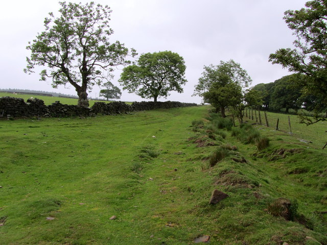
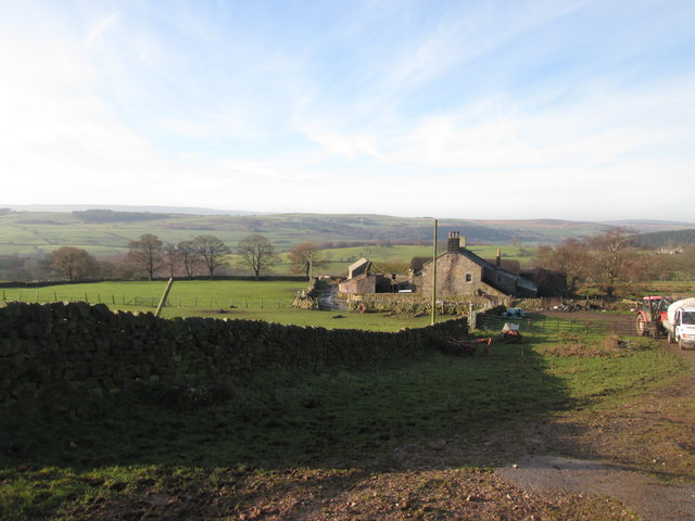
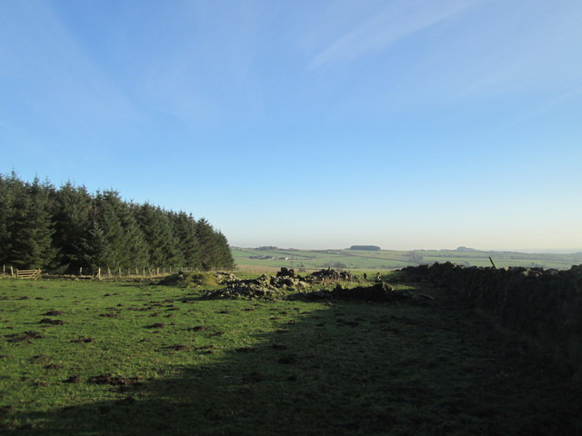
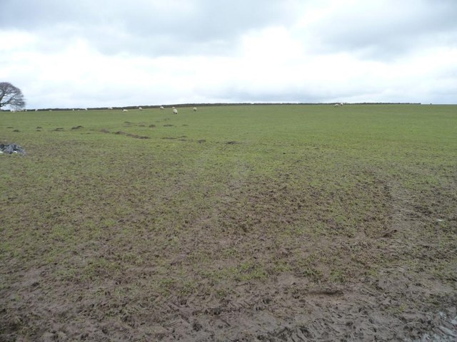
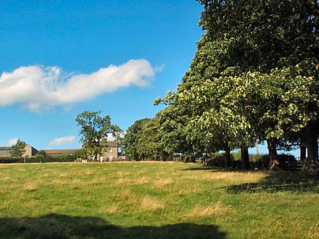
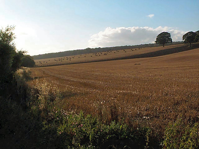
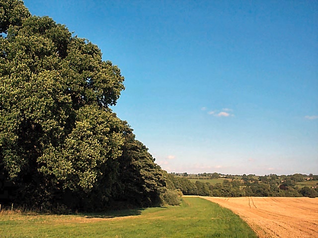
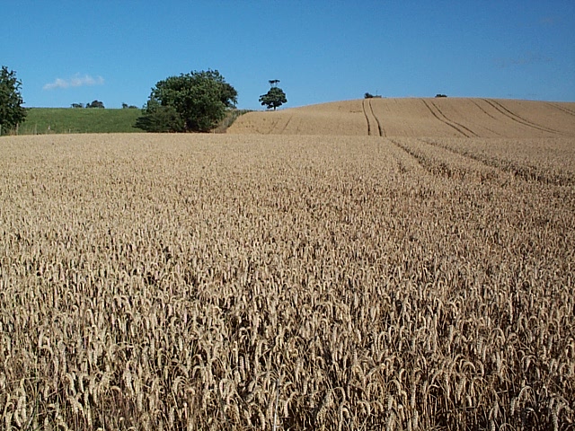
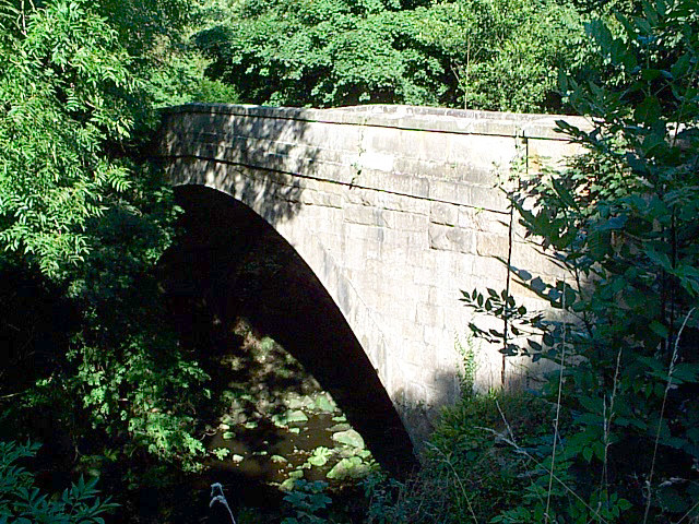
Lindley Bottom is a picturesque valley located in the heart of Yorkshire, England. Nestled between rolling hills and lush green landscapes, this tranquil spot is a haven for nature enthusiasts and those seeking a peaceful retreat.
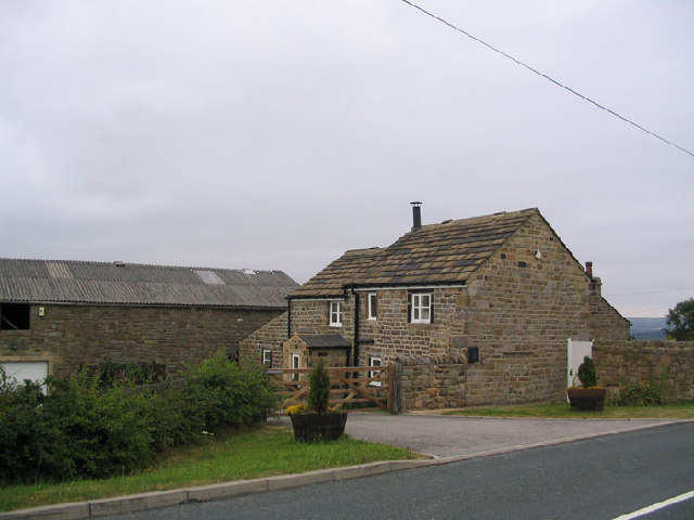
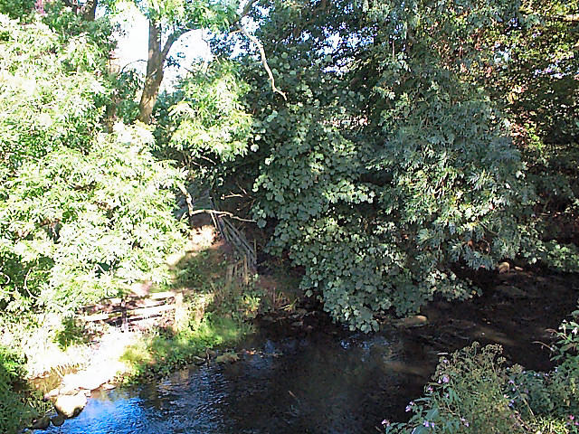
The valley is named after the nearby village of Lindley, which is renowned for its charming stone cottages and historic architecture. Lindley Bottom itself is characterized by its winding river, which meanders through the valley, offering breathtaking views at every turn. The river is a popular spot for fishing and canoeing, attracting visitors from far and wide.
The valley is home to a rich variety of flora and fauna, making it a haven for wildlife enthusiasts. Rare species of birds, such as kingfishers and herons, can often be spotted along the riverbanks, while the surrounding woodlands are home to an array of mammals, including foxes, badgers, and deer.
For those looking to explore the area, Lindley Bottom offers a network of walking trails that wind through the valley and up into the surrounding hills. These trails provide stunning views of the countryside and are suitable for all levels of fitness.
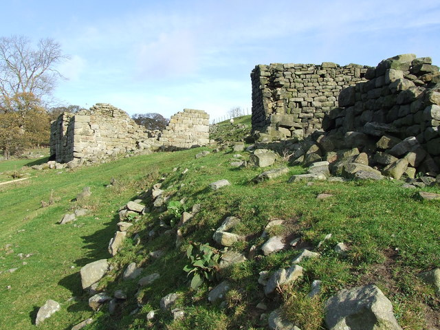
In addition to its natural beauty, Lindley Bottom is also known for its historical significance. The valley was once home to a thriving mining industry, and remnants of old mine workings can still be seen today, adding a touch of nostalgia to the landscape.
Overall, Lindley Bottom is a hidden gem in the Yorkshire countryside, offering a blend of natural beauty, outdoor activities, and a glimpse into the region's rich history.
If you have any feedback on the listing, please let us know in the comments section below.
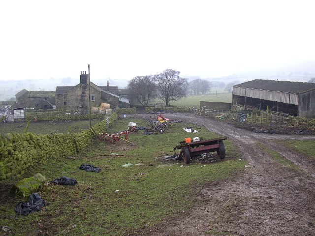
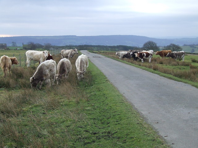
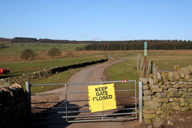
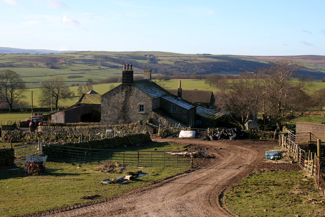
Lindley Bottom Images
Images are sourced within 2km of 53.931376/-1.6620824 or Grid Reference SE2248. Thanks to Geograph Open Source API. All images are credited.

Lindley Bottom is located at Grid Ref: SE2248 (Lat: 53.931376, Lng: -1.6620824)
Division: West Riding
Administrative County: North Yorkshire
District: Harrogate
Police Authority: North Yorkshire
What 3 Words
///forgiving.vital.spell. Near Stainburn, North Yorkshire
Nearby Locations
Related Wikis

Farnley, North Yorkshire
Farnley is a village and civil parish in the Harrogate district of North Yorkshire, England, near Otley, West Yorkshire. The name "Farnley" indicates that...
Lindley, North Yorkshire
Lindley is a village and civil parish in the Harrogate district of North Yorkshire, England. It is near Lindley Wood Reservoir and 1 mile north of Otley...
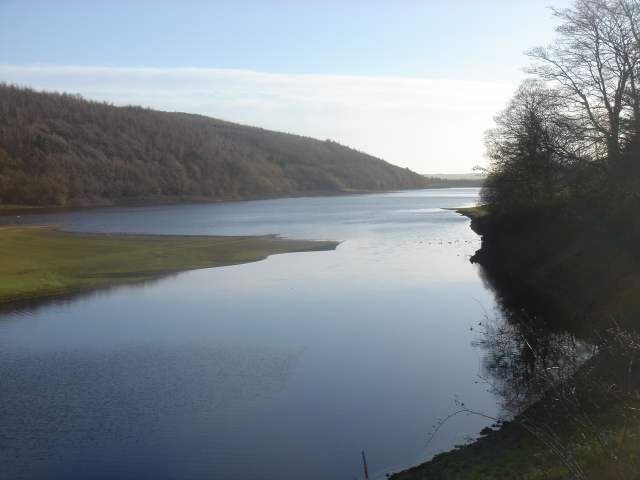
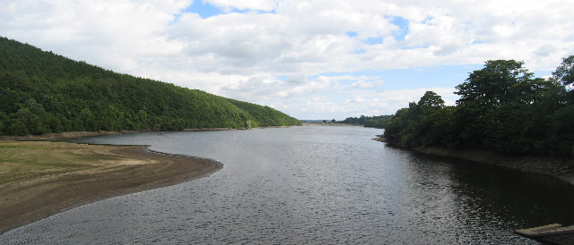
Lindley Wood Reservoir
Lindley Wood Reservoir is located in the Washburn valley north of Otley in Yorkshire, England. == History == The reservoir was built by navvies between...

Farnley Hall, North Yorkshire
Farnley Hall is a stately home in Farnley, North Yorkshire, England. It is located near Otley. The original early seventeenth-century house was added to...

Leathley
Leathley is a village and civil parish in the Harrogate district of North Yorkshire, England, the parish includes the townships of both Castley and Leathley...

Braythorn
Braythorn is a village in the Harrogate district of North Yorkshire, England.

River Washburn
The River Washburn is a river in Yorkshire, England. It originates high in the Yorkshire Dales and ends where it meets the River Wharfe. It lies within...
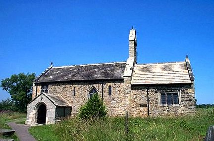
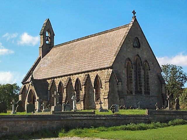
St Mary's Church, Stainburn
St Mary's Church is a redundant Anglican church in the village of Stainburn, North Yorkshire, England. It is recorded in the National Heritage List for...
Nearby Amenities
Located within 500m of 53.931376,-1.6620824Have you been to Lindley Bottom?
Leave your review of Lindley Bottom below (or comments, questions and feedback).