Wigger Dale
Valley in Derbyshire Derbyshire Dales
England
Wigger Dale
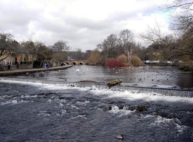
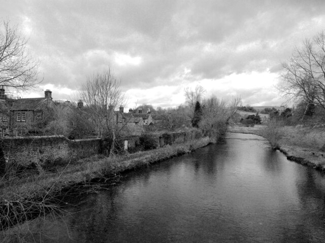
Winger Dale, located in Derbyshire, is a picturesque valley nestled within the heart of the Peak District National Park in England. The valley is known for its idyllic beauty, offering visitors a tranquil and scenic retreat from the hustle and bustle of city life.
With its rolling hills, lush greenery, and meandering river, Winger Dale is a haven for nature enthusiasts and hikers. The valley boasts an extensive network of walking trails that cater to all levels of experience, providing opportunities to explore the stunning landscapes and discover hidden gems along the way.
The area is also home to a diverse array of wildlife, making it a popular spot for birdwatching and wildlife photography. Visitors may catch glimpses of species such as peregrine falcons, dippers, and various butterflies, adding to the allure of the valley.
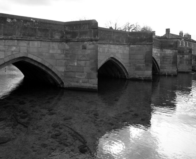
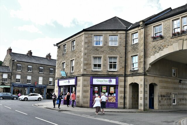
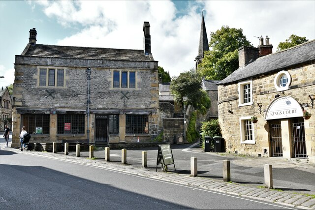
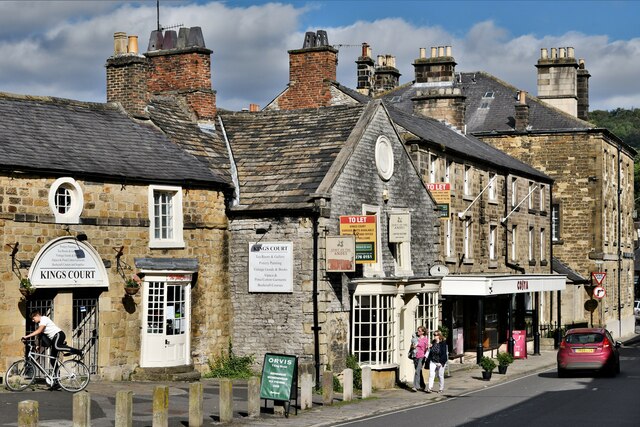
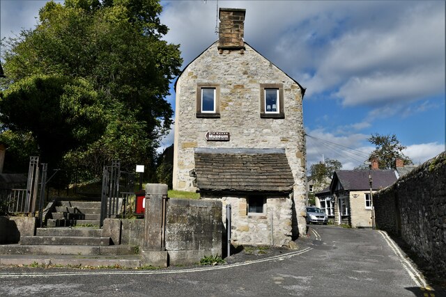
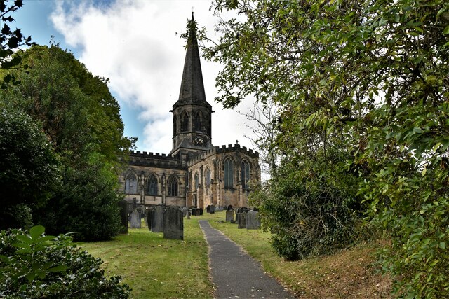
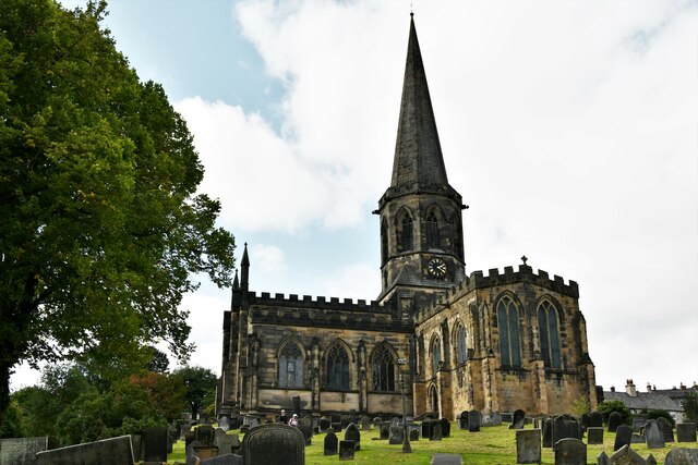
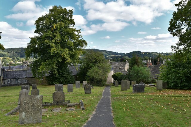
Winger Dale offers visitors more than just natural beauty. The valley is dotted with charming villages and historic landmarks, providing a glimpse into the region's rich history and heritage. From quaint stone cottages to ancient churches and mills, there are numerous points of interest to explore and immerse oneself in the local culture.
Additionally, the valley is a popular destination for rock climbers, with its craggy limestone cliffs offering challenging routes for climbers of all abilities. Adventure seekers can also indulge in activities such as cycling, horse riding, and fishing in the river.
Overall, Winger Dale in Derbyshire offers visitors a serene escape into nature, with its breathtaking landscapes, abundant wildlife, and charming villages. It is a place where one can unwind, reconnect with nature, and create lasting memories.
If you have any feedback on the listing, please let us know in the comments section below.
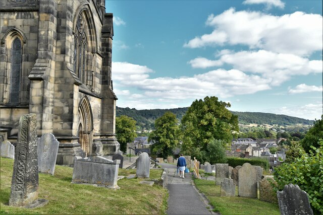
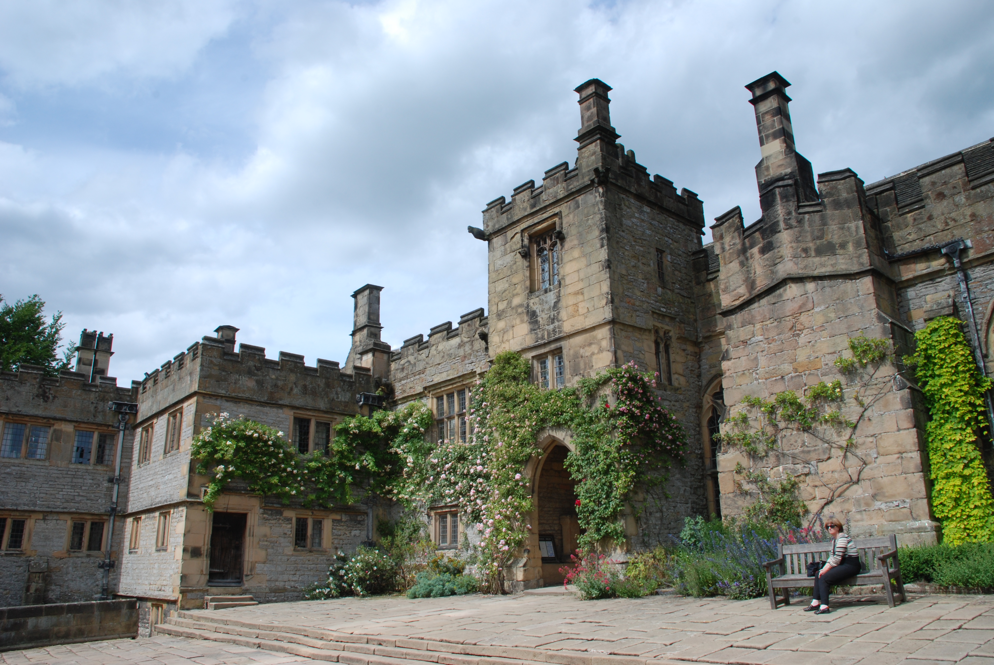
Wigger Dale Images
Images are sourced within 2km of 53.19895/-1.6681202 or Grid Reference SK2266. Thanks to Geograph Open Source API. All images are credited.

Wigger Dale is located at Grid Ref: SK2266 (Lat: 53.19895, Lng: -1.6681202)
Administrative County: Derbyshire
District: Derbyshire Dales
Police Authority: Derbyshire
What 3 Words
///income.glossed.nylon. Near Bakewell, Derbyshire
Nearby Locations
Related Wikis

Burton Closes
Burton Closes is a 19th-century country house, now in use as a residential nursing home, situated at Haddon Road, Bakewell, Derbyshire. It is a Grade II...

Lady Manners School
Lady Manners School is an English secondary school located in Bakewell, a market town in the Peak District National Park, Derbyshire. It was founded on...
Nether Haddon
Nether Haddon is a sparsely populated village and civil parish in Derbyshire, England. It is immediately downstream along the River Wye from the small...
Haddon Hall
Haddon Hall is an English country house on the River Wye near Bakewell, Derbyshire, a former seat of the Dukes of Rutland. It is the home of Lord Edward...
Related Videos
Peak District National Park Hike | England - Best Day Trips from Manchester, Top Hikes in the UK
This is my day trip from Manchester to Peak District National Park. This was a pretty short hike that was cut shorter due to the sun ...
Walking in The Peak District & Exploring Castleton || We are back in the UK!
Today we head out to one of our favourite places in the UK, The Peak District. It's not too far from where we live so we love going ...

Wild Camping and Hiking in Peak District National Park, UK
In this adventure me and Patrick hike our way through the stunning English National Park called Peak District. A mountainous ...
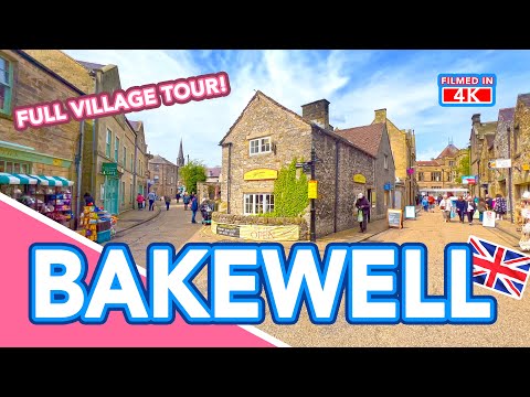
BAKEWELL | Full village tour of Bakewell in the Peak District, Derbyshire, England
BAKEWELL | Full village tour of Bakewell in the Peak District, Derbyshire, England ▻ LIKE AND SUBSCRIBE! Subscribe to our ...
Nearby Amenities
Located within 500m of 53.19895,-1.6681202Have you been to Wigger Dale?
Leave your review of Wigger Dale below (or comments, questions and feedback).