The Map Plantation
Wood, Forest in Derbyshire Derbyshire Dales
England
The Map Plantation
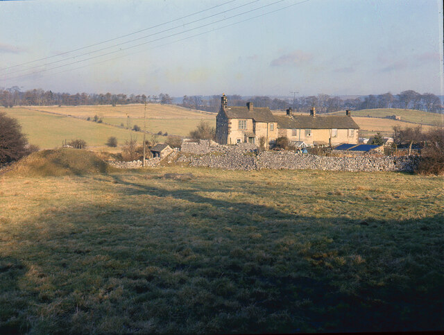
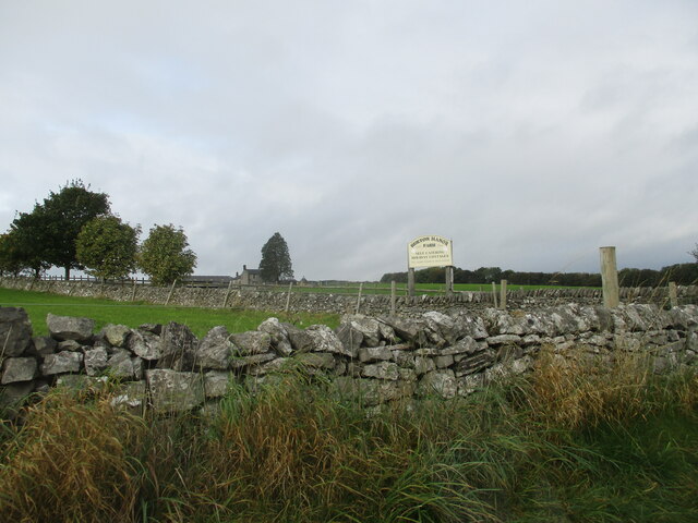
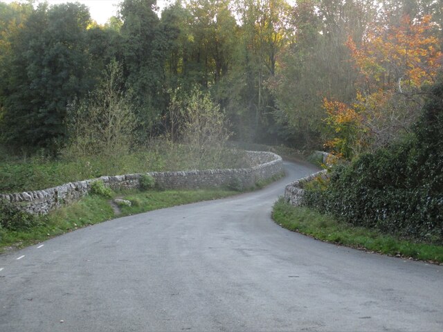
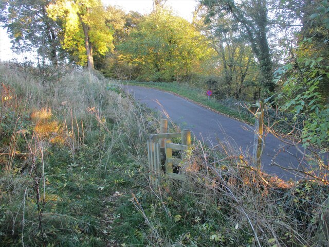
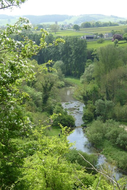
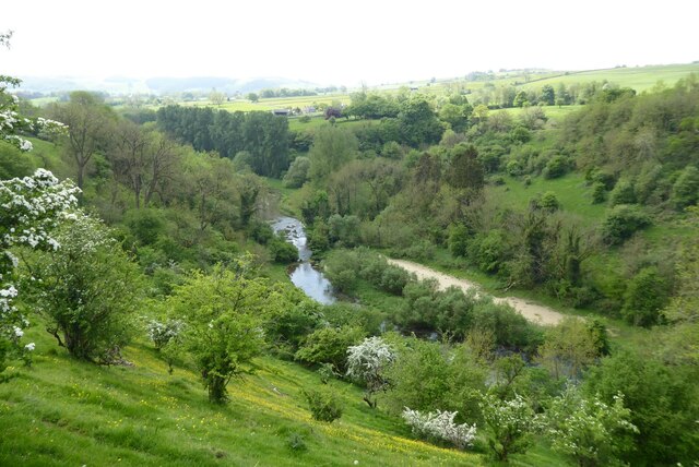
The Map Plantation is a picturesque woodland located in Derbyshire, England. Spanning over a vast area, this plantation is known for its dense and lush forest, making it a popular destination for nature enthusiasts and hikers alike.
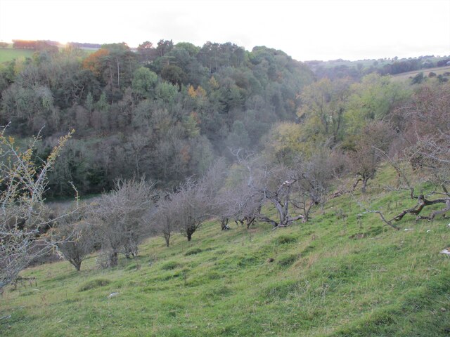
Situated in the heart of Derbyshire, The Map Plantation is characterized by its towering trees and diverse flora. The woodland is primarily composed of broadleaf trees, including oak, ash, and beech, which create a vibrant and colorful landscape throughout the year. The canopy of the forest provides ample shade during the summer months, making it an ideal spot for a leisurely walk or a picnic with family and friends.
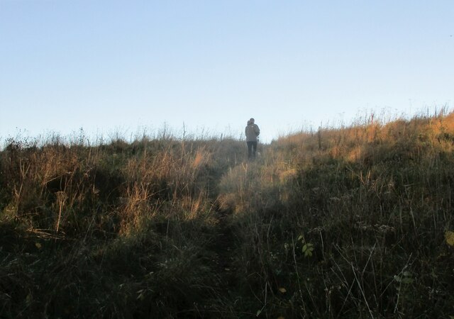
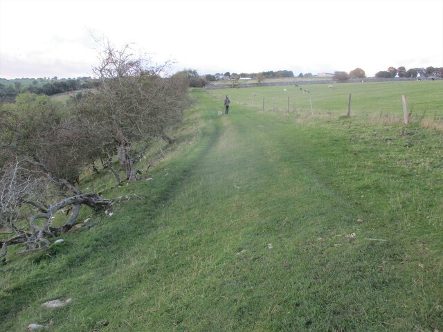
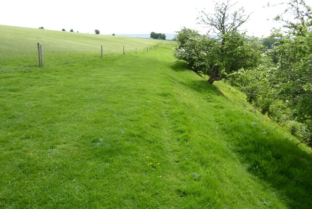
The Map Plantation is also home to a variety of wildlife, including deer, squirrels, and various bird species. Nature enthusiasts can often spot these animals as they explore the woodland trails. Additionally, the plantation boasts a network of well-maintained footpaths and trails, allowing visitors to easily navigate the area and enjoy the serene beauty of nature.
The woodland is easily accessible and offers ample parking for visitors. It is open throughout the year, and there is no entry fee, making it an affordable and enjoyable outing for individuals and families. The plantation is equipped with visitor facilities, such as picnic areas, benches, and information boards, which enhance the overall experience.
Overall, The Map Plantation in Derbyshire is a captivating destination for those seeking tranquility and natural beauty. With its enchanting woodland, diverse wildlife, and well-maintained trails, it is an ideal location to immerse oneself in the wonders of nature.
If you have any feedback on the listing, please let us know in the comments section below.
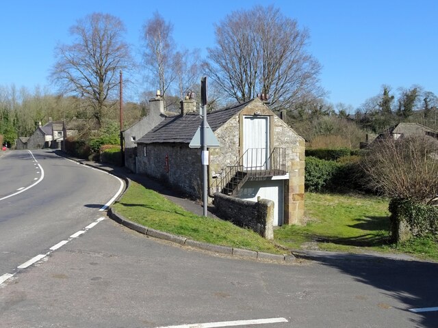
The Map Plantation Images
Images are sourced within 2km of 53.194091/-1.669415 or Grid Reference SK2266. Thanks to Geograph Open Source API. All images are credited.


The Map Plantation is located at Grid Ref: SK2266 (Lat: 53.194091, Lng: -1.669415)
Administrative County: Derbyshire
District: Derbyshire Dales
Police Authority: Derbyshire
What 3 Words
///frogs.prep.amphibian. Near Bakewell, Derbyshire
Nearby Locations
Related Wikis
Nether Haddon
Nether Haddon is a sparsely populated village and civil parish in Derbyshire, England. It is immediately downstream along the River Wye from the small...

Burton Closes
Burton Closes is a 19th-century country house, now in use as a residential nursing home, situated at Haddon Road, Bakewell, Derbyshire. It is a Grade II...
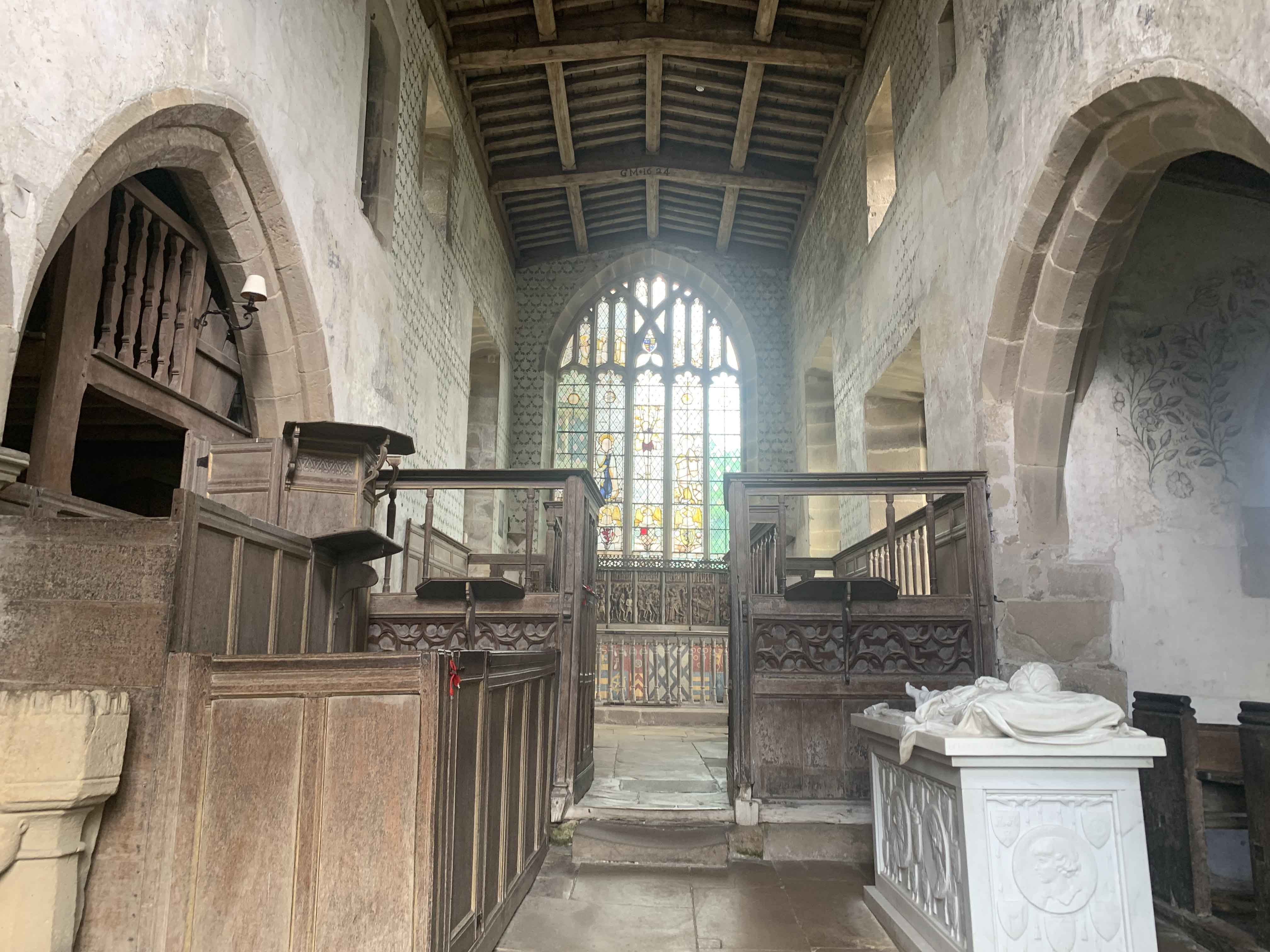
Chapel of St Nicholas, Haddon Hall
The Chapel St John Nicholas, Haddon Hall is a Grade I listed Church of England chapel in Haddon Hall, Derbyshire. The chapel's origins are Norman, with...
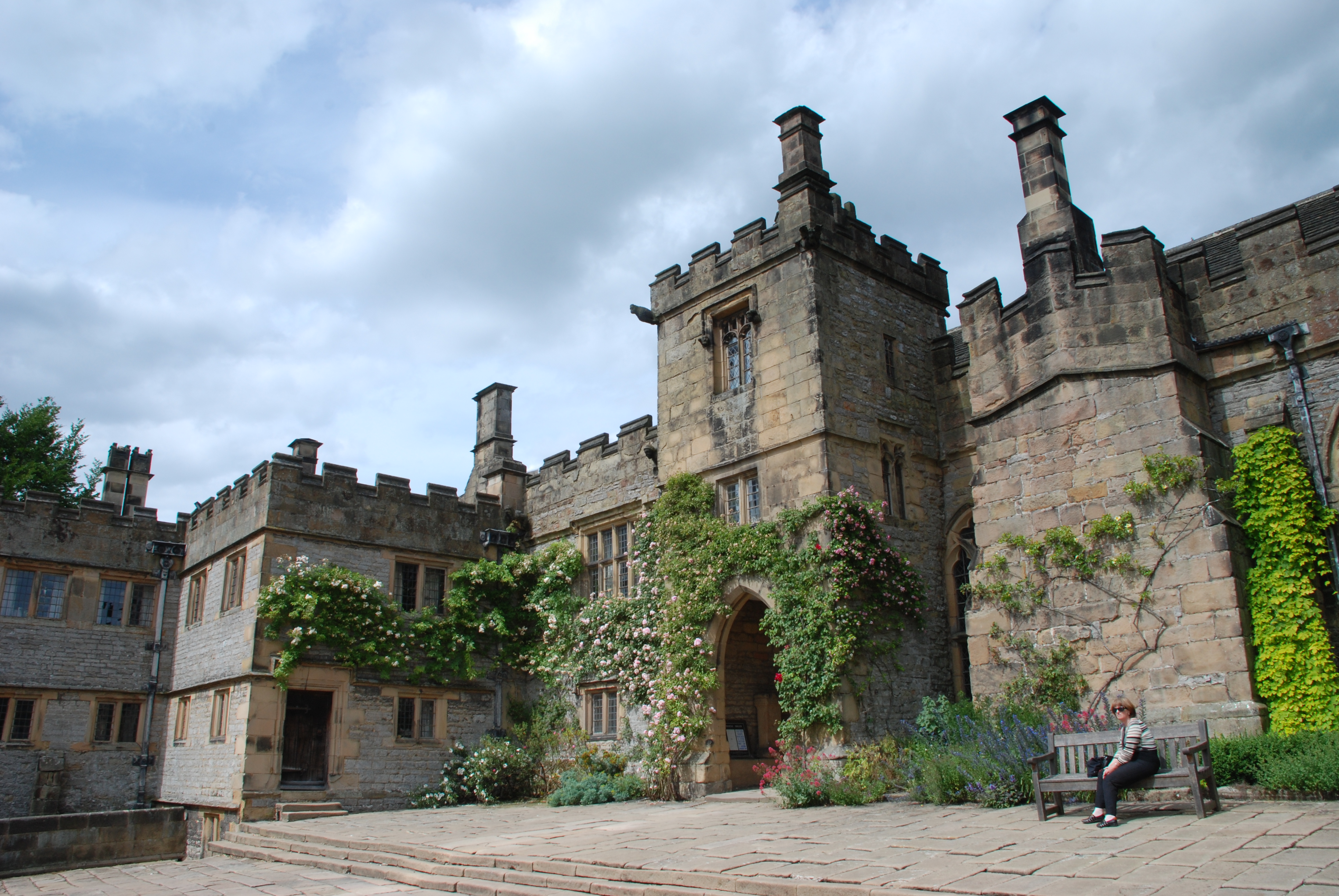
Haddon Hall
Haddon Hall is an English country house on the River Wye near Bakewell, Derbyshire, a former seat of the Dukes of Rutland. It is the home of Lord Edward...
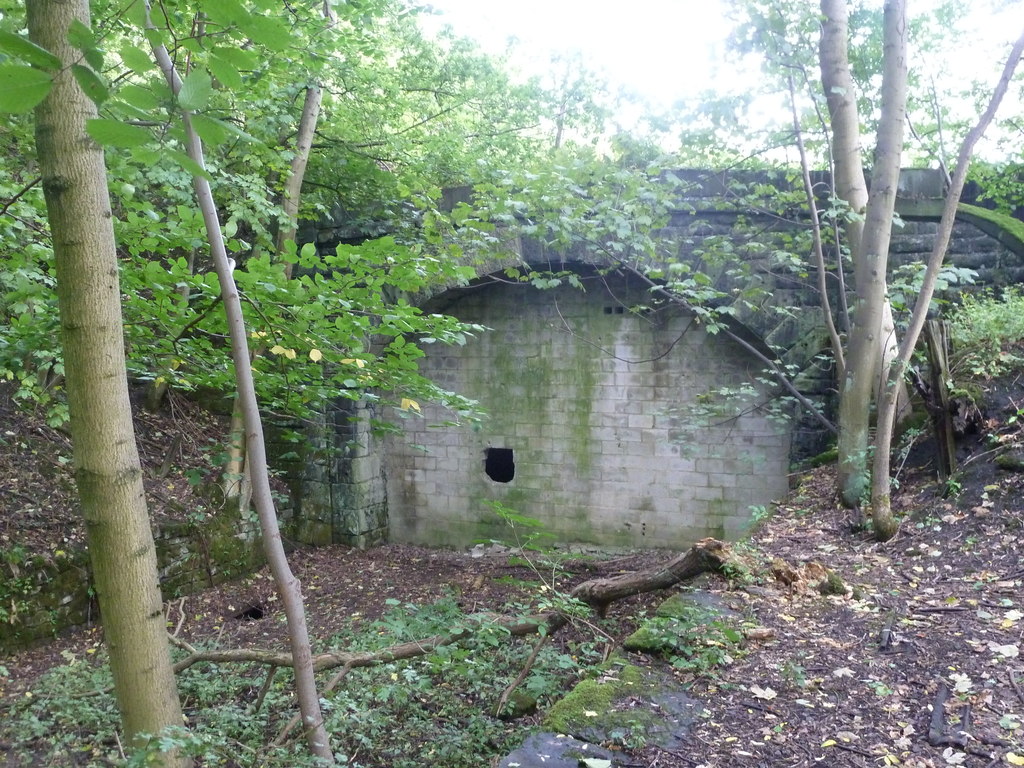
Haddon Tunnel
Haddon Tunnel was built by the Midland Railway in 1863 when extending the Manchester, Buxton, Matlock and Midlands Junction Railway from Rowsley to Buxton...

Lady Manners School
Lady Manners School is an English secondary school located in Bakewell, a market town in the Peak District National Park, Derbyshire. It was founded on...

Over Haddon
Over Haddon is a small village and civil parish in Derbyshire, England. The population of the civil parish (including Nether Haddon) at the 2011 Census...
Alport
Alport is a hamlet in the White Peak area of Derbyshire, England. It lies east of Youlgreave, at the confluence of the River Bradford and the River Lathkill...
Nearby Amenities
Located within 500m of 53.194091,-1.669415Have you been to The Map Plantation?
Leave your review of The Map Plantation below (or comments, questions and feedback).