Bretton Clough

Valley in Derbyshire Derbyshire Dales

England

Bretton Clough

Edge of Abney Moor Grange Farm  over the minor road at SK 190 785
Edge of Abney Moor Credit: Peter Barr

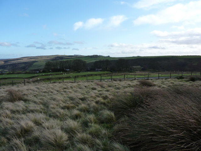
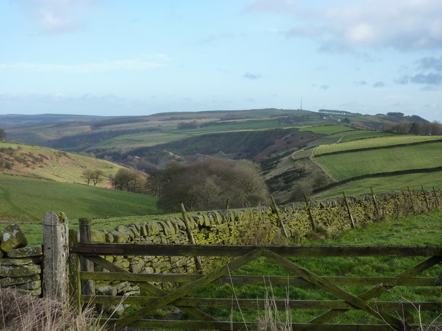
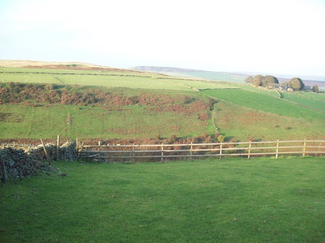
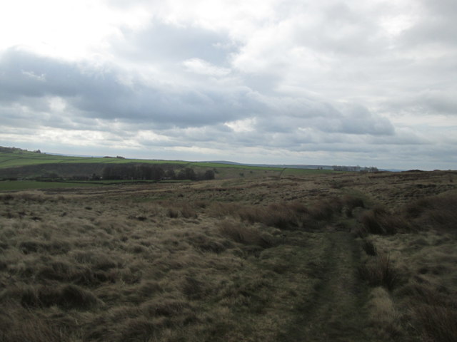
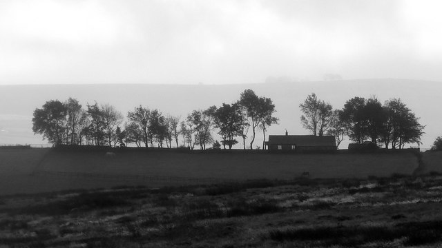
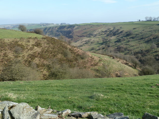
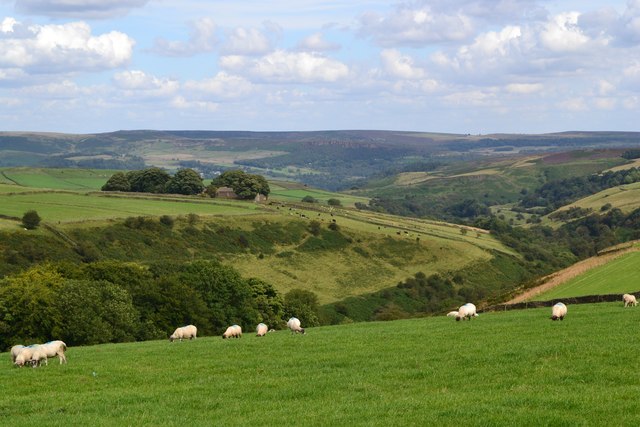
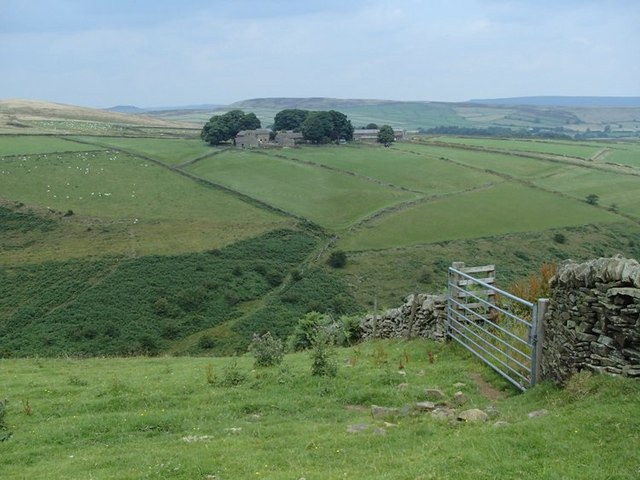
Bretton Clough is a picturesque valley located in the Derbyshire Peak District, England. Nestled amidst the rolling hills and lush greenery, this hidden gem offers a tranquil retreat for nature lovers and outdoor enthusiasts alike.

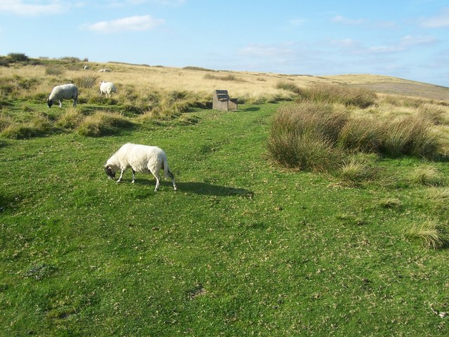
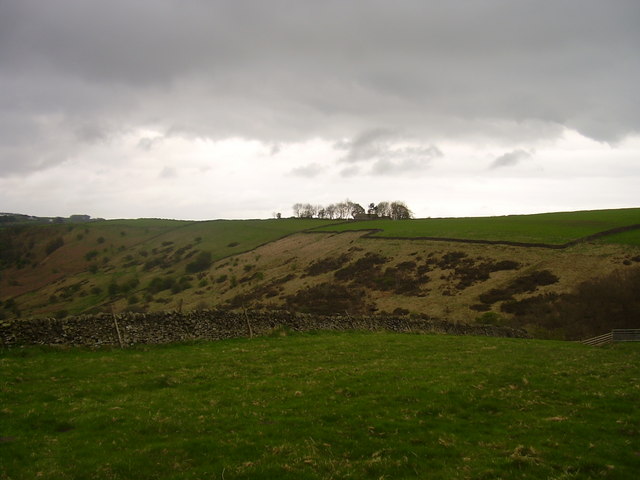
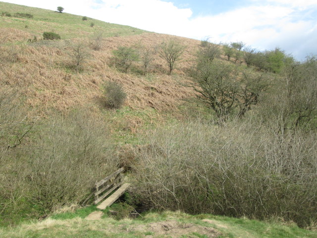
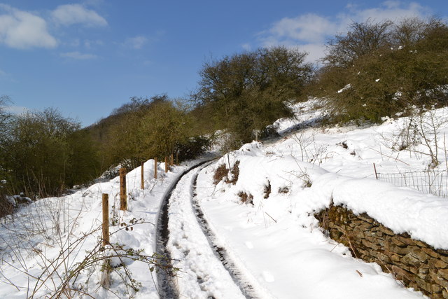
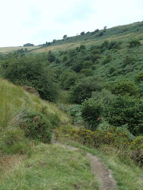
The valley is characterized by its steep sides and a meandering stream, which adds to its charm. Visitors can explore the valley by following the well-marked footpaths that wind through the dense woodlands and open meadows. The area is known for its diverse flora and fauna, with wildflowers, ancient trees, and various bird species being common sights.

One of the notable features of Bretton Clough is the presence of several cascading waterfalls. These natural wonders create a soothing ambiance and provide breathtaking views. The most famous waterfall in the area is Bretton Clough Falls, a majestic cascade that attracts both photographers and hikers.

The valley also boasts a rich history, with evidence of prehistoric settlements and ancient lead mining activities. Visitors can explore the remnants of old mine shafts and other archaeological sites, gaining insight into the area's past.

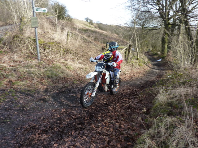
Bretton Clough offers a range of recreational activities for visitors to enjoy. Hiking, birdwatching, and photography are popular pursuits, while the surrounding hills provide opportunities for rock climbing and mountain biking. The valley is also an ideal spot for picnics and family outings, with plenty of open spaces to relax and soak in the natural beauty.

In conclusion, Bretton Clough in Derbyshire is a captivating valley that showcases the beauty of the Peak District. Its stunning landscapes, waterfalls, and historical significance make it a must-visit destination for those seeking a peaceful retreat in a picturesque setting.

If you have any feedback on the listing, please let us know in the comments section below.

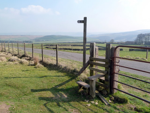
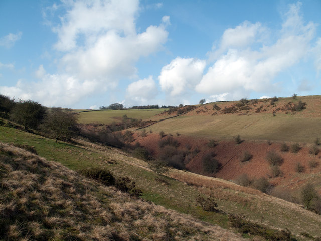
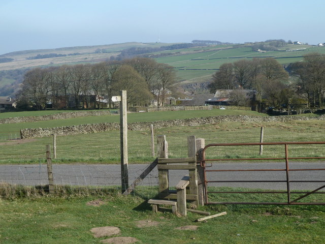
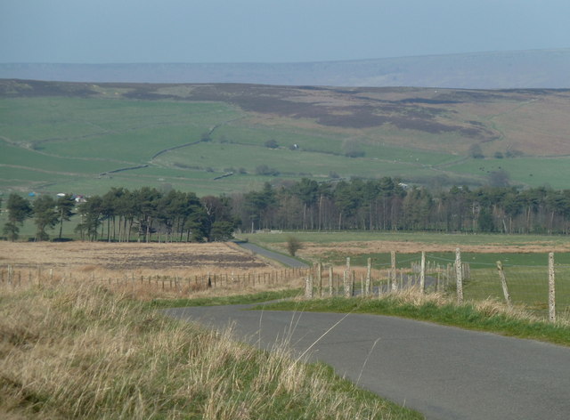
Bretton Clough Images

Images are sourced within 2km of 53.305902/-1.6926535 or Grid Reference SK2078. Thanks to Geograph Open Source API. All images are credited.

Edge of Abney Moor Grange Farm  over the minor road at SK 190 785
Edge of Abney Moor
Grange Farm over the minor road at SK 190 785
Looking east down Bretton Clough The transmitter mast on Sir William Hill, and the Barrel Inn are on the right horizon
Looking east down Bretton Clough
The transmitter mast on Sir William Hill, and the Barrel Inn are on the right horizon
Footpath over Abney Moor
Across Bretton Clough Building on Hucklow Edge.
Across Bretton Clough
Building on Hucklow Edge.
Across the Valley from Hucklow Edge This picture was taken on a fine evening in mid October. Abney Grange (SK1978) is visible on the opposite side of the valley.
Across the Valley from Hucklow Edge
This picture was taken on a fine evening in mid October. Abney Grange (SK1978) is visible on the opposite side of the valley.
Abney Moor towards Abney Grange
Footbridge south of Abney Grange
Trees and cottage on Hucklow Edge Photographed with a long lens from Abney Moor
Trees and cottage on Hucklow Edge
Photographed with a long lens from Abney Moor
Stile and footpath sign near Abney Grange With superb views over to Eyam Moor
Stile and footpath sign near Abney Grange
With superb views over to Eyam Moor
Upper Bretton Clough Bretton Clough is a striking Peak District valley. The upper part of the valley seen here is attractive enough though un-remarkable but to the east the landscape is distorted by ancient landslips.
Upper Bretton Clough
Bretton Clough is a striking Peak District valley. The upper part of the valley seen here is attractive enough though un-remarkable but to the east the landscape is distorted by ancient landslips.
Moorland footpath reaches the lane above Abney Grange The stile crosses the fence onto the straight moorland road across gently graded slopes.
Moorland footpath reaches the lane above Abney Grange
The stile crosses the fence onto the straight moorland road across gently graded slopes.
Lane crossing Abney Moor The lane descends gradually in a northeasterly direction.
Lane crossing Abney Moor
The lane descends gradually in a northeasterly direction.
Upper part of Bretton Clough A deep valley gouged into open moorland.  Seen from a path taking a more direct route than the lane.
Upper part of Bretton Clough
A deep valley gouged into open moorland. Seen from a path taking a more direct route than the lane.
Snowy track below Hucklow Edge
Abney Grange and Bretton Clough seen from the west
Illegal trail bike riding There are signs at both ends of this track, stating that it is illegal to drive or ride any mechanically propelled vehicle. So along comes one, who gives us the finger, and then the second one slows down as he spots the camera. "There's no sign at the other end" he claims, "so I'm not doing owt illegal". I tell him I'll have a look for the absent sign at the other end of the track.(There is a sign !) We exchange further pleasantries, while the child sitting on the fuel tank learns about telling lies, putting two fingers up at the law, and how to argue one's case in a positive yet assertive manner (unlike dad).Oh , and there is no number plate on the bike.
This is on Hucklow Edge.
It is ironic that there was a protest meeting at the HQ of the Peak Park Authority last week, where trail riders and 4*4 drivers said they wanted to enjoy themselves responsibly and within the law.
Illegal trail bike riding
There are signs at both ends of this track, stating that it is illegal to drive or ride any mechanically propelled vehicle. So along comes one, who gives us the finger, and then the second one slows down as he spots the camera. "There's no sign at the other end" he claims, "so I'm not doing owt illegal". I tell him I'll have a look for the absent sign at the other end of the track.(There is a sign !) We exchange further pleasantries, while the child sitting on the fuel tank learns about telling lies, putting two fingers up at the law, and how to argue one's case in a positive yet assertive manner (unlike dad).Oh , and there is no number plate on the bike. This is on Hucklow Edge. It is ironic that there was a protest meeting at the HQ of the Peak Park Authority last week, where trail riders and 4*4 drivers said they wanted to enjoy themselves responsibly and within the law.
Start of path to Abney Grange A deep valley intervenes, which is the head of Bretton Clough.  The descent from this side, heading north, is particularly steep.
Start of path to Abney Grange
A deep valley intervenes, which is the head of Bretton Clough. The descent from this side, heading north, is particularly steep.
Crossing the upper reaches of Bretton Clough The footpath heads briefly upstream before crossing a footbridge just out of sight among bushes.
Crossing the upper reaches of Bretton Clough
The footpath heads briefly upstream before crossing a footbridge just out of sight among bushes.
Show me another place!

Bretton Clough is located at Grid Ref: SK2078 (Lat: 53.305902, Lng: -1.6926535)

Administrative County: Derbyshire

District: Derbyshire Dales

Police Authority: Derbyshire

What 3 Words

///conned.introduce.bars. Near Hathersage, Derbyshire

Related Wikis

Abney, Derbyshire

Abney (Old English Abba's Island) is a village in the English county of Derbyshire. The settlement was mentioned as Habenai in the Domesday book of 1086...

Abney and Abney Grange

Abney and Abney Grange is a civil parish in the Derbyshire Dales district of Derbyshire, England. It covers the villages of Abney and Abney Grange....

Eyam Moor

Eyam Moor is a plateau-topped hill between the villages of Eyam and Hathersage in Derbyshire, in the Peak District of England. The summit of Sir William...

Highlow

Highlow is a civil parish within the Derbyshire Dales district, in the county of Derbyshire, England. Largely rural, Highlow's population is reported with...
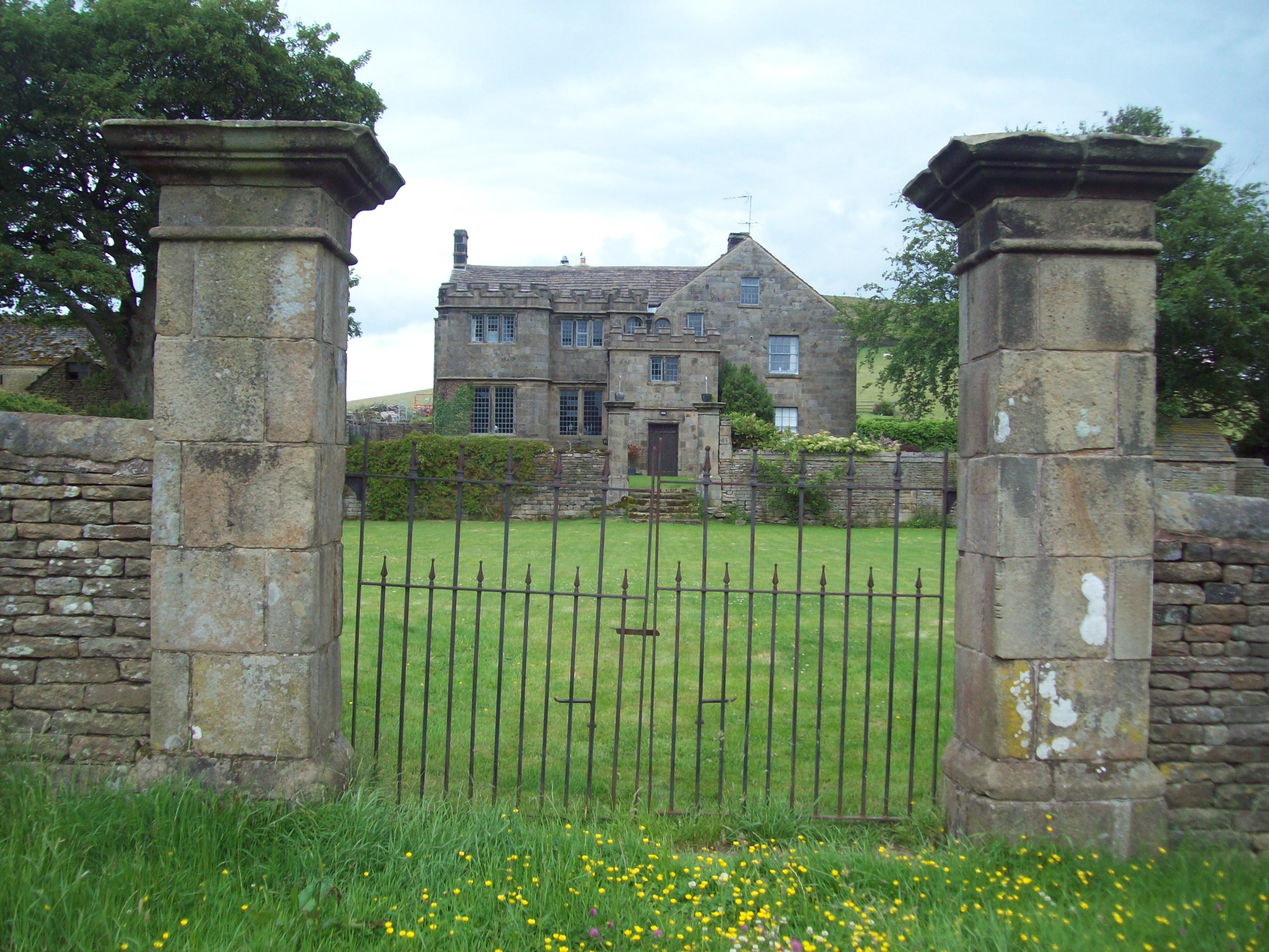
Highlow Hall

Highlow Hall is a historic Elizabethan manor house in Highlow civil parish, near Hathersage, Derbyshire, England. It was owned by the Eyre family from...

Bretton Brook

Bretton Brook is a stream flowing through Bretton in the Derbyshire Peak District. The stream is a tributary of the Highlow Brook, which is a direct...

Highlow Brook

Highlow Brook is a stream in the civil parish of Highlow in the Derbyshire Peak District. The stream is a tributaries of the River Derwent, flowing southeast...

Wet Withens

Wet Withens is a Bronze Age henge on Eyam Moor in the Derbyshire Peak District, England. The prehistoric circle of 10 upright stones (orthostats) is a...

Nearby Amenities

Located within 500m of 53.305902,-1.6926535
Barrier: kissing_gate
Foot: yes
Lat/Long: 53.3069209/-1.686631
Barrier: stile
Dog Gate: yes
Note: Access land NE
Steps: 2
Stile: stepover
Lat/Long: 53.3018968/-1.6941148
Barrier: kissing_gate
Foot: yes
Lat/Long: 53.3051051/-1.6859166
Ele: 250.7877197
Lat/Long: 53.3049052/-1.698137
Ele: 263.2847900
Lat/Long: 53.3052154/-1.6969123
Ele: 260.6411133
Lat/Long: 53.3053387/-1.6966057
Ele: 267.3703613
Lat/Long: 53.3050649/-1.6946596
Ele: 257.9975586
Lat/Long: 53.3051872/-1.6941944
Ele: 289.9611816
Lat/Long: 53.3036296/-1.6991344
Bench
Backrest: yes
Ele: 327.9328613
Lat/Long: 53.3023599/-1.6941897
Ele: 296.6903076
Lat/Long: 53.3026325/-1.6934687
Ele: 311
Lat/Long: 53.3017539/-1.6933054
Barrier: stile
Fixme: stile is just a few stone either side of a wire fence.
Source: survey;gps
Stile: stepover
Lat/Long: 53.3052119/-1.6938436
Barrier: kissing_gate
Lat/Long: 53.3058202/-1.6942172
Barrier: stile
Stile: stepover
Lat/Long: 53.3068347/-1.6894793
Ford: yes
Lat/Long: 53.3077732/-1.6877117
Barrier: stile
Stile: stepover
Lat/Long: 53.3078114/-1.687309
Ford: yes
Lat/Long: 53.3028333/-1.6932328
The data included in this document is from www.openstreetmap.org. The data is made available under ODbL.

Have you been to Bretton Clough?

Leave your review of Bretton Clough below (or comments, questions and feedback).