Sugden Clough

Valley in Yorkshire

England

Sugden Clough

Old Boundary Marker on Candlerush Edge, Bleaklow Estate Boundary Marker on Candlerush Edge, Bleaklow, 1860 metres north-northeast of Margery Hill. Bradfield parish. R R W refers to R R Wilson, the owner of the Broomhead Estate at the end of the 19C.

Milestone Society National ID: YW_BRA43em
Old Boundary Marker on Candlerush Edge, Bleaklow Credit: D Garside

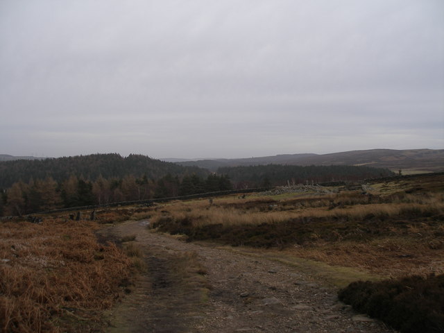
Sugden Clough is a picturesque valley located in the county of Yorkshire, England. Situated within the larger area of West Yorkshire, the valley is known for its stunning natural beauty and tranquil atmosphere. Nestled between rolling hills and meandering streams, Sugden Clough offers visitors a serene escape from the hustle and bustle of city life.

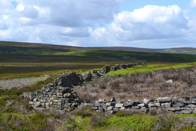
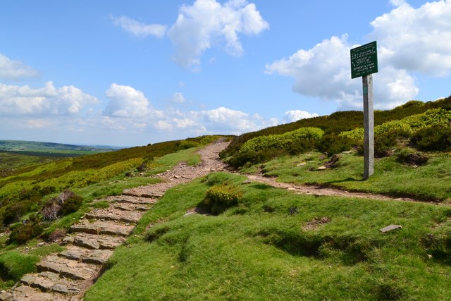
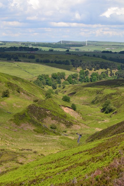
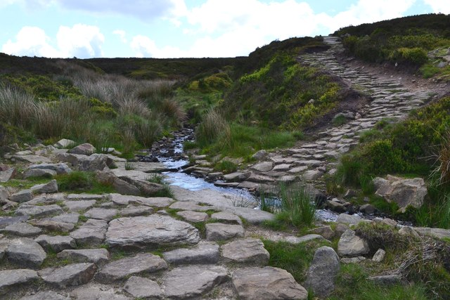
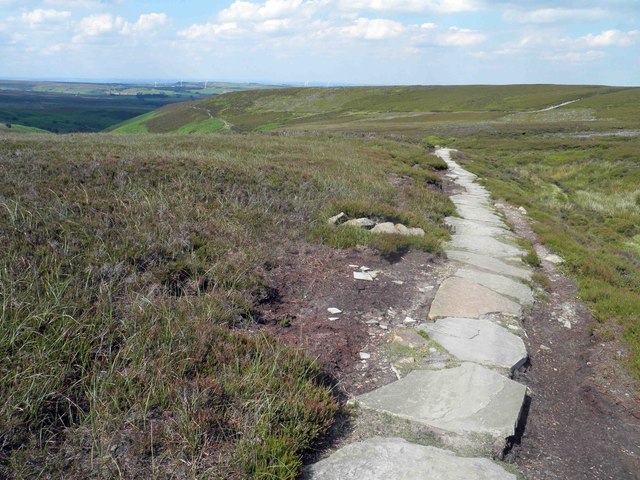
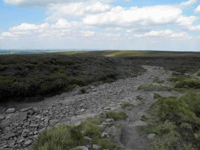
The valley is characterized by its lush greenery and diverse wildlife, making it a popular destination for nature enthusiasts and hikers. The landscape is dotted with ancient woodlands, providing a habitat for a variety of plant and animal species. Visitors can explore the numerous walking trails that crisscross the valley, offering breathtaking views of the surrounding countryside.

In addition to its natural beauty, Sugden Clough is also home to several historical landmarks. The remains of an ancient Roman fort can be found within the valley, offering a glimpse into the area's rich past. The valley also boasts a number of charming villages and hamlets, where visitors can discover traditional Yorkshire architecture and enjoy the warm hospitality of the locals.

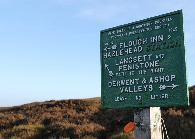
Sugden Clough is easily accessible by road, with ample parking available for visitors. The valley is a popular destination for day trips and provides a peaceful retreat for those seeking solace in nature. Whether it's exploring the walking trails, immersing oneself in the stunning scenery, or learning about the valley's history, Sugden Clough offers a truly unforgettable experience for all who visit.

If you have any feedback on the listing, please let us know in the comments section below.

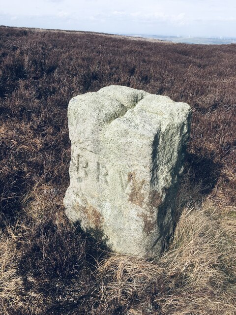
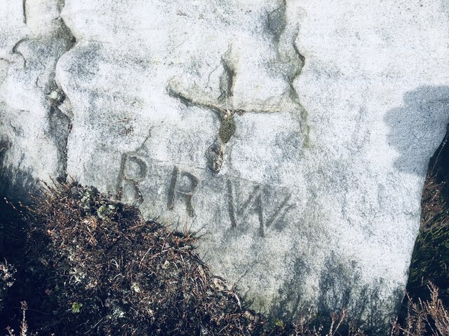
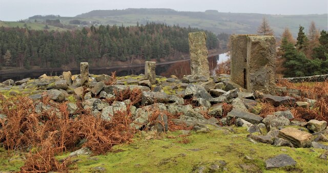
Sugden Clough Images

Images are sourced within 2km of 53.477881/-1.6926035 or Grid Reference SK2097. Thanks to Geograph Open Source API. All images are credited.

Old Boundary Marker on Candlerush Edge, Bleaklow Estate Boundary Marker on Candlerush Edge, Bleaklow, 1860 metres north-northeast of Margery Hill. Bradfield parish. R R W refers to R R Wilson, the owner of the Broomhead Estate at the end of the 19C.

Milestone Society National ID: YW_BRA43em
Old Boundary Marker on Candlerush Edge, Bleaklow
Estate Boundary Marker on Candlerush Edge, Bleaklow, 1860 metres north-northeast of Margery Hill. Bradfield parish. R R W refers to R R Wilson, the owner of the Broomhead Estate at the end of the 19C. Milestone Society National ID: YW_BRA43em
Old Boundary Marker on Candlerush Edge, Bleaklow Estate Boundary Marker on Candlerush Edge, Bleaklow, 2100 metres northeast of Margery Hill. Bradfield parish. R R W refers to R R Wilson, the owner of the Broomhead Estate at the end of the 19C. See also <a title="https://www.geograph.org.uk/photo/398943" href="https://www.geograph.org.uk/photo/398943">Link</a>.

Milestone Society National ID: YW_BRA44em
Old Boundary Marker on Candlerush Edge, Bleaklow
Estate Boundary Marker on Candlerush Edge, Bleaklow, 2100 metres northeast of Margery Hill. Bradfield parish. R R W refers to R R Wilson, the owner of the Broomhead Estate at the end of the 19C. See also Link. Milestone Society National ID: YW_BRA44em
Old Boundary Marker on Candlerush Edge, Bleaklow Estate Boundary Marker on Candlerush Edge, Bleaklow, 2100 metres east-northeast of Margery Hill. Bradfield parish. R R W refers to R R Wilson, the owner of the Broomhead Estate at the end of the 19C.

Milestone Society National ID: YW_BRA45em
Old Boundary Marker on Candlerush Edge, Bleaklow
Estate Boundary Marker on Candlerush Edge, Bleaklow, 2100 metres east-northeast of Margery Hill. Bradfield parish. R R W refers to R R Wilson, the owner of the Broomhead Estate at the end of the 19C. Milestone Society National ID: YW_BRA45em
The Langsett Memory Tree The Langsett Memory Tree (an old fir tree) gains many ornaments over the Christmas period.
The Langsett Memory Tree
The Langsett Memory Tree (an old fir tree) gains many ornaments over the Christmas period.
The ruins of North America The ruins of North America above Langsett Reservoir. In the nineteenth century, outlying farms were often named after far-away places.
The ruins of North America
The ruins of North America above Langsett Reservoir. In the nineteenth century, outlying farms were often named after far-away places.
On the way to North America
Old boundary walls west of Calf Knoll
Junction of paths - Mickleden Edge
The Mickleden Valley
Cut Gate Path crosses a short ford
Cyclist at a ford on Cut Gate Path
Path sign on Mickleden Edge Path sign on Mickleden Edge. Hazlehead Station is long closed.
Path sign on Mickleden Edge
Path sign on Mickleden Edge. Hazlehead Station is long closed.
Cut gate path paved section A rocky and at times muddy historic crossing from Penistone to the Derwent Valley.
Cut gate path paved section
A rocky and at times muddy historic crossing from Penistone to the Derwent Valley.
A dry Cut Gate bridleway near Lost Lad
With temperatures around 26 degrees time for a rest on Cut Gate
A dry day on a rock free part of Cut Gate
Moorland alongside Cut Gate looking North
Cut Gate path with ford ahead but very dry today
Show me another place!

Sugden Clough is located at Grid Ref: SK2097 (Lat: 53.477881, Lng: -1.6926035)

Division: West Riding

Unitary Authority: Sheffield

Police Authority: South Yorkshire

What 3 Words

///bring.thinker.rainwater. Near Stocksbridge, South Yorkshire

Nearby Locations

Sugden Clough Pike Lowe

Related Wikis

Langsett Reservoir

Langsett Reservoir is in Yorkshire, England, near the villages of Langsett and Upper Midhope, on the edge of the Peak District National Park. The reservoir...

Upper Midhope

Upper Midhope (archaic Over Midhope) is a village in the civil parish of Bradfield within the Stocksbridge and Upper Don electoral ward in the borough...

Langsett

Langsett is a village and civil parish near Penistone in South Yorkshire. It lies near the southern edge of the Metropolitan Borough of Barnsley and on...

Margery Hill

Margery Hill is a 546-metre (1,791 ft) hill on the Howden Moors in South Yorkshire, England. It lies towards the northern boundary of the Peak District...

Midhopestones

Midhopestones (archaic Nether Midhope, also Middup, or Middop) is a village in the civil parish of Bradfield within the Stocksbridge and Upper Don electoral...

St James' Church, Midhopestones

St James’ Church, Midhopestones is situated in the small rural hamlet of Midhopestones, just within the northern boundary of the City of Sheffield in South...

High Stones

High Stones, at 548 metres (1,798 ft), is the highest point within the boundaries of both the City of Sheffield and South Yorkshire, England.High Stones...

Howden Edge

Howden Edge (grid reference SK187943) is a peak in the north-east of the Upper Derwent Valley area of the Peak District National Park in England. At 545...

Nearby Amenities

Located within 500m of 53.477881,-1.6926035
Hunting Stand
Hunting Stand: grouse_butt
Lat/Long: 53.478551/-1.6931433
Hunting Stand
Hunting Stand: grouse_butt
Lat/Long: 53.4794906/-1.6923539
Hunting Stand
Hunting Stand: grouse_butt
Lat/Long: 53.477506/-1.6944576
Hunting Stand
Hunting Stand: grouse_butt
Lat/Long: 53.4804174/-1.6915813
Hunting Stand
Hunting Stand: grouse_butt
Lat/Long: 53.4765701/-1.6960828
Hunting Stand
Hunting Stand: grouse_butt
Lat/Long: 53.4791704/-1.692616
Hunting Stand
Hunting Stand: grouse_butt
Lat/Long: 53.4778026/-1.6939214
Hunting Stand
Hunting Stand: grouse_butt
Lat/Long: 53.4801027/-1.6918496
Hunting Stand
Hunting Stand: grouse_butt
Lat/Long: 53.4768853/-1.6955383
Hunting Stand
Hunting Stand: grouse_butt
Lat/Long: 53.4810386/-1.6910632
Hunting Stand
Hunting Stand: grouse_butt
Lat/Long: 53.4788621/-1.6928858
Hunting Stand
Hunting Stand: grouse_butt
Lat/Long: 53.4797907/-1.6920994
Hunting Stand
Hunting Stand: grouse_butt
Lat/Long: 53.4771995/-1.6949758
Hunting Stand
Hunting Stand: grouse_butt
Lat/Long: 53.480722/-1.6913376
The data included in this document is from www.openstreetmap.org. The data is made available under ODbL.

Have you been to Sugden Clough?

Leave your review of Sugden Clough below (or comments, questions and feedback).