Rainbow Bottom
Valley in Wiltshire
England
Rainbow Bottom
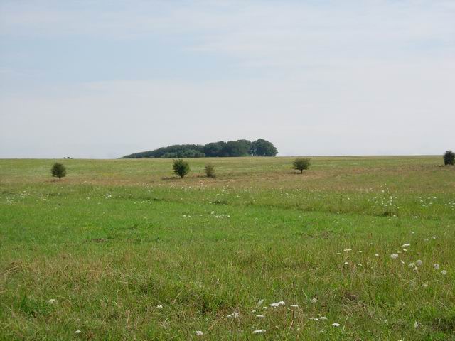
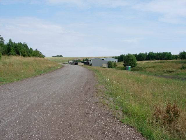
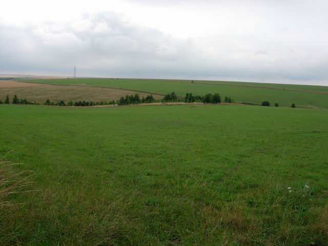
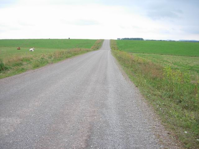
Rainbow Bottom is a picturesque valley located in the county of Wiltshire, England. Nestled in the heart of the countryside, this idyllic spot is renowned for its natural beauty and tranquility.
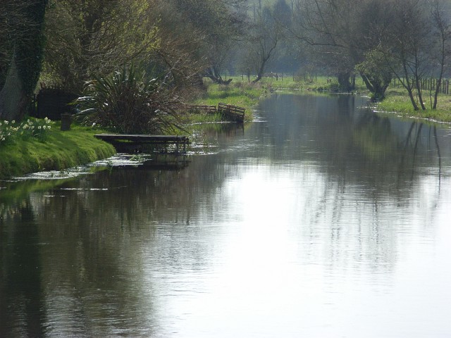
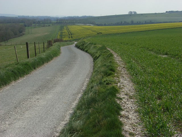
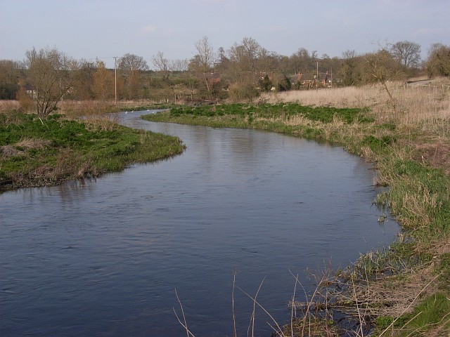
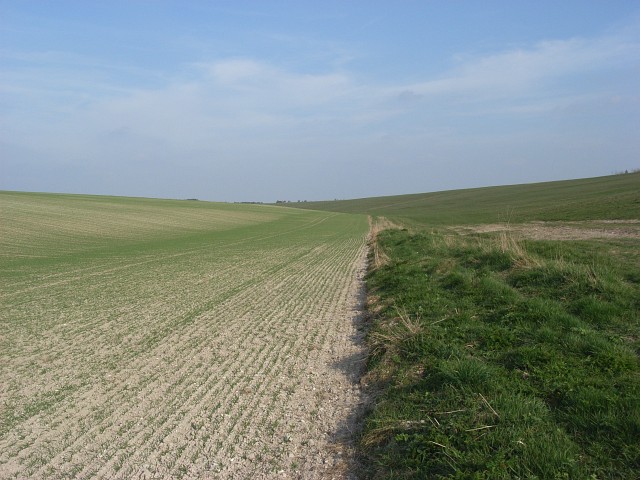
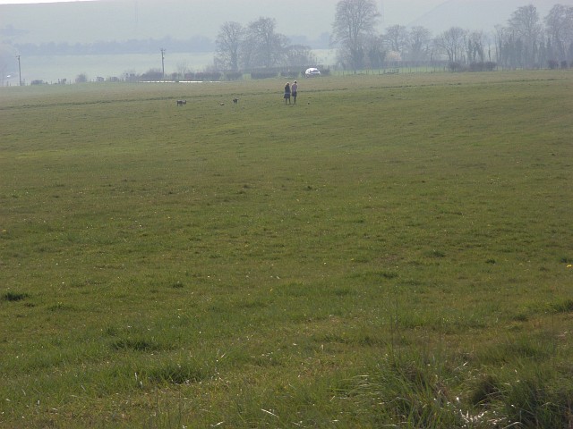
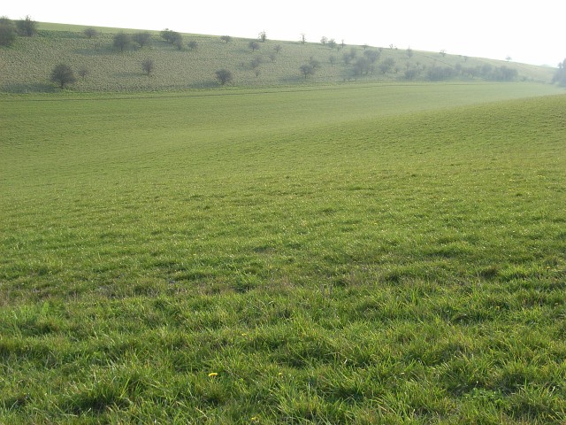
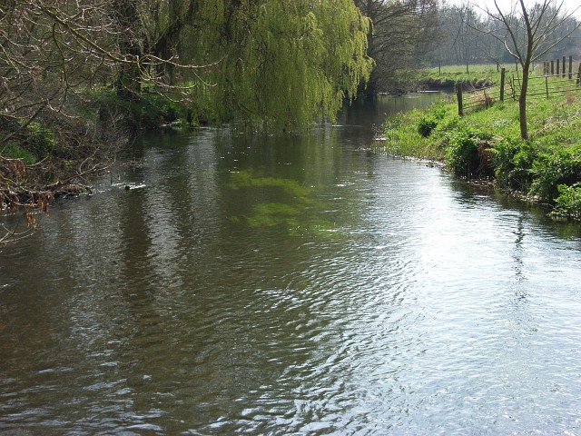
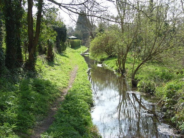
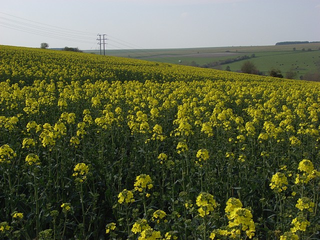
The valley is characterized by its rolling hills, lush green meadows, and meandering streams that wind their way through the landscape. The area is rich in wildlife, with an abundance of birds, butterflies, and other small creatures that call this valley home. The diverse range of plant species adds to the vibrant colors and atmosphere of Rainbow Bottom.
At the heart of the valley lies a charming village that bears the same name. The village consists of a small cluster of traditional cottages, each adorned with colorful gardens that reflect the charm and character of the area. The community is close-knit, with a friendly and welcoming atmosphere.
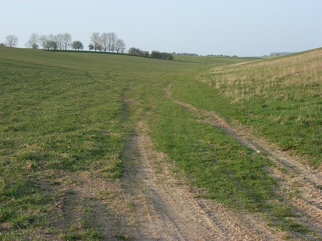
Rainbow Bottom is a popular destination for nature lovers and outdoor enthusiasts. The valley offers a network of walking trails that allow visitors to explore its natural wonders. From gentle strolls to more challenging hikes, there is something for everyone to enjoy. The valley also provides opportunities for cycling, horseback riding, and picnicking in the tranquil surroundings.
In addition to its natural beauty, Rainbow Bottom is known for its local produce. The valley is home to several farms that produce high-quality organic fruits, vegetables, and dairy products. Visitors can enjoy farm-to-table dining experiences and purchase fresh produce directly from the farmers.
Overall, Rainbow Bottom is a hidden gem in Wiltshire, offering a peaceful escape from the hustle and bustle of city life. With its stunning scenery, friendly community, and outdoor recreational opportunities, it is a destination that appeals to both locals and tourists alike.
If you have any feedback on the listing, please let us know in the comments section below.
Rainbow Bottom Images
Images are sourced within 2km of 51.265901/-1.7780491 or Grid Reference SU1551. Thanks to Geograph Open Source API. All images are credited.
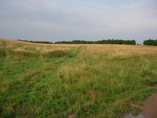
Rainbow Bottom is located at Grid Ref: SU1551 (Lat: 51.265901, Lng: -1.7780491)
Unitary Authority: Wiltshire
Police Authority: Wiltshire
What 3 Words
///candles.tomato.blurts. Near Rushall, Wiltshire
Nearby Locations
Related Wikis
Coombe, Enford
Coombe is a hamlet of the civil parish of Enford, Wiltshire, England, about 13 miles (21 km) north of the cathedral city of Salisbury. It lies on the River...
Enford
Enford is a village and civil parish in Wiltshire, England, in the northeast of Salisbury Plain. The village lies 10 miles (16 km) southeast of Devizes...
Chisenbury Priory
Chisenbury Priory is a Grade II* listed house in East Chisenbury, Wiltshire, England. It dates from the later seventeenth century with a mid eighteenth...
A345 road
The A345 is a secondary A road in Wiltshire, England running from Salisbury to Marlborough and the A4. The road is a main south–north link across Salisbury...
Chisenbury Camp
Chisenbury Camp is the site of an Iron Age univallate hillfort in Broad Chalke parish in Wiltshire, England. The site comprises a small circular 5-acre...
Fittleton cum Haxton
Fittleton cum Haxton is a civil parish in Wiltshire, England, 12 miles (19 km) north of Salisbury. The parish contains the adjacent settlements of Fittleton...
Netheravon Airfield
Netheravon Airfield is a Ministry of Defence grass strip airfield on Salisbury Plain, in Wiltshire, England. Established in 1913 by the Royal Flying Corps...
RAF Upavon
Royal Air Force Upavon, or more simply RAF Upavon, is a former Royal Air Force station in Wiltshire, England. It was a grass airfield, military flight...
Nearby Amenities
Located within 500m of 51.265901,-1.7780491Have you been to Rainbow Bottom?
Leave your review of Rainbow Bottom below (or comments, questions and feedback).
