Strines Clough
Valley in Yorkshire
England
Strines Clough
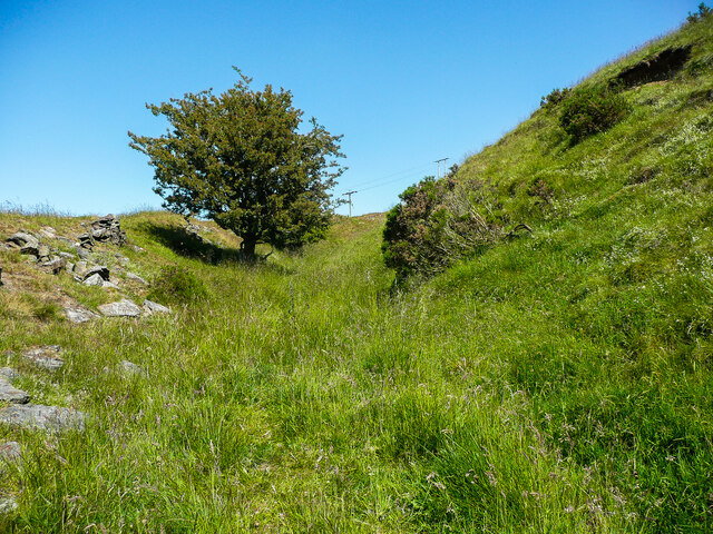
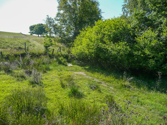
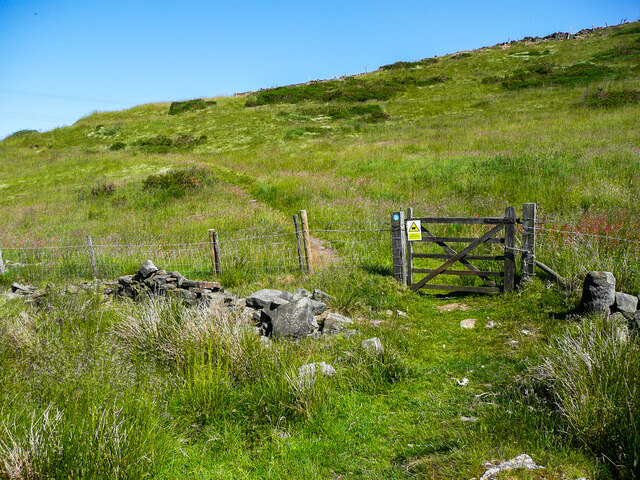
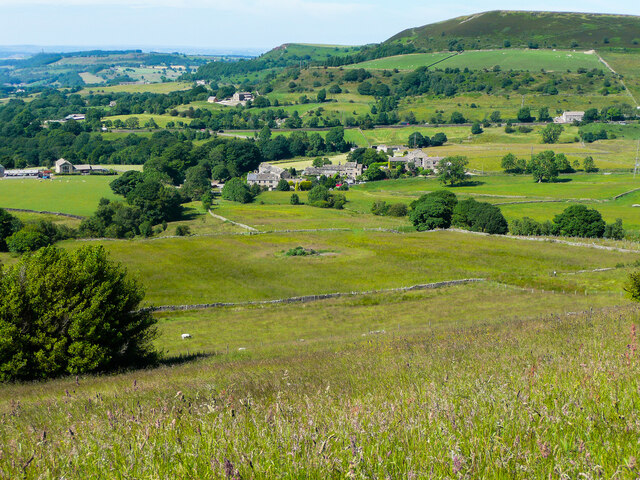
Strines Clough is a picturesque valley located in the county of Yorkshire, England. Situated in the north of the county, this stunning landscape is nestled within the Peak District National Park, offering visitors a glimpse of unspoiled natural beauty.
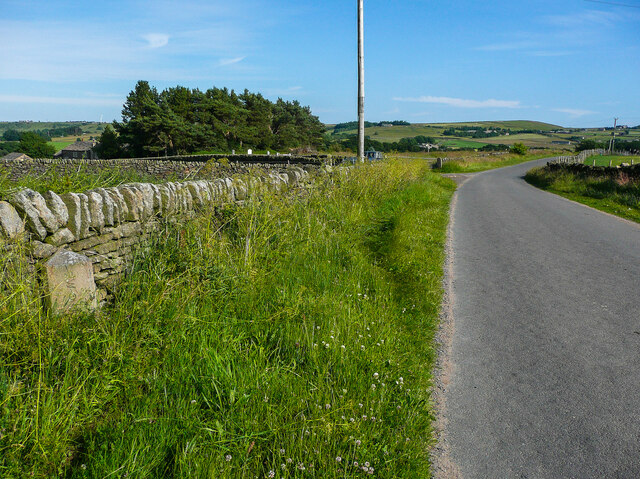
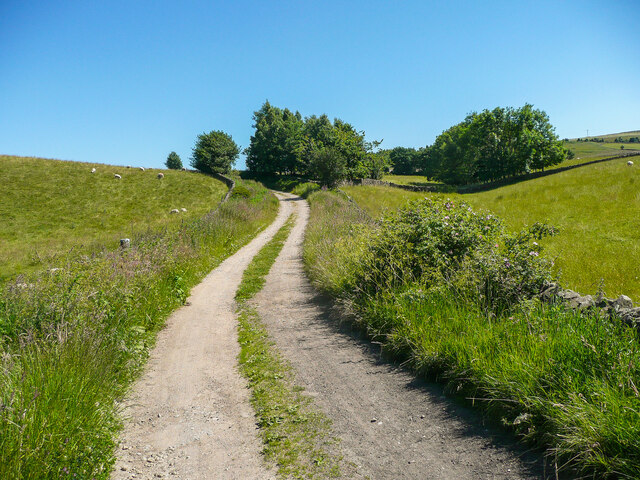
The valley is characterized by its lush greenery, rolling hills, and meandering streams. It stretches for approximately 7 kilometers, with the Strines Reservoir located at its upper end. The reservoir, built in the 1860s, not only adds to the charm of the valley but also serves as a vital water source for the surrounding areas.
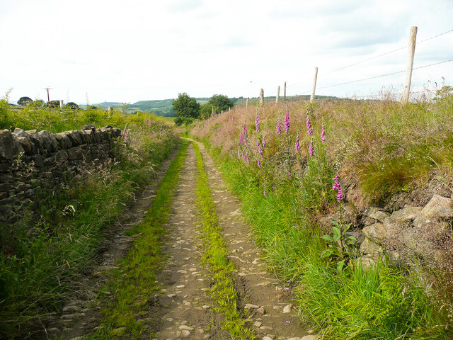
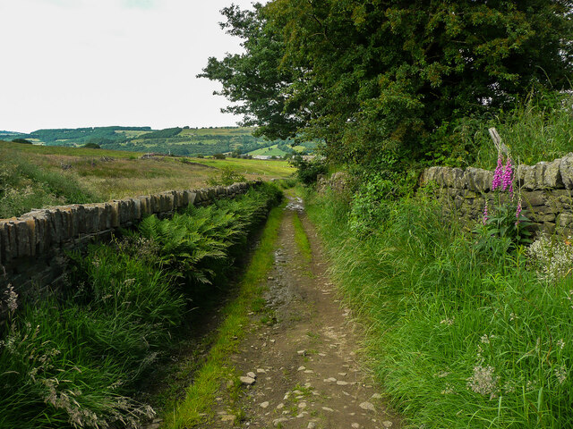
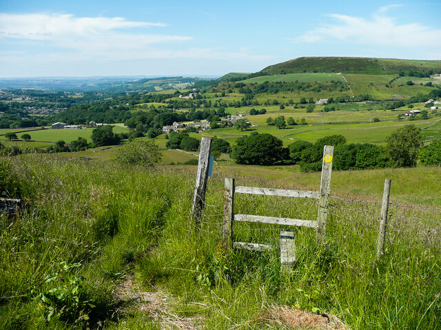
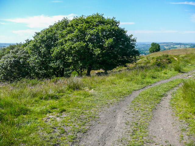
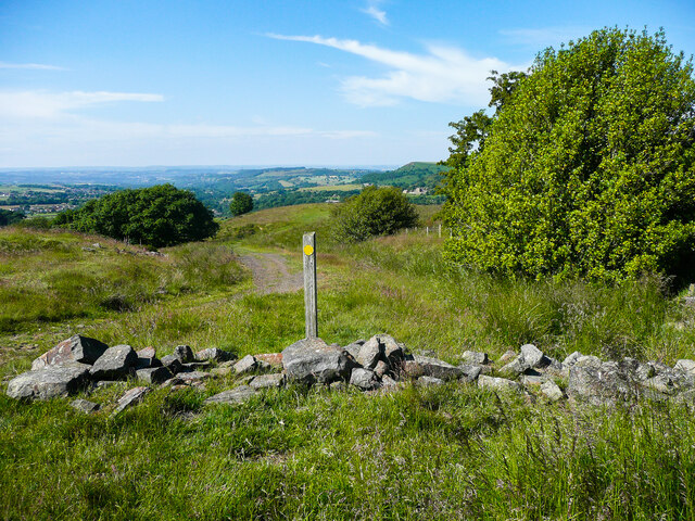
Strines Clough is a haven for hikers and nature enthusiasts, with numerous walking trails that wind through the valley. These trails provide breathtaking views of the surrounding countryside, including the nearby Strines Moor and Kinder Scout, the highest point in the Peak District.
The valley is also home to a diverse range of flora and fauna. Rare species of birds, such as the peregrine falcon and the golden plover, can be spotted soaring above the hills. Wildflowers and heather adorn the landscape, adding bursts of color to the already stunning scenery.
For those seeking tranquility and a break from the hustle and bustle of city life, Strines Clough offers a peaceful retreat. The soothing sounds of the babbling streams and the gentle rustling of leaves create a serene atmosphere that is perfect for relaxation and contemplation.
In conclusion, Strines Clough is a breathtaking valley in Yorkshire, with its stunning natural beauty and tranquil ambiance making it a must-visit destination for nature lovers and outdoor enthusiasts.
If you have any feedback on the listing, please let us know in the comments section below.
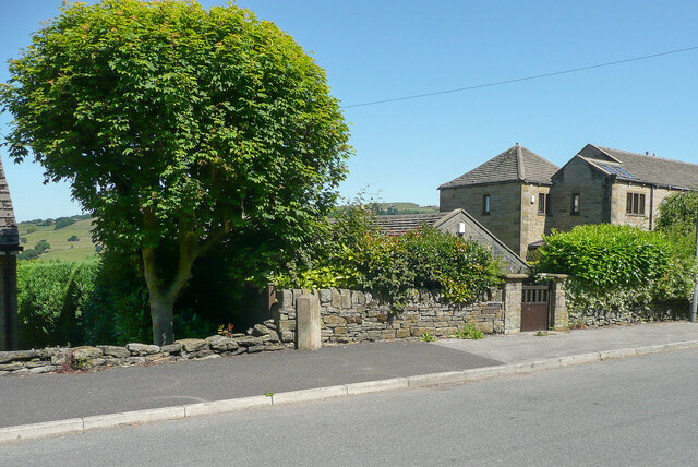
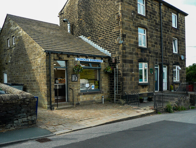
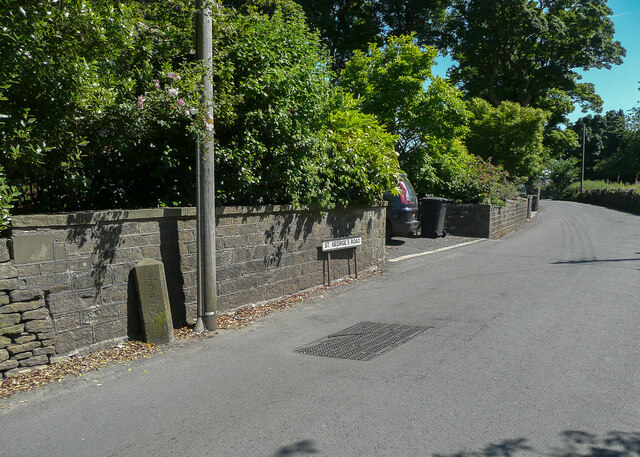
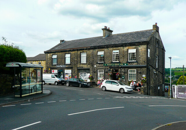
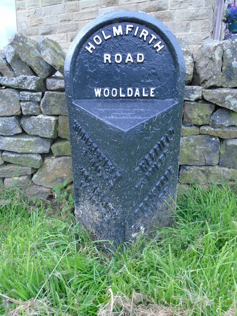
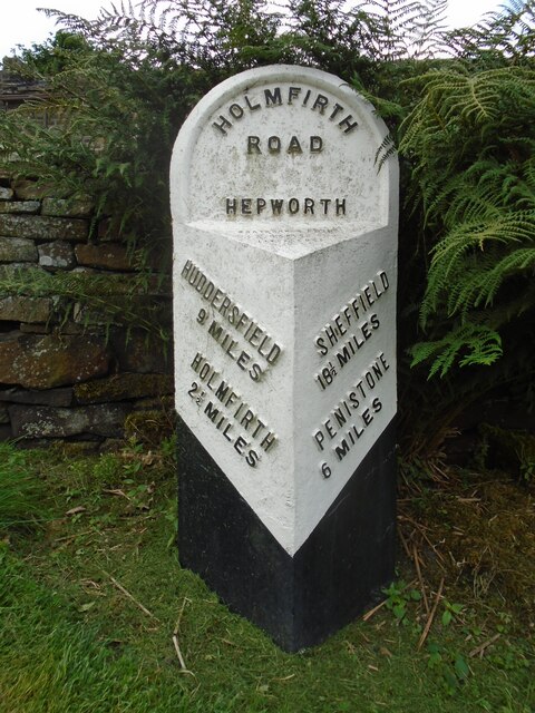
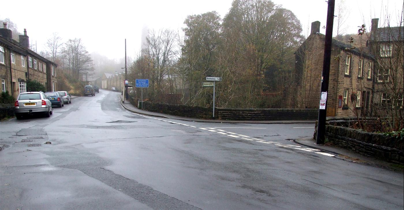
Strines Clough Images
Images are sourced within 2km of 53.55026/-1.7661563 or Grid Reference SE1505. Thanks to Geograph Open Source API. All images are credited.
Strines Clough is located at Grid Ref: SE1505 (Lat: 53.55026, Lng: -1.7661563)
Division: West Riding
Unitary Authority: Kirklees
Police Authority: West Yorkshire
What 3 Words
///sharp.rebel.editor. Near Holmfirth, West Yorkshire
Nearby Locations
Related Wikis

Hepworth, West Yorkshire
Hepworth is a village and former civil parish, now in the parish of Holme Valley, in the metropolitan borough of Kirklees, in West Yorkshire, England....

Hade Edge
Hade Edge is a small village to the south of Holmfirth and southeast of Hepworth in West Yorkshire, England. It is in the parish of Holme Valley and the...

Barnside
Barnside is a hamlet on Barnside Lane approximately 3/4 mile to the southeast of Hepworth in West Yorkshire, England. It is in the civic parish of Holme...

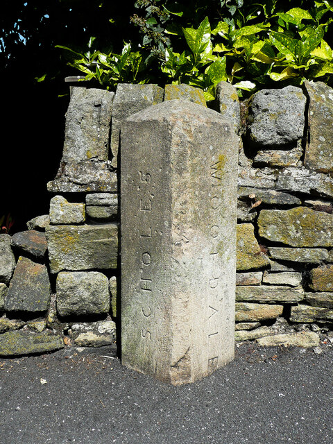
Scholes, Holme Valley
Scholes is a village and former civil parish, now in the parish of Holme Valley, in Kirklees, West Yorkshire, England. It is situated 1 mile (2 km) to...

Arrunden
Arrunden is a hamlet in the civil parish of Holme Valley, West Yorkshire, England. It is located 1.3 miles (2.1 km) south-southwest of Holmfirth. ��2...

River Ribble, West Yorkshire
The River Ribble is a minor river running through the town of Holmfirth in Kirklees, West Yorkshire, England. Rising at the outflow of Holme Styes Reservoir...

Totties
Totties is a hamlet between New Mill and Scholes near Holmfirth in West Yorkshire, England. Although it consists of no more than 70-80 houses, it has within...
Jackson Bridge
Jackson Bridge is a small village in the civil parish of Holme Valley in the Metropolitan Borough of Kirklees in West Yorkshire, England and within the...
Related Videos

Hiking around Summer wine Country
Hiking around Holmfirth Holmbrige Lovely views Great Lovely Old spectacular English village here in the Heart of Holmfirth ...

Hiking Last of the Summer Wine Country
Bagging Ethels above Holmfirth.

Holmfirth, West Yorkshire【4K】| Town Centre Walk 2021
Join me for a walk around the centre of one of Yorkshire's favourite towns, Holmfirth! The home of the world's longest-running TV ...
Holmfirth - Huddersfield Road, West Yorkshire - #travel #Holmfirth #lastofthesummerwine
Holmfirth - Huddersfield Road, West Yorkshire - 01/09/2023.
Nearby Amenities
Located within 500m of 53.55026,-1.7661563Have you been to Strines Clough?
Leave your review of Strines Clough below (or comments, questions and feedback).