Bellerby Bottom
Valley in Yorkshire Richmondshire
England
Bellerby Bottom
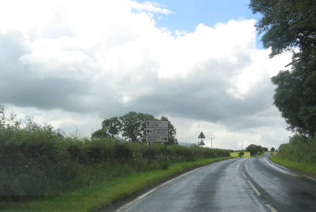
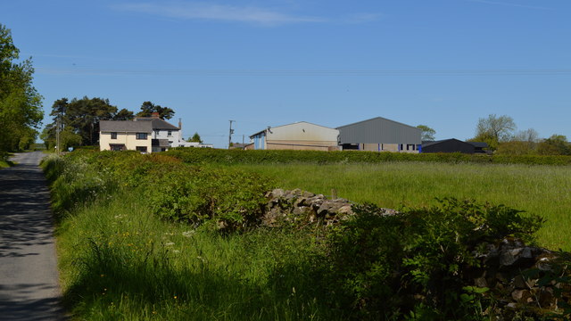
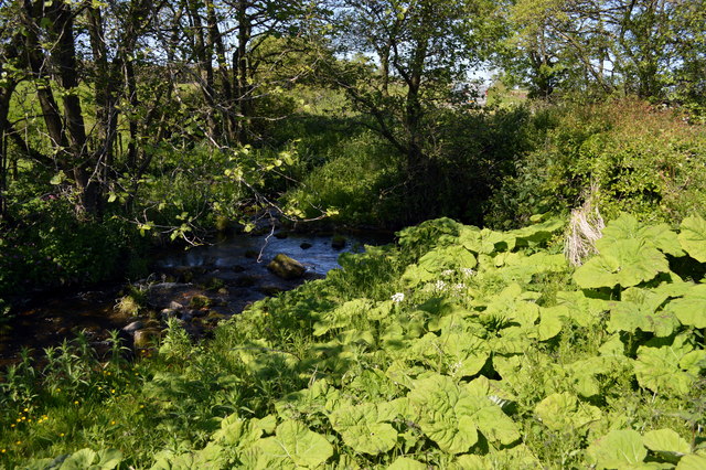
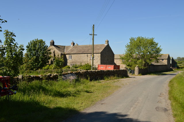
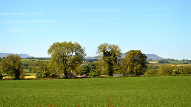
Bellerby Bottom is a charming village nestled in the picturesque valley of Yorkshire, England. Located in the Richmondshire district, it is surrounded by rolling hills, lush green meadows, and a meandering river that adds to its scenic beauty. The village is situated approximately 5 miles southwest of the market town of Leyburn.
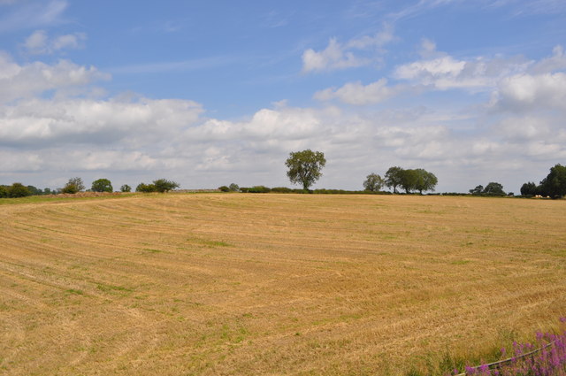
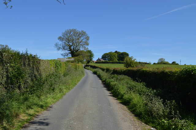
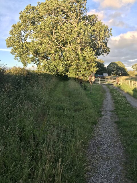
Bellerby Bottom is known for its tranquil and idyllic setting, making it a popular destination for those seeking a peaceful retreat or a chance to immerse themselves in nature. The valley provides ample opportunities for outdoor activities such as hiking, cycling, and fishing. The surrounding hills offer breathtaking views and are also favored by walkers and nature enthusiasts.
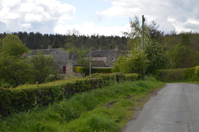
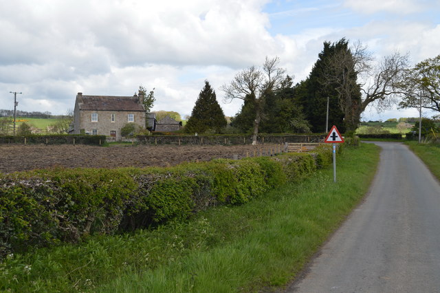
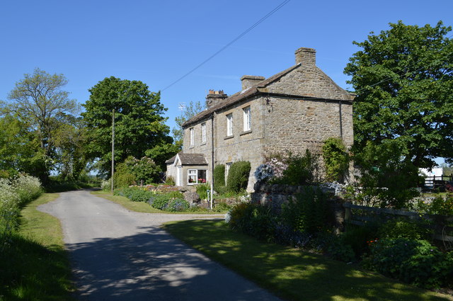
The village itself exudes a quintessentially English charm, with its quaint stone cottages and well-maintained gardens. The locals are friendly and welcoming, and there is a strong sense of community spirit in Bellerby Bottom. The village has a small but thriving local economy, with a few independent shops and a cozy pub that serves as a hub for social gatherings.
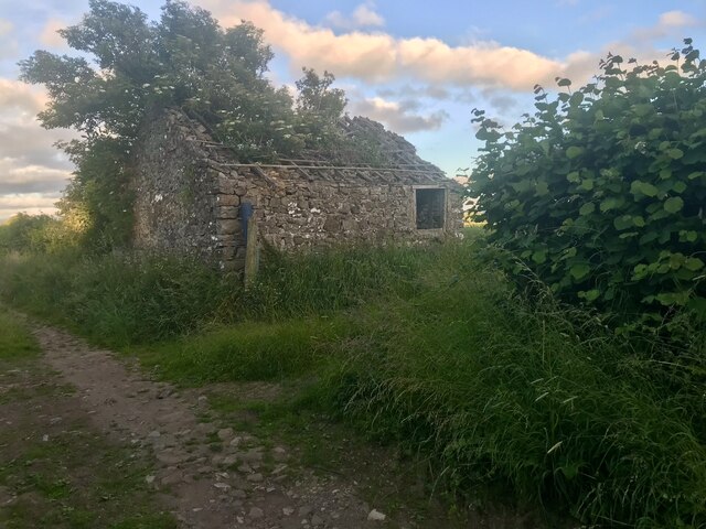
Bellerby Bottom is also steeped in history, with evidence of its existence dating back to the Domesday Book in the 11th century. The village has retained much of its traditional character, with several historic buildings still standing, including the beautiful St. John's Church, which dates back to the 12th century.
Overall, Bellerby Bottom offers a tranquil and picturesque escape from the hustle and bustle of city life, making it an ideal destination for nature lovers and history enthusiasts alike.
If you have any feedback on the listing, please let us know in the comments section below.
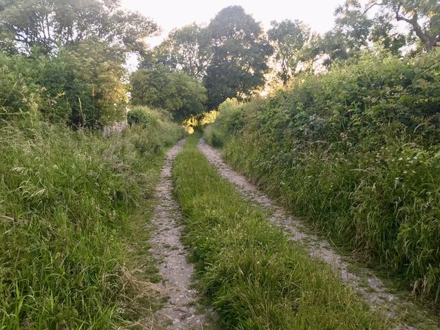
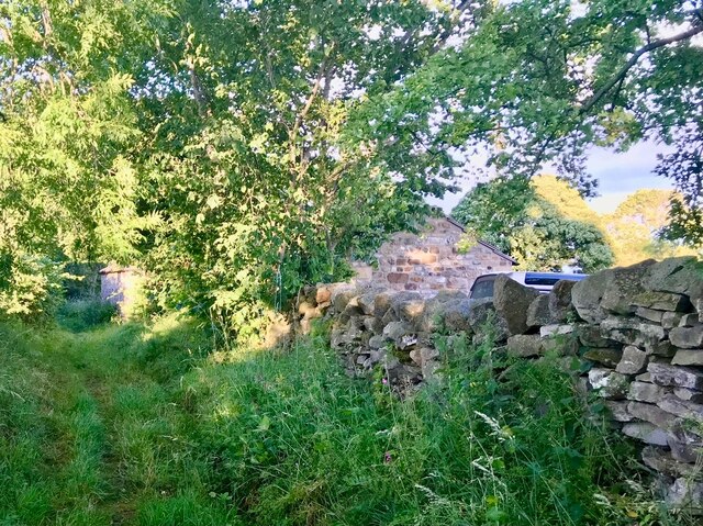
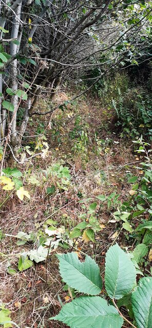
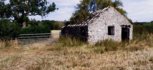
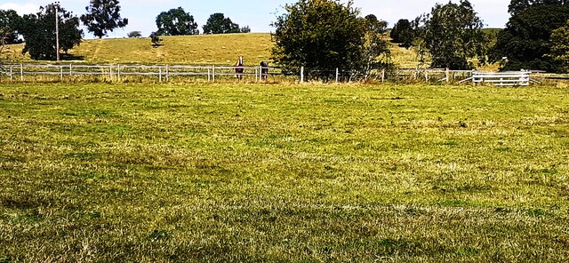
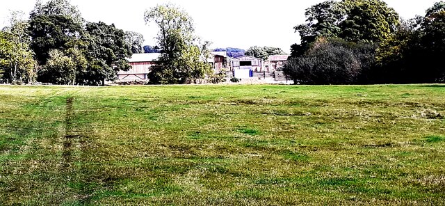
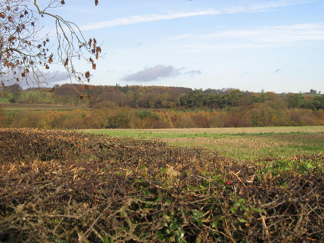
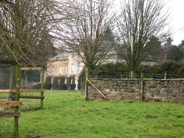
Bellerby Bottom Images
Images are sourced within 2km of 54.325172/-1.7828056 or Grid Reference SE1492. Thanks to Geograph Open Source API. All images are credited.
Bellerby Bottom is located at Grid Ref: SE1492 (Lat: 54.325172, Lng: -1.7828056)
Division: North Riding
Administrative County: North Yorkshire
District: Richmondshire
Police Authority: North Yorkshire
What 3 Words
///sampled.ringers.stadium. Near Leyburn, North Yorkshire
Related Wikis
Garriston
Garriston is a hamlet and civil parish north-east of Leyburn in North Yorkshire, England. In 2015, North Yorkshire County Council estimated the population...

Barden, Richmondshire
Barden is a hamlet and civil parish in North Yorkshire, England. It is about 5 miles (8 km) south of Richmond. According to the 2001 census the parish...

Spennithorne railway station
Spennithorne railway station was on the Wensleydale Railway, in North Yorkshire, England. The station was opened by the Bedale and Leyburn Railway on 19...
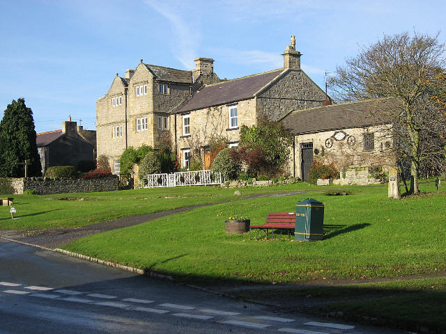
Hauxwell Hall
Hauxwell Hall or Hawkswell Hall is a grade II* listed 17th-century country house in West Hauxwell, North Yorkshire, England, some 5 miles (8 km) south...
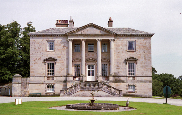
Constable Burton Hall
Constable Burton Hall is a Grade I-listed Georgian country house of dressed stone in an extensive and well wooded park in the village of Constable Burton...

Constable Burton
Constable Burton is a village and civil parish in North Yorkshire, England. It is 3 miles (4.8 km) east of Leyburn. == History == The village takes its...
Bellerby
Bellerby is a village and civil parish in North Yorkshire, England, about 7 miles (11 km) south-west of Richmond. The village has one pub, the Cross Keys...

Tennants (auctioneers)
Tennants is an auction house based at Leyburn in North Yorkshire, England. It claims to be the largest family-owned fine art auctioneers in the United...
Nearby Amenities
Located within 500m of 54.325172,-1.7828056Have you been to Bellerby Bottom?
Leave your review of Bellerby Bottom below (or comments, questions and feedback).