Hollin's Hill

Hill, Mountain in Yorkshire Richmondshire

England

Hollin's Hill

View from the Wensleydale Railway The Wensleydale railway is a preserved railway in North Yorkshire. The line currently runs 22 miles (35 km) between Northallerton on the East Coast Main Line and Redmire. This makes the line the longest heritage railway in Great Britain. Occasional freight services and excursions travel the full length of the line, however regular passenger services currently only operate between Leeming Bar and Redmire, a distance of 16.5 miles (27 km). Formerly the line ran from Northallerton to Garsdale on the Settle-Carlisle Railway. However the track between Redmire and Garsdale was lifted and several bridges and viaducts were demolished in the past. (Wikipedia)
<span class="nowrap"><a title="http://www.wensleydalerailwayassociation.com/" rel="nofollow ugc noopener" href="http://www.wensleydalerailwayassociation.com/">Link</a><img style="margin-left:2px;" alt="External link" title="External link - shift click to open in new window" src="https://s1.geograph.org.uk/img/external.png" width="10" height="10"/></span>
View from the Wensleydale Railway Credit: Ashley Dace

Hollin's Hill is a prominent hill located in the beautiful region of Yorkshire, England. Situated in the southern part of the county, near the village of Baildon, it is part of the larger moorland area known as Baildon Moor.

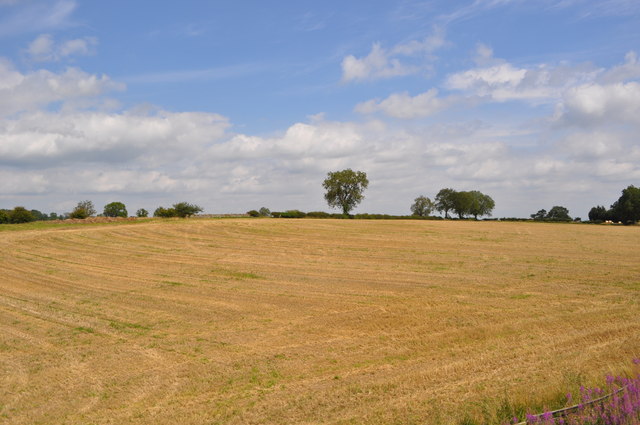
Standing at a height of approximately 300 meters (984 feet) above sea level, Hollin's Hill offers breathtaking panoramic views of the surrounding countryside. The hill is characterized by its gently sloping terrain, covered in lush green grass, heather, and scattered with rocky outcrops. It provides a picturesque setting for leisurely walks, hiking, and nature exploration.

Hollin's Hill is particularly popular amongst outdoor enthusiasts and nature lovers, attracting visitors from near and far. The hill is home to a diverse range of flora and fauna, including various species of birds, mammals, and insects. Hikers often encounter grazing sheep and cows, adding to the rural charm of the area.

The hill also holds historical significance, with traces of ancient human activity found on its slopes. Archaeological discoveries suggest that the hill was inhabited during the Bronze Age, making it an area of interest for historians and archaeologists.

Access to Hollin's Hill is facilitated by well-maintained footpaths and trails, making it easily reachable for visitors of all ages and fitness levels. Whether one seeks an invigorating hike, a peaceful picnic spot, or simply a place to admire the natural beauty of Yorkshire, Hollin's Hill offers an idyllic setting for all.

If you have any feedback on the listing, please let us know in the comments section below.

Hollin's Hill Images

Images are sourced within 2km of 54.324529/-1.7804874 or Grid Reference SE1492. Thanks to Geograph Open Source API. All images are credited.
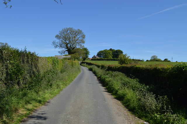
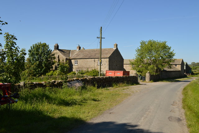
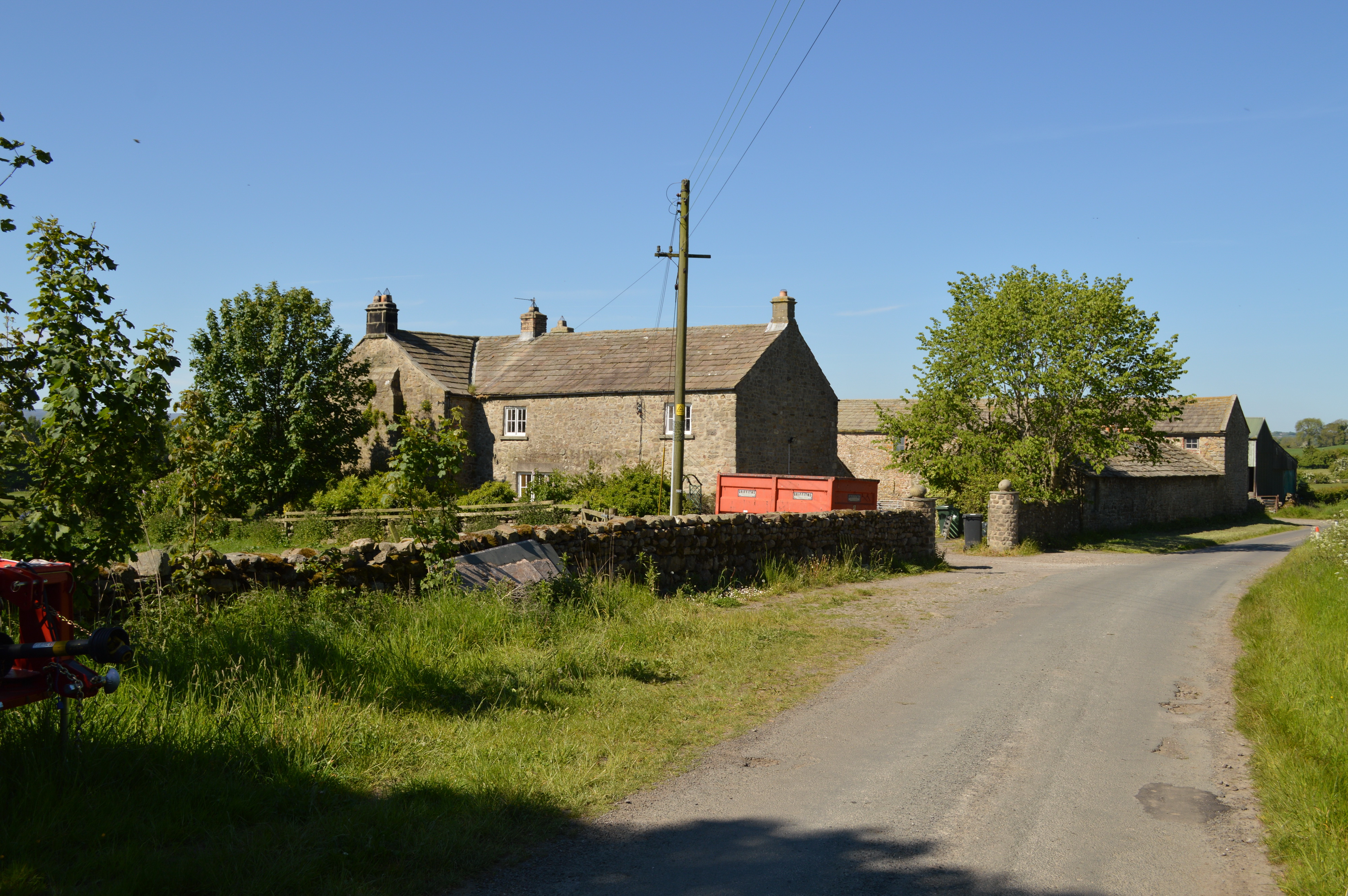
View from the Wensleydale Railway The Wensleydale railway is a preserved railway in North Yorkshire. The line currently runs 22 miles (35 km) between Northallerton on the East Coast Main Line and Redmire. This makes the line the longest heritage railway in Great Britain. Occasional freight services and excursions travel the full length of the line, however regular passenger services currently only operate between Leeming Bar and Redmire, a distance of 16.5 miles (27 km). Formerly the line ran from Northallerton to Garsdale on the Settle-Carlisle Railway. However the track between Redmire and Garsdale was lifted and several bridges and viaducts were demolished in the past. (Wikipedia)
<span class="nowrap"><a title="http://www.wensleydalerailwayassociation.com/" rel="nofollow ugc noopener" href="http://www.wensleydalerailwayassociation.com/">Link</a><img style="margin-left:2px;" alt="External link" title="External link - shift click to open in new window" src="https://s1.geograph.org.uk/img/external.png" width="10" height="10"/></span>
View from the Wensleydale Railway
The Wensleydale railway is a preserved railway in North Yorkshire. The line currently runs 22 miles (35 km) between Northallerton on the East Coast Main Line and Redmire. This makes the line the longest heritage railway in Great Britain. Occasional freight services and excursions travel the full length of the line, however regular passenger services currently only operate between Leeming Bar and Redmire, a distance of 16.5 miles (27 km). Formerly the line ran from Northallerton to Garsdale on the Settle-Carlisle Railway. However the track between Redmire and Garsdale was lifted and several bridges and viaducts were demolished in the past. (Wikipedia) LinkExternal link
Stoop House Farm crossroads
Intake House, Barden
Cross Lanes Farm, Barden
South Dyke Farm
South Dyke Farm
Bellerby Beck In dappled shade. Whilst the road to Garriston crosses here, the bridge is nigh on impossible to discern.
Bellerby Beck
In dappled shade. Whilst the road to Garriston crosses here, the bridge is nigh on impossible to discern.
Cottages at Garriston
Barden Lane Approaching Barden from the south. The buildings of Barden Lane Farm can just be seen on the horizon.
Barden Lane
Approaching Barden from the south. The buildings of Barden Lane Farm can just be seen on the horizon.
Barden Old Hall A range of farm buildings largely unspoiled by modernisation.
Barden Old Hall
A range of farm buildings largely unspoiled by modernisation.
Friar Ings
Friar Ings
Electricity sub station, Barden Recent building in a local style on a corner above Friar Ings.
Electricity sub station, Barden
Recent building in a local style on a corner above Friar Ings.
Lane through Barden Barden is a sleepy little hamlet on a sunny south facing hillside overlooking lower Wensleydale. Few people pass this way unless they need to or are just curious.
Lane through Barden
Barden is a sleepy little hamlet on a sunny south facing hillside overlooking lower Wensleydale. Few people pass this way unless they need to or are just curious.
Pasture land at Barden Looking across farmland at Barden towards the bulk of Penhill, which dominates lower Wensleydale.
Pasture land at Barden
Looking across farmland at Barden towards the bulk of Penhill, which dominates lower Wensleydale.
Barden Lane Barden Lane at the side of the farm of the same name. This is the start of the unmade section of lane which is now classified as a 'byway open to all traffic' [BOAT], and which meets tarmac again approximately 1km further north.
Barden Lane
Barden Lane at the side of the farm of the same name. This is the start of the unmade section of lane which is now classified as a 'byway open to all traffic' [BOAT], and which meets tarmac again approximately 1km further north.
Barden Lane, looking south The northern end of tarmac on Barden Lane, with the little used phone box on the left and a view through the trees to the slopes of distant Great Whernside.
Barden Lane, looking south
The northern end of tarmac on Barden Lane, with the little used phone box on the left and a view through the trees to the slopes of distant Great Whernside.
Garriston cross roads A junction of quiet country lanes at Garriston. The building to the right is the home of Wensleydale longwool products.
Garriston cross roads
A junction of quiet country lanes at Garriston. The building to the right is the home of Wensleydale longwool products.
Crop field at Garriston Cereal growing at Garriston. This area is close to the western limit for cereal growing in Wensleydale. Towards Leyburn cereal fields become more scarce due to altitude, increasing rainfall and thinner soils.
Crop field at Garriston
Cereal growing at Garriston. This area is close to the western limit for cereal growing in Wensleydale. Towards Leyburn cereal fields become more scarce due to altitude, increasing rainfall and thinner soils.
Unsurfaced lane by Street Head An unsurfaced lane marked as a 'route with public access' and heading in the direction of Harmby Moor.
Unsurfaced lane by Street Head
An unsurfaced lane marked as a 'route with public access' and heading in the direction of Harmby Moor.
Show me another place!

Hollin's Hill is located at Grid Ref: SE1492 (Lat: 54.324529, Lng: -1.7804874)

Division: North Riding

Administrative County: North Yorkshire

District: Richmondshire

Police Authority: North Yorkshire

What 3 Words

///blocks.expose.idealist. Near Leyburn, North Yorkshire

Related Wikis

Barden Old Hall

Barden Old Hall is a historic building in Barden, a hamlet near Richmond, North Yorkshire, in England. The building probably dates from the early 15th...

Garriston

Garriston is a hamlet and civil parish north-east of Leyburn in North Yorkshire, England. In 2015, North Yorkshire County Council estimated the population...

Barden, Richmondshire

Barden is a hamlet and civil parish in North Yorkshire, England. It is about 5 miles (8 km) south of Richmond. According to the 2001 census the parish...

Spennithorne railway station

Spennithorne railway station was on the Wensleydale Railway, in North Yorkshire, England. The station was opened by the Bedale and Leyburn Railway on 19...

Nearby Amenities

Located within 500m of 54.324529,-1.7804874
Power: pole
Lat/Long: 54.3231189/-1.7738038
Power: pole
Lat/Long: 54.3232252/-1.7749733
Power: pole
Lat/Long: 54.3232722/-1.7737824
Power: pole
Lat/Long: 54.3233707/-1.7749518
Power: pole
Lat/Long: 54.3255951/-1.7732888
Power: pole
Lat/Long: 54.3249365/-1.7744851
Power: pole
Lat/Long: 54.3239323/-1.7818585
Power: pole
Lat/Long: 54.3240308/-1.7830709
Power: pole
Lat/Long: 54.3241356/-1.7842966
Power: pole
Lat/Long: 54.3242404/-1.7855197
Power: pole
Lat/Long: 54.3243484/-1.7868125
Power: pole
Lat/Long: 54.3244532/-1.7881939
Power: pole
Lat/Long: 54.3241935/-1.7868474
Power: pole
Lat/Long: 54.324084/-1.7855465
Power: pole
Lat/Long: 54.3239855/-1.7843261
Power: pole
Lat/Long: 54.3238838/-1.7831352
Power: pole
Lat/Long: 54.3237978/-1.78188
Power: pole
Lat/Long: 54.323463/-1.7761079
Power: pole
Lat/Long: 54.323316/-1.7761266
Power: pole
Lat/Long: 54.3236976/-1.7767918
Power: pole
Lat/Long: 54.3235584/-1.7772827
Power: pole
Lat/Long: 54.3234114/-1.7771459
Power: pole
Lat/Long: 54.32272/-1.7803913
Power: pole
Lat/Long: 54.3221443/-1.7838755
Power: pole
Lat/Long: 54.3215686/-1.7850798
The data included in this document is from www.openstreetmap.org. The data is made available under ODbL.

Have you been to Hollin's Hill?

Leave your review of Hollin's Hill below (or comments, questions and feedback).