Fillybrook Bottom

Valley in Hampshire

England

Fillybrook Bottom

Layby on A338 northbound
Layby on A338 northbound Credit: Dave Thompson

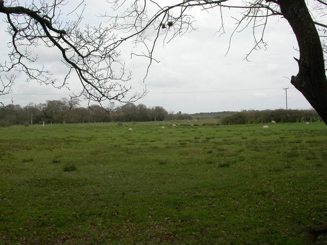
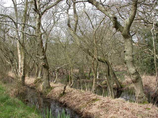
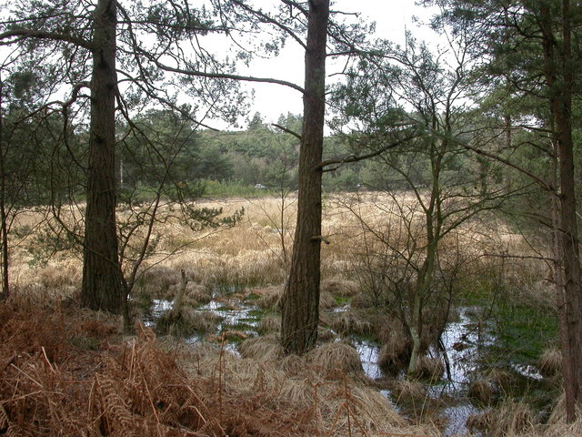
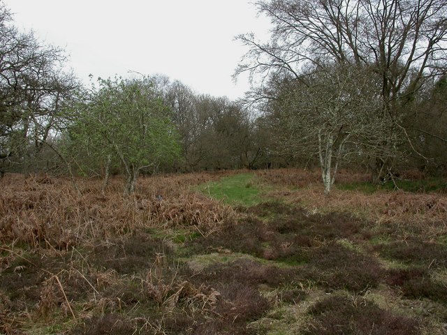
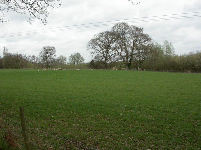
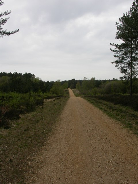
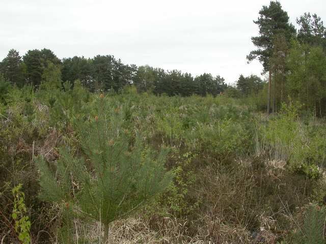
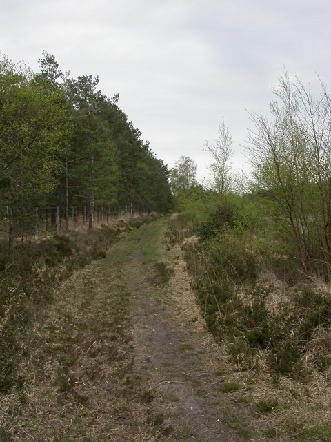
Fillybrook Bottom is a picturesque valley located in the county of Hampshire, England. Nestled amidst the rolling hills of the South Downs, this tranquil haven is renowned for its natural beauty and idyllic surroundings. The valley stretches for approximately 2 miles, encompassing lush green meadows, meandering streams, and dense woodland.

The valley's name is derived from the Fillybrook stream that flows through it, adding to its charm and serenity. The stream is lined with vibrant wildflowers and is home to various species of aquatic life, making it a popular spot for nature enthusiasts and photographers.

Fillybrook Bottom is also known for its diverse wildlife, with an abundance of bird species, mammals, and insects residing in the area. Visitors may catch a glimpse of deer grazing in the fields, or spot a soaring buzzard in the clear blue skies above.

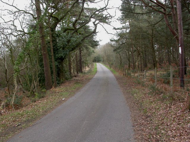
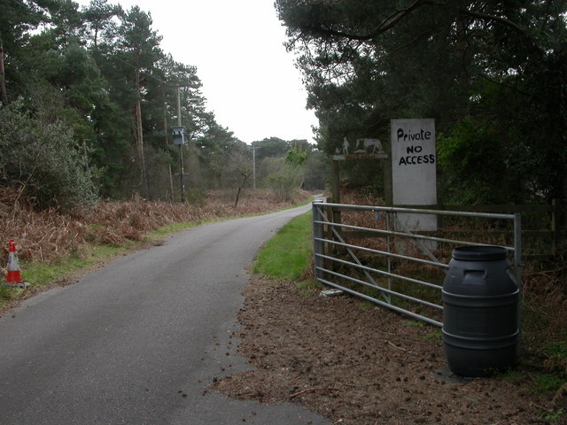
For those seeking outdoor activities, Fillybrook Bottom offers several walking and cycling trails that traverse the valley. These routes provide stunning panoramic views of the surrounding countryside, including the nearby historic village of East Meon and the distant rolling hills of the South Downs National Park.

The valley is a haven for relaxation and escapism, with its peaceful atmosphere and unspoiled natural beauty. Whether it's a leisurely stroll along the stream, a picnic in one of the meadows, or simply taking in the breathtaking views, Fillybrook Bottom offers an enchanting experience for all who visit.

If you have any feedback on the listing, please let us know in the comments section below.

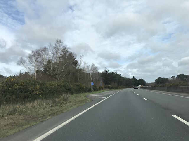
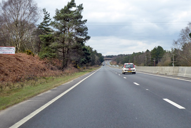
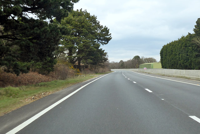
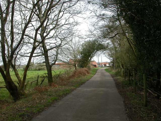
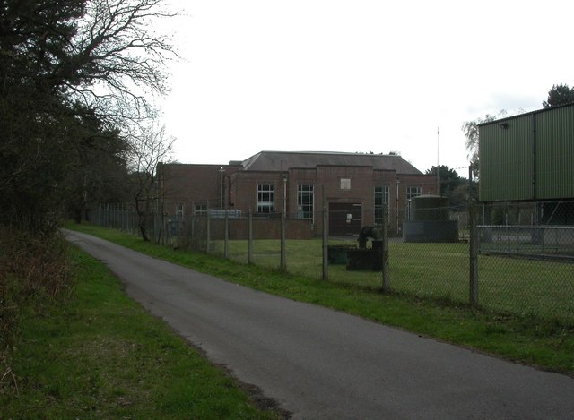
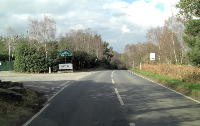
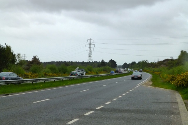
Fillybrook Bottom Images

Images are sourced within 2km of 50.792908/-1.8178915 or Grid Reference SZ1299. Thanks to Geograph Open Source API. All images are credited.

Layby on A338 northbound
A338 northbound
A338 northbound
A338 northbound The green building on the right is part of an installation mapped as a pumping station.
A338 northbound
The green building on the right is part of an installation mapped as a pumping station.
Week Farm Summer vegetables, beef and lamb; home of Avon Organics. <span class="nowrap"><a title="http://www.avonorganics.co.uk/" rel="nofollow ugc noopener" href="http://www.avonorganics.co.uk/">Link</a><img style="margin-left:2px;" alt="External link" title="External link - shift click to open in new window" src="https://s1.geograph.org.uk/img/external.png" width="10" height="10"/></span>
Week Farm
Summer vegetables, beef and lamb; home of Avon Organics. LinkExternal link
Week Farm, sheep grazing
Avon, willow carr A continuation of Week Wood.
Avon, willow carr
A continuation of Week Wood.
Avon, Wattons Lane Private farm road giving access to Week Farm; Week Wood to left, Week Common to right.
Avon, Wattons Lane
Private farm road giving access to Week Farm; Week Wood to left, Week Common to right.
Week Common, grassland With traffic on A338 glinting behind the grassland.
Week Common, grassland
With traffic on A338 glinting behind the grassland.
Avon Pumping Station Off Wattons Lane; the original building, with part of a modern corrugated structure to the right.
Avon Pumping Station
Off Wattons Lane; the original building, with part of a modern corrugated structure to the right.
Week Wood, forestry track
Matchams, farm entrance South of <a href="https://www.geograph.org.uk/photo/2337097">SU1300 : Avon Pumping Station</a>, Wattons Lane becomes a private access road for Week Farm.
Matchams, farm entrance
South of SU1300 : Avon Pumping Station, Wattons Lane becomes a private access road for Week Farm.
Matchams, sheep grazing On land farmed by Week Farm.
Matchams, sheep grazing
On land farmed by Week Farm.
Hurn Forest, cycle route Gravelled route through the forest.
Hurn Forest, cycle route
Gravelled route through the forest.
Hurn Forest, young plantation
Hurn Forest, forestry track Qinetiq testing site behind the fence to left, open-access land to right.
Hurn Forest, forestry track
Qinetiq testing site behind the fence to left, open-access land to right.
Matcham's Lane west of Barnsfield Heath
Matcham's Lane passes entrance of Matchams Leisure Park Did I just hear sleigh-bells? <span class="nowrap"><a title="http://news.bbc.co.uk/1/hi/england/dorset/7758112.stm" rel="nofollow ugc noopener" href="http://news.bbc.co.uk/1/hi/england/dorset/7758112.stm">Link</a><img style="margin-left:2px;" alt="External link" title="External link - shift click to open in new window" src="https://s1.geograph.org.uk/img/external.png" width="10" height="10"/></span>
Matcham's Lane passes entrance of Matchams Leisure Park
Did I just hear sleigh-bells? LinkExternal link
The A338 near Bournemouth Airport
Show me another place!

Fillybrook Bottom is located at Grid Ref: SZ1299 (Lat: 50.792908, Lng: -1.8178915)

Unitary Authority: Bournemouth, Christchurch and Poole

Police Authority: Dorset

What 3 Words

///driven.submerged.mixture. Near St Leonards, Dorset

Related Wikis

Ringwood Raceway

The Ringwood Raceway (formerly known as Matcham Park Stadium) was a raceway in Ringwood, Hampshire, England. == History == For many years the raceway was...

Hurn railway station

Hurn was a railway station in the county of Hampshire (now Dorset), opened on 13 November 1862 by the Ringwood, Christchurch and Bournemouth Railway. Becoming...

Lapland New Forest

Lapland New Forest was a Christmas-themed park near Ringwood, Hampshire, UK. The park had been advertised as being a "winter wonderland" with a variety...

RAF Hurn

Royal Air Force Hurn or more simply RAF Hurn is a former Royal Air Force station located approximately 4 miles (6.4 km) north west of Christchurch, Dorset...

Nearby Amenities

Located within 500m of 50.792908,-1.8178915
Snowtrax
Addr City: Christchurch
Addr Country: GB
Addr Postcode: BH23 6AW
Email: info@snowtrax.eu
Leisure: sports_centre
Phone: +44 1202 499155
Sport: skiing
Website: https://www.snowtrax.eu/
Lat/Long: 50.7944833/-1.8186421
The data included in this document is from www.openstreetmap.org. The data is made available under ODbL.

Have you been to Fillybrook Bottom?

Leave your review of Fillybrook Bottom below (or comments, questions and feedback).