Hurn Forest

Wood, Forest in Hampshire

England

Hurn Forest

Layby on A338 northbound
Layby on A338 northbound Credit: Dave Thompson

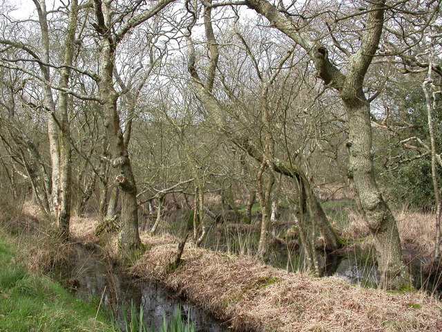
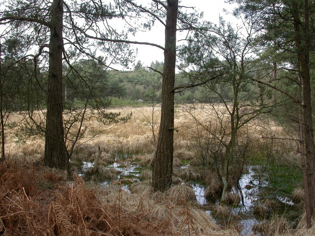
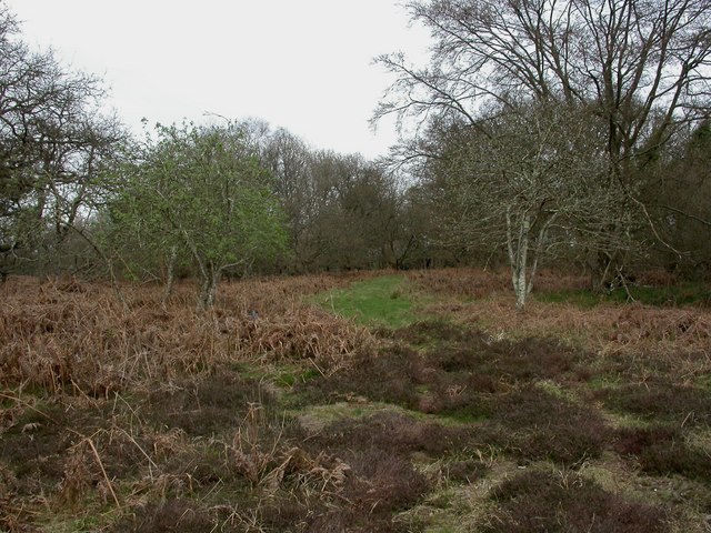
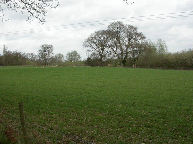
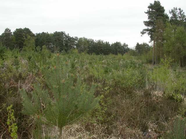
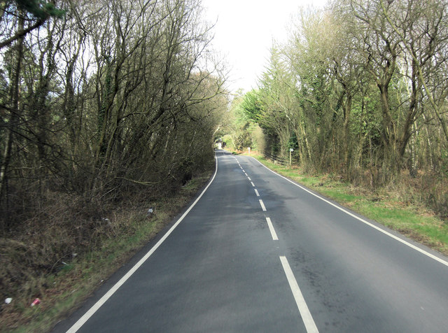
Hurn Forest is a sprawling woodland located in Hampshire, England. Covering an area of approximately 1,200 hectares, it is situated between the towns of Ringwood and Christchurch. The forest is a mix of coniferous and deciduous trees, creating a diverse and picturesque landscape.

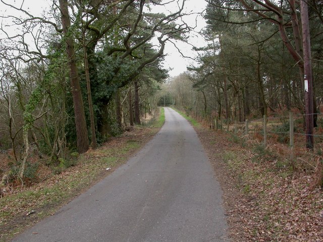
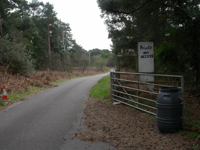
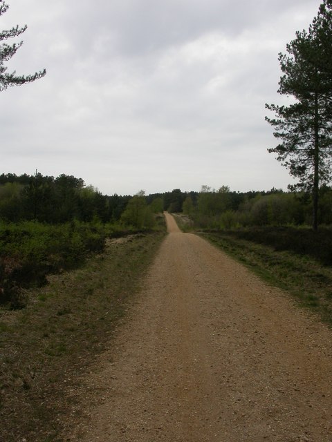
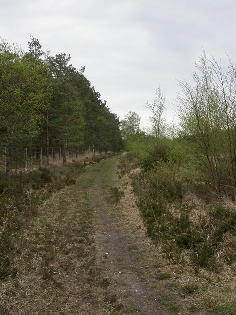
The forest is managed by the Forestry Commission and is a popular destination for outdoor enthusiasts and nature lovers. It offers a range of recreational activities such as walking, cycling, horse riding, and birdwatching. There are numerous well-marked trails and paths that guide visitors through the forest, allowing them to explore its natural beauty at their own pace.

Hurn Forest is home to a variety of wildlife, including deer, foxes, badgers, and a wide array of bird species. The forest provides a vital habitat for these creatures, offering a safe haven amidst the surrounding urban areas.

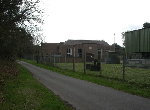
In addition to its natural wonders, Hurn Forest also holds historical significance. During World War II, the Royal Air Force used parts of the forest as an airfield. Today, remnants of the airfield can still be seen, including the runways and dispersal points.

Overall, Hurn Forest is a remarkable destination that offers a tranquil escape from the hustle and bustle of everyday life. With its diverse flora and fauna, scenic trails, and rich history, it is a place that appeals to both nature enthusiasts and history buffs alike.

If you have any feedback on the listing, please let us know in the comments section below.
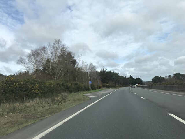
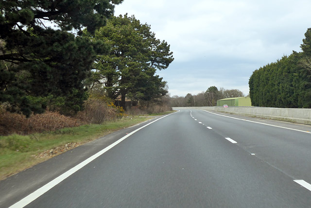
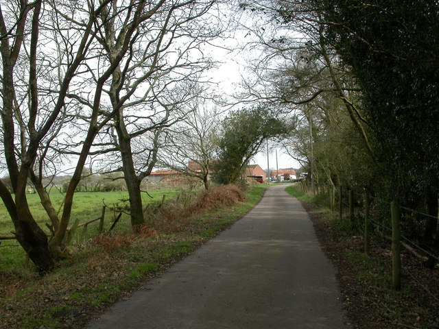
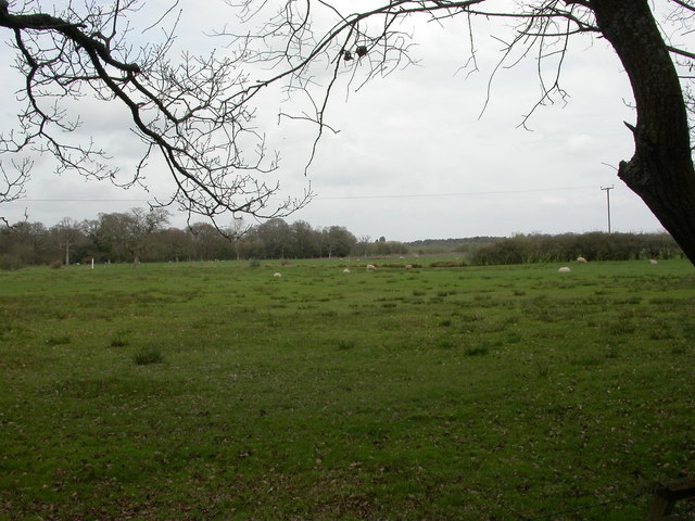
Hurn Forest Images

Images are sourced within 2km of 50.792598/-1.8205174 or Grid Reference SZ1299. Thanks to Geograph Open Source API. All images are credited.

Layby on A338 northbound
A338 northbound The green building on the right is part of an installation mapped as a pumping station.
A338 northbound
The green building on the right is part of an installation mapped as a pumping station.
Week Farm Summer vegetables, beef and lamb; home of Avon Organics. <span class="nowrap"><a title="http://www.avonorganics.co.uk/" rel="nofollow ugc noopener" href="http://www.avonorganics.co.uk/">Link</a><img style="margin-left:2px;" alt="External link" title="External link - shift click to open in new window" src="https://s1.geograph.org.uk/img/external.png" width="10" height="10"/></span>
Week Farm
Summer vegetables, beef and lamb; home of Avon Organics. LinkExternal link
Week Farm, sheep grazing
Avon, willow carr A continuation of Week Wood.
Avon, willow carr
A continuation of Week Wood.
Avon, Wattons Lane Private farm road giving access to Week Farm; Week Wood to left, Week Common to right.
Avon, Wattons Lane
Private farm road giving access to Week Farm; Week Wood to left, Week Common to right.
Week Common, grassland With traffic on A338 glinting behind the grassland.
Week Common, grassland
With traffic on A338 glinting behind the grassland.
Avon Pumping Station Off Wattons Lane; the original building, with part of a modern corrugated structure to the right.
Avon Pumping Station
Off Wattons Lane; the original building, with part of a modern corrugated structure to the right.
Week Wood, forestry track
Matchams, farm entrance South of <a href="https://www.geograph.org.uk/photo/2337097">SU1300 : Avon Pumping Station</a>, Wattons Lane becomes a private access road for Week Farm.
Matchams, farm entrance
South of SU1300 : Avon Pumping Station, Wattons Lane becomes a private access road for Week Farm.
Matchams, sheep grazing On land farmed by Week Farm.
Matchams, sheep grazing
On land farmed by Week Farm.
Hurn Forest, cycle route Gravelled route through the forest.
Hurn Forest, cycle route
Gravelled route through the forest.
Hurn Forest, young plantation
Hurn Forest, forestry track Qinetiq testing site behind the fence to left, open-access land to right.
Hurn Forest, forestry track
Qinetiq testing site behind the fence to left, open-access land to right.
Barnsfield Heath, heathland Undisturbed heathland at Qinetiq's Hurn site.
Barnsfield Heath, heathland
Undisturbed heathland at Qinetiq's Hurn site.
Hurn Forest, clearing Well-defined clearing forming the boundary between open-access Forestry Commission land to left and Qinetiq Hurn to right.
Hurn Forest, clearing
Well-defined clearing forming the boundary between open-access Forestry Commission land to left and Qinetiq Hurn to right.
Matcham's Lane west of Barnsfield Heath
Matcham's Lane passes entrance of Matchams Leisure Park Did I just hear sleigh-bells? <span class="nowrap"><a title="http://news.bbc.co.uk/1/hi/england/dorset/7758112.stm" rel="nofollow ugc noopener" href="http://news.bbc.co.uk/1/hi/england/dorset/7758112.stm">Link</a><img style="margin-left:2px;" alt="External link" title="External link - shift click to open in new window" src="https://s1.geograph.org.uk/img/external.png" width="10" height="10"/></span>
Matcham's Lane passes entrance of Matchams Leisure Park
Did I just hear sleigh-bells? LinkExternal link
Show me another place!

Hurn Forest is located at Grid Ref: SZ1299 (Lat: 50.792598, Lng: -1.8205174)

Unitary Authority: Bournemouth, Christchurch and Poole

Police Authority: Dorset

What 3 Words

///handy.headliner.likely. Near St Leonards, Dorset

Related Wikis

Lapland New Forest

Lapland New Forest was a short-lived winter wonderland theme park near Ringwood, Hampshire, UK, in 2008. The park had been advertised as being a "winter...

Hurn railway station

Hurn was a railway station in the county of Hampshire (now Dorset), opened on 13 November 1862 by the Ringwood, Christchurch and Bournemouth Railway. Becoming...

RAF Hurn

Royal Air Force Hurn or more simply RAF Hurn is a former Royal Air Force station located approximately 4 miles (6.4 km) north west of Christchurch, Dorset...

Bournemouth Airport

Bournemouth Airport (IATA: BOH, ICAO: EGHH) (previously known as Hurn Airport and Bournemouth International Airport) is an international airport located...

Nearby Amenities

Located within 500m of 50.792598,-1.8205174
Snowtrax
Addr City: Christchurch
Addr Country: GB
Addr Postcode: BH23 6AW
Email: info@snowtrax.eu
Leisure: sports_centre
Phone: +44 1202 499155
Sport: skiing
Website: https://www.snowtrax.eu/
Lat/Long: 50.7944833/-1.8186421
The data included in this document is from www.openstreetmap.org. The data is made available under ODbL.

Have you been to Hurn Forest?

Leave your review of Hurn Forest below (or comments, questions and feedback).