Cockhill Low Wood
Wood, Forest in Yorkshire Richmondshire
England
Cockhill Low Wood
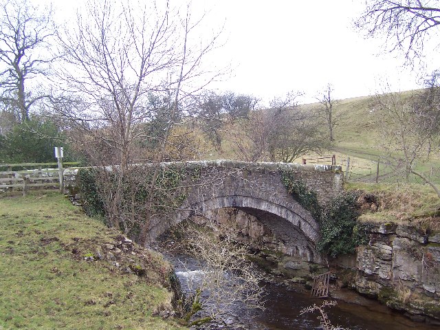
![Path diversion coming? Footpath number 6 in East Witton parish was the subject of an official diversion order when this photo was taken. The path crosses the wall at a stile here and previously went around the sides of a barn, but the building has grown and the current route is through the building. Diverting the path further along the wall side makes sense as it is the more logical route to the riverside and avoids both the stile and a farm gate [as well as the barn].](https://s2.geograph.org.uk/geophotos/07/68/95/7689586_975e707e.jpg)
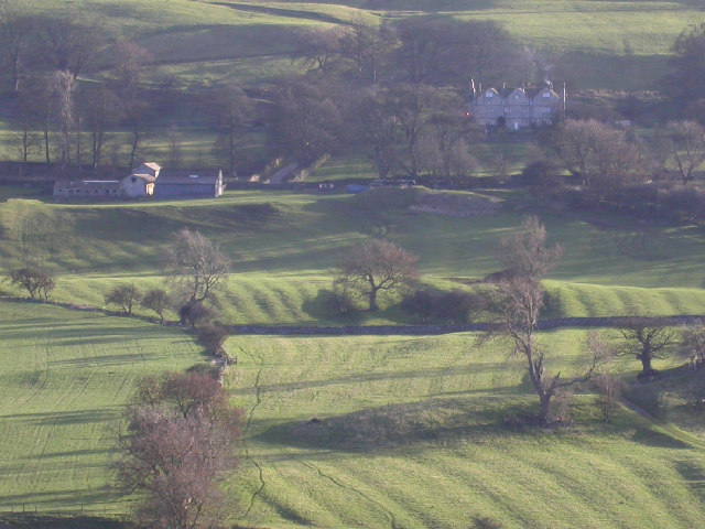
Cockhill Low Wood is a picturesque woodland located in the county of Yorkshire, England. Situated near the village of Cockhill, the wood covers an area of approximately 100 acres and is known for its natural beauty and diverse ecosystem.
The wood is characterized by an abundance of mature trees, including oak, beech, and birch, which create a dense canopy that provides shelter for a variety of wildlife. The forest floor is adorned with a carpet of bluebells in the spring, making it a popular destination for nature enthusiasts and photographers.
Cockhill Low Wood is also home to a number of walking trails, which wind their way through the wood, offering visitors the opportunity to explore its enchanting surroundings. These trails vary in difficulty, catering to both casual walkers and more experienced hikers. Along the paths, visitors can observe a range of flora and fauna, including ferns, mosses, and a variety of bird species.
The wood is managed by a local conservation organization, ensuring its preservation and protection. This includes regular maintenance of the trails, as well as monitoring of the wildlife population. The organization also organizes educational programs and guided tours, providing visitors with the opportunity to learn more about the wood's history and ecological significance.
Overall, Cockhill Low Wood is a tranquil and captivating destination, offering visitors the chance to immerse themselves in the natural beauty of Yorkshire's countryside. Whether it is for a peaceful walk, wildlife spotting, or simply enjoying the serenity of the wood, Cockhill Low Wood is a must-visit for nature lovers.
If you have any feedback on the listing, please let us know in the comments section below.
Cockhill Low Wood Images
Images are sourced within 2km of 54.266659/-1.805744 or Grid Reference SE1285. Thanks to Geograph Open Source API. All images are credited.


Cockhill Low Wood is located at Grid Ref: SE1285 (Lat: 54.266659, Lng: -1.805744)
Division: North Riding
Administrative County: North Yorkshire
District: Richmondshire
Police Authority: North Yorkshire
What 3 Words
///squad.hotels.ultra. Near Leyburn, North Yorkshire
Nearby Locations
Related Wikis
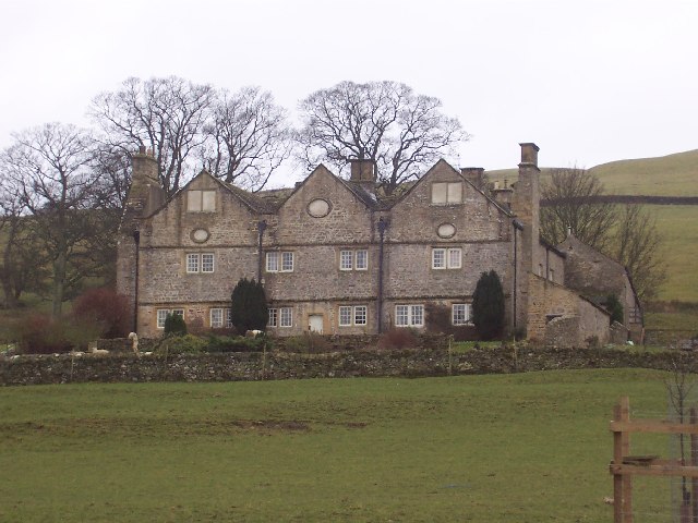
Braithwaite Hall
Braithwaite Hall is a 17th-century manor house in Coverdale in the Yorkshire Dales in England. It lies 1.8 miles (2.9 km) west of the village of East...

East Witton
East Witton is a village and civil parish in Wensleydale in North Yorkshire, England. It lies south of Leyburn, in the Richmondshire district. Richard...

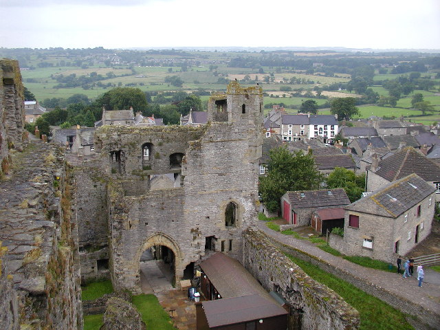
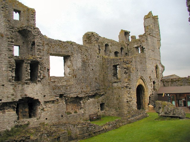
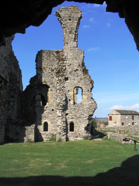
Middleham Castle
Middleham Castle is a ruined castle in Middleham in Wensleydale, in the county of North Yorkshire, England. It was built by Robert Fitzrandolph, 3rd Lord...
A6108 road
The A6108 road is an A road in North Yorkshire, England. It runs from the south of Scotch Corner to Ripon going via Richmond and Leyburn across the moors...
Nearby Amenities
Located within 500m of 54.266659,-1.805744Have you been to Cockhill Low Wood?
Leave your review of Cockhill Low Wood below (or comments, questions and feedback).