Nidderdale

Valley in Yorkshire Harrogate

England

Nidderdale

Sheepfold on Bents Back Drive Well established track heading east, before descending towards Upper Nidderdale.
There is no access down to Ramsgill for walkers after about half a mile of passing this sheepfold.
Sheepfold on Bents Back Drive Credit: Chris Heaton

Nestled in the heart of Yorkshire, Nidderdale is a picturesque valley renowned for its stunning natural beauty and rich history. Located in the county of North Yorkshire, it spans approximately 40 miles and forms part of the Nidderdale Area of Outstanding Natural Beauty.

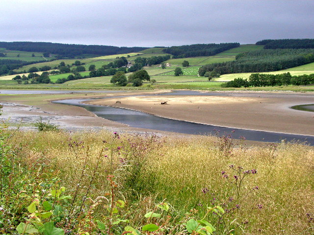
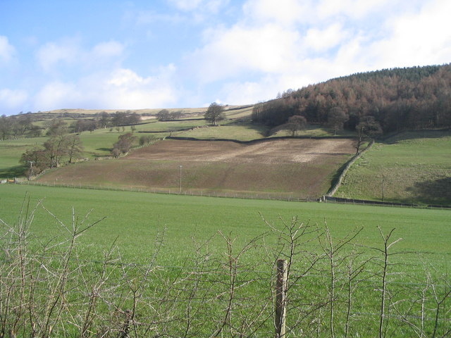
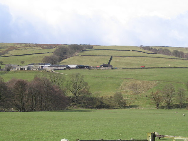
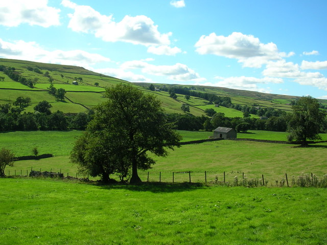
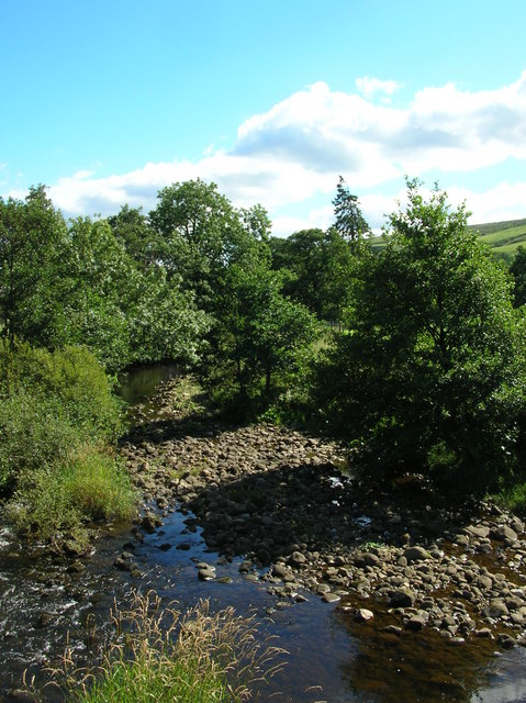
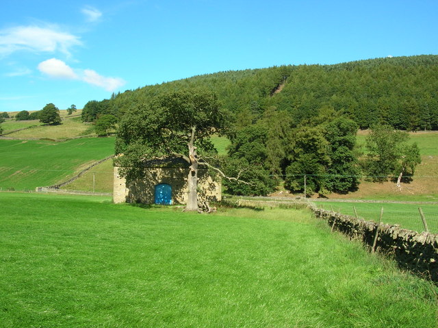
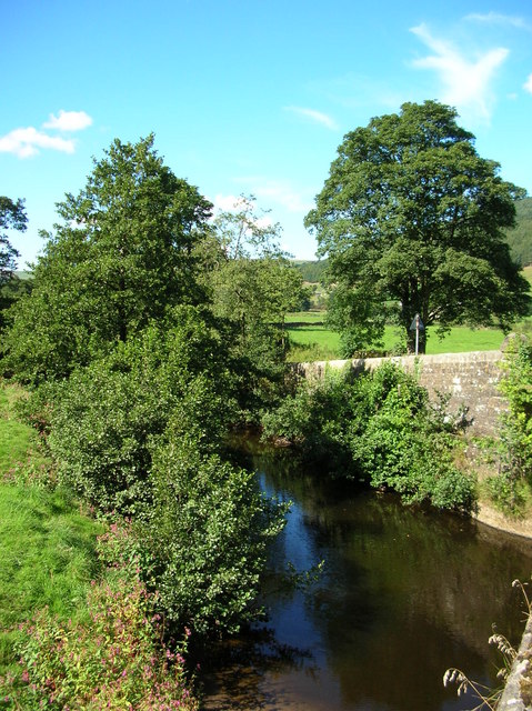
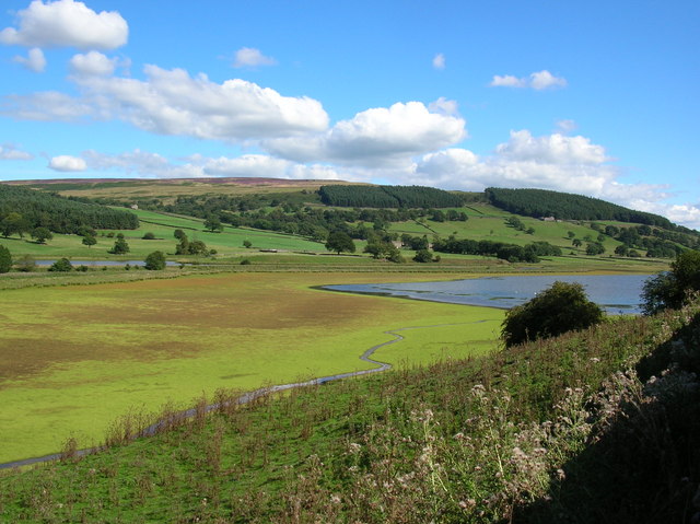
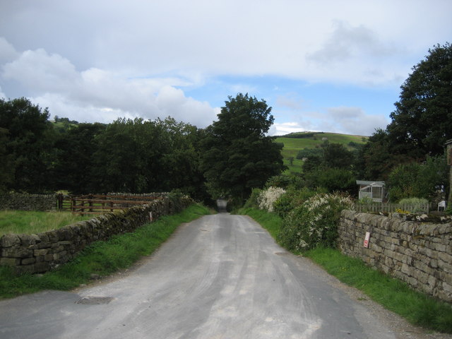
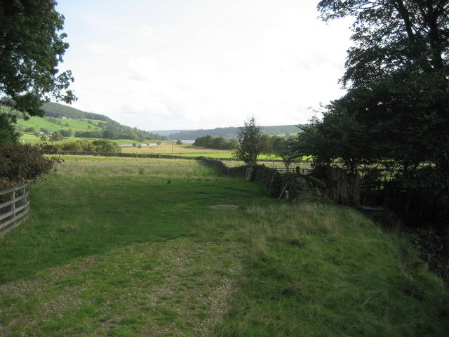
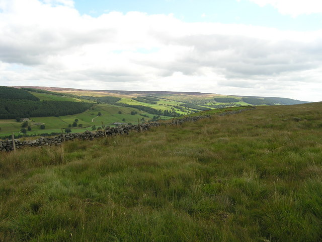
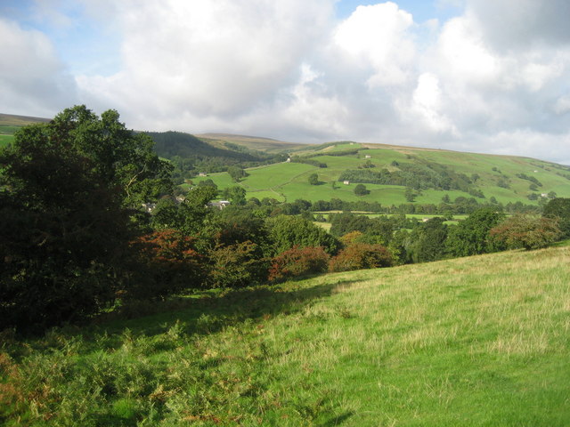
The landscape of Nidderdale is characterized by rolling hills, deep valleys, and meandering rivers, creating a breathtaking backdrop for outdoor enthusiasts and nature lovers. The River Nidd, which gives the valley its name, flows through the heart of the region, providing a haven for wildlife and offering opportunities for fishing and boating.

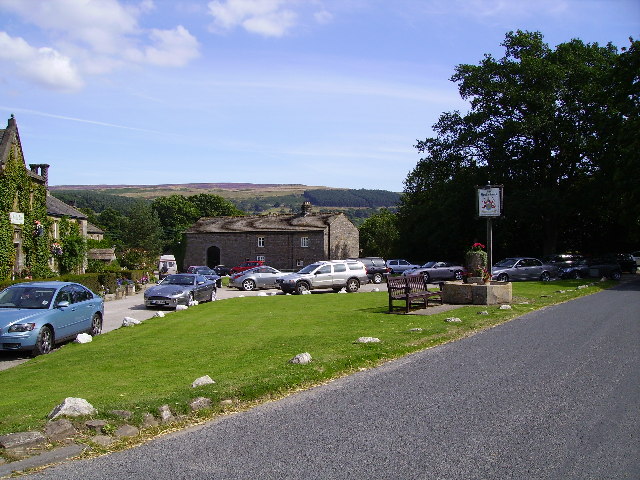
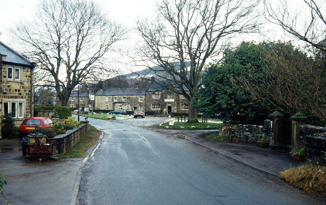
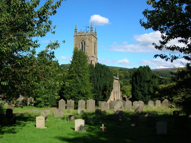
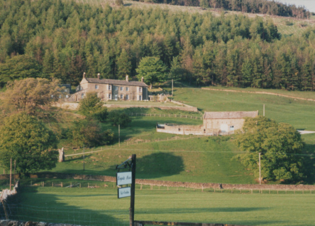
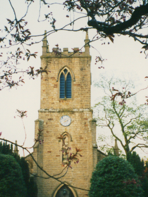
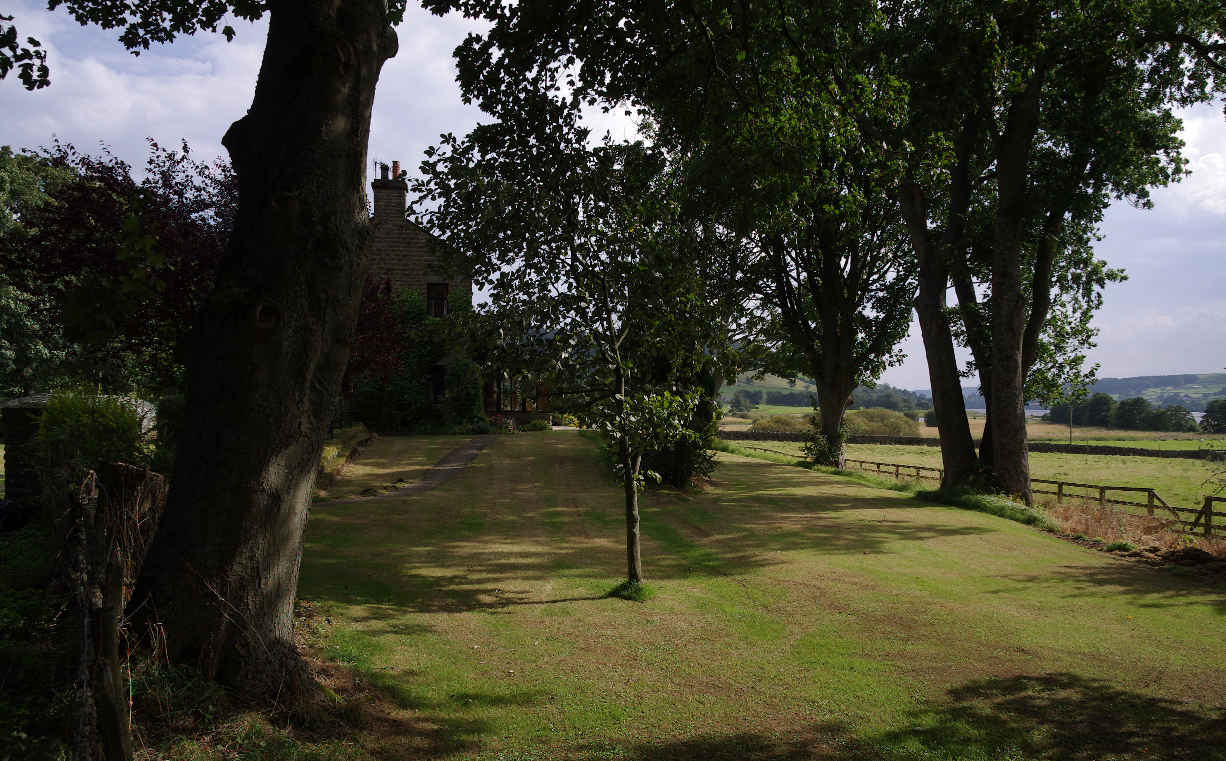
The valley is dotted with charming villages and hamlets, each with its own unique character and architectural heritage. Pateley Bridge, the main town in Nidderdale, is a bustling market town with quaint shops, traditional pubs, and a thriving community. The town also hosts the annual Nidderdale Show, a popular agricultural event that showcases the region's farming traditions.

Nidderdale is home to a wide variety of flora and fauna, including rare species such as the Nidderdale Red Squirrel and the Nidderdale Vole. It is also a haven for birdwatchers, with a diverse range of bird species found in the area, including the majestic red kite.

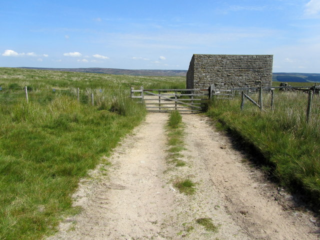
Visitors to Nidderdale can explore the numerous walking and cycling trails that crisscross the valley, offering breathtaking views of the surrounding countryside. The Nidderdale Way, a long-distance footpath, provides an excellent opportunity to explore the valley's highlights, including the stunning Scar House Reservoir and the impressive rock formation of Brimham Rocks.

In conclusion, Nidderdale is a truly enchanting destination, combining natural beauty, rich wildlife, and a deep-rooted sense of history. It offers a perfect escape for those seeking tranquility and a connection with nature, making it a must-visit location in Yorkshire.

If you have any feedback on the listing, please let us know in the comments section below.

Nidderdale Images

Images are sourced within 2km of 54.137684/-1.8254488 or Grid Reference SE1171. Thanks to Geograph Open Source API. All images are credited.

Sheepfold on Bents Back Drive Well established track heading east, before descending towards Upper Nidderdale.
There is no access down to Ramsgill for walkers after about half a mile of passing this sheepfold.
Sheepfold on Bents Back Drive
Well established track heading east, before descending towards Upper Nidderdale. There is no access down to Ramsgill for walkers after about half a mile of passing this sheepfold.
Ramsgill Right on the edge of the gridsquare. The Yorke Arms, Ramsgill.
Ramsgill
Right on the edge of the gridsquare. The Yorke Arms, Ramsgill.
Ramsgill Looking north into the centre of the village.
Ramsgill
Looking north into the centre of the village.
The head of Gouthwaite Reservoir A much depleted reservoir in July 2002.
The head of Gouthwaite Reservoir
A much depleted reservoir in July 2002.
Nidderdale Looking North East from road between Ramsgill and Lofthouse
Nidderdale
Looking North East from road between Ramsgill and Lofthouse
West House Farm Fields and Land belonging to the farm taken from entrance to farm
West House Farm
Fields and Land belonging to the farm taken from entrance to farm
Across Nidderdale Taken from the bend in the road, this is the view towards the Nidderdale way from between Lofthouse and Ramsgill.
Across Nidderdale
Taken from the bend in the road, this is the view towards the Nidderdale way from between Lofthouse and Ramsgill.
River Nidd Taken from next to the entrance to West House Farm. The Nidd runs from Scar House reservoir along the Nidd Valley through Patley Bridge and Knaresborough and joins with the River Ouse at Nun Monkton. The confluence is seen here: <a href="https://www.geograph.org.uk/photo/184550">SE5157 : Nun Monkton Priory</a>.
River Nidd
Taken from next to the entrance to West House Farm. The Nidd runs from Scar House reservoir along the Nidd Valley through Patley Bridge and Knaresborough and joins with the River Ouse at Nun Monkton. The confluence is seen here: SE5157 : Nun Monkton Priory.
Barn at Longside Halfway between Ramsgill and Lofthouse.
Barn at Longside
Halfway between Ramsgill and Lofthouse.
Nidd at Ramsgill From the road bridge over the Nidd.
Nidd at Ramsgill
From the road bridge over the Nidd.
Ramsgill Church Standing at the edge of Gouthwaite reservoir.
Ramsgill Church
Standing at the edge of Gouthwaite reservoir.
Marshland at Gouthwaite The amount of visible marsh varies a lot throughout the year with the reservoir. Taken in the middle of summer the reservoir at this end is fairly low, and much land is exposed.
Marshland at Gouthwaite
The amount of visible marsh varies a lot throughout the year with the reservoir. Taken in the middle of summer the reservoir at this end is fairly low, and much land is exposed.
Bouthwaite From the end of the cul-de-sac lane looking down its length towards Ramsgill
Bouthwaite
From the end of the cul-de-sac lane looking down its length towards Ramsgill
Countryside just north of Gouthwaite Reservoir Tranquil fields in Upper Nidderdale. What is interesting about this photograph is that a railway from Scar House once ran down on the left-hand side of the landscape pictured here - little evidence remains today.
Countryside just north of Gouthwaite Reservoir
Tranquil fields in Upper Nidderdale. What is interesting about this photograph is that a railway from Scar House once ran down on the left-hand side of the landscape pictured here - little evidence remains today.
Longside House Formerly the Ramsgill Youth Hostel (closed circa 1990?)
Longside House
Formerly the Ramsgill Youth Hostel (closed circa 1990?)
Tower of St Mary's church St Mary's, Ramsgill
Tower of St Mary's church
St Mary's, Ramsgill
Part of Upper Nidderdale View of this famous Yorkshire Dale from above Bouthwaite.
Part of Upper Nidderdale
View of this famous Yorkshire Dale from above Bouthwaite.
Drystone wall northeast of Ramsgill Bents View over wall to Longside House (the farm below the conifer plantation) on the east side of Nidderdale
Drystone wall northeast of Ramsgill Bents
View over wall to Longside House (the farm below the conifer plantation) on the east side of Nidderdale
Show me another place!

Nidderdale is located at Grid Ref: SE1171 (Lat: 54.137684, Lng: -1.8254488)

Division: West Riding

Administrative County: North Yorkshire

District: Harrogate

Police Authority: North Yorkshire

What 3 Words

///schematic.bothered.pipes. Near Pateley Bridge, North Yorkshire

Nearby Locations

Nidderdale

Related Wikis

Ramsgill

Ramsgill is a small village in Nidderdale, North Yorkshire, England, about 2 miles (3.2 km) south-east of Lofthouse, located near Gouthwaite Reservoir...

Yorke Arms

The Yorke Arms is a luxury events venue in Ramsgill, Nidderdale, in the Yorkshire Dales in northern England.The building began life as a shooting lodge...

Ramsgill railway station

Ramsgill railway station was a station on the Nidd Valley Light Railway in Nidderdale in Yorkshire, England. It opened in 1907 and closed in 1930. It was...

Bouthwaite

Bouthwaite is a hamlet in the Harrogate district of North Yorkshire, England. It is situated in Nidderdale, to the north of Pateley Bridge, close to the...

Nearby Amenities

Located within 500m of 54.137684,-1.8254488
Telephone
Booth: K6
Covered: booth
Fee: yes
Phone: +44 1423 755241
Source: survey
Lat/Long: 54.1346787/-1.8199921
Post Box
Collection Times: Mo-Fr 16:45; Sa 10:30
Post Box Type: wall
Ref: HG3 154
Royal Cypher: GR
Royal Cypher Wikidata: Q33102273
Lat/Long: 54.1346897/-1.8198752
Bus Stop
Ramsgill (The Yorkie Arms)
Bus: yes
Departures Board: timetable
Note: A timetable is attached to the telephone pole at this location for both directions. However, buses actually stop opposite the fountain about 50m SE
Public Transport: platform
Shelter: no
Lat/Long: 54.1346951/-1.8199952
Waste Basket
Lat/Long: 54.1346507/-1.8200488
Bench
Backrest: yes
Lat/Long: 54.1345042/-1.8200997
Bench
Backrest: yes
Historic: memorial
Inscription: In loving memory of Kathleen Brown 1935-1999 from Alan and all the family
Memorial: plaque
Lat/Long: 54.1345828/-1.8200793
Power: pole
Lat/Long: 54.1361398/-1.8183164
Power: pole
Lat/Long: 54.1368425/-1.8187747
Power: pole
Lat/Long: 54.1370051/-1.8197149
Power: pole
Lat/Long: 54.137157/-1.8206368
Power: pole
Lat/Long: 54.1373503/-1.8217576
Power: pole
Lat/Long: 54.1374976/-1.8226428
Power: pole
Lat/Long: 54.1379333/-1.8237427
Power: pole
Lat/Long: 54.1383629/-1.8247851
Power: pole
Lat/Long: 54.1388078/-1.8259033
Power: pole
Lat/Long: 54.1392343/-1.8269483
Power: pole
Lat/Long: 54.1396256/-1.8279565
Power: pole
Lat/Long: 54.1403144/-1.8286584
Power: pole
Lat/Long: 54.1409725/-1.8293445
Power: pole
Lat/Long: 54.1395995/-1.8186019
Power: pole
Lat/Long: 54.1400643/-1.8192016
Power: pole
Lat/Long: 54.1405783/-1.8198642
The data included in this document is from www.openstreetmap.org. The data is made available under ODbL.

Have you been to Nidderdale?

Leave your review of Nidderdale below (or comments, questions and feedback).