Harrow Clough

Valley in Yorkshire

England

Harrow Clough

St. Mary Magdalene's church, Outlane
St. Mary Magdalene's church, Outlane Credit: Steve Fareham

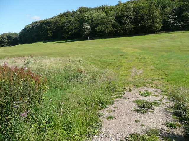
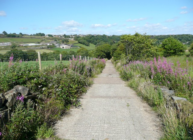
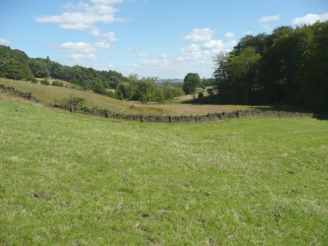
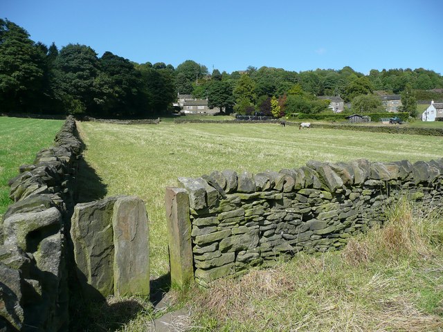
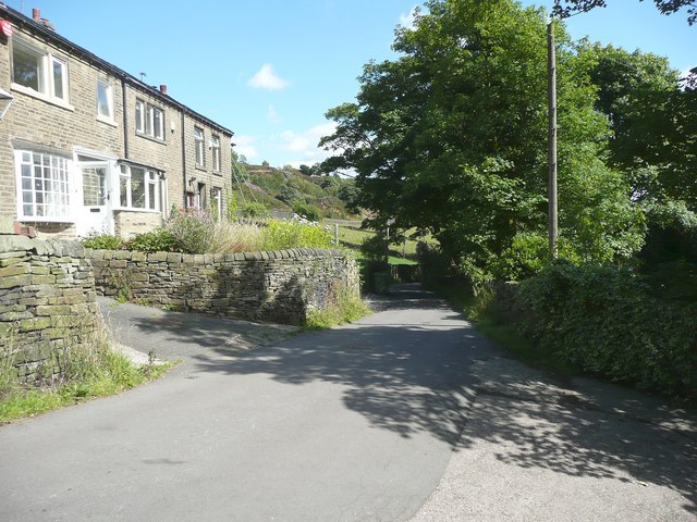
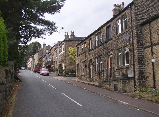
Harrow Clough, located in Yorkshire, England, is a picturesque valley nestled within the stunning countryside. Spanning approximately 2 miles in length, the valley is renowned for its natural beauty and tranquil atmosphere. It is situated within the district of Calderdale, close to the town of Hebden Bridge.

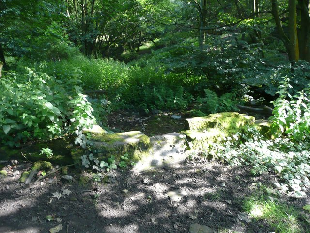
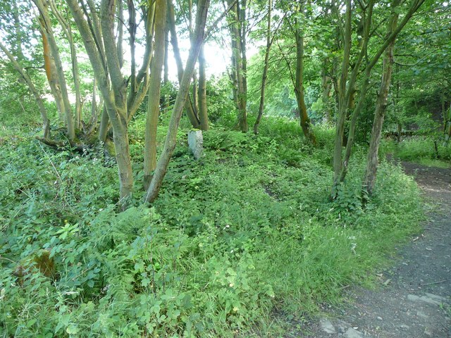
The valley is characterized by its lush greenery, rolling hills, and meandering streams. Harrow Clough is home to a diverse range of flora and fauna, making it a haven for nature enthusiasts and wildlife lovers. Visitors can expect to see a variety of plant species, including ferns, bluebells, and wild garlic, as well as an array of birdlife and small mammals.

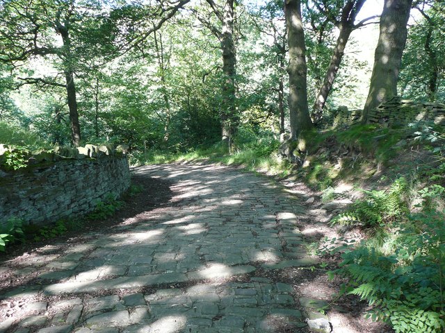
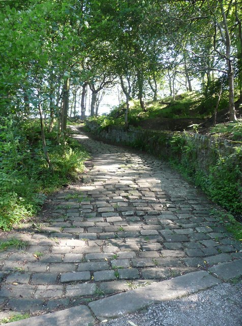
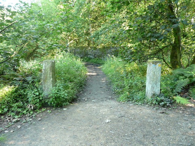
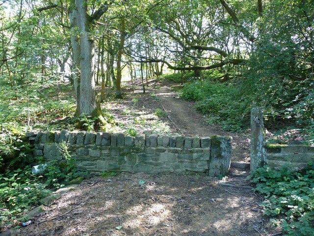
The valley offers numerous walking trails and footpaths, allowing visitors to explore the area's natural splendor at their own pace. The paths wind through woodlands, offering breathtaking views of the surrounding countryside. The babbling brooks and waterfalls that can be found along the way add to the valley's charm.

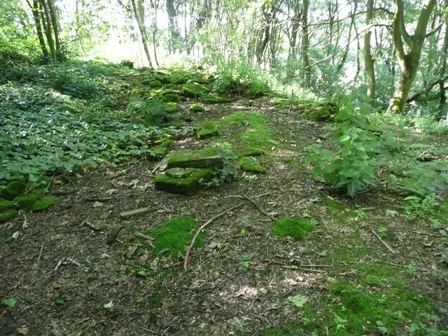
Harrow Clough is also rich in history and heritage. The valley was once a hub for the textile industry during the Industrial Revolution, with several mills dotted along the stream. Today, remnants of these mills can still be seen, adding a historical dimension to the landscape.

With its idyllic setting and diverse natural beauty, Harrow Clough is a popular destination for those seeking a peaceful retreat or an opportunity to connect with nature. Whether it is for a leisurely stroll, a picnic, or birdwatching, visitors are sure to find solace and tranquility in this enchanting Yorkshire valley.

If you have any feedback on the listing, please let us know in the comments section below.

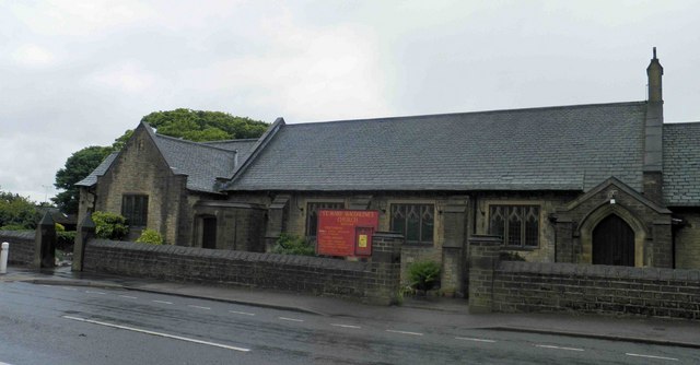
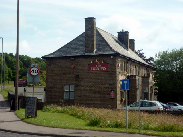
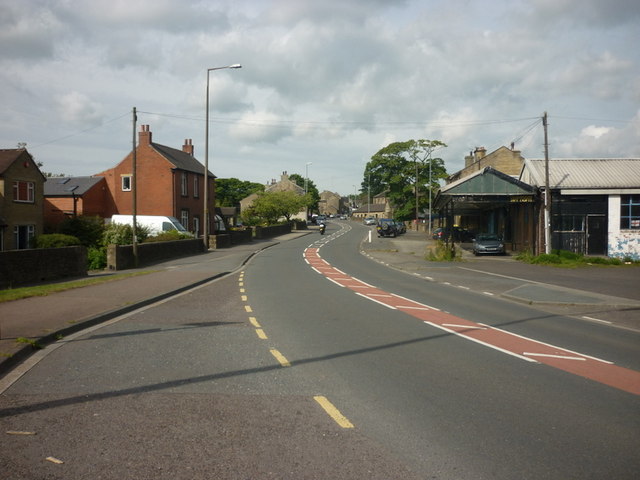
Harrow Clough Images

Images are sourced within 2km of 53.669129/-1.8495011 or Grid Reference SE1019. Thanks to Geograph Open Source API. All images are credited.

St. Mary Magdalene's church, Outlane
The 643, Lindley Moor Road
The A640, New Hey Road, goes over the M62
The Swan Inn on New Hey Road, Outlane
New Hey Road, Outlane
Path across the golf course, Longwood This path leads to Nettleton Hill via the site of Petty Royd, with a branch up through Pighill Wood.
Path across the golf course, Longwood
This path leads to Nettleton Hill via the site of Petty Royd, with a branch up through Pighill Wood.
Shaw Lane, Longwood An old lane, shown on the 1850 six-inch map, now with a modern concrete surface.
Shaw Lane, Longwood
An old lane, shown on the 1850 six-inch map, now with a modern concrete surface.
Shaw Lane, Longwood The bend at the top of the climb up through Hirst Wood.
Shaw Lane, Longwood
The bend at the top of the climb up through Hirst Wood.
Shaw Lane, Longwood The climb up through Hirst Wood. Paving this lane with setts must have been expensive; was it paid for by the owner of Shaw, or by the township?
Shaw Lane, Longwood
The climb up through Hirst Wood. Paving this lane with setts must have been expensive; was it paid for by the owner of Shaw, or by the township?
Site of Petty Royd, Longwood From the name I assume that this was a farmstead made by clearing woodland in the medieval or early modern period. There is very little of the buildings left now.
Site of Petty Royd, Longwood
From the name I assume that this was a farmstead made by clearing woodland in the medieval or early modern period. There is very little of the buildings left now.
Entrance to Hirst Mill, Longwood Not very grand, but presumably there was a gate here at one time.
Entrance to Hirst Mill, Longwood
Not very grand, but presumably there was a gate here at one time.
Footpath in Hirst Wood, Longwood This looks very tidy, with the wall and stile repaired and an edging to the path, which leads onto and across the golf course.
Footpath in Hirst Wood, Longwood
This looks very tidy, with the wall and stile repaired and an edging to the path, which leads onto and across the golf course.
Ruin in the site of Hirst Mill, Longwood  Not enough left to guess what part of the mill this was. Hirst Mill was founded at the end of the 19C, and functioned until the early 20C.
Ruin in the site of Hirst Mill, Longwood
Not enough left to guess what part of the mill this was. Hirst Mill was founded at the end of the 19C, and functioned until the early 20C.
Site of Hirst Mill Cottages, Longwood There were two cottages here until the 1950s. Now all that is left is what looks like a gravestone.
Site of Hirst Mill Cottages, Longwood
There were two cottages here until the 1950s. Now all that is left is what looks like a gravestone.
The valley of Longwood Brook
Footpath into the valley from Snow Lea, Longwood The houses are along Lamb Hall Road at Snow Lea.
Footpath into the valley from Snow Lea, Longwood
The houses are along Lamb Hall Road at Snow Lea.
Lamb Hall Road at Snow Lea
Gate and stile at Leys Farm, Longwood
Show me another place!

Harrow Clough is located at Grid Ref: SE1019 (Lat: 53.669129, Lng: -1.8495011)

Division: West Riding

Unitary Authority: Calderdale

Police Authority: West Yorkshire

What 3 Words

///fancy.remark.award. Near Holywell Green, West Yorkshire

Related Wikis

Blackley, West Yorkshire

Blackley is a hamlet in the Calderdale district, in the county of West Yorkshire, England. It is near the town of Elland, the A629 road and the M62 motorway...

Old Lindley

Old Lindley or Over Lindley is a hamlet in the civil parish of Stainland and District, in the Calderdale district, in the county of West Yorkshire, England...

Stainland and Holywell Green railway station

Stainland and Holywell Green railway station served the villages of Stainland and Holywell Green in West Yorkshire, England from 1875 until 1929. Goods...

Stainland and District

Stainland and District is a civil parish in the Metropolitan Borough of Calderdale in West Yorkshire, England. The main settlements in the parish are Stainland...

Holywell Green

Holywell Green is a village in the civil parish of Stainland and District, in the Calderdale, district, in the county of West Yorkshire, England. The village...

The Brooksbank School

The Brooksbank School is a secondary school with academy status in Elland, near Halifax in West Yorkshire, England. It is a sports college, as well as...

Ainley Top

Ainley Top is a village in Calderdale, West Yorkshire in England. It is situated approximately 3 miles (4.8 km) north west of Huddersfield on the A629...

Church of All Saints, Elland

The Church of All Saints is a Church of England parish church in Elland, Calderdale, West Yorkshire. The church is a grade II* listed building. == History... ==

Nearby Amenities

Located within 500m of 53.669129,-1.8495011
Motorway Junction
Ainley Top
Ref: 24
Lat/Long: 53.6668192/-1.8432577
Power: tower
Lat/Long: 53.6686069/-1.8433861
Power: tower
Lat/Long: 53.6687179/-1.8498937
Power: tower
Lat/Long: 53.66745/-1.8544058
Barrier: stile
Lat/Long: 53.6727503/-1.853935
Barrier: stile
Lat/Long: 53.669459/-1.8550896
Barrier: stile
Lat/Long: 53.6701145/-1.8557078
Barrier: stile
Lat/Long: 53.6687242/-1.8448287
Barrier: stile
Bicycle: no
Foot: yes
Horse: no
Material: stone
Motor Vehicle: no
Stile: squeezer
Lat/Long: 53.6660109/-1.849706
Power: pole
Lat/Long: 53.6669792/-1.8436378
Power: pole
Lat/Long: 53.667475/-1.8442038
Power: pole
Lat/Long: 53.667974/-1.8447992
Power: pole
Lat/Long: 53.6679899/-1.8459713
Power: pole
Lat/Long: 53.6679963/-1.8472669
Power: pole
Lat/Long: 53.6673638/-1.8488574
Power: pole
Lat/Long: 53.6668394/-1.8508476
Power: pole
Lat/Long: 53.6665406/-1.8520251
Power: pole
Lat/Long: 53.6659701/-1.8542433
Crossing
Lat/Long: 53.6681785/-1.8430838
Barrier: stile
Bicycle: no
Foot: yes
Horse: no
Motor Vehicle: no
Lat/Long: 53.669263/-1.8462887
Barrier: stile
Lat/Long: 53.6691064/-1.8443118
Barrier: stile
Lat/Long: 53.6692998/-1.8432216
Man Made: mast
Lat/Long: 53.6656498/-1.8471447
The data included in this document is from www.openstreetmap.org. The data is made available under ODbL.

Have you been to Harrow Clough?

Leave your review of Harrow Clough below (or comments, questions and feedback).