Churnet Valley
Valley in Staffordshire Staffordshire Moorlands
England
Churnet Valley
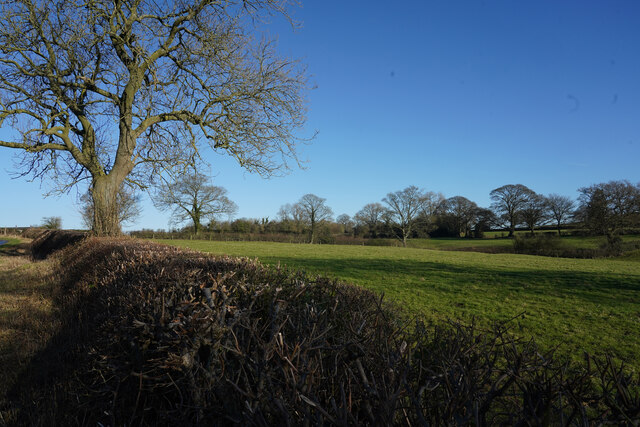
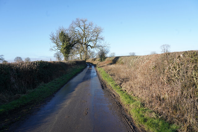
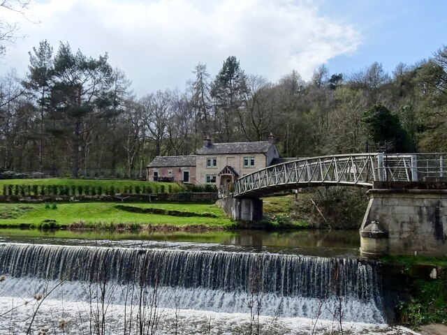
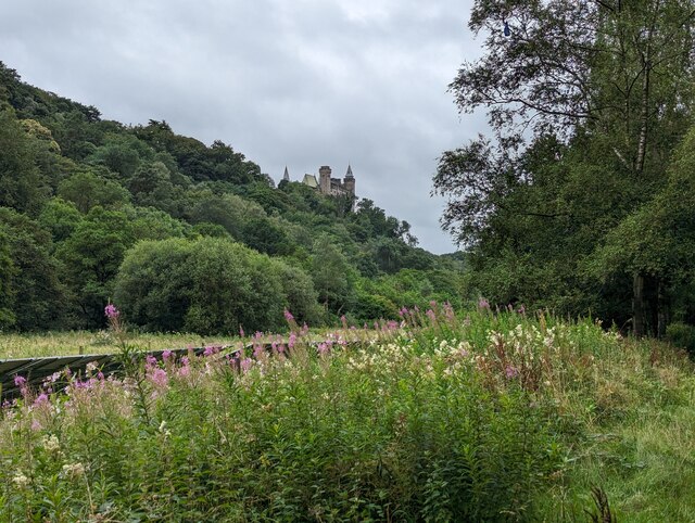
Churnet Valley is a picturesque valley located in Staffordshire, England. It is named after the River Churnet that runs through the valley, adding to its natural beauty. The valley is known for its stunning landscapes, charming villages, and rich industrial heritage.
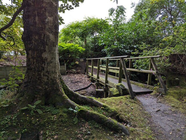
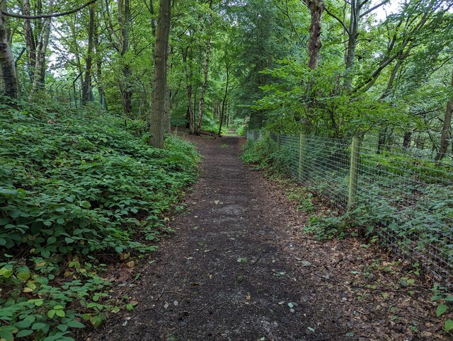
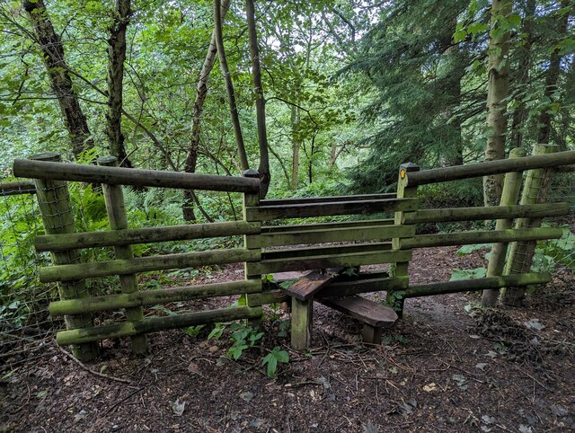
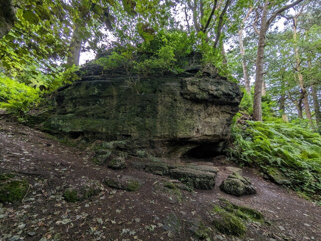
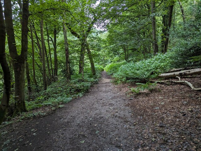
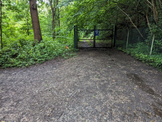
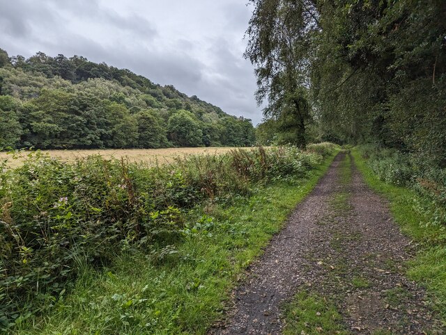
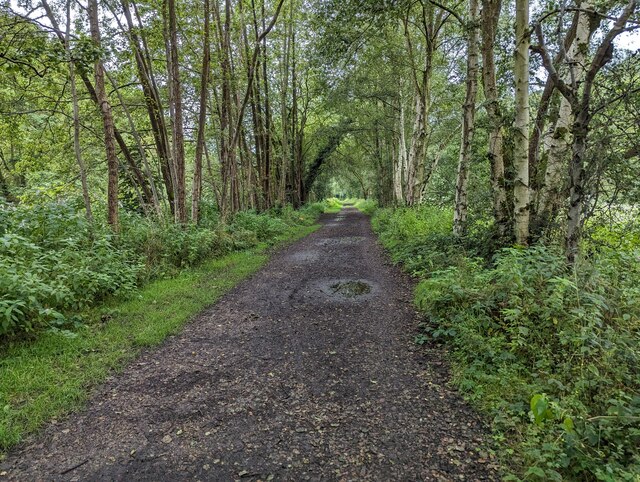
The Churnet Valley is a popular destination for outdoor enthusiasts and nature lovers. It offers a wide range of activities such as hiking, cycling, and horse riding, with numerous trails and paths that allow visitors to explore the area's natural wonders. The valley is also home to several nature reserves, providing a habitat for a variety of wildlife and plant species.
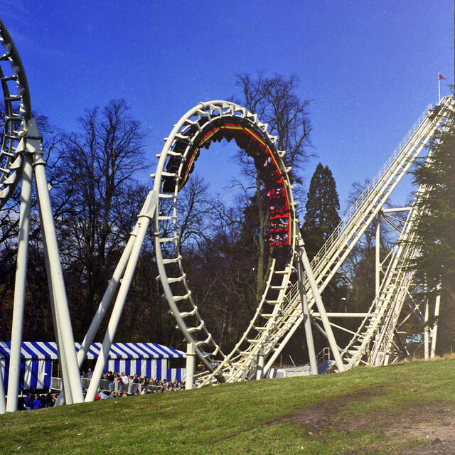
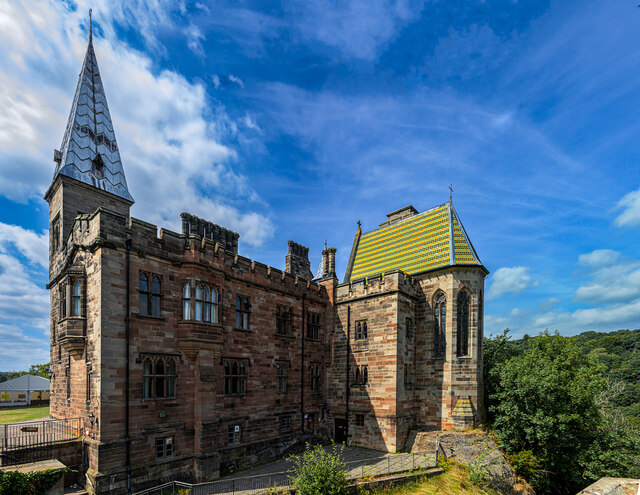
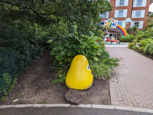
The villages within the Churnet Valley are quaint and traditional, with beautiful cottages and historic buildings. One of the most notable villages is Alton, which is famous for its stunning medieval castle, Alton Towers. The theme park attracts millions of visitors each year and offers thrilling rides, themed areas, and beautiful gardens.
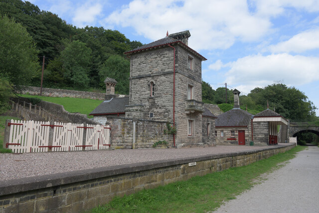
In addition to its natural beauty, the Churnet Valley has a rich industrial heritage. The valley was once a hub for the pottery and coal mining industries, and remnants of this history can still be seen today. The Caldon Canal, which runs through the valley, was used for transporting goods and is now a popular spot for boating and fishing.
Overall, the Churnet Valley is a charming and diverse area that offers something for everyone. From its stunning landscapes to its rich history, it is a place that captivates visitors with its natural beauty and cultural significance.
If you have any feedback on the listing, please let us know in the comments section below.
Churnet Valley Images
Images are sourced within 2km of 52.983342/-1.8768395 or Grid Reference SK0842. Thanks to Geograph Open Source API. All images are credited.
Churnet Valley is located at Grid Ref: SK0842 (Lat: 52.983342, Lng: -1.8768395)
Administrative County: Staffordshire
District: Staffordshire Moorlands
Police Authority: Staffordshire
What 3 Words
///dock.weekend.showrooms. Near Cheadle, Staffordshire
Nearby Locations
Related Wikis
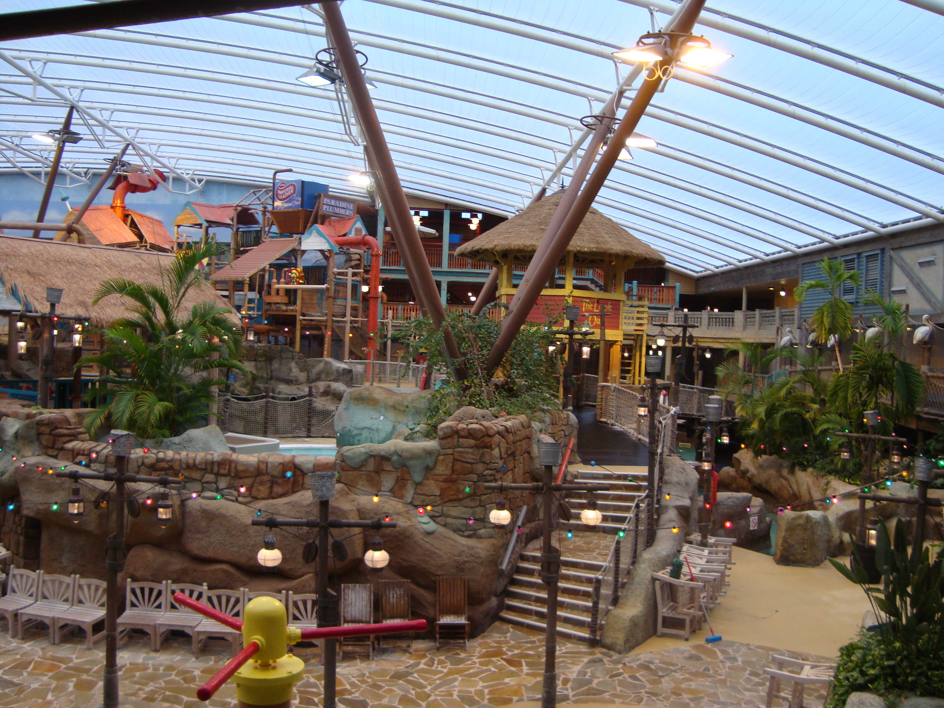
Alton Towers Waterpark
Alton Towers Waterpark, previously known as Cariba Creek, is a water park at Alton Towers Resort, in Staffordshire, England. It is themed to a tropical...

Galactica (roller coaster)
Galactica is a flying roller coaster located in the Forbidden Valley area of Alton Towers amusement park in Staffordshire, England. It originally opened...
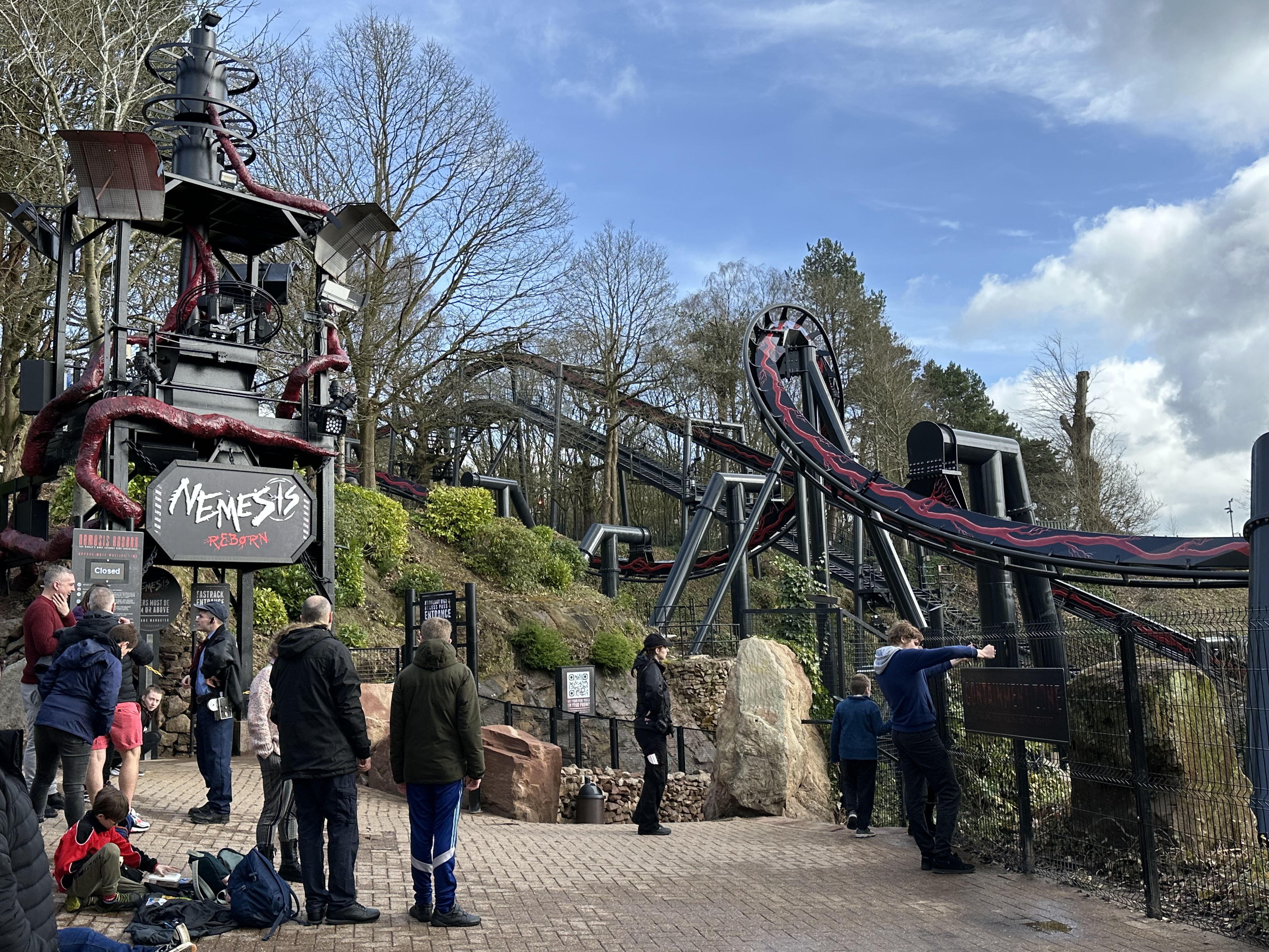
Nemesis Reborn
Nemesis Reborn, previously Nemesis, is an inverted roller coaster located at the Alton Towers theme park in Staffordshire, England. Manufactured by Bolliger...

Nemesis: Sub-Terra
Nemesis Sub-Terra is a drop tower dark ride located at Alton Towers theme park in Staffordshire, United Kingdom. The ride opened to the public on 24 March...
Nearby Amenities
Located within 500m of 52.983342,-1.8768395Have you been to Churnet Valley?
Leave your review of Churnet Valley below (or comments, questions and feedback).