Hey Clough
Valley in Cheshire High Peak
England
Hey Clough
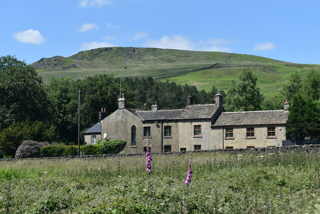
Hey Clough is a small village located in the Cheshire Valley, England. Nestled in the picturesque countryside, this charming village is known for its tranquil atmosphere and stunning natural surroundings.
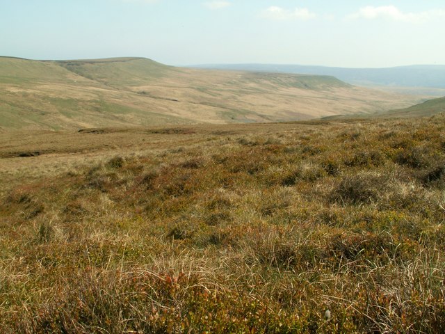
The village is situated in the lush Cheshire Valley, which is renowned for its rolling hills, meandering rivers, and abundant greenery. Hey Clough is surrounded by beautiful landscapes, making it an ideal destination for nature lovers and outdoor enthusiasts. The nearby Clough River adds to the village's charm, providing scenic views and opportunities for fishing and boating.
Despite its small size, Hey Clough offers a range of amenities to its residents and visitors. The village has a local pub, where visitors can enjoy a traditional British pint and experience the warm hospitality of the locals. There is also a small convenience store, providing essential supplies to the community.
Hey Clough is well-connected to neighboring towns and cities, with good transportation links. The village is just a short drive away from the town of Macclesfield, which offers a wider range of amenities including shops, restaurants, and entertainment options.
The village is also surrounded by several popular walking and cycling trails, allowing visitors to explore the stunning countryside and enjoy the tranquility of the area. Additionally, the nearby Peak District National Park offers endless opportunities for outdoor activities such as hiking, camping, and rock climbing.
In summary, Hey Clough is a charming village located in the scenic Cheshire Valley, known for its natural beauty and peaceful ambiance. With its picturesque landscapes, friendly community, and proximity to amenities and outdoor activities, Hey Clough is a hidden gem worth exploring.
If you have any feedback on the listing, please let us know in the comments section below.
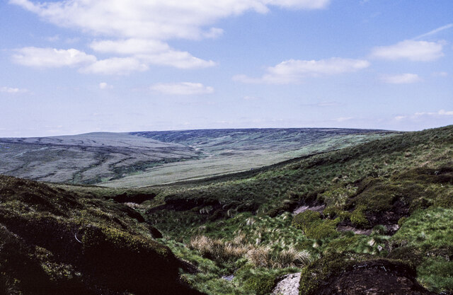
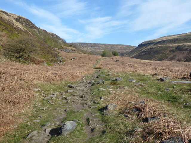
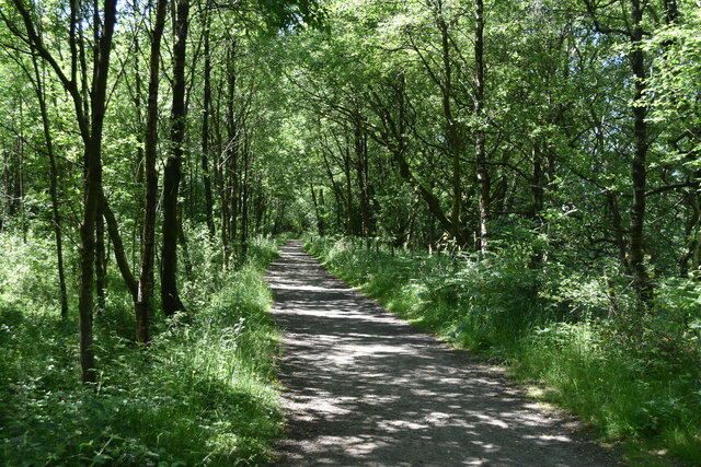
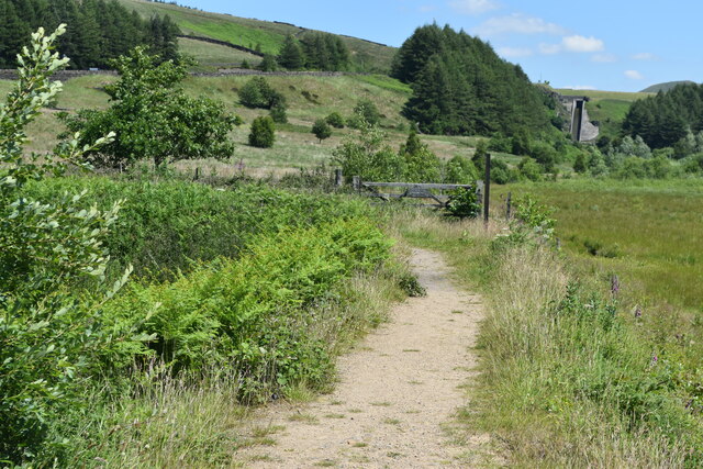
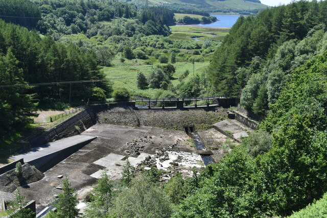
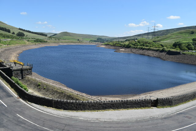
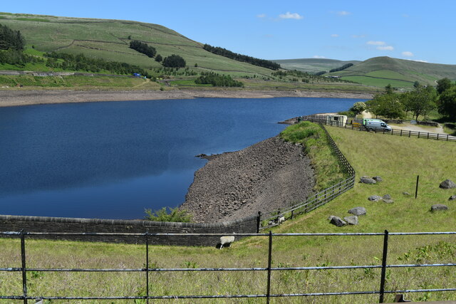
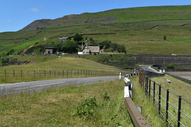
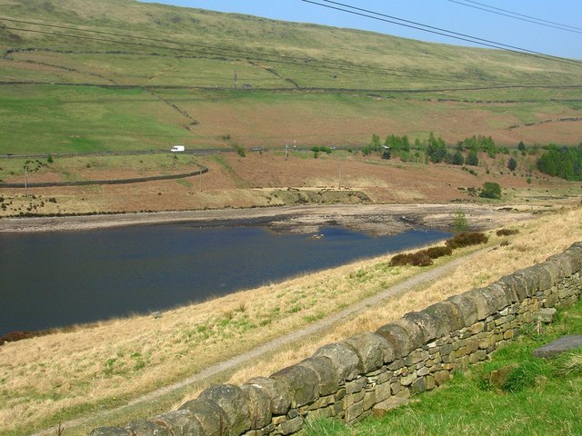
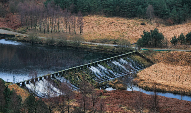
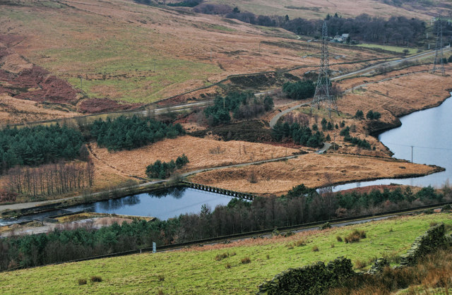
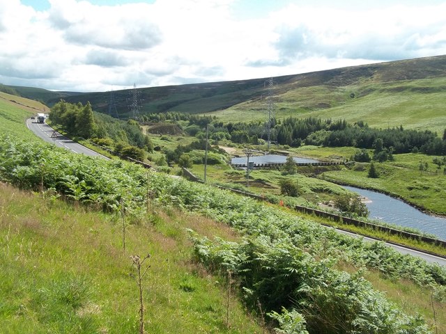
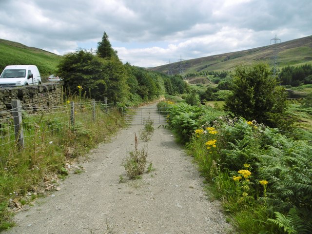
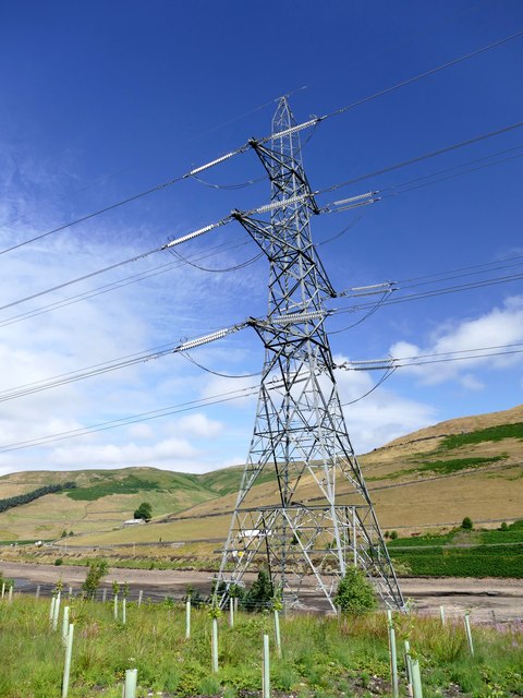
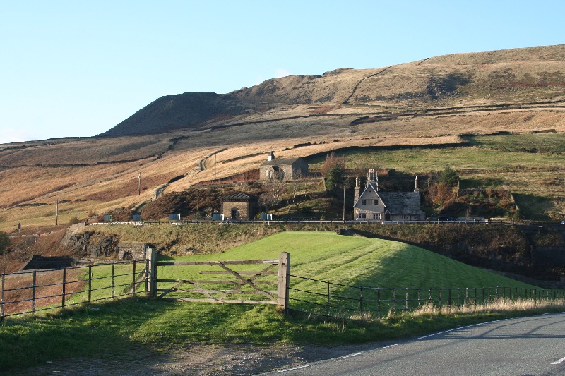
Hey Clough Images
Images are sourced within 2km of 53.50168/-1.8754511 or Grid Reference SE0800. Thanks to Geograph Open Source API. All images are credited.
Hey Clough is located at Grid Ref: SE0800 (Lat: 53.50168, Lng: -1.8754511)
Administrative County: Derbyshire
District: High Peak
Police Authority: Derbyshire
What 3 Words
///opts.cashiers.labels. Near Glossop, Derbyshire
Nearby Locations
Related Wikis

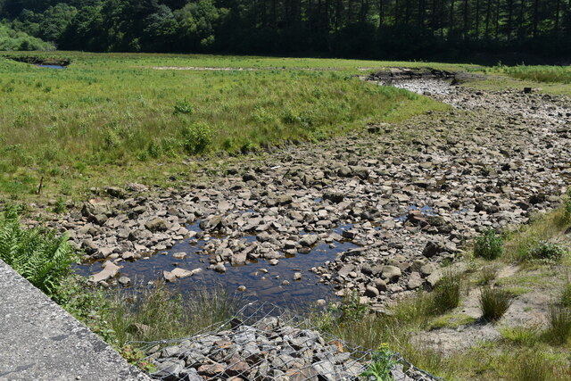
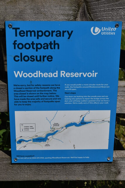
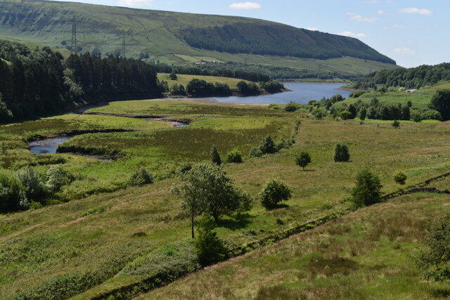
Woodhead Reservoir
Woodhead reservoir is a man-made lake near the hamlet of Woodhead in Longdendale in north Derbyshire, England. It was constructed by John Frederick Bateman...

Crowden railway station
Crowden railway station is a closed railway station on the Woodhead Line between Manchester and Sheffield, that served the hamlet of Crowden, Derbyshire...
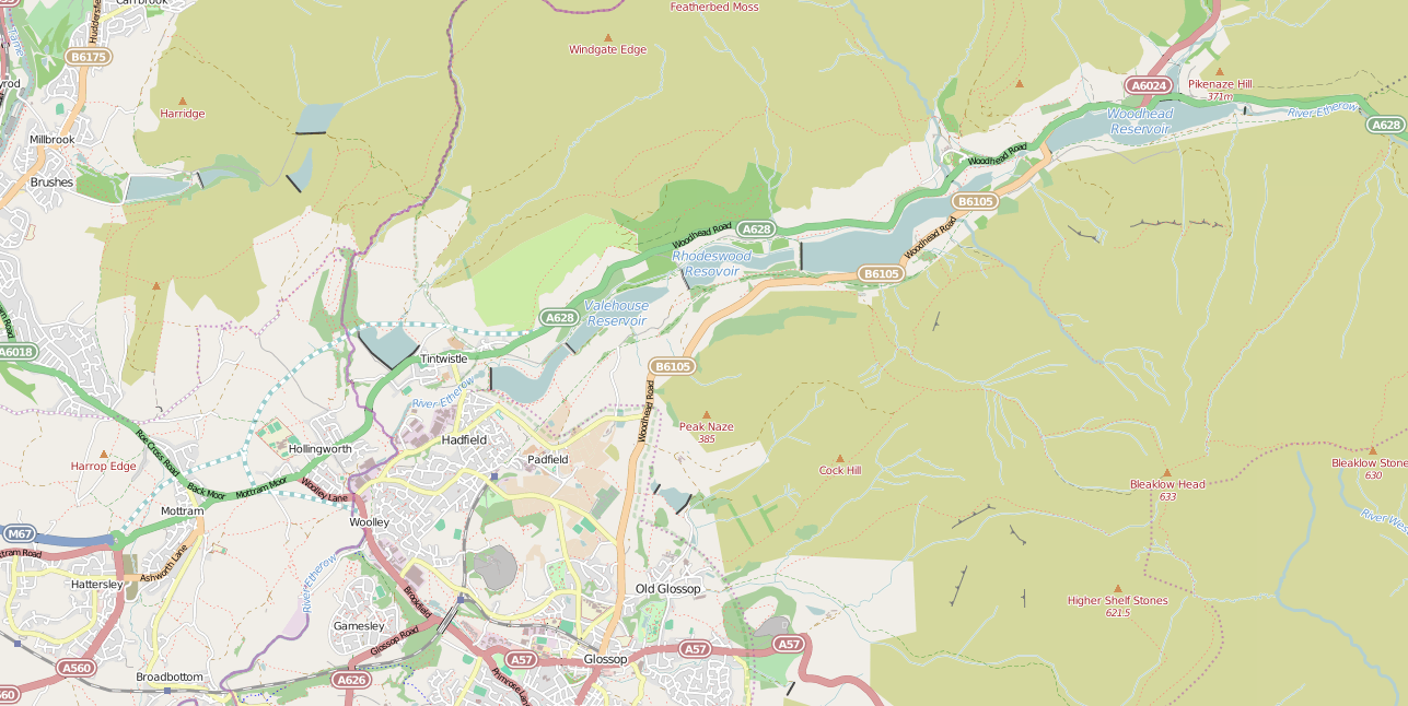
Longdendale Chain
The Longdendale Chain is a sequence of six reservoirs on the River Etherow in the Longdendale Valley, in northern Derbyshire. They were constructed between...

Crowden, Derbyshire
Crowden (also known as Crowden-in-Longdendale) is a hamlet in the High Peak borough of Derbyshire, England. Historically a part of Cheshire, Crowden was...
Woodhead, Derbyshire
Woodhead is a small and scattered settlement at the head of the Longdendale valley in Derbyshire, England. It lies on the trans-Pennine A628 road connecting...

Torside Reservoir
Torside Reservoir is the largest man-made lake in Longdendale in north Derbyshire, England. It was constructed by John Frederick Bateman between April...
Britland Edge Hill
Britland Edge Hill is a hill, 523 metres (1,716 ft) high, in the Peak District in England. It is located on the border of Derbyshire and West Yorkshire...
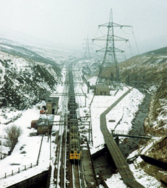
Woodhead railway station
Woodhead railway station was a railway station that served the hamlet of Woodhead on the Woodhead Line. == History == The station was opened on 8 April...
Nearby Amenities
Located within 500m of 53.50168,-1.8754511Have you been to Hey Clough?
Leave your review of Hey Clough below (or comments, questions and feedback).