Bolehill Clough

Valley in Derbyshire High Peak

England

Bolehill Clough

Byway to Chapel Gate Track The path to Brown Knoll leaves to the left off  the byway to Chapel Gate track
Byway to Chapel Gate Track Credit: Shaun Ferguson

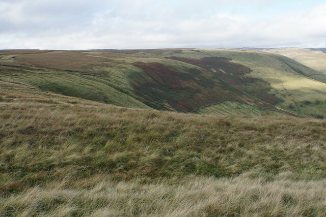
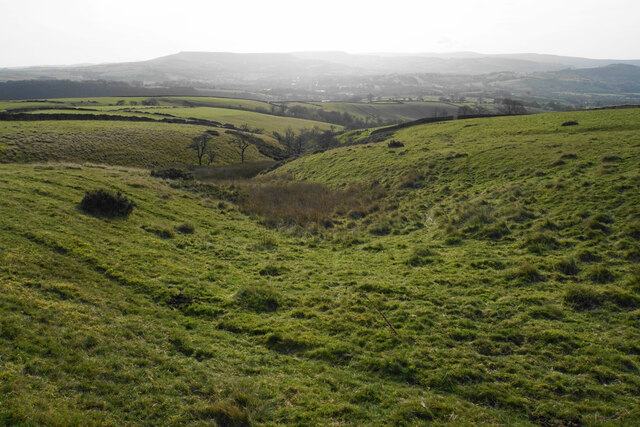
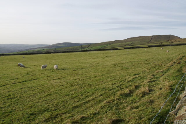
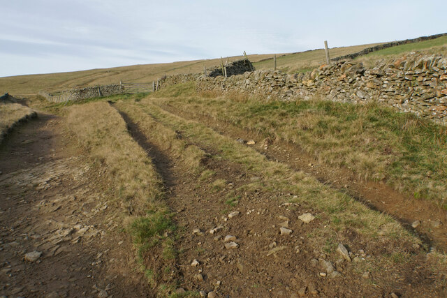
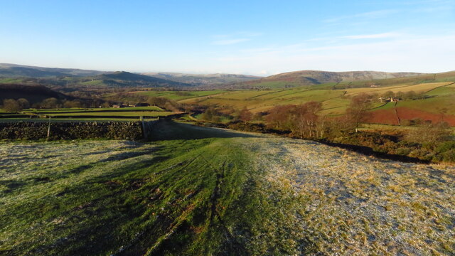
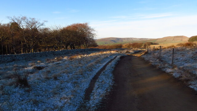
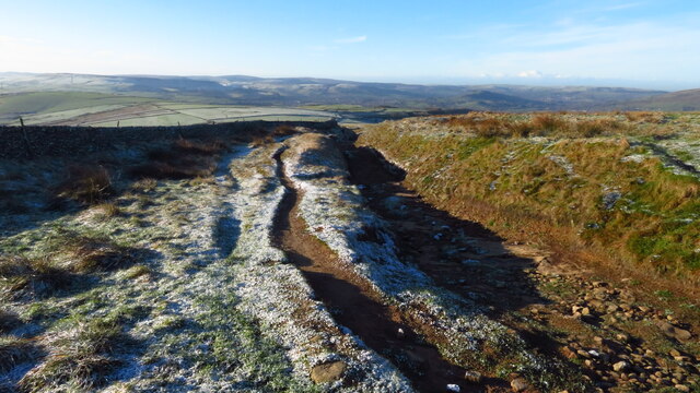
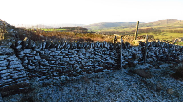
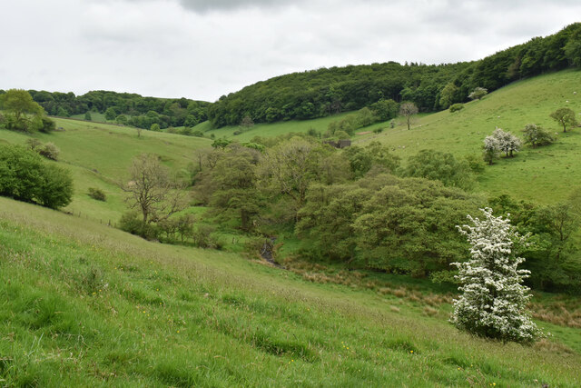
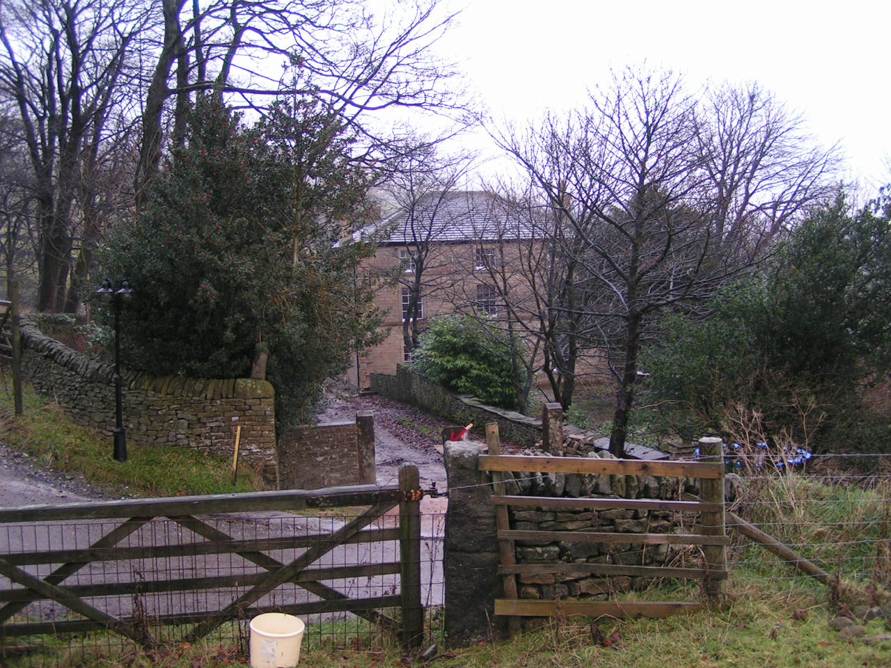
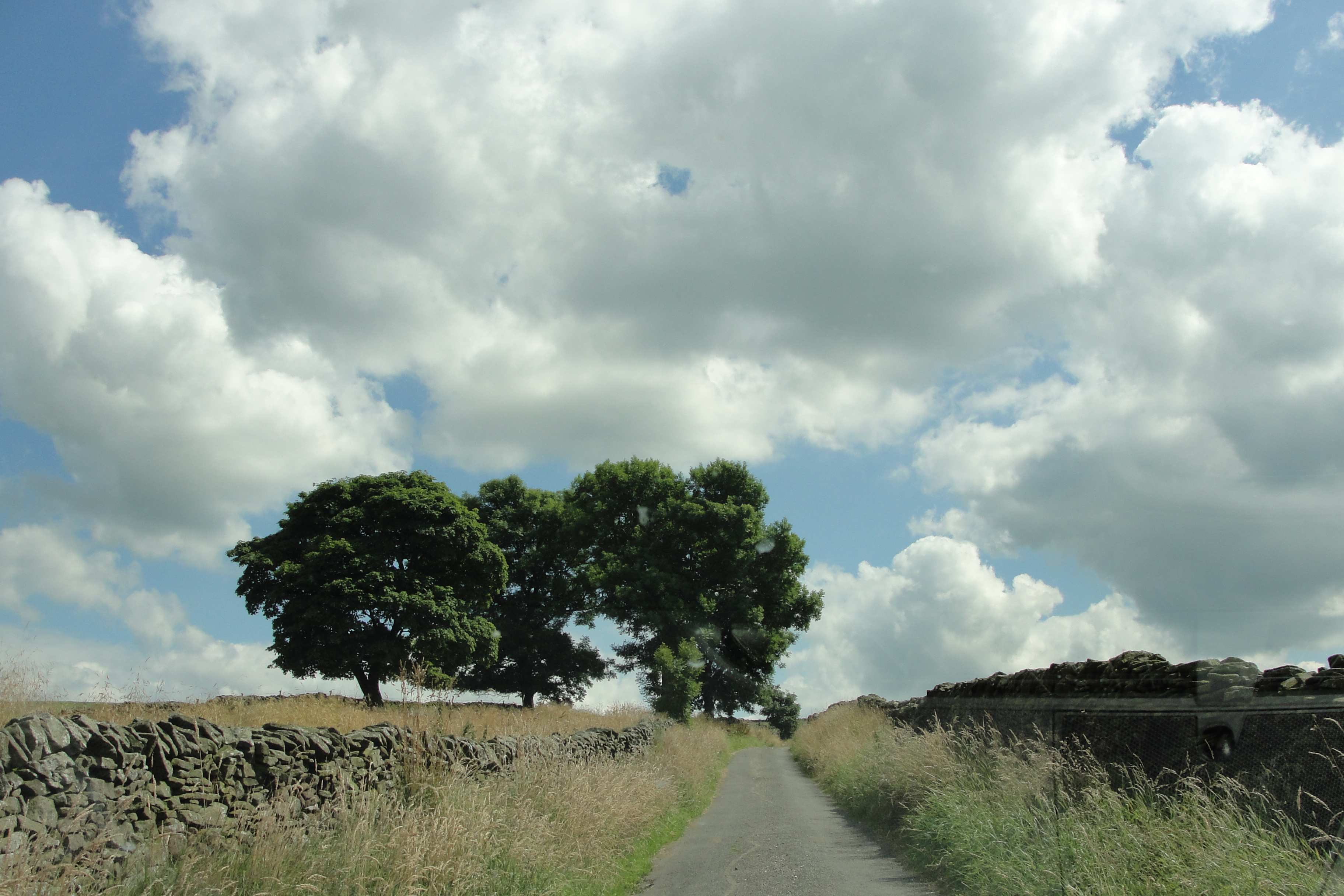
Bolehill Clough is a picturesque valley located in Derbyshire, England. Situated near the village of Wirksworth, the clough is known for its natural beauty and tranquil atmosphere. The valley is formed by a small stream, which meanders through the landscape, creating cascades and small waterfalls along its course.

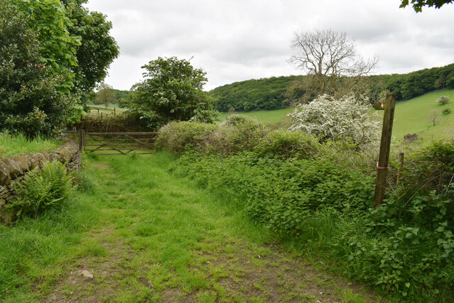
The area is abundant in diverse flora and fauna, making it a haven for nature enthusiasts and wildlife lovers. The lush greenery of Bolehill Clough is home to a variety of plant species, including oak trees, wildflowers, and mosses. In spring and summer, the valley is adorned with vibrant colors, as the flowers bloom and the trees sway in the gentle breeze.

The clough also provides habitat for numerous bird species, such as woodpeckers, thrushes, and various songbirds. It is not uncommon to hear their melodic calls while strolling through the valley. Additionally, small mammals like rabbits, squirrels, and hedgehogs can be spotted in the area, adding to the biodiversity of the region.

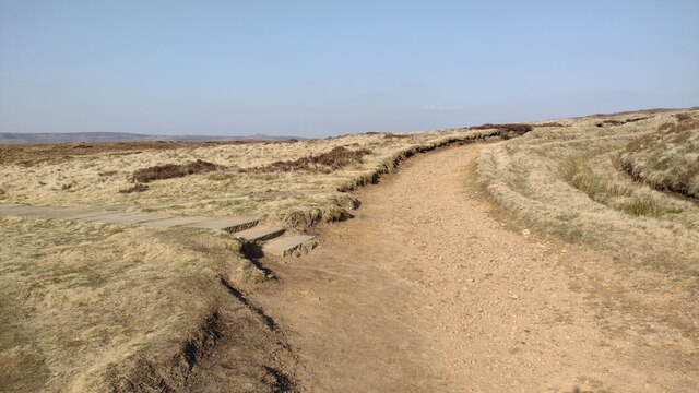
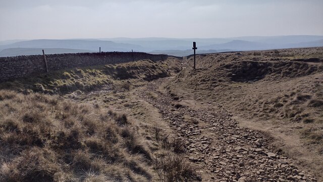
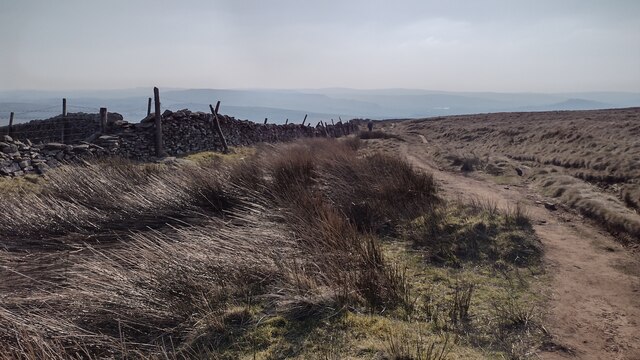
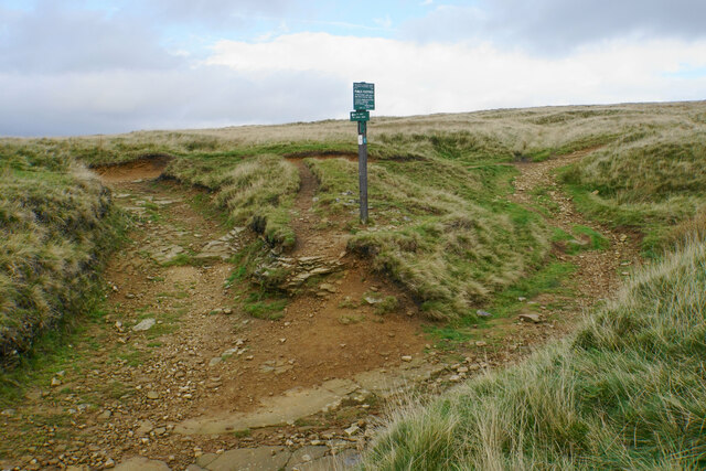
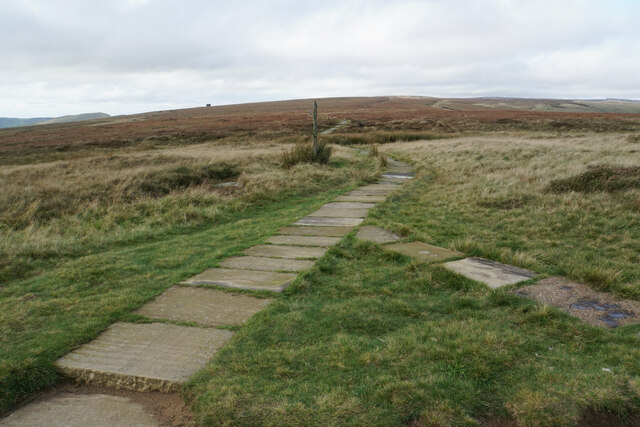
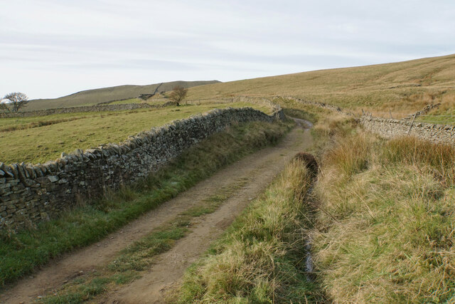
Bolehill Clough offers several walking trails and footpaths, allowing visitors to explore the natural wonders it has to offer. The paths wind through the valley, offering breathtaking views of the surrounding countryside and glimpses of the stream as it flows gracefully through the landscape.

Overall, Bolehill Clough is a hidden gem in Derbyshire, offering a serene and idyllic escape from the hustle and bustle of everyday life. Its natural beauty and rich biodiversity make it a must-visit destination for nature enthusiasts and those seeking tranquility in the heart of England.

If you have any feedback on the listing, please let us know in the comments section below.

Bolehill Clough Images

Images are sourced within 2km of 53.341614/-1.8771035 or Grid Reference SK0882. Thanks to Geograph Open Source API. All images are credited.

Byway to Chapel Gate Track The path to Brown Knoll leaves to the left off  the byway to Chapel Gate track
Byway to Chapel Gate Track
The path to Brown Knoll leaves to the left off the byway to Chapel Gate track
Byway heads to Rushup Road Byway heads off the moorland down to Rushup Road
Byway heads to Rushup Road
Byway heads off the moorland down to Rushup Road
Bridleway heading down to Rushup Road From Rushup Edge the bridleway heading down to Rushup Road
Bridleway heading down to Rushup Road
From Rushup Edge the bridleway heading down to Rushup Road
Path junction below Rushup Edge The junction is marked by Peak & Northern Footpaths Society sign no. 124. The paths are showing signs of a lot of water erosion as well as the effect of humans.
Path junction below Rushup Edge
The junction is marked by Peak & Northern Footpaths Society sign no. 124. The paths are showing signs of a lot of water erosion as well as the effect of humans.
Path to Brown Knoll The path is now paved all the way. I remember how it used to be before the paving, and the bogs could be quite challenging.
Path to Brown Knoll
The path is now paved all the way. I remember how it used to be before the paving, and the bogs could be quite challenging.
Path to Edale Still crossing the ridge before beginning the descent.
Path to Edale
Still crossing the ridge before beginning the descent.
Hills at the head of Edale The nearest hill is Colborne, and Whitemoor Clough runs off it.
Hills at the head of Edale
The nearest hill is Colborne, and Whitemoor Clough runs off it.
Clough dropping down towards Chapel-en-le-Frith The water here drains into Black Brook and then the River Goyt. There is low winter sun over Black Edge and Shining Tor.
Clough dropping down towards Chapel-en-le-Frith
The water here drains into Black Brook and then the River Goyt. There is low winter sun over Black Edge and Shining Tor.
Pennine Bridleway towards South Head A long steady but gentle climb towards South Head which can be seen.
Pennine Bridleway towards South Head
A long steady but gentle climb towards South Head which can be seen.
Field entrances below The Roych The Pennine Bridleway goes through the left gate before crossing Roych Clough. The line of Roych Clough can be seen ahead flowing from left to right.
Field entrances below The Roych
The Pennine Bridleway goes through the left gate before crossing Roych Clough. The line of Roych Clough can be seen ahead flowing from left to right.
Field of sheep below The Roych Grazing land below the Pennine Bridleway. South Head stands ahead.
Field of sheep below The Roych
Grazing land below the Pennine Bridleway. South Head stands ahead.
Field entrance off the Pennine Bridleway The Pennine Bridleway continues to the left. The grazing land above the bridleway is access land, though I am not sure if anyone uses the privilege here. There isn't a route up the hill to Brown Knoll.
Field entrance off the Pennine Bridleway
The Pennine Bridleway continues to the left. The grazing land above the bridleway is access land, though I am not sure if anyone uses the privilege here. There isn't a route up the hill to Brown Knoll.
Track above Malcoff
Track above Malcoff
Pennine Bridleway at Tom Moor Plantation
Track west of Rushup Edge
Stile with sprinkling of snow on Breck Edge
The valley of Hockham Brook Looking up the valley from the land below Malcoff.
The valley of Hockham Brook
Looking up the valley from the land below Malcoff.
Farm track and footpath near Malcoff The path crosses the valley of Hockham Brook to Bowden Head.
Farm track and footpath near Malcoff
The path crosses the valley of Hockham Brook to Bowden Head.
Show me another place!

Bolehill Clough is located at Grid Ref: SK0882 (Lat: 53.341614, Lng: -1.8771035)

Administrative County: Derbyshire

District: High Peak

Police Authority: Derbyshire

What 3 Words

///drummers.catch.gross. Near Chapel en le Frith, Derbyshire

Nearby Locations

Bolehill Clough

Related Wikis

Chestnut Centre

The Chestnut Centre (or in full, Chestnut Centre Otter, Owl and Wildlife Park) was a wildlife park near Chapel-en-le-Frith, Derbyshire, UK. It opened in...

Slackhall

Slackhall is a hamlet in Derbyshire, England. The hamlet falls within the civil parish of Chapel-en-le-Frith. It is about 1.2 km (or 0.75 miles) east of...

Rushop

Rushop or Rushup is a small North Derbyshire village. It is in the town of Chapel-en-le-Frith. Agriculture has until recently been the main occupation...

Cowburn Tunnel

The Cowburn Tunnel is a railway tunnel at the western end of the Vale of Edale in the Derbyshire Peak District of England. The tunnel is 3,702 yards (3...

Bagshaw

Bagshaw is a hamlet in Derbyshire, England. The hamlet falls within the civil parish of Chapel-en-le-Frith. It is about 1.2 km or 0.75 miles east of Chapel...

High Peak, Derbyshire

High Peak is a local government district with borough status in Derbyshire, England, covering a high moorland plateau in the Dark Peak area of the Peak...

High Peak (UK Parliament constituency)

High Peak is a parliamentary constituency represented in the House of Commons of the UK Parliament since 2019 by Robert Largan, a Conservative.The constituency...

Wash, Derbyshire

Wash, or The Wash is a hamlet in Derbyshire, England. The hamlet falls within the civil parish of Chapel-en-le-Frith. It is about 1.2 km (or 0.75 miles...

Nearby Amenities

Located within 500m of 53.341614,-1.8771035
Ele: 376.4791260
Lat/Long: 53.3439963/-1.8813913
Ele: 374.5565186
Lat/Long: 53.3443166/-1.8820002
Ele: 373.8355713
Lat/Long: 53.3444751/-1.8822684
Barrier: stile
Material: wood
Source: survey;gps
Stile: stepover
Lat/Long: 53.3390805/-1.8737093
Barrier: stile
Material: stone
Source: survey;gps
Stile: stepover
Lat/Long: 53.3400241/-1.8753091
Barrier: stile
Material: wood
Source: survey;gps
Stile: stepover
Lat/Long: 53.3411783/-1.87667
Barrier: stile
Source: survey;gps
Stile: stepover
Lat/Long: 53.3413755/-1.8824334
Barrier: stile
Material: wood
Source: survey;gps
Stile: stepover
Lat/Long: 53.3415152/-1.8772545
Green Low Ringcairn
Historic: archaeological_site
Historic Civilization: prehistoric
Wikidata: Q17650879
Lat/Long: 53.3437507/-1.8752588
The data included in this document is from www.openstreetmap.org. The data is made available under ODbL.

Have you been to Bolehill Clough?

Leave your review of Bolehill Clough below (or comments, questions and feedback).