Valley of Desolation
Valley in Yorkshire Craven
England
Valley of Desolation
![A circular walk along the River Wharfe [1] Leaving the Cavendish Pavilion, the track enters woodland.
Starting from the Cavendish Pavilion, the walk follows the west bank of the River Wharfe upstream, passing The Strid, to the Barden Aqueduct Bridge. Crossing to the east bank, the walk continues downstream to return to the starting point. Just over 3½ miles.](https://s1.geograph.org.uk/geophotos/07/01/89/7018925_66eb2f66.jpg)
The Valley of Desolation, located in Yorkshire, England, is a picturesque and atmospheric valley renowned for its stunning natural beauty. Situated within the Nidderdale Area of Outstanding Natural Beauty, this valley attracts numerous visitors each year.
The Valley of Desolation is characterized by its rugged and dramatic landscape, featuring steep cliffs, rocky outcrops, and a meandering river. The valley gets its name from the desolate appearance it presents, with its rocky terrain and sparse vegetation. Despite its somewhat eerie name, the valley is anything but desolate when it comes to wildlife and plant species. Visitors can spot a variety of bird species, including peregrine falcons and kestrels, along with numerous wildflowers that bloom during the spring and summer months.
Visitors can explore the valley via a network of footpaths, allowing them to fully immerse themselves in nature's beauty. The valley offers a range of activities, including hiking, photography, and wildlife spotting. The scenic beauty of the Valley of Desolation has made it a popular destination for nature lovers, outdoor enthusiasts, and photographers.
In addition to its natural wonders, the valley also has historical significance. The ruins of a 19th-century lead smelting mill can be found within the valley, providing a glimpse into the area's industrial past.
Overall, the Valley of Desolation in Yorkshire offers visitors a unique and captivating experience, with its rugged landscape, diverse wildlife, and historical remnants. Whether seeking solitude in nature or an adventure-filled hike, this valley is a must-visit destination for nature enthusiasts.
If you have any feedback on the listing, please let us know in the comments section below.
Valley of Desolation Images
Images are sourced within 2km of 54.006129/-1.8803459 or Grid Reference SE0756. Thanks to Geograph Open Source API. All images are credited.
![A circular walk along the River Wharfe [2] The river, seen from the path near the Sulphur Well.
Starting from the Cavendish Pavilion, the walk follows the west bank of the River Wharfe upstream, passing The Strid, to the Barden Aqueduct Bridge. Crossing to the east bank, the walk continues downstream to return to the starting point. Just over 3½ miles.](https://s2.geograph.org.uk/geophotos/07/01/89/7018930_cd410f5d.jpg)
![A circular walk along the River Wharfe [3] The river looking upstream, seen from the path.
Starting from the Cavendish Pavilion, the walk follows the west bank of the River Wharfe upstream, passing The Strid, to the Barden Aqueduct Bridge. Crossing to the east bank, the walk continues downstream to return to the starting point. Just over 3½ miles.](https://s1.geograph.org.uk/geophotos/07/01/89/7018933_c493bcd6.jpg)
![A circular walk along the River Wharfe [4] Away from the main track, this lower path is close to the river.
Starting from the Cavendish Pavilion, the walk follows the west bank of the River Wharfe upstream, passing The Strid, to the Barden Aqueduct Bridge. Crossing to the east bank, the walk continues downstream to return to the starting point. Just over 3½ miles.](https://s0.geograph.org.uk/geophotos/07/01/89/7018940_5ab0786e.jpg)
![A circular walk along the River Wharfe [5] The way returns to the main track from the lower path.
Starting from the Cavendish Pavilion, the walk follows the west bank of the River Wharfe upstream, passing The Strid, to the Barden Aqueduct Bridge. Crossing to the east bank, the walk continues downstream to return to the starting point. Just over 3½ miles.](https://s0.geograph.org.uk/geophotos/07/01/89/7018944_0a842b84.jpg)
![A circular walk along the River Wharfe [6] The path leads through woodland alongside the river.
Starting from the Cavendish Pavilion, the walk follows the west bank of the River Wharfe upstream, passing The Strid, to the Barden Aqueduct Bridge. Crossing to the east bank, the walk continues downstream to return to the starting point. Just over 3½ miles.](https://s0.geograph.org.uk/geophotos/07/01/89/7018948_5c3f5f3b.jpg)
![A circular walk along the River Wharfe [7] The river is very tranquil along this stretch.
Starting from the Cavendish Pavilion, the walk follows the west bank of the River Wharfe upstream, passing The Strid, to the Barden Aqueduct Bridge. Crossing to the east bank, the walk continues downstream to return to the starting point. Just over 3½ miles.](https://s2.geograph.org.uk/geophotos/07/01/89/7018950_75e15b2b.jpg)
![A circular walk along the River Wharfe [8] The track is now somewhat higher above the water.
Starting from the Cavendish Pavilion, the walk follows the west bank of the River Wharfe upstream, passing The Strid, to the Barden Aqueduct Bridge. Crossing to the east bank, the walk continues downstream to return to the starting point. Just over 3½ miles.](https://s0.geograph.org.uk/geophotos/07/01/97/7019700_9fb6a40e.jpg)
![A circular walk along the River Wharfe [9] The river makes a bend to the right.
Starting from the Cavendish Pavilion, the walk follows the west bank of the River Wharfe upstream, passing The Strid, to the Barden Aqueduct Bridge. Crossing to the east bank, the walk continues downstream to return to the starting point. Just over 3½ miles.](https://s1.geograph.org.uk/geophotos/07/01/97/7019701_64868ed9.jpg)
![A circular walk along the River Wharfe [10] The Strid is a 15 foot (4.6 m) deep underwater channel caused by the narrowing of the river from 90 ft (27 m) wide, just to the north, to the width of a long stride less than 300 ft (91 m) later. It is especially dangerous as both banks are undercut. Its name comes from the Old English Stryth, meaning 'turmoil'. This was later corrupted to Strid, referring to 'the possibility of striding across'.
Starting from the Cavendish Pavilion, the walk follows the west bank of the River Wharfe upstream, passing The Strid, to the Barden Aqueduct Bridge. Crossing to the east bank, the walk continues downstream to return to the starting point. Just over 3½ miles.](https://s2.geograph.org.uk/geophotos/07/01/97/7019702_55b158f6.jpg)
![A circular walk along the River Wharfe [11] This part of The Strid looks deceptively calm. The Strid is a 15 foot (4.6 m) deep underwater channel caused by the narrowing of the river from 90 ft (27 m) wide, just to the north, to the width of a long stride less than 300 ft (91 m) later. It is especially dangerous as both banks are undercut. Its name comes from the Old English Stryth, meaning 'turmoil'. This was later corrupted to Strid, referring to 'the possibility of striding across'.
Starting from the Cavendish Pavilion, the walk follows the west bank of the River Wharfe upstream, passing The Strid, to the Barden Aqueduct Bridge. Crossing to the east bank, the walk continues downstream to return to the starting point. Just over 3½ miles.](https://s3.geograph.org.uk/geophotos/07/01/97/7019703_05b8e8b5.jpg)
![A circular walk along the River Wharfe [12] A view of the top of The Strid as the river narrows. The Strid is a 15 foot (4.6 m) deep underwater channel caused by the narrowing of the river from 90 ft (27 m) wide, just to the north, to the width of a long stride less than 300 ft (91 m) later. It is especially dangerous as both banks are undercut. Its name comes from the Old English Stryth, meaning 'turmoil'. This was later corrupted to Strid, referring to 'the possibility of striding across'.
Starting from the Cavendish Pavilion, the walk follows the west bank of the River Wharfe upstream, passing The Strid, to the Barden Aqueduct Bridge. Crossing to the east bank, the walk continues downstream to return to the starting point. Just over 3½ miles.](https://s1.geograph.org.uk/geophotos/07/01/97/7019705_a9519a71.jpg)
![A circular walk along the River Wharfe [13] The path continues through calm and peaceful Strid Wood in contrast to the tumult of the river below.
Starting from the Cavendish Pavilion, the walk follows the west bank of the River Wharfe upstream, passing The Strid, to the Barden Aqueduct Bridge. Crossing to the east bank, the walk continues downstream to return to the starting point. Just over 3½ miles.](https://s3.geograph.org.uk/geophotos/07/01/97/7019707_818019fe.jpg)
![A circular walk along the River Wharfe [14] The river is wider here before it begins to narrow to The Strid.
Starting from the Cavendish Pavilion, the walk follows the west bank of the River Wharfe upstream, passing The Strid, to the Barden Aqueduct Bridge. Crossing to the east bank, the walk continues downstream to return to the starting point. Just over 3½ miles.](https://s0.geograph.org.uk/geophotos/07/01/97/7019708_1f2b9a50.jpg)
![A circular walk along the River Wharfe [22] Looking upstream from the path which is now high above the river.
Starting from the Cavendish Pavilion, the walk follows the west bank of the River Wharfe upstream, passing The Strid, to the Barden Aqueduct Bridge. Crossing to the east bank, the walk continues downstream to return to the starting point. Just over 3½ miles.](https://s1.geograph.org.uk/geophotos/07/01/97/7019729_0d133923.jpg)
![A circular walk along the River Wharfe [23] Seen from the path a small stream trickles down towards the river.
Starting from the Cavendish Pavilion, the walk follows the west bank of the River Wharfe upstream, passing The Strid, to the Barden Aqueduct Bridge. Crossing to the east bank, the walk continues downstream to return to the starting point. Just over 3½ miles.](https://s2.geograph.org.uk/geophotos/07/01/97/7019734_e80611d7.jpg)
![A circular walk along the River Wharfe [24] The Strid is seen from the path high above. The Strid is a 15 foot (4.6 m) deep underwater channel caused by the narrowing of the river from 90 ft (27 m) wide, just to the north, to the width of a long stride less than 300 ft (91 m) later. It is especially dangerous as both banks are undercut. Its name comes from the Old English Stryth, meaning 'turmoil'. This was later corrupted to Strid, referring to 'the possibility of striding across'.
Starting from the Cavendish Pavilion, the walk follows the west bank of the River Wharfe upstream, passing The Strid, to the Barden Aqueduct Bridge. Crossing to the east bank, the walk continues downstream to return to the starting point. Just over 3½ miles](https://s0.geograph.org.uk/geophotos/07/01/97/7019736_d510bb3c.jpg)
![A circular walk along the River Wharfe [25] The Strid is seen from the path high above. The Strid is a 15 foot (4.6 m) deep underwater channel caused by the narrowing of the river from 90 ft (27 m) wide, just to the north, to the width of a long stride less than 300 ft (91 m) later. It is especially dangerous as both banks are undercut. Its name comes from the Old English Stryth, meaning 'turmoil'. This was later corrupted to Strid, referring to 'the possibility of striding across'.
Starting from the Cavendish Pavilion, the walk follows the west bank of the River Wharfe upstream, passing The Strid, to the Barden Aqueduct Bridge. Crossing to the east bank, the walk continues downstream to return to the starting point. Just over 3½ miles](https://s2.geograph.org.uk/geophotos/07/01/97/7019738_21725c9d.jpg)
Valley of Desolation is located at Grid Ref: SE0756 (Lat: 54.006129, Lng: -1.8803459)
Division: West Riding
Administrative County: North Yorkshire
District: Craven
Police Authority: North Yorkshire
What 3 Words
///braved.presenter.stuff. Near Addingham, West Yorkshire
Nearby Locations
Related Wikis

Cavendish memorial fountain
The Cavendish memorial fountain is a drinking fountain erected in 1886 at Bolton Abbey, North Yorkshire, England as a memorial to Lord Frederick Cavendish...
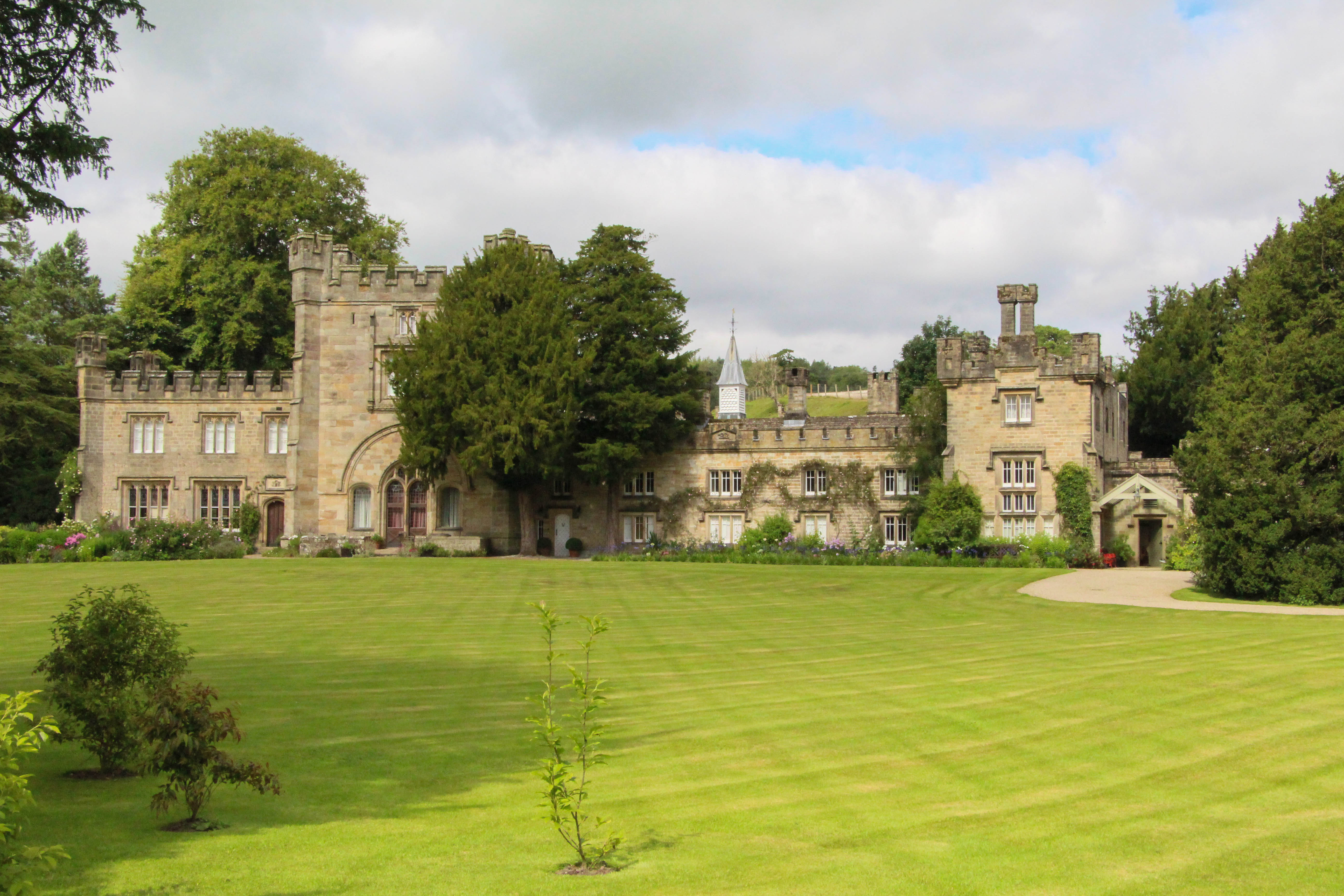
Bolton Abbey Hall
Bolton Abbey Hall is a historic building in Bolton Abbey, a village in North Yorkshire, in England. The building was originally the gatehouse of Bolton...
Old Rectory, Bolton Abbey
The Old Rectory is a historic building in Bolton Abbey, a village in North Yorkshire, England. The building was originally constructed in the 15th century...

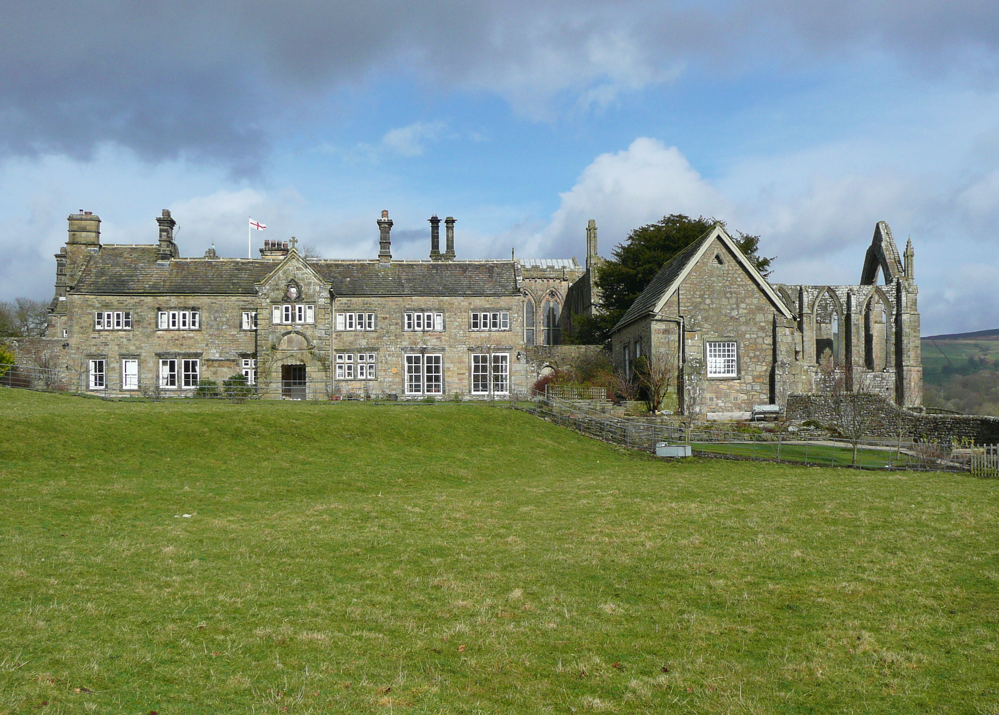
Bolton Abbey
Bolton Abbey Estate in Wharfedale, North Yorkshire, England, takes its name from a 12th-century Augustinian monastery of canons regular, now known as Bolton...
Nearby Amenities
Located within 500m of 54.006129,-1.8803459Have you been to Valley of Desolation?
Leave your review of Valley of Desolation below (or comments, questions and feedback).