Hell Gill
Valley in Yorkshire Richmondshire
England
Hell Gill
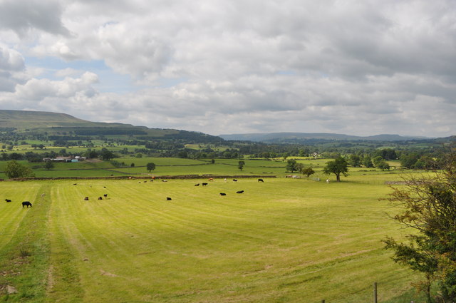
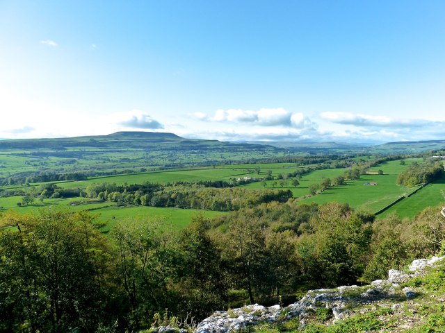
Hell Gill is a captivating valley located in the picturesque Yorkshire Dales, North Yorkshire, England. Nestled within the rugged beauty of this region, Hell Gill offers a dramatic and breathtaking landscape that is sure to enthrall nature enthusiasts and hikers alike.
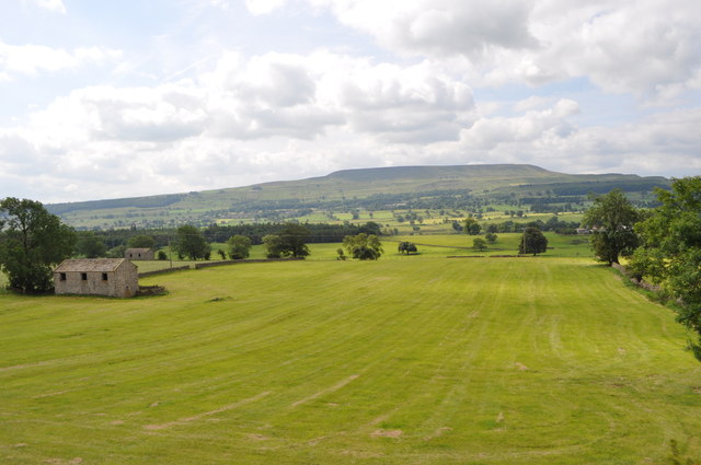
The valley is renowned for its steep sides, formed over centuries by the forces of nature. Carved by the gushing waters of Hell Gill Beck, the valley showcases an awe-inspiring combination of cascading waterfalls, deep ravines, and rocky outcrops. These natural features make it an ideal destination for those seeking a challenging and rewarding hike.
The name "Hell Gill" is believed to have derived from the Old Norse word "hel," meaning a hidden, secluded place. This name aptly describes the valley's sense of mystery and allure. Visitors to Hell Gill can expect to be enveloped by a serene and untouched environment, where the only sounds are the rushing water and the occasional bird song.
Due to its remote location, Hell Gill remains relatively untouched by human activity, allowing for a rich variety of flora and fauna to thrive. Mosses, ferns, and wildflowers adorn the valley floor, while birds of prey, including peregrine falcons and kestrels, soar above the cliffs. The valley also attracts rare species such as red squirrels and mountain hares.
Hell Gill, with its natural splendor and rugged charm, serves as a reminder of the awe-inspiring beauty that can be found in the Yorkshire Dales. It offers an unforgettable experience for those seeking to immerse themselves in the wonders of nature and explore the untamed beauty of this idyllic corner of England.
If you have any feedback on the listing, please let us know in the comments section below.
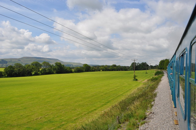
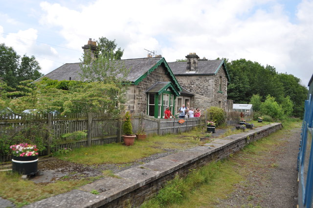
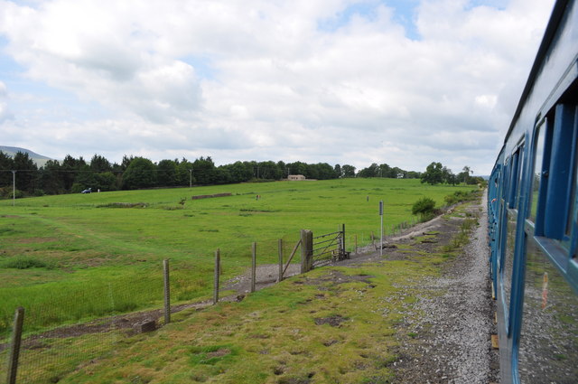
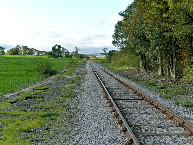
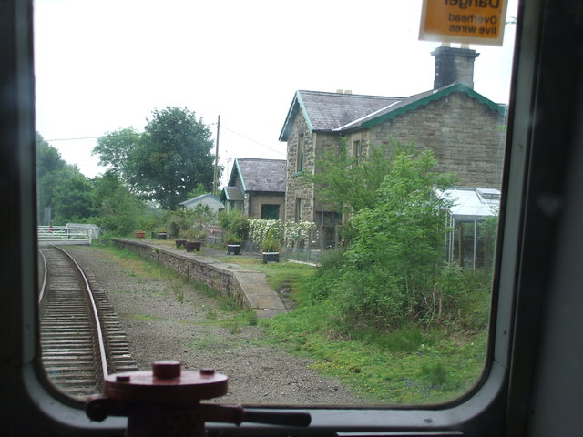
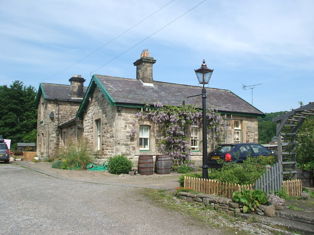
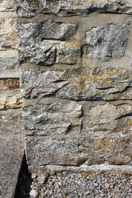
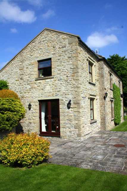
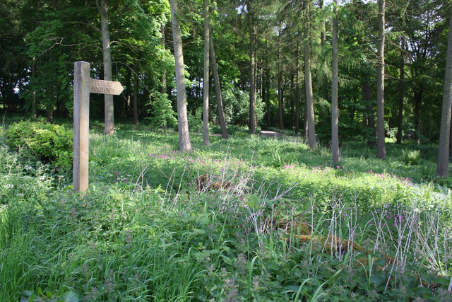
Hell Gill Images
Images are sourced within 2km of 54.307162/-1.8796455 or Grid Reference SE0790. Thanks to Geograph Open Source API. All images are credited.


Hell Gill is located at Grid Ref: SE0790 (Lat: 54.307162, Lng: -1.8796455)
Division: North Riding
Administrative County: North Yorkshire
District: Richmondshire
Police Authority: North Yorkshire
What 3 Words
///rules.uncle.sunset. Near Leyburn, North Yorkshire
Nearby Locations
Related Wikis
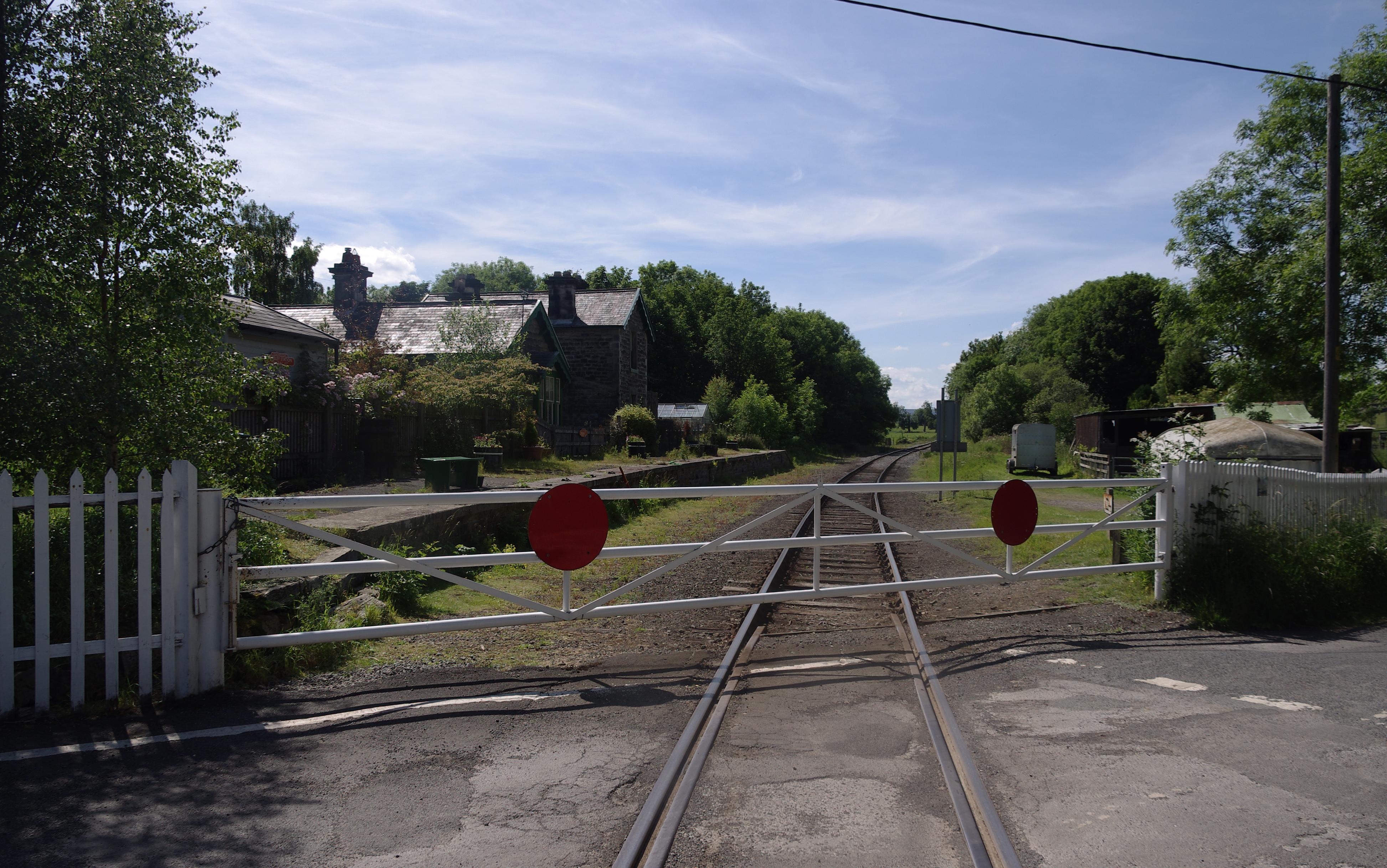
Wensley railway station
Wensley railway station is a disused railway station on the Wensleydale Railway, in North Yorkshire, England. It was opened by the North Eastern Railway...
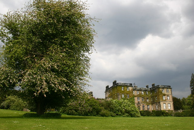
Bolton Hall, North Yorkshire
Bolton Hall is a country house near Preston-under-Scar, Richmondshire, North Yorkshire, England, in Wensleydale, some 3 miles (5 km) west of Leyburn. It...
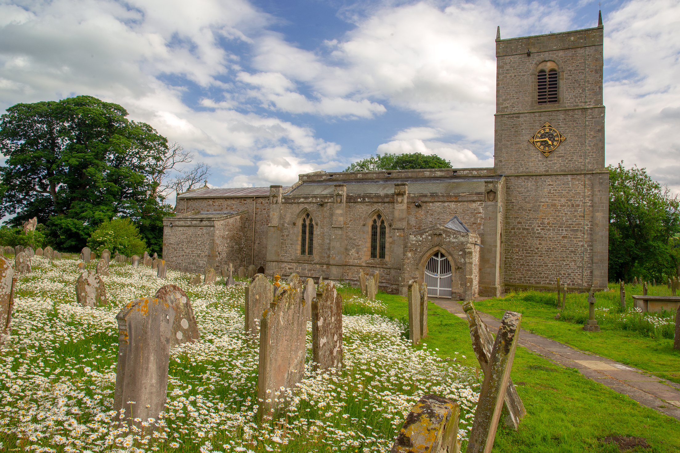
Holy Trinity Church, Wensley
Holy Trinity Church is a redundant Anglican church on Low Lane in the village of Wensley, North Yorkshire, England. The building is recorded in the National...
Wensley, North Yorkshire
Wensley is a small village and civil parish in North Yorkshire, England. It consists of a few homes and holiday cottage, an inn, a pub and a historic church...

Leyburn Old Glebe
Leyburn Old Glebe Nature Reserve is a nature reserve and Site of Special Scientific Interest (SSSI) managed by the Yorkshire Wildlife Trust. It is about...
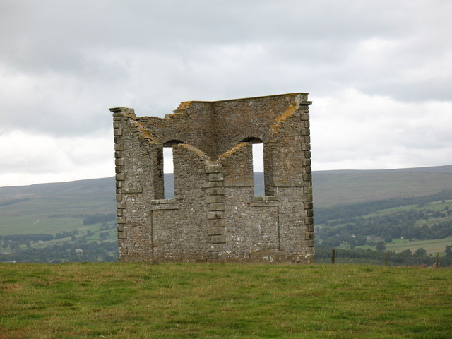
The Mount, North Yorkshire
The Mount, or Polly Peachum's Tower, is a hunting tower near Wensley and about a mile south-east of Bolton Hall, in North Yorkshire, England. It is a Grade...

Preston-under-Scar
Preston-under-Scar is a village and civil parish in North Yorkshire, England. It is situated approximately 2 miles (4 km) west of Leyburn. The village...

West Witton
West Witton is a village and civil parish in the Richmondshire district of North Yorkshire, England. Located in Wensleydale in the Yorkshire Dales it lies...
Nearby Amenities
Located within 500m of 54.307162,-1.8796455Have you been to Hell Gill?
Leave your review of Hell Gill below (or comments, questions and feedback).