Durley Chine
Valley in Hampshire
England
Durley Chine
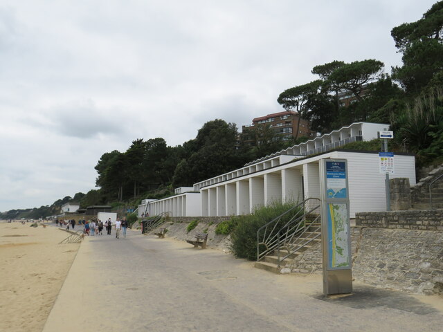
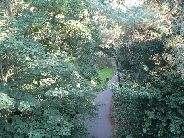
Durley Chine is a picturesque valley situated in the county of Hampshire, England. It is located near the town of Bournemouth and is part of the larger area known as the Chine Gardens.
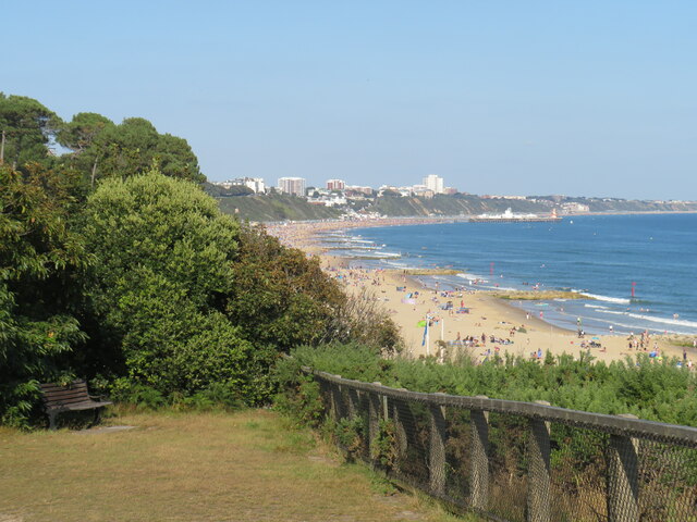
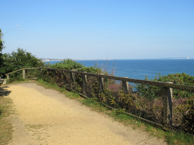
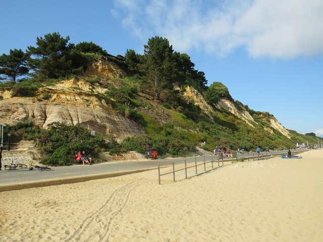
The chine itself is a deep, narrow ravine that was formed by the natural erosion of the soft sandstone cliffs over millions of years. The sides of the chine are covered with dense vegetation, including a variety of trees, shrubs, and wildflowers. This lush greenery provides a tranquil and peaceful atmosphere for visitors.
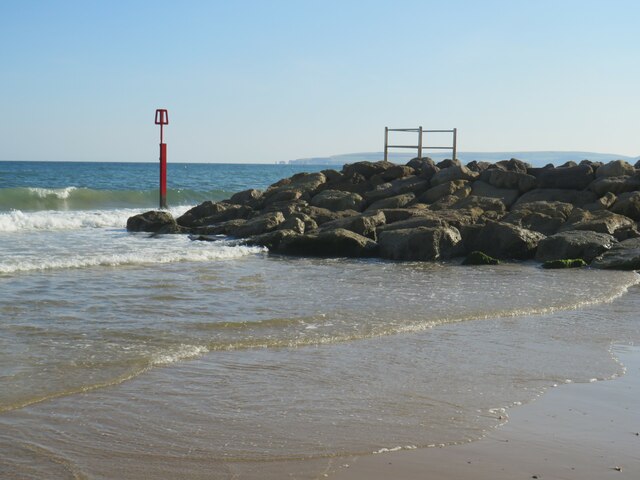
At the bottom of the chine, a small stream flows through the valley, adding to the charm of the surroundings. The stream is home to various species of wildlife, including ducks, swans, and other water birds.
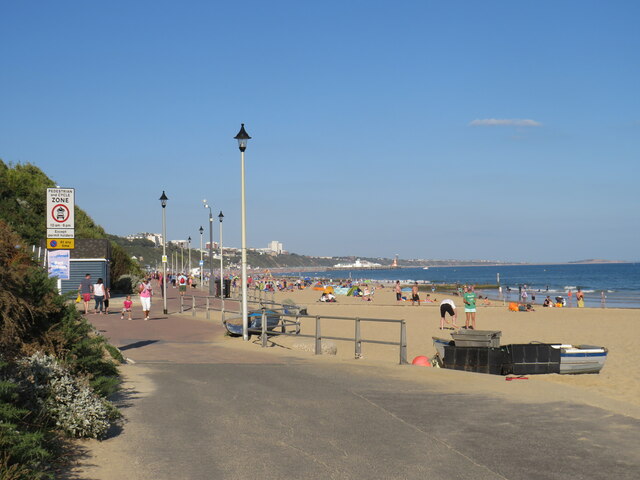
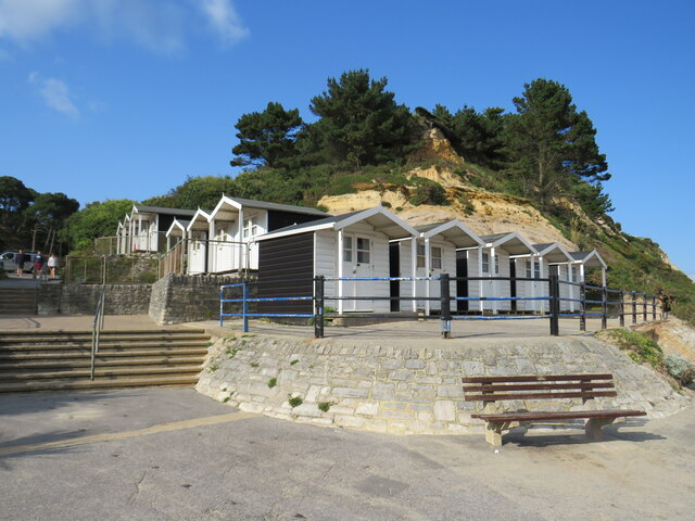
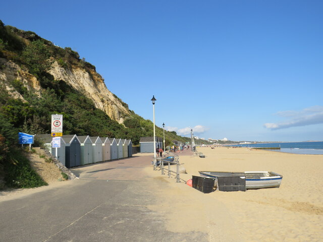
Durley Chine is a popular destination for nature enthusiasts and those seeking a quiet escape from the hustle and bustle of city life. It offers several walking trails that wind through the valley, allowing visitors to explore the natural beauty at their own pace.
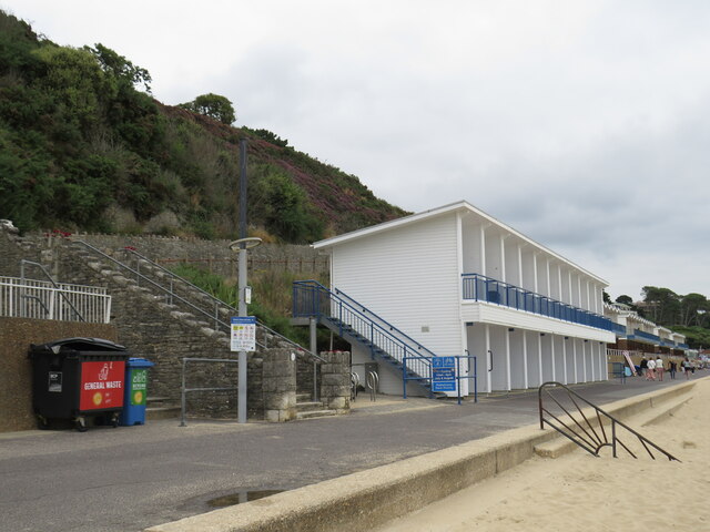
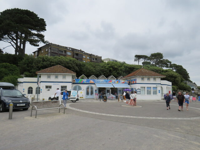
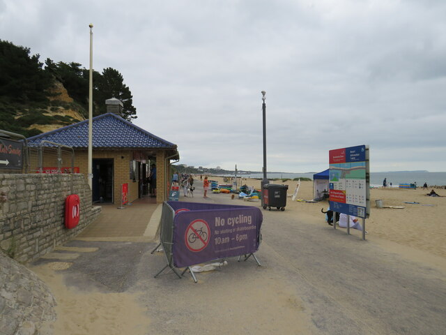
The chine is also home to a well-maintained park that features picnic areas, play equipment for children, and beautifully landscaped gardens. There is a café situated within the park where visitors can relax and enjoy a snack or a hot beverage while taking in the stunning views.
Overall, Durley Chine is a hidden gem in Hampshire, offering a tranquil and serene escape for all who visit. Its natural beauty, diverse wildlife, and well-kept facilities make it a must-see destination for nature lovers and families alike.
If you have any feedback on the listing, please let us know in the comments section below.
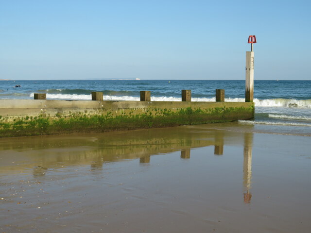
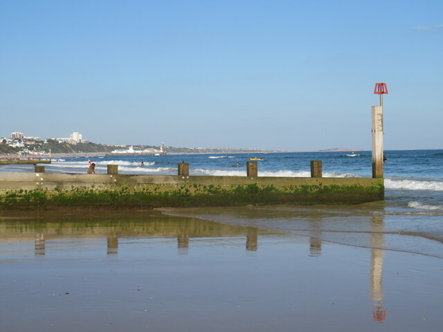
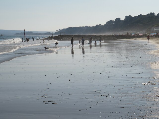
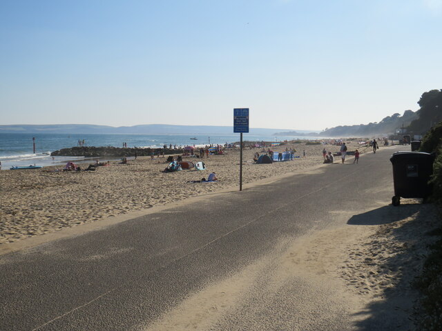
Durley Chine Images
Images are sourced within 2km of 50.714034/-1.8898802 or Grid Reference SZ0790. Thanks to Geograph Open Source API. All images are credited.


Durley Chine is located at Grid Ref: SZ0790 (Lat: 50.714034, Lng: -1.8898802)
Unitary Authority: Bournemouth, Christchurch and Poole
Police Authority: Dorset
What 3 Words
///ozone.tame.gains. Near Bournemouth, Dorset
Nearby Locations
Related Wikis

Durley Chine
Durley Chine is a Blue Flag beach and chine in Bournemouth, Dorset in England. It is to the west of Bournemouth Town Centre, north of West Cliff, and east...

Bournemouth Highcliff Marriott Hotel
The Bournemouth Highcliff Marriott Hotel is located in St. Michael's Road, Bournemouth, Dorset. Formerly four large mansions in 1873 and part of the Coastguard...
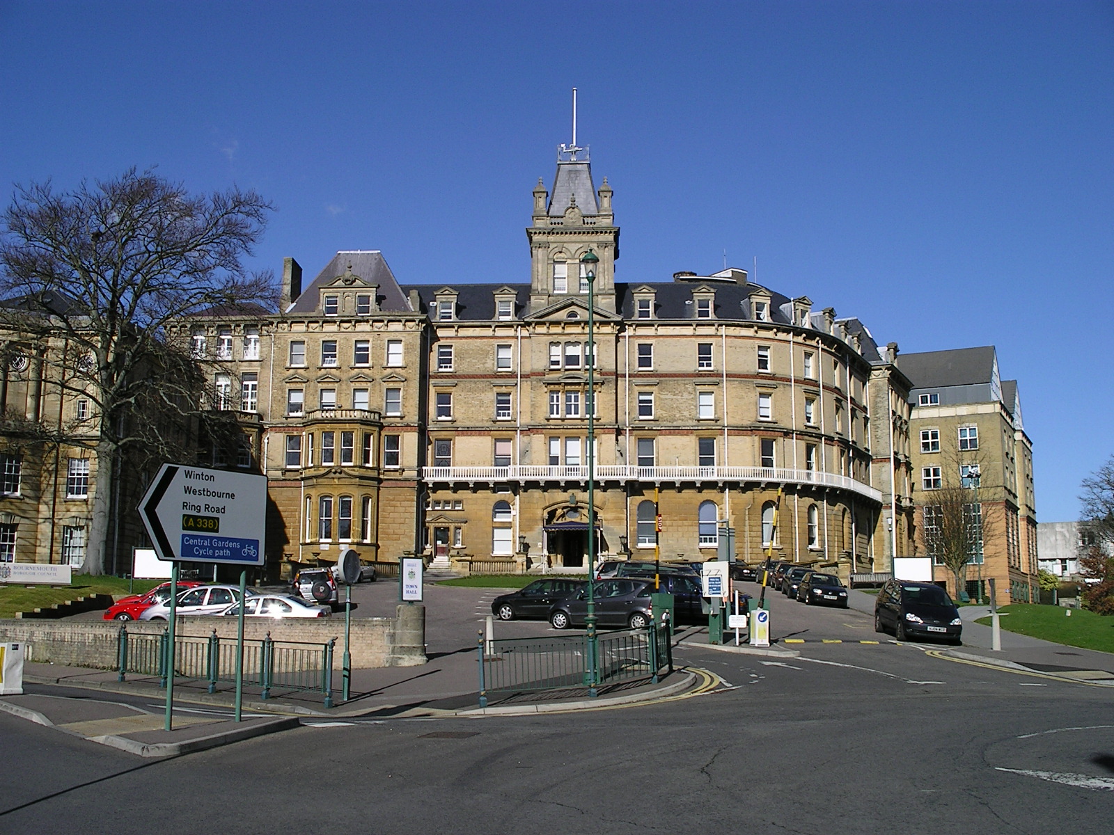
Bournemouth Borough Council
Bournemouth Borough Council was the local authority of Bournemouth in Dorset, England and ceased to exist on 1 April 2019. It was a unitary authority,...
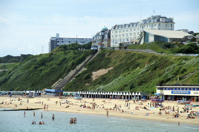
West Cliff Railway
The West Cliff Railway, or West Cliff Lift, is a funicular railway located on West Cliff in the English seaside resort of Bournemouth. The line serves...
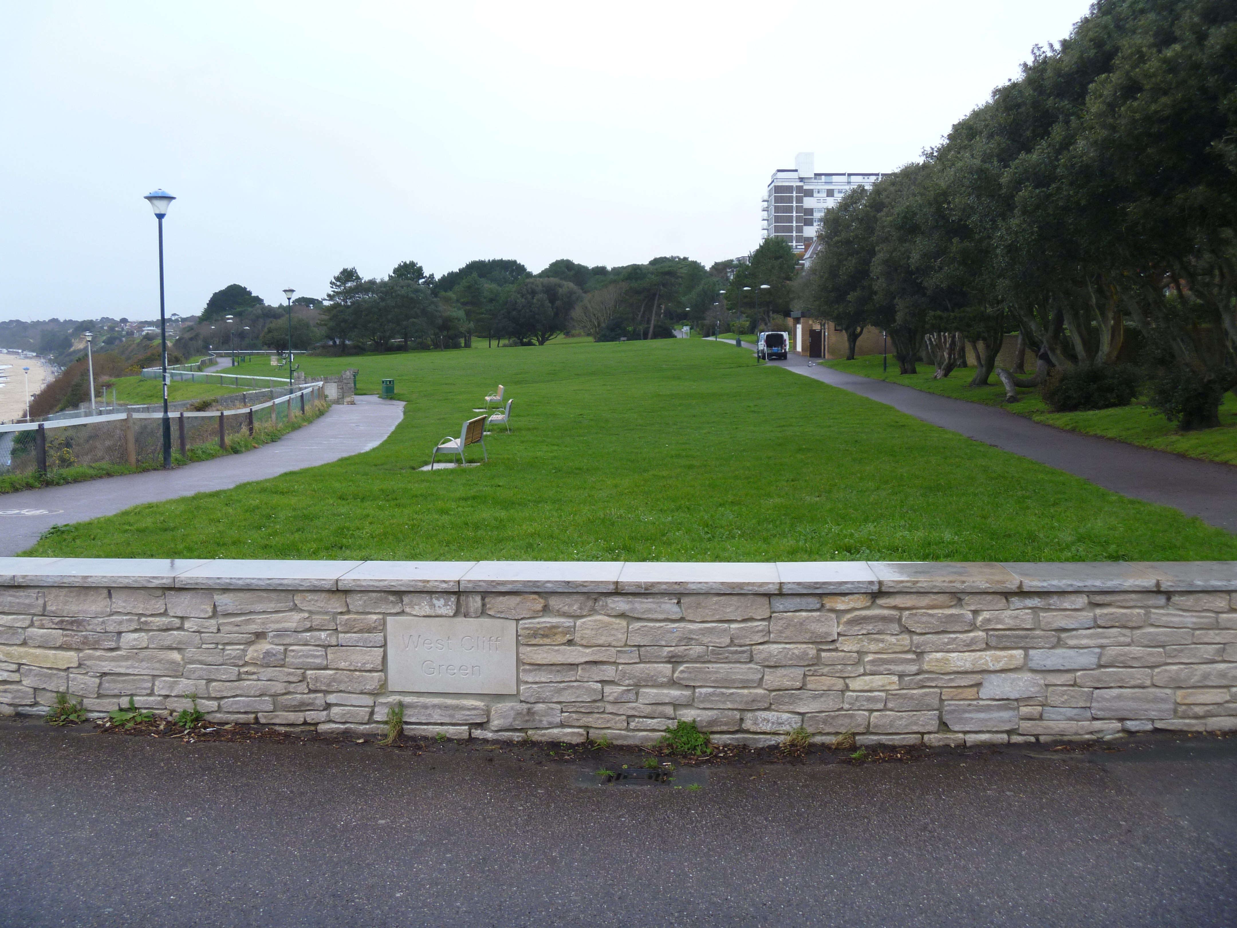
West Cliff, Bournemouth
West Cliff is a suburb of Bournemouth, Dorset, England. West Cliff is south of Westbourne and east of Branksome in Poole. == Politics == West Cliff is...
Alum Chine
Alum Chine is the largest chine in Bournemouth, England. The gorge was crossed by a suspension bridge by the early part of the twentieth century. ��2...

Royal Victoria Hospital, Bournemouth
The Royal Victoria Hospital was a hospital situated on two sites in Bournemouth, England. The primary site was in Boscombe but for a period of time it...
Westbourne, Dorset
Westbourne is a residential and shopping area of Bournemouth, Dorset, England. It is located in between Branksome, Poole and the centre of Bournemouth...
Nearby Amenities
Located within 500m of 50.714034,-1.8898802Have you been to Durley Chine?
Leave your review of Durley Chine below (or comments, questions and feedback).