Leonard Stanley

Settlement in Gloucestershire Stroud

England

Leonard Stanley

Severn Water The end of the road from Stanley Downton where it meets the Bath Road. Frocester Hill rises in the background and the Stonehouse Wheelers local cycle club is on the way to Cam.
Severn Water Credit: Peter Kwan

Leonard Stanley is a charming village located in the county of Gloucestershire, England. Situated approximately four miles southwest of Stroud, this small yet vibrant village is nestled in the picturesque Stroud Valley. With a population of around 1,200 residents, Leonard Stanley exudes a close-knit community atmosphere.

The village boasts a rich history, dating back to the Domesday Book of 1086. Its name originates from the Old English words "Leofwine's farmstead," showcasing its agricultural heritage. Today, Leonard Stanley retains much of its rural charm, with a mix of traditional Cotswold stone cottages and more modern homes.

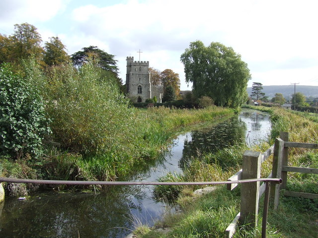
The heart of the village is centered around the beautiful Holy Trinity Church, a Grade II listed building that stands as a testament to the village's historical significance. A primary school, playgroup, and local pub, The White Hart, are integral institutions within the community.

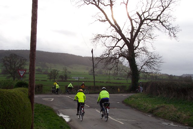
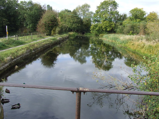
Nature lovers will appreciate the surrounding countryside, with pleasant walks and stunning views that stretch across the Stroud Valley. The nearby Cotswold Way offers an excellent opportunity to explore the region's scenic beauty.

Leonard Stanley benefits from its close proximity to Stroud, where residents can access a wide range of amenities, including shops, restaurants, and leisure facilities. The village also benefits from good transportation links, with easy access to the M5 motorway and regular bus services.

Overall, Leonard Stanley is a delightful village that combines a rich history, a strong sense of community, and beautiful surroundings, making it an ideal place for those seeking a tranquil and picturesque setting to call home.

If you have any feedback on the listing, please let us know in the comments section below.

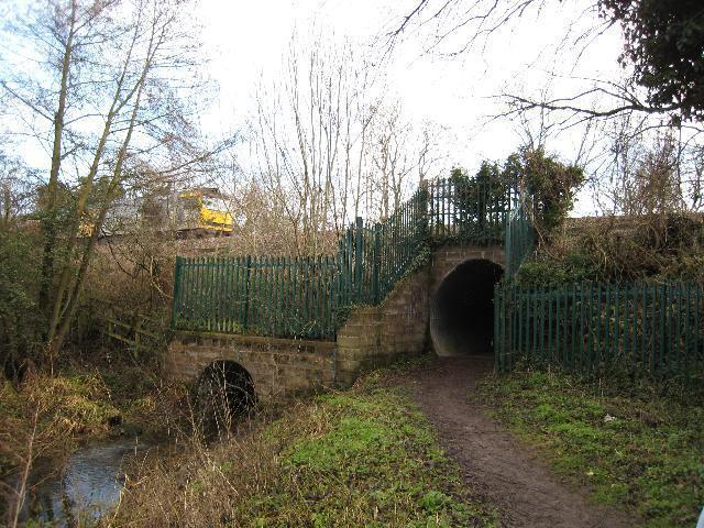
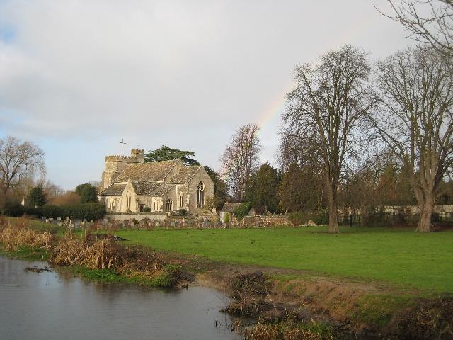
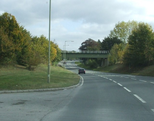
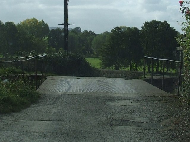
Leonard Stanley Images

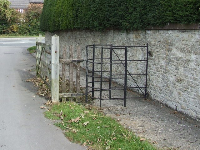
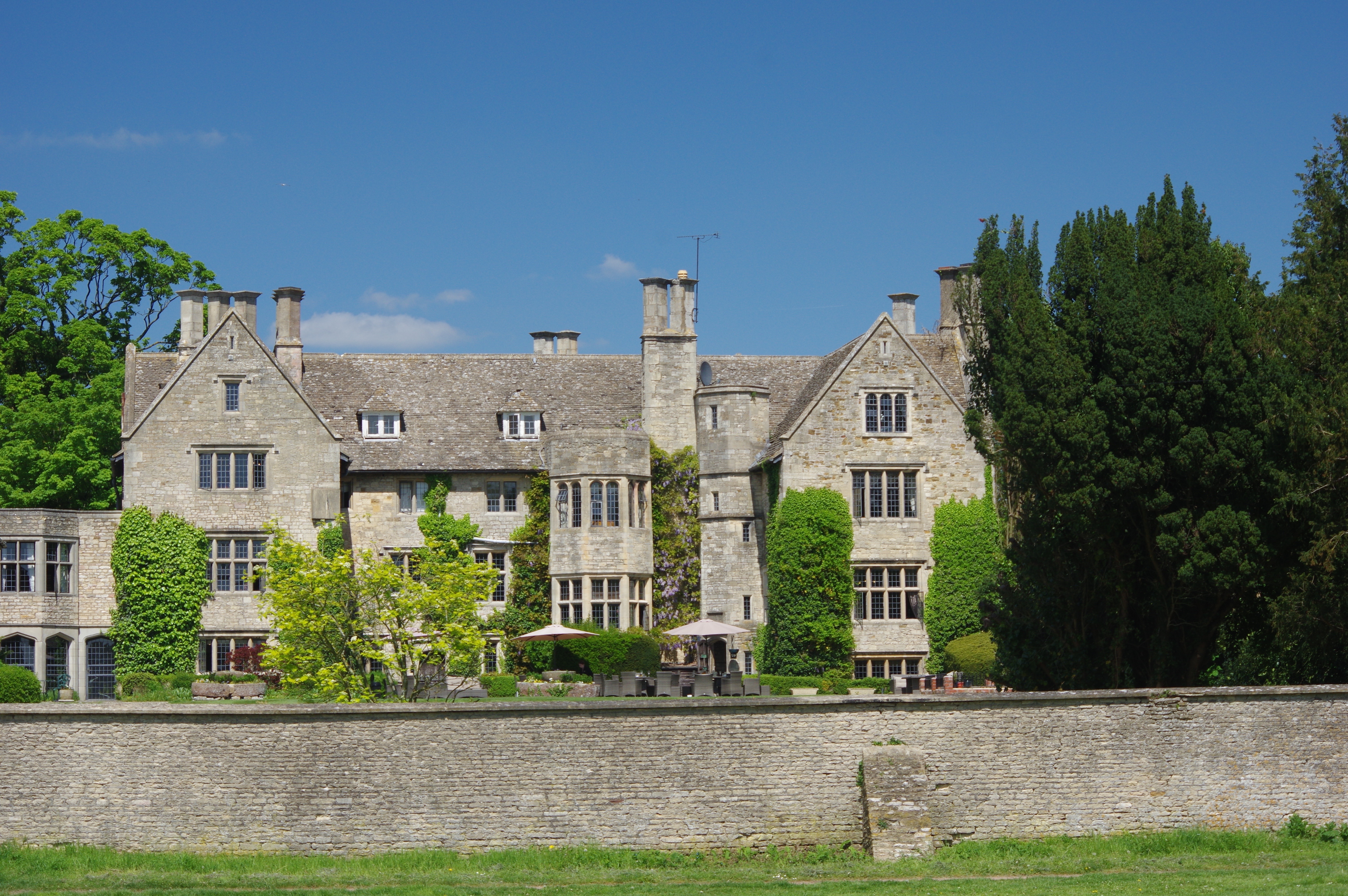
Images are sourced within 2km of 51.729988/-2.284142 or Grid Reference SO8003. Thanks to Geograph Open Source API. All images are credited.

Severn Water The end of the road from Stanley Downton where it meets the Bath Road. Frocester Hill rises in the background and the Stonehouse Wheelers local cycle club is on the way to Cam.
Severn Water
The end of the road from Stanley Downton where it meets the Bath Road. Frocester Hill rises in the background and the Stonehouse Wheelers local cycle club is on the way to Cam.
Stanley Downton Sewage Treatment Works All the sewage from Stroud, Stonehouse and surrounding area ends up here, I believe. It's located down the valley from Stroud, to allow the sewage to flow downhill, and is far away from human habitation for obvious reasons!
Stanley Downton Sewage Treatment Works
All the sewage from Stroud, Stonehouse and surrounding area ends up here, I believe. It's located down the valley from Stroud, to allow the sewage to flow downhill, and is far away from human habitation for obvious reasons!
Frocester Court The gatehouse to Frocester's manor house and associated farm. This lane would probably once have been the private drive to the house, but now has a number of private properties adjoining it and has been converted into another village street.
Frocester Court
The gatehouse to Frocester's manor house and associated farm. This lane would probably once have been the private drive to the house, but now has a number of private properties adjoining it and has been converted into another village street.
Houses on the outskirts of Frocester A couple of semi-detached houses on the Frocester to Nympsfield road
Houses on the outskirts of Frocester
A couple of semi-detached houses on the Frocester to Nympsfield road
Pasture below Frocester Hill Looking north-west from just below Hill Farm. Most of this land is grazed by cattle or horses. The hills of the Forest of Dean can be seen on the horizon.
Pasture below Frocester Hill
Looking north-west from just below Hill Farm. Most of this land is grazed by cattle or horses. The hills of the Forest of Dean can be seen on the horizon.
Beard's Mill, Leonard Stanley
Railway bridge Grade II listed railway bridge, east elevation.  English Heritage listing information says it was "built about 1844 for Bristol and Gloucester Railway. Punched limestone; top of parapet rebuilt in brick. Round-headed arch with plain band over. Splayed retaining walls. One of the original bridges in a relatively intact state."

Pylons marked on the map can also be seen in the photo.  Beyond the yellow car is the boundary of Stanley Downton sewage treatment works.
Railway bridge
Grade II listed railway bridge, east elevation. English Heritage listing information says it was "built about 1844 for Bristol and Gloucester Railway. Punched limestone; top of parapet rebuilt in brick. Round-headed arch with plain band over. Splayed retaining walls. One of the original bridges in a relatively intact state." Pylons marked on the map can also be seen in the photo. Beyond the yellow car is the boundary of Stanley Downton sewage treatment works.
Frocester Court Tithe Barn The Cruck-Built Barn of Frocester Court Farm is thought to have been constructed in the 13th Century. The roof is a reconstruction of the original that perished in a fire early in the 16th century.
Frocester Court Tithe Barn
The Cruck-Built Barn of Frocester Court Farm is thought to have been constructed in the 13th Century. The roof is a reconstruction of the original that perished in a fire early in the 16th century.
War Memorial, Frocester Crossroads The War Memorial stands on the left and in the background is The George Inn
War Memorial, Frocester Crossroads
The War Memorial stands on the left and in the background is The George Inn
Frocester Church This small church is situated behind the George Inn and is dedicated to St Andrew.
Frocester Church
This small church is situated behind the George Inn and is dedicated to St Andrew.
The George Inn, Frocester The George Inn at Frocester is situated on Frocester Crossroads.
The George Inn, Frocester
The George Inn at Frocester is situated on Frocester Crossroads.
Stroudwater Canal culvert under Bristol & Gloucester Line The original railway bridge over the canal was, if my memory serves me correctly, replaced by this culvert in the 1960s.  It probably constitutes one of the most complicated, but by no means insurmountable, challenges to the complete restoration of the canal.
Stroudwater Canal culvert under Bristol & Gloucester Line
The original railway bridge over the canal was, if my memory serves me correctly, replaced by this culvert in the 1960s. It probably constitutes one of the most complicated, but by no means insurmountable, challenges to the complete restoration of the canal.
View of St Cyr's Church and a rainbow Looking across the Stroudwater Canal to the church of St Cyr.  This is an unusual dedication for a church in England and probably relates to a child-martyr, also sometimes known a Saint Quiricus, of Antioch.  The name is more widely known in France where several settlements share the name, along with a prestigious Military Academy, created by Napoleon Bonaparte and which includes General de Gaulle amongst its past students.  

St Cyr was also the surname of a famous north American showgirl/stripper of the 1940s and 50s!
View of St Cyr's Church and a rainbow
Looking across the Stroudwater Canal to the church of St Cyr. This is an unusual dedication for a church in England and probably relates to a child-martyr, also sometimes known a Saint Quiricus, of Antioch. The name is more widely known in France where several settlements share the name, along with a prestigious Military Academy, created by Napoleon Bonaparte and which includes General de Gaulle amongst its past students. St Cyr was also the surname of a famous north American showgirl/stripper of the 1940s and 50s!
Railway Bridge
Railway Bridge
Road Bridge over disused Canal
Old Canal
Old Canal
Church with Old Canal in foreground
Kissing Gate
Kissing Gate
Show me another place!

Leonard Stanley is located at Grid Ref: SO8003 (Lat: 51.729988, Lng: -2.284142)

Administrative County: Gloucestershire

District: Stroud

Police Authority: Gloucestershire

What 3 Words

///hoot.meanders.woke. Near Stonehouse, Gloucestershire

Related Wikis

Leonard Stanley

Leonard Stanley, or Stanley St.Leonard, is a village and parish in Gloucestershire, England, 95 miles (150 km) west of London and 3.5 miles (5.5 km) southwest...

King's Stanley

King's Stanley is a civil parish and village in Gloucestershire, England, to the south of Stonehouse and southwest of the town of Stroud. == Geography... ==

Stanley Mills

The Stanley Mills woollen mill at Ryeford, near Stonehouse, Gloucestershire, England was built in the early 19th century. The main building is Grade I...

Ryeford railway station

Ryeford railway station served the villages of Ryeford, King's Stanley and Leonard Stanley in Gloucestershire, England. It was on the 5.8-mile (9.3 km...

Wycliffe College, Gloucestershire

Wycliffe College is a public school (co-educational, private, boarding and day school) in Stonehouse, Gloucestershire, England, founded in 1882 by G....

Five Acre Grove

Five Acre Grove (grid reference SO791043) is a 5-hectare (12-acre) nature reserve in Leonard Stanley, Gloucestershire. The site is listed in the 'Cotswold...

Stonehouse Court Hotel

The Stonehouse Court is a Grade II* listed manor house in Stonehouse, Gloucestershire, England which is now a hotel. It is located next to St Cyr's Church...

Stonehouse railway station

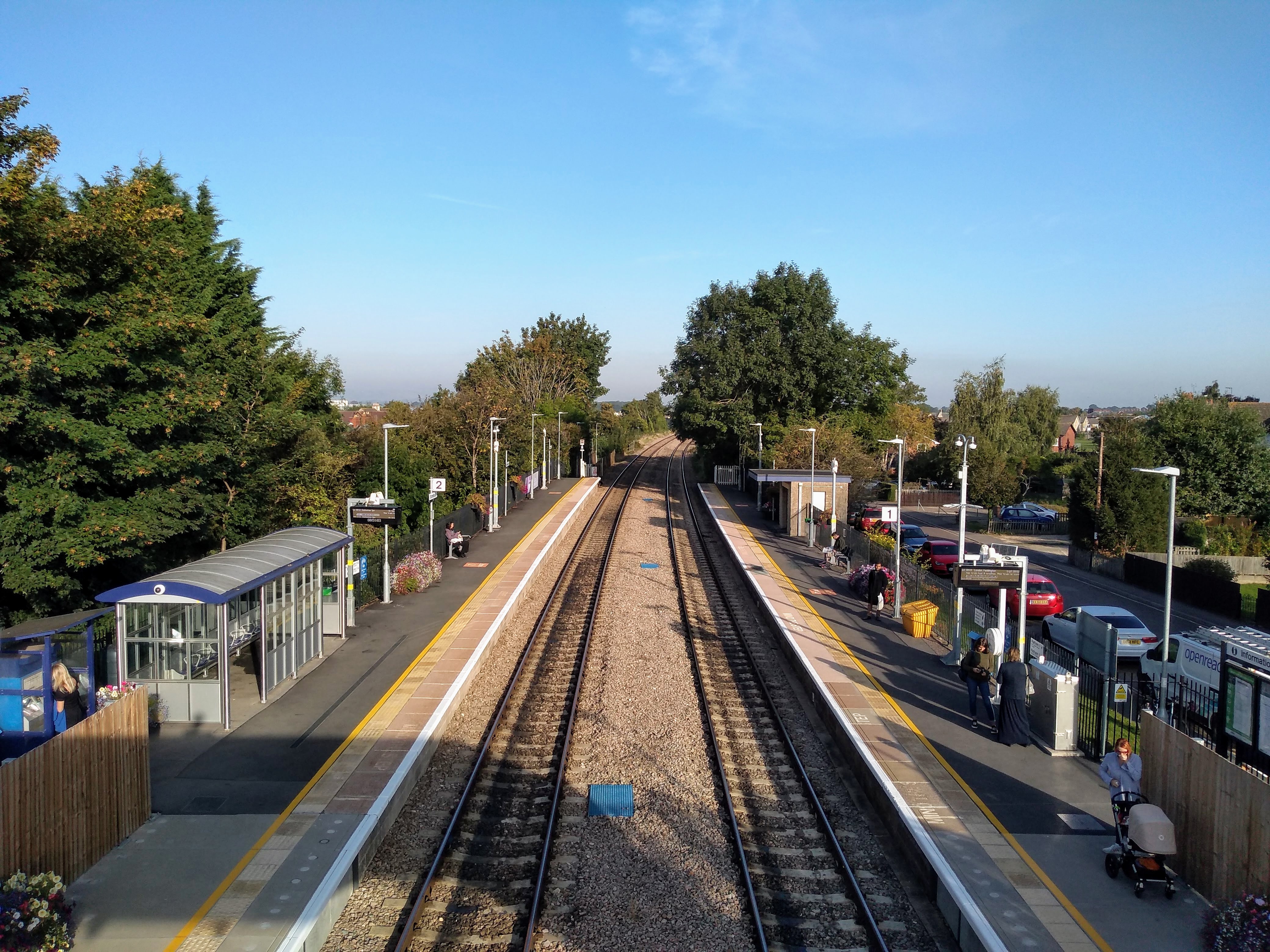
Stonehouse railway station is a railway station that serves the town of Stonehouse in Gloucestershire, England. The station is located on the Swindon-Gloucester...

Nearby Amenities

Located within 500m of 51.729988,-2.284142
Leonard Stanley
Is In: Gloucestershire, England, UK
Place: village
Postal Code: GL10 3
Lat/Long: 51.7282812/-2.2874005
Pub
White Hart
Addr Place: Leonard Stanley
Addr Postcode: GL10 3NR
Addr Street: The Street
Fhrs Id: 591730
Lat/Long: 51.7285591/-2.2874207
Post Box
Collection Times: Mo-Fr 17:00; Sa 09:30; Su off
Drive Through: no
Operator: Royal Mail
Post Box Mounting: brick_pillar
Post Box Type: wall
Postal Code: GL10
Ref: GL10 152
Royal Cypher: GVIR
Royal Cypher Wikidata: Q33102169
Source: survey
Lat/Long: 51.729751/-2.2897489
Bus Stop
St Swithun's Church
Naptan AtcoCode: 1600GL2889
Naptan Bearing: E
Naptan CommonName: St Swithun's Church
Naptan Indicator: Opp
Naptan NaptanCode: gloatwja
Naptan Street: Church Rd
Naptan Verified: no
Source: naptan_import
Lat/Long: 51.7282082/-2.2870751
Bus Stop
St Swithun's Church
Naptan AtcoCode: 1600GL2890
Naptan Bearing: W
Naptan CommonName: St Swithun's Church
Naptan NaptanCode: gloatwgj
Naptan Street: Church Rd
Naptan Verified: no
Source: naptan_import
Lat/Long: 51.7281891/-2.2875094
Bus Stop
Bath Rd
Bench: no
Naptan AtcoCode: 1600GL2894
Naptan Bearing: SW
Naptan CommonName: Bath Rd
Naptan Indicator: Opp
Naptan NaptanCode: gloawadj
Naptan Street: Marsh Rd
Naptan Verified: no
Shelter: no
Source: naptan_import
Lat/Long: 51.7311391/-2.2834592
Bus Stop
Wesley Rd
Naptan AtcoCode: 1600GLA06090
Naptan Bearing: NW
Naptan CommonName: Wesley Rd
Naptan NaptanCode: glogpdpj
Naptan Street: Church Rd
Naptan Verified: no
Source: naptan_import
Lat/Long: 51.729246/-2.2891812
Bus Stop
Church Rd
Naptan AtcoCode: 1600GLS321
Naptan Bearing: NE
Naptan CommonName: Church Rd
Naptan NaptanCode: gloatpwa
Naptan Street: Bath Rd
Naptan Verified: no
Source: naptan_import
Lat/Long: 51.7298027/-2.2895033
Bus Stop
Church Rd
Naptan AtcoCode: 1600GLS322
Naptan Bearing: SW
Naptan CommonName: Church Rd
Naptan NaptanCode: gloatptm
Naptan Street: Bath Rd
Naptan Verified: no
Source: naptan_import
Lat/Long: 51.7297488/-2.289474
Bus Stop
Village Hall
Naptan AtcoCode: 1600GLS323
Naptan Bearing: N
Naptan CommonName: Village Hall
Naptan NaptanCode: gloatwtd
Naptan Street: Marsh Rd
Naptan Verified: no
Source: naptan_import
Lat/Long: 51.7291688/-2.2839826
Bus Stop
Village Hall
Naptan AtcoCode: 1600GLS324
Naptan Bearing: S
Naptan CommonName: Village Hall
Naptan Indicator: Opp
Naptan NaptanCode: gloatwtg
Naptan Street: Marsh Rd
Naptan Verified: no
Source: naptan_import
Lat/Long: 51.729205/-2.2838815
Bus Stop
Brimley
Naptan AtcoCode: 1600GLS325
Naptan Bearing: SE
Naptan CommonName: Brimley
Naptan NaptanCode: gloawatg
Naptan Street: Bath Rd
Naptan Verified: no
Source: naptan_import
Lat/Long: 51.7316687/-2.2801032
Bus Stop
Brimley
Naptan AtcoCode: 1600GLS326
Naptan Bearing: NW
Naptan CommonName: Brimley
Naptan Indicator: Opp
Naptan NaptanCode: gloawatd
Naptan Street: Bath Rd
Naptan Verified: no
Source: naptan_import
Lat/Long: 51.7313995/-2.2798698
Bus Stop
Bathleaze
Naptan AtcoCode: 1600GLS327
Naptan Bearing: SE
Naptan CommonName: Bathleaze
Naptan NaptanCode: gloawdjg
Naptan PlusbusZoneRef: STRUD
Naptan Street: Bath Rd
Naptan Verified: no
Source: naptan_import
Lat/Long: 51.7301285/-2.2774294
Bus Stop
Bathleaze
Naptan AtcoCode: 1600GLS328
Naptan Bearing: NW
Naptan CommonName: Bathleaze
Naptan NaptanCode: gloawdjp
Naptan PlusbusZoneRef: STRUD
Naptan Street: Bath Rd
Naptan Verified: no
Source: naptan_import
Lat/Long: 51.7297339/-2.2769926
Bus Stop
Grange Farm
Naptan AtcoCode: 1600GLS855
Naptan Bearing: NE
Naptan CommonName: Grange Farm
Naptan NaptanCode: gloatwjg
Naptan Street: Bath Rd
Naptan Verified: no
Source: naptan_import
Lat/Long: 51.7305734/-2.2868874
Bus Stop
Grange Farm
Naptan AtcoCode: 1600GLS856
Naptan Bearing: SW
Naptan CommonName: Grange Farm
Naptan Indicator: Opp
Naptan NaptanCode: gloatwjm
Naptan Street: Bath Rd
Naptan Verified: no
Source: naptan_import
Lat/Long: 51.7305285/-2.2868292
Bus Stop
The Old Lamb Inn
Naptan AtcoCode: 1600GLS857
Naptan Bearing: SE
Naptan CommonName: The Old Lamb Inn
Naptan NaptanCode: gloawadp
Naptan Street: Stanley Downton Rd
Naptan Verified: no
Source: naptan_import
Lat/Long: 51.7321913/-2.2833789
Bus Stop
The Old Lamb Inn
Naptan AtcoCode: 1600GLS858
Naptan Bearing: NW
Naptan CommonName: The Old Lamb Inn
Naptan NaptanCode: gloawadg
Naptan Street: Stanley Downton Rd
Naptan Verified: no
Source: naptan_import
Lat/Long: 51.7321821/-2.2834658
Bus Stop
Wesley Rd
Naptan AtcoCode: 1600GLS957
Naptan Bearing: SE
Naptan CommonName: Wesley Rd
Naptan Indicator: Opp
Naptan NaptanCode: gloatpwd
Naptan Street: Church Rd
Naptan Verified: no
Source: naptan_import
Lat/Long: 51.7292552/-2.2890799
Fixme: incomplete
Lat/Long: 51.7280844/-2.2827691
Power: pole
Lat/Long: 51.7341454/-2.2827862
Post Box
Brand: Royal Mail
Brand Wikidata: Q638098
Operator: Royal Mail
Operator Wikidata: Q638098
Post Box Type: lamp
Ref: GL10 234
Lat/Long: 51.7286113/-2.2844662
Barrier: kissing_gate
Bicycle: no
Foot: yes
Lat/Long: 51.7303849/-2.2880222
Barrier: kissing_gate
Bicycle: no
Foot: yes
Lat/Long: 51.7324643/-2.2890702
Public Bookcase
Booth: K6
Disused Amenity: telephone
Public Bookcase Type: phone_box
Lat/Long: 51.7297686/-2.2896778
Barrier: kissing_gate
Foot: yes
Lat/Long: 51.7264982/-2.2821809
Barrier: kissing_gate
Foot: yes
Lat/Long: 51.7258174/-2.2853273
Give Way
Direction: forward
Lat/Long: 51.7319039/-2.2831117
Give Way
Direction: forward
Lat/Long: 51.7315863/-2.2833854
Give Way
Direction: forward
Lat/Long: 51.7315226/-2.2832416
Give Way
Direction: forward
Lat/Long: 51.7300734/-2.2774536
Give Way
Direction: forward
Lat/Long: 51.7275329/-2.2828827
Give Way
Direction: forward
Lat/Long: 51.7307043/-2.2820519
Crossing
Crossing: unmarked
Tactile Paving: yes
Lat/Long: 51.7307015/-2.2819633
Crossing
Crossing: unmarked
Tactile Paving: yes
Lat/Long: 51.7307692/-2.2819578
Leonard Stanley information board
Board Type: history
Direction: 60
Information: board
Tourism: information
Lat/Long: 51.727926/-2.2870154
Leonard Stanley War Memorial
Historic: memorial
Material: stone
Memorial: war_memorial
Website: https://www.leonardstanley-pc.gov.uk/war-memorial.html
Lat/Long: 51.7283247/-2.2873855
Communication Mobile Phone: yes
Man Made: mast
Tower Type: communication
Lat/Long: 51.7342585/-2.2860873
Power: pole
Lat/Long: 51.7313923/-2.2909162
Power: pole
Lat/Long: 51.7313489/-2.2896214
Power: pole
Lat/Long: 51.7306598/-2.2897059
Power: pole
Lat/Long: 51.7301205/-2.2897437
Power: pole
Lat/Long: 51.7298145/-2.2895916
Power: pole
Lat/Long: 51.7294221/-2.2893663
Power: pole
Lat/Long: 51.7319028/-2.2890237
Power: pole
Lat/Long: 51.7323714/-2.2884976
Power: pole
Lat/Long: 51.7329797/-2.2877994
Power: pole
Lat/Long: 51.7336657/-2.2869949
Power: pole
Lat/Long: 51.7300953/-2.2901993
Power: pole
Lat/Long: 51.7300517/-2.2909366
Power: pole
Lat/Long: 51.7297024/-2.2904279
Power: pole
Lat/Long: 51.7296667/-2.2896907
Power: pole
Lat/Long: 51.729128/-2.2890957
Power: pole
Lat/Long: 51.7288523/-2.2888645
Power: pole
Lat/Long: 51.7285579/-2.2885846
Power: pole
Lat/Long: 51.7286797/-2.2885666
Power: pole
Lat/Long: 51.7280663/-2.2879791
Street Lamp
Lat/Long: 51.7281612/-2.2880872
Power: pole
Lat/Long: 51.7281086/-2.2880752
Power: pole
Lat/Long: 51.7276326/-2.2882204
Power: pole
Lat/Long: 51.7284319/-2.2884726
Power: pole
Lat/Long: 51.7284646/-2.2872334
Material: wood
Power: pole
Lat/Long: 51.727974/-2.2864846
Power: pole
Lat/Long: 51.7280833/-2.286993
Power: pole
Lat/Long: 51.7277275/-2.2862558
Man Made: utility_pole
Material: wood
Lat/Long: 51.7279222/-2.2863455
Man Made: utility_pole
Lat/Long: 51.7280025/-2.2859272
Power: pole
Lat/Long: 51.7280609/-2.2858149
Outlet: yes
Lat/Long: 51.7296849/-2.2774136
Outlet: yes
Lat/Long: 51.7297682/-2.2773356
Outlet: yes
Lat/Long: 51.7297607/-2.2775773
Barrier: kissing_gate
Lat/Long: 51.7307937/-2.2862561
Generator Method: photovoltaic
Generator Output Electricity: yes
Generator Source: solar
Generator Type: solar_photovoltaic_panel
Location: roof
Power: generator
Lat/Long: 51.7327014/-2.2784749
Generator Method: photovoltaic
Generator Output Electricity: yes
Generator Source: solar
Generator Type: solar_photovoltaic_panel
Location: roof
Power: generator
Lat/Long: 51.7311897/-2.2774503
Generator Method: photovoltaic
Generator Output Electricity: yes
Generator Source: solar
Generator Type: solar_photovoltaic_panel
Location: roof
Power: generator
Lat/Long: 51.7290484/-2.2892413
Generator Method: photovoltaic
Generator Output Electricity: yes
Generator Source: solar
Generator Type: solar_photovoltaic_panel
Location: roof
Power: generator
Lat/Long: 51.7288133/-2.2891004
Generator Method: photovoltaic
Generator Output Electricity: yes
Generator Source: solar
Generator Type: solar_photovoltaic_panel
Location: roof
Power: generator
Lat/Long: 51.7323177/-2.2793922
Generator Method: photovoltaic
Generator Output Electricity: yes
Generator Source: solar
Generator Type: solar_photovoltaic_panel
Location: roof
Power: generator
Lat/Long: 51.7309538/-2.2832385
Generator Method: photovoltaic
Generator Output Electricity: yes
Generator Source: solar
Generator Type: solar_photovoltaic_panel
Location: roof
Power: generator
Lat/Long: 51.7289553/-2.2859395
Generator Method: photovoltaic
Generator Output Electricity: yes
Generator Source: solar
Generator Type: solar_photovoltaic_panel
Location: roof
Power: generator
Lat/Long: 51.7289387/-2.2857758
Generator Method: photovoltaic
Generator Output Electricity: yes
Generator Source: solar
Generator Type: solar_photovoltaic_panel
Location: roof
Power: generator
Lat/Long: 51.7289271/-2.2856686
Generator Method: photovoltaic
Generator Output Electricity: yes
Generator Source: solar
Generator Type: solar_photovoltaic_panel
Location: roof
Power: generator
Lat/Long: 51.7282974/-2.285867
Generator Method: photovoltaic
Generator Output Electricity: yes
Generator Source: solar
Generator Type: solar_photovoltaic_panel
Location: roof
Power: generator
Lat/Long: 51.7286729/-2.2803631
Generator Method: photovoltaic
Generator Output Electricity: yes
Generator Source: solar
Generator Type: solar_photovoltaic_panel
Location: roof
Power: generator
Lat/Long: 51.7272333/-2.2828777
Generator Method: photovoltaic
Generator Output Electricity: yes
Generator Source: solar
Generator Type: solar_photovoltaic_panel
Location: roof
Power: generator
Lat/Long: 51.7277691/-2.2802947
Generator Method: photovoltaic
Generator Output Electricity: yes
Generator Source: solar
Generator Type: solar_photovoltaic_panel
Location: roof
Power: generator
Lat/Long: 51.7277708/-2.2802411
Marketplace
Lat/Long: 51.7274102/-2.2880857
Bench
Backrest: yes
Material: wood
Lat/Long: 51.7280554/-2.2868123
The data included in this document is from www.openstreetmap.org. The data is made available under ODbL.

Have you been to Leonard Stanley?

Leave your review of Leonard Stanley below (or comments, questions and feedback).