St Leonard's Priory
Heritage Site in Gloucestershire Stroud
England
St Leonard's Priory
St Leonard's Priory is a historic heritage site located in the county of Gloucestershire, England. Originally founded in the 12th century, it was a priory of Augustinian canons, who were a group of Christian monks following the rule of St. Augustine. The priory was dedicated to St. Leonard, the patron saint of prisoners and captives.
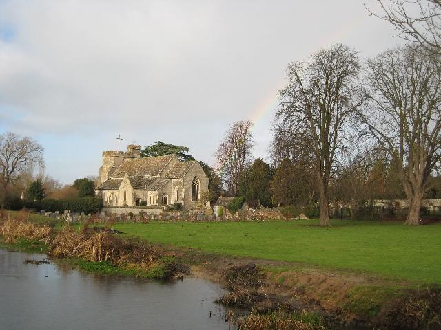
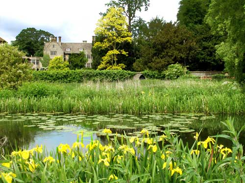
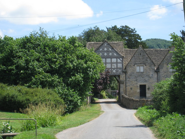
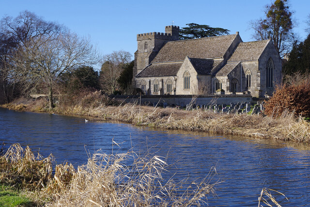
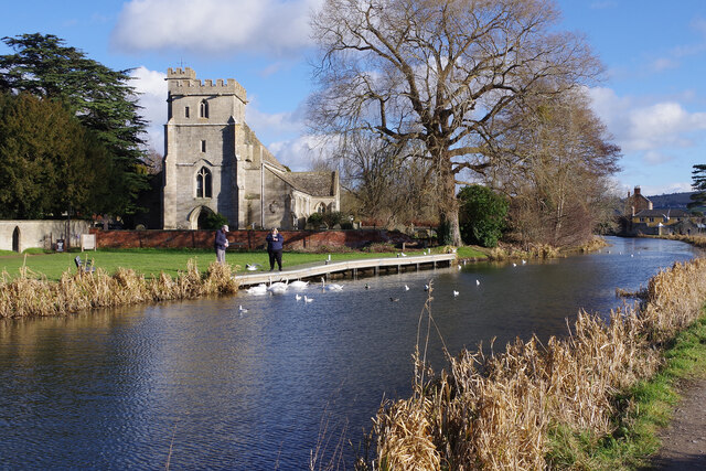
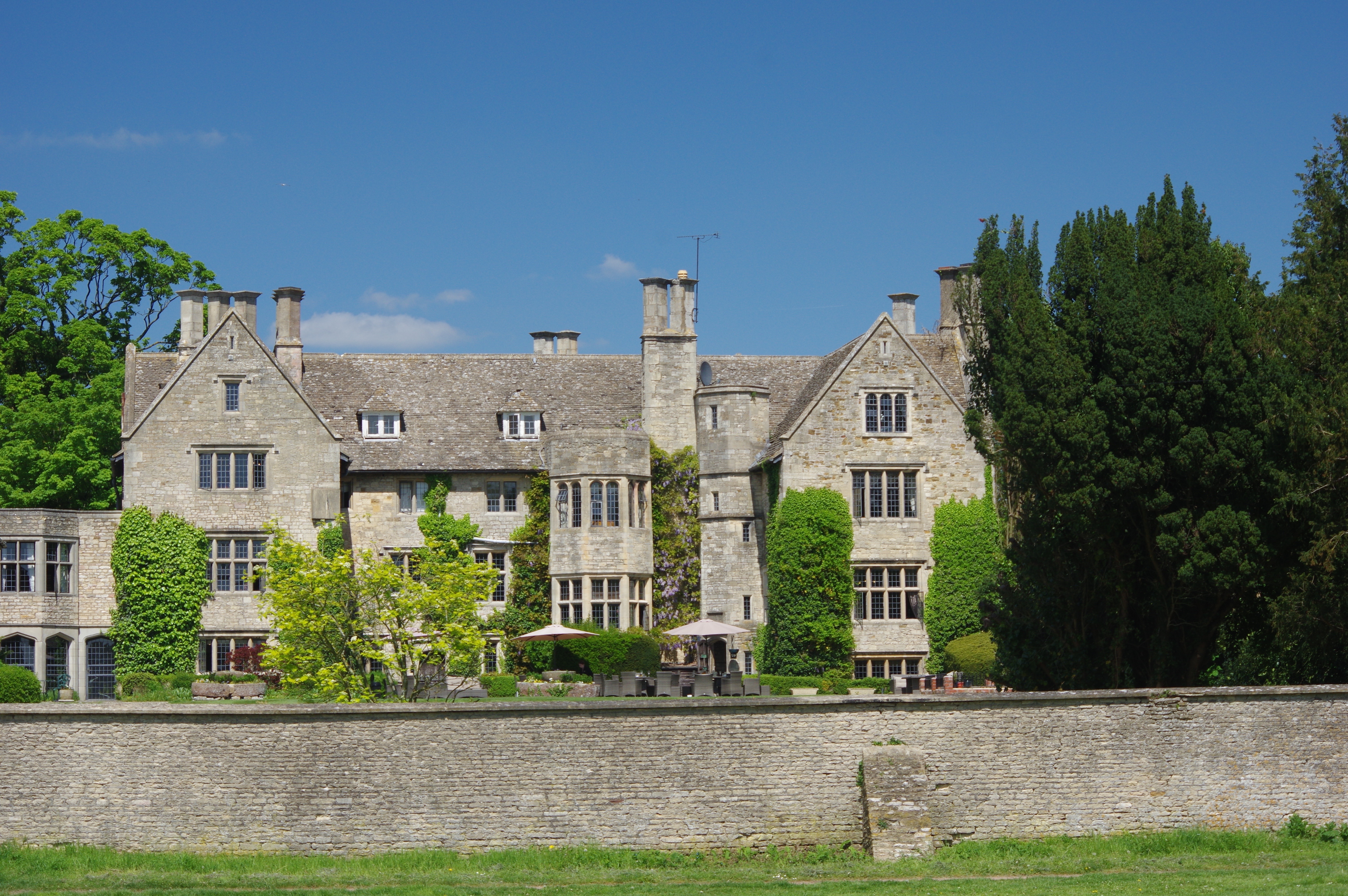
The priory was situated in an idyllic setting, surrounded by lush green meadows and rolling hills. It consisted of various buildings, including a church, cloisters, a chapter house, a dormitory, and other domestic structures. The church served as the central point of worship and was built in the Romanesque architectural style, showcasing intricate detailing and beautiful stained glass windows.
Throughout its existence, St Leonard's Priory played a significant role in the local community. The canons were responsible for providing spiritual guidance to the surrounding villages and also acted as custodians of the sick and needy. The priory also owned extensive lands, which generated income and supported its charitable activities.
However, with the dissolution of the monasteries by King Henry VIII in the 16th century, St Leonard's Priory fell into decline. The buildings were gradually abandoned and left to decay. Today, only remnants of the priory remain, including parts of the church walls and foundations of other buildings.
St Leonard's Priory is now a protected heritage site, and visitors can explore the ruins to get a glimpse of its former grandeur. The site offers a tranquil and picturesque atmosphere, allowing visitors to imagine the lives of the canons who once inhabited the priory. It serves as a reminder of the rich religious and cultural history of Gloucestershire.
If you have any feedback on the listing, please let us know in the comments section below.
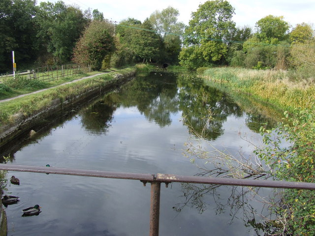
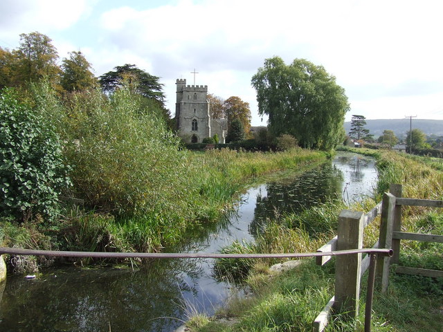
St Leonard's Priory Images
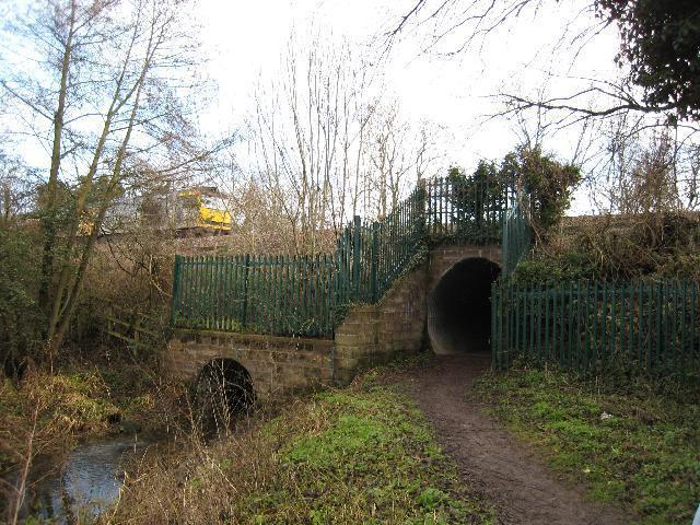
Images are sourced within 2km of 51.73/-2.282 or Grid Reference SO8003. Thanks to Geograph Open Source API. All images are credited.
St Leonard's Priory is located at Grid Ref: SO8003 (Lat: 51.73, Lng: -2.282)
Administrative County: Gloucestershire
District: Stroud
Police Authority: Gloucestershire
What 3 Words
///stub.compiler.codes. Near Stonehouse, Gloucestershire
Nearby Locations
Related Wikis

Leonard Stanley
Leonard Stanley, or Stanley St.Leonard, is a village and parish in Gloucestershire, England, 95 miles (150 km) west of London and 3.5 miles (5.5 km) southwest...

King's Stanley
King's Stanley is a civil parish and village in Gloucestershire, England, to the south of Stonehouse and southwest of the town of Stroud. == Geography... ==

Stanley Mills
The Stanley Mills woollen mill at Ryeford, near Stonehouse, Gloucestershire, England was built in the early 19th century. The main building is Grade I...

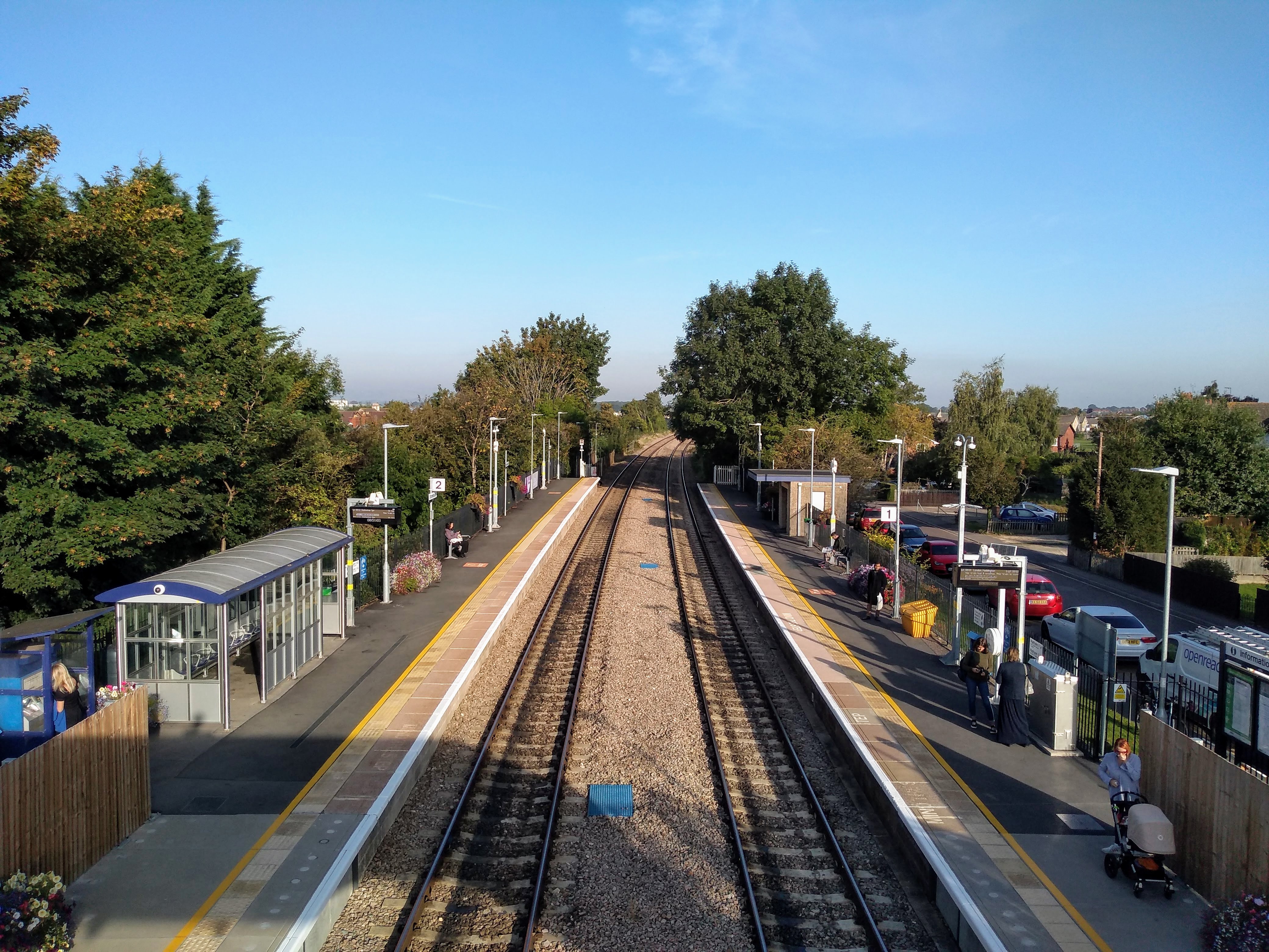
Ryeford railway station
Ryeford railway station served the villages of Ryeford, King's Stanley and Leonard Stanley in Gloucestershire, England. It was on the 5.8-mile (9.3 km...

Wycliffe College, Gloucestershire
Wycliffe College is a public school (co-educational, private, boarding and day school) in Stonehouse, Gloucestershire, England, founded in 1882 by G....

Five Acre Grove
Five Acre Grove (grid reference SO791043) is a 5-hectare (12-acre) nature reserve in Leonard Stanley, Gloucestershire. The site is listed in the 'Cotswold...
Stonehouse Court Hotel
The Stonehouse Court is a Grade II* listed manor house in Stonehouse, Gloucestershire, England which is now a hotel. It is located next to St Cyr's Church...
Stonehouse railway station
Stonehouse railway station is a railway station that serves the town of Stonehouse in Gloucestershire, England. The station is located on the Swindon-Gloucester...
Nearby Amenities
Located within 500m of 51.73,-2.282Have you been to St Leonard's Priory?
Leave your review of St Leonard's Priory below (or comments, questions and feedback).