Draughton Bottom

Valley in Yorkshire Craven

England

Draughton Bottom

Trig Point on Haw Pike near Bolton Bridge
Trig Point on Haw Pike near Bolton Bridge Credit: Colin Park

Draughton Bottom is a picturesque valley located in the region of Yorkshire, England. Situated in the heart of the Yorkshire Dales National Park, this stunning landscape offers visitors a glimpse into the area's natural beauty and rich history.

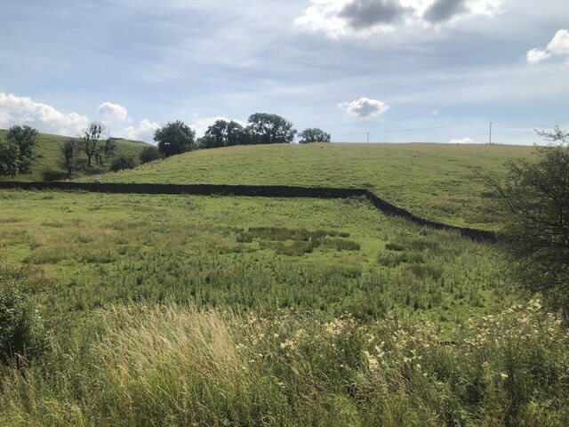
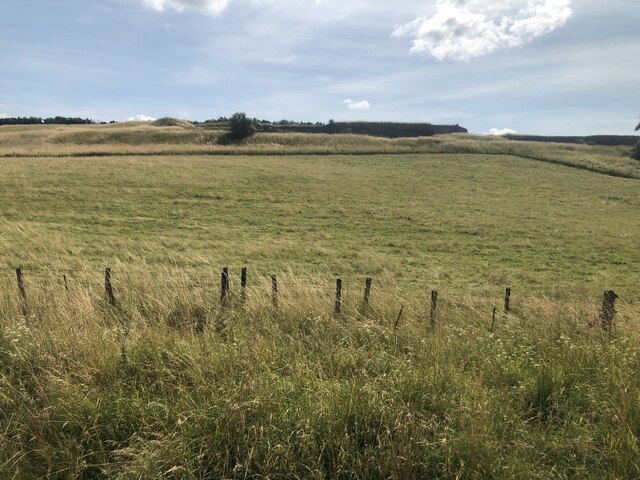
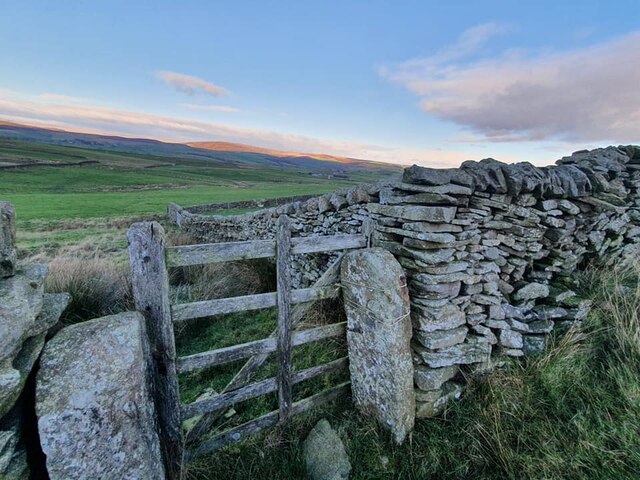
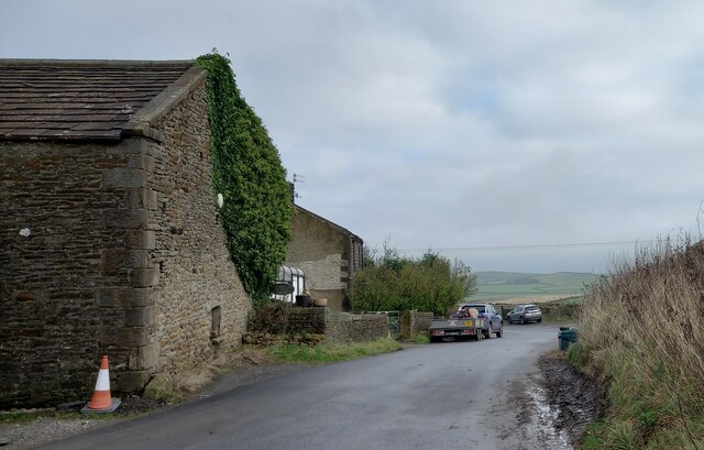
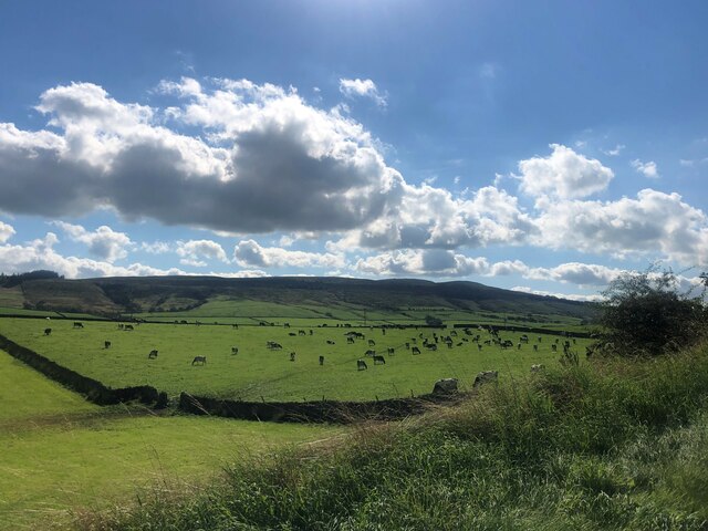
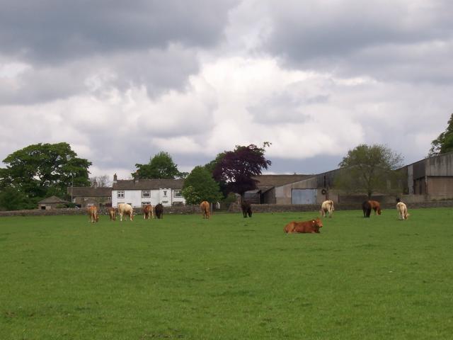
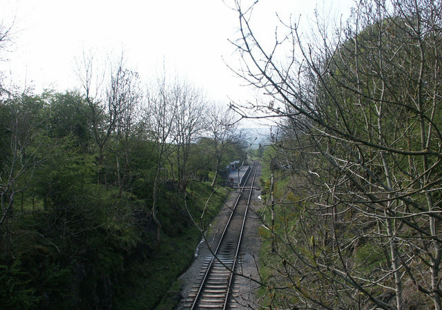
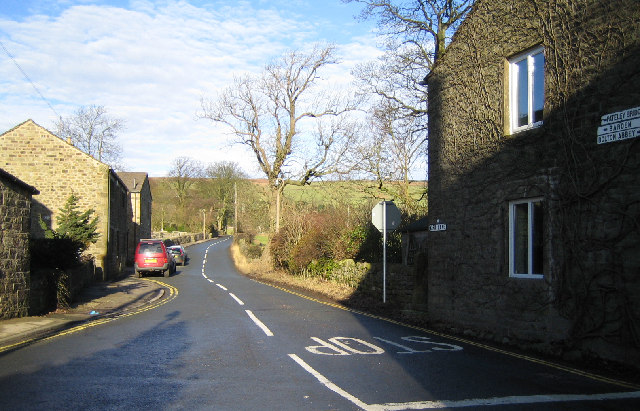
The valley is characterized by its rolling hills, lush green meadows, and meandering river, which adds to its charm. It is surrounded by quaint villages and small farms, creating a peaceful and idyllic atmosphere. The area is a haven for wildlife enthusiasts, as it is home to a variety of species including birds, mammals, and rare plants.

Draughton Bottom is also known for its numerous walking and hiking trails, making it a popular destination for outdoor enthusiasts. Visitors can explore the valley on foot, taking in the breathtaking views and immersing themselves in the tranquility of the surroundings.

In addition to its natural beauty, Draughton Bottom has a fascinating history. The valley has been inhabited for centuries, with evidence of settlements dating back to the Roman era. There are also remnants of old stone structures and ruins, serving as a reminder of the area's past.

Overall, Draughton Bottom offers a unique and captivating experience for those seeking a peaceful retreat amidst the stunning Yorkshire countryside. Whether it's admiring the scenery, embarking on a hiking adventure, or delving into the valley's history, visitors are sure to be enchanted by this hidden gem.

If you have any feedback on the listing, please let us know in the comments section below.

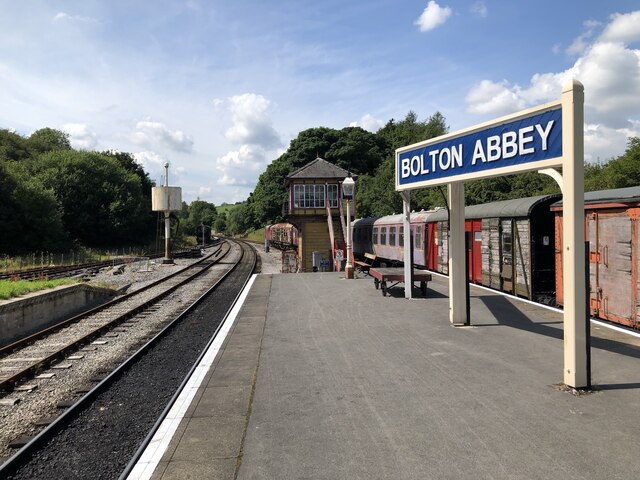
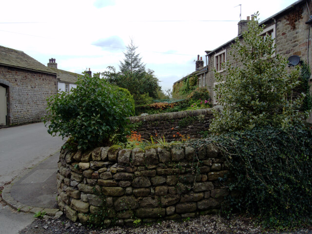
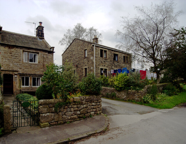
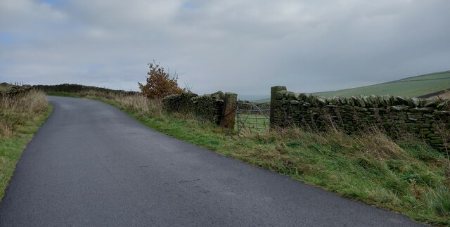
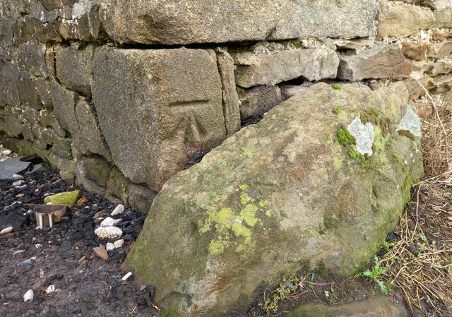
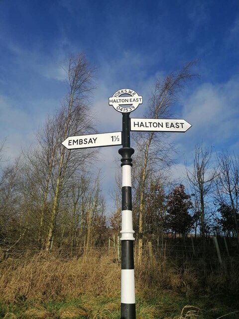
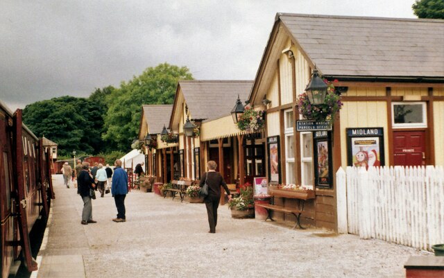
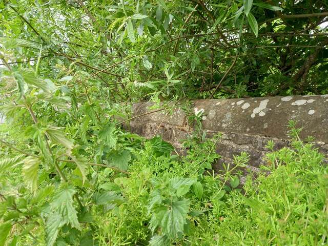
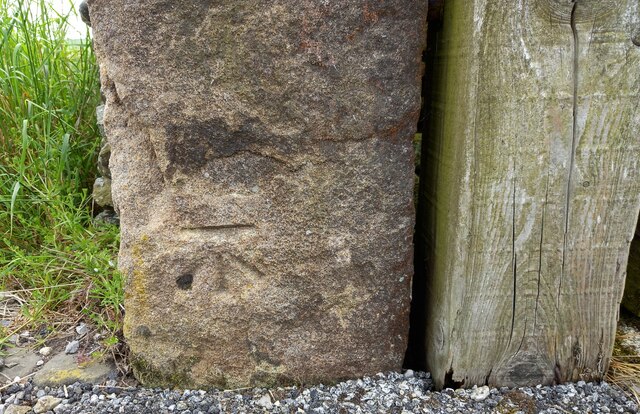
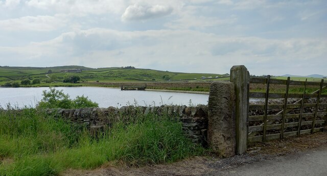
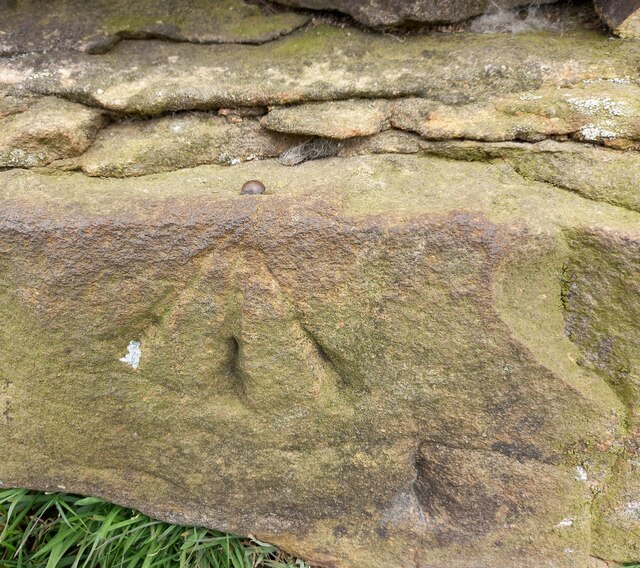
Draughton Bottom Images

Images are sourced within 2km of 53.971552/-1.9378719 or Grid Reference SE0452. Thanks to Geograph Open Source API. All images are credited.

Trig Point on Haw Pike near Bolton Bridge
Bolton Abbey Railway Station The eastern terminus of the Embsay & Bolton Abbey Steam Railway, originally a through route between Skipton and Ilkley closed in 1965.
Bolton Abbey Railway Station
The eastern terminus of the Embsay & Bolton Abbey Steam Railway, originally a through route between Skipton and Ilkley closed in 1965.
Lineside, Embsay & Bolton Abbey Steam Railway Countryside view along the Embsay & Bolton Abbey Steam Railway.
Lineside, Embsay & Bolton Abbey Steam Railway
Countryside view along the Embsay & Bolton Abbey Steam Railway.
Quarry Edge, Embsay & Bolton Abbey Steam Railway Landscaped edge of Skipton Rock Quarry seen from the Embsay & Bolton Abbey Steam Railway.
Quarry Edge, Embsay & Bolton Abbey Steam Railway
Landscaped edge of Skipton Rock Quarry seen from the Embsay & Bolton Abbey Steam Railway.
Old Boundary Marker on Drughton Moor Boundary Marker inscribed in the right-hand gatepost on Draughton Moor 730 metres north of Bank End Farm. Draughton parish. Inscribed JC, probably the initials of a landowner. See also <a title="https://www.geograph.org.uk/photo/2351032" href="https://www.geograph.org.uk/photo/2351032">Link</a>.

Milestone Society National ID: YW_DRAJC04bm
Old Boundary Marker on Drughton Moor
Boundary Marker inscribed in the right-hand gatepost on Draughton Moor 730 metres north of Bank End Farm. Draughton parish. Inscribed JC, probably the initials of a landowner. See also Link. Milestone Society National ID: YW_DRAJC04bm
Chapel Lane, Halton East
Draughton Heights The benchmark is cut into the left hand gatepost on the south side of the lane.
Draughton Heights
The benchmark is cut into the left hand gatepost on the south side of the lane.
Draughton Heights There is a benchmark cut into the left hand gatepost of this gateway on the south side of the lane.
Draughton Heights
There is a benchmark cut into the left hand gatepost of this gateway on the south side of the lane.
Draughton Riding Centre The benchmark is cut into a left hand corner stone of the old agricultural farm building.
Draughton Riding Centre
The benchmark is cut into a left hand corner stone of the old agricultural farm building.
Draughton Riding Centre There is a benchmark cut into a left hand corner stone of the old agricultural farm building.
Draughton Riding Centre
There is a benchmark cut into a left hand corner stone of the old agricultural farm building.
Direction Sign – Signpost on Holme Lane, Halton East Located on the north side of the T junction of Holme Lane and Newbridge Lane in Halton East parish. 2 arms and annulus & bar finial. Refurbished since 2016 with the finial copied from the nearby YW_SE0453 which actually is at SE041539 , see <a title="https://www.geograph.org.uk/photo/6055928" href="https://www.geograph.org.uk/photo/6055928">Link</a>.

Milestone Society National ID: YW_SE0353
Direction Sign – Signpost on Holme Lane, Halton East
Located on the north side of the T junction of Holme Lane and Newbridge Lane in Halton East parish. 2 arms and annulus & bar finial. Refurbished since 2016 with the finial copied from the nearby YW_SE0453 which actually is at SE041539 , see Link. Milestone Society National ID: YW_SE0353
Bolton Abbey Railway Station View west along the heritage railway platform
Bolton Abbey Railway Station
View west along the heritage railway platform
Cattle grazing, High Skibeden Farm
Draughton, bridge over Howgill Beck According to the OS benchmark database the OS Flush Bracket 2291 was embedded into the northern parapet of the bridge over Howgill Beck. Nothing was found, although very thick and luscious roadside undergrowth did hamper a thorough search.
Draughton, bridge over Howgill Beck
According to the OS benchmark database the OS Flush Bracket 2291 was embedded into the northern parapet of the bridge over Howgill Beck. Nothing was found, although very thick and luscious roadside undergrowth did hamper a thorough search.
Chelker Reservoir The benchmark is cut into the north-east face of a gatepost on the north side of the reservoir.
Chelker Reservoir
The benchmark is cut into the north-east face of a gatepost on the north side of the reservoir.
Chelker Reservoir There is a benchmark cut into the north-east face of a gatepost on the north side of the reservoir. The busy A65 Leeds/Skipton/Kirkby Lonsdale road can be seen in the background.
Chelker Reservoir
There is a benchmark cut into the north-east face of a gatepost on the north side of the reservoir. The busy A65 Leeds/Skipton/Kirkby Lonsdale road can be seen in the background.
Draughton, Berwick East Farm track The rivet benchmark is cut into a west angle wall corner on the track to Berwick East Farm. It is on the lowest course of stone.
Draughton, Berwick East Farm track
The rivet benchmark is cut into a west angle wall corner on the track to Berwick East Farm. It is on the lowest course of stone.
Show me another place!

Draughton Bottom is located at Grid Ref: SE0452 (Lat: 53.971552, Lng: -1.9378719)

Division: West Riding

Administrative County: North Yorkshire

District: Craven

Police Authority: North Yorkshire

What 3 Words

///carpentry.circle.plans. Near Embsay, North Yorkshire

Related Wikis

Nearby Amenities

Located within 500m of 53.971552,-1.9378719
Railway: switch
Lat/Long: 53.9732445/-1.933572
Draughton
Created By: Potlatch 0.8
Is In: UK, Yorkshire, North Yorkshire
Place: village
Lat/Long: 53.967968/-1.9408149
Barrier: cattle_grid
Source: survey
Lat/Long: 53.9681983/-1.935561
Turning Circle
Lat/Long: 53.9682987/-1.9428182
Turning Circle
Source: Bing
Lat/Long: 53.9707205/-1.9415517
Barrier: stile
Lat/Long: 53.9681261/-1.9400437
Street Lamp
Source: survey
Lat/Long: 53.9687076/-1.9419401
Street Lamp
Source: survey
Lat/Long: 53.9684395/-1.9421439
Bench
Source: survey
Lat/Long: 53.9681776/-1.942042
Street Lamp
Source: survey
Lat/Long: 53.9723851/-1.9377033
Barrier: stile
Source: survey
Lat/Long: 53.9755445/-1.9352963
Generator Source: wind
Power: generator
Source: survey;Bing
Lat/Long: 53.9705235/-1.9349084
Barrier: stile
Source: survey
Lat/Long: 53.9684256/-1.9407337
Post Box
Drive Through: no
Operator: Royal Mail
Post Box Type: wall
Lat/Long: 53.9697257/-1.9418449
Power: pole
Lat/Long: 53.9701571/-1.9430588
Power: pole
Lat/Long: 53.9697064/-1.9317565
Power: pole
Lat/Long: 53.9700699/-1.9327444
Power: pole
Lat/Long: 53.9736877/-1.9384426
Power: pole
Lat/Long: 53.9733516/-1.9371337
Power: pole
Lat/Long: 53.9730235/-1.9358811
Power: pole
Lat/Long: 53.9748535/-1.9352535
Power: pole
Lat/Long: 53.9743598/-1.9358715
Power: pole
Lat/Long: 53.9739439/-1.9363922
Power: pole
Lat/Long: 53.9737851/-1.9411626
Power: pole
Lat/Long: 53.9738367/-1.9426026
Power: pole
Lat/Long: 53.9738873/-1.9440152
Power: pole
Lat/Long: 53.9701317/-1.9440988
Defibrillator
Access: yes
Defibrillator Location: outside Draughton Village Hall
Emergency: defibrillator
Indoor: no
Lat/Long: 53.9682777/-1.9418075
The data included in this document is from www.openstreetmap.org. The data is made available under ODbL.

Have you been to Draughton Bottom?

Leave your review of Draughton Bottom below (or comments, questions and feedback).