Banks Wood

Wood, Forest in Yorkshire Craven

England

Banks Wood

Trig Point on Haw Pike near Bolton Bridge
Trig Point on Haw Pike near Bolton Bridge Credit: Colin Park

Banks Wood is a picturesque woodland located in the county of Yorkshire, England. Situated in the heart of the Yorkshire Dales National Park, this enchanting forest spans over a vast area, offering visitors an opportunity to immerse themselves in the natural beauty of the region.

The wood is primarily composed of native broadleaf trees, including oak, beech, and ash, which create a dense canopy overhead, casting dappled sunlight onto the forest floor. The rich and diverse vegetation provides a habitat for a wide range of wildlife, including deer, foxes, badgers, and numerous bird species.

Tranquil walking trails wind through Banks Wood, inviting visitors to explore its peaceful surroundings. The paths meander past babbling brooks, ancient stone walls, and moss-covered boulders, adding to the charm and allure of the woodland. In the spring, the forest floor becomes a vibrant carpet of bluebells, creating a breathtaking sight for nature enthusiasts.

Banks Wood is also home to a variety of rare and protected plant species, making it an important conservation area. The management of the woodland is carefully overseen by local authorities and organizations to ensure its preservation and ecological balance.

Visitors to Banks Wood can enjoy a range of activities, including hiking, birdwatching, and photography. Additionally, the woodland provides a peaceful retreat for those seeking solace and tranquility away from the hustle and bustle of everyday life.

Overall, Banks Wood is a natural treasure in the heart of Yorkshire, offering a wonderful opportunity to experience the beauty and serenity of a British woodland.

If you have any feedback on the listing, please let us know in the comments section below.
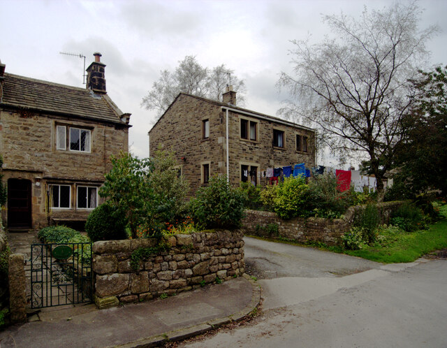
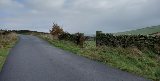
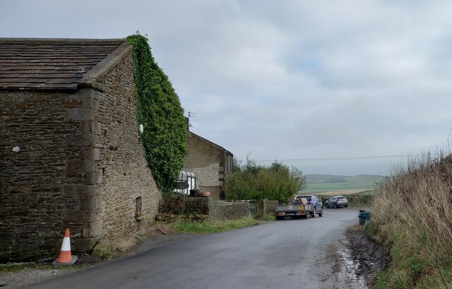
Banks Wood Images

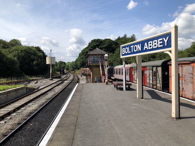
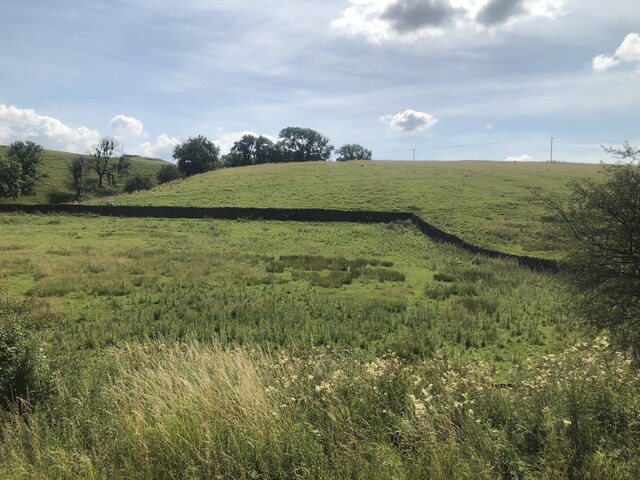
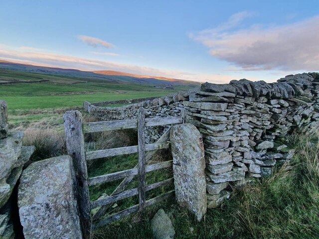
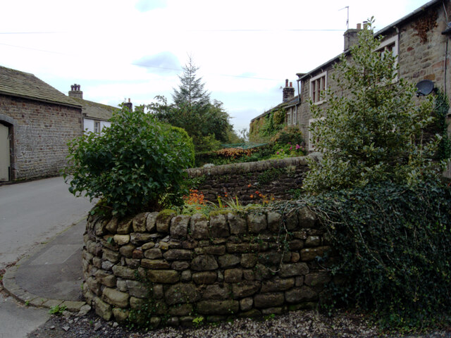
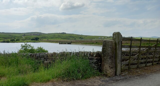
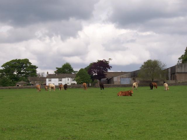
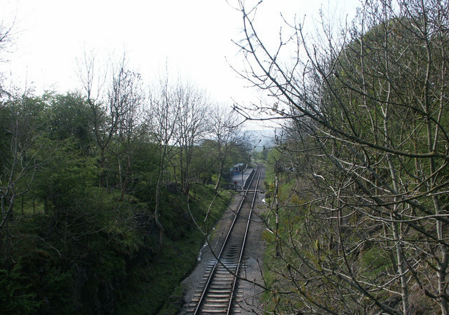
Images are sourced within 2km of 53.971798/-1.9290295 or Grid Reference SE0452. Thanks to Geograph Open Source API. All images are credited.

Trig Point on Haw Pike near Bolton Bridge
Bolton Abbey Railway Station The eastern terminus of the Embsay & Bolton Abbey Steam Railway, originally a through route between Skipton and Ilkley closed in 1965.
Bolton Abbey Railway Station
The eastern terminus of the Embsay & Bolton Abbey Steam Railway, originally a through route between Skipton and Ilkley closed in 1965.
Lineside, Embsay & Bolton Abbey Steam Railway Countryside view along the Embsay & Bolton Abbey Steam Railway.
Lineside, Embsay & Bolton Abbey Steam Railway
Countryside view along the Embsay & Bolton Abbey Steam Railway.
Old Boundary Marker on Drughton Moor Boundary Marker inscribed in the right-hand gatepost on Draughton Moor 730 metres north of Bank End Farm. Draughton parish. Inscribed JC, probably the initials of a landowner. See also <a title="https://www.geograph.org.uk/photo/2351032" href="https://www.geograph.org.uk/photo/2351032">Link</a>.

Milestone Society National ID: YW_DRAJC04bm
Old Boundary Marker on Drughton Moor
Boundary Marker inscribed in the right-hand gatepost on Draughton Moor 730 metres north of Bank End Farm. Draughton parish. Inscribed JC, probably the initials of a landowner. See also Link. Milestone Society National ID: YW_DRAJC04bm
Wind turbines at Chelker Reservoir
Chapel Lane, Halton East
Draughton Heights The benchmark is cut into the left hand gatepost on the south side of the lane.
Draughton Heights
The benchmark is cut into the left hand gatepost on the south side of the lane.
Draughton Heights There is a benchmark cut into the left hand gatepost of this gateway on the south side of the lane.
Draughton Heights
There is a benchmark cut into the left hand gatepost of this gateway on the south side of the lane.
Draughton Riding Centre The benchmark is cut into a left hand corner stone of the old agricultural farm building.
Draughton Riding Centre
The benchmark is cut into a left hand corner stone of the old agricultural farm building.
Draughton Riding Centre There is a benchmark cut into a left hand corner stone of the old agricultural farm building.
Draughton Riding Centre
There is a benchmark cut into a left hand corner stone of the old agricultural farm building.
Direction Sign – Signpost on Holme Lane, Halton East Located on the north side of the T junction of Holme Lane and Newbridge Lane in Halton East parish. 2 arms and annulus & bar finial. Refurbished since 2016 with the finial copied from the nearby YW_SE0453 which actually is at SE041539 , see <a title="https://www.geograph.org.uk/photo/6055928" href="https://www.geograph.org.uk/photo/6055928">Link</a>.

Milestone Society National ID: YW_SE0353
Direction Sign – Signpost on Holme Lane, Halton East
Located on the north side of the T junction of Holme Lane and Newbridge Lane in Halton East parish. 2 arms and annulus & bar finial. Refurbished since 2016 with the finial copied from the nearby YW_SE0453 which actually is at SE041539 , see Link. Milestone Society National ID: YW_SE0353
Bolton Abbey Railway Station View west along the heritage railway platform
Bolton Abbey Railway Station
View west along the heritage railway platform
Draughton, bridge over Howgill Beck According to the OS benchmark database the OS Flush Bracket 2291 was embedded into the northern parapet of the bridge over Howgill Beck. Nothing was found, although very thick and luscious roadside undergrowth did hamper a thorough search.
Draughton, bridge over Howgill Beck
According to the OS benchmark database the OS Flush Bracket 2291 was embedded into the northern parapet of the bridge over Howgill Beck. Nothing was found, although very thick and luscious roadside undergrowth did hamper a thorough search.
Chelker Reservoir The benchmark is cut into the north-east face of a gatepost on the north side of the reservoir.
Chelker Reservoir
The benchmark is cut into the north-east face of a gatepost on the north side of the reservoir.
Chelker Reservoir There is a benchmark cut into the north-east face of a gatepost on the north side of the reservoir. The busy A65 Leeds/Skipton/Kirkby Lonsdale road can be seen in the background.
Chelker Reservoir
There is a benchmark cut into the north-east face of a gatepost on the north side of the reservoir. The busy A65 Leeds/Skipton/Kirkby Lonsdale road can be seen in the background.
Draughton, Berwick East Farm track The rivet benchmark is cut into a west angle wall corner on the track to Berwick East Farm. It is on the lowest course of stone.
Draughton, Berwick East Farm track
The rivet benchmark is cut into a west angle wall corner on the track to Berwick East Farm. It is on the lowest course of stone.
Draughton, Berwick East Farm track There is a rivet benchmark cut into the lowest course of stone on the west angled wall corner, to the right of the track.
Draughton, Berwick East Farm track
There is a rivet benchmark cut into the lowest course of stone on the west angled wall corner, to the right of the track.
Show me another place!

Banks Wood is located at Grid Ref: SE0452 (Lat: 53.971798, Lng: -1.9290295)

Division: West Riding

Administrative County: North Yorkshire

District: Craven

Police Authority: North Yorkshire

What 3 Words

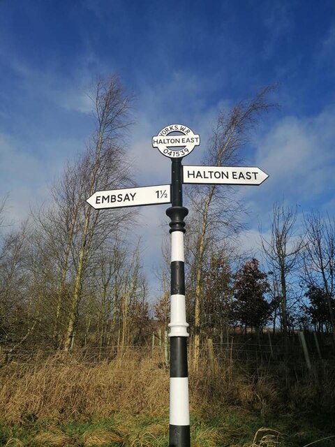
///negotiators.announced.wealth. Near Embsay, North Yorkshire

Related Wikis

Nearby Amenities

Located within 500m of 53.971798,-1.9290295
Railway: switch
Lat/Long: 53.9732445/-1.933572
Banks
Natural: fell
Source: NPE
Lat/Long: 53.9725835/-1.922043
Thornber
Man Made: survey_point
Natural: peak
Source: OS 1:25k
Lat/Long: 53.9683423/-1.9312529
Historic: archaeological_site
Note: a tumulus maybe??
Source: OS 1:25k
Lat/Long: 53.9688093/-1.9315962
Parking
Parking: layby
Lat/Long: 53.9758224/-1.9277589
Power: pole
Source: survey;Bing
Lat/Long: 53.9680009/-1.926059
Power: pole
Source: Bing
Lat/Long: 53.9689428/-1.9291301
Power: pole
Source: Bing
Lat/Long: 53.9693404/-1.9304632
Generator Source: wind
Power: generator
Source: survey;Bing
Lat/Long: 53.9705235/-1.9349084
Man Made: manhole
Source: OS 1:25k
Lat/Long: 53.9737332/-1.9240889
Man Made: manhole
Source: OS 1:25k
Lat/Long: 53.9744778/-1.9239602
Man Made: manhole
Source: OS 1:25k
Lat/Long: 53.9707193/-1.9246286
Power: pole
Lat/Long: 53.9697064/-1.9317565
Power: pole
Lat/Long: 53.9700699/-1.9327444
Power: pole
Lat/Long: 53.9730235/-1.9358811
The data included in this document is from www.openstreetmap.org. The data is made available under ODbL.

Have you been to Banks Wood?

Leave your review of Banks Wood below (or comments, questions and feedback).