The Clough

Valley in Staffordshire Staffordshire Moorlands

England

The Clough

The Old Red Lion in Ipstones
The Old Red Lion in Ipstones Credit: Jonathan Clitheroe

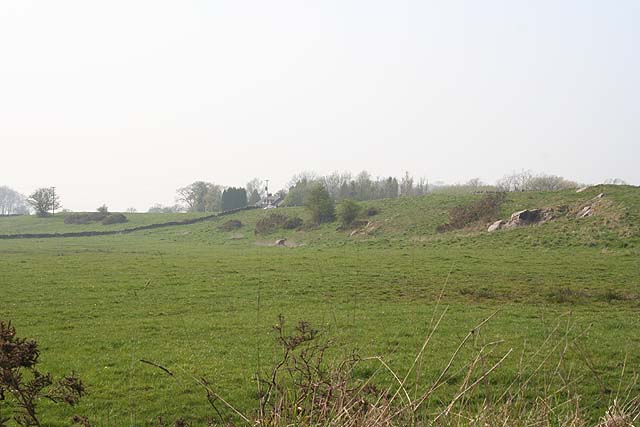
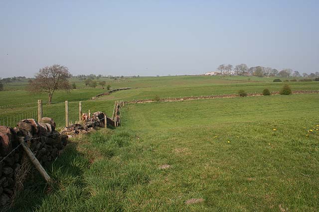
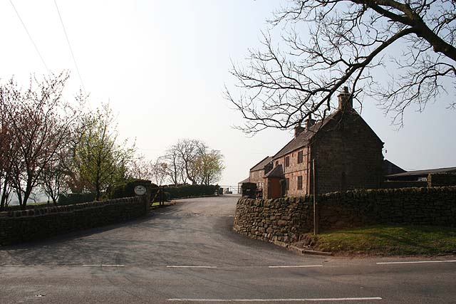
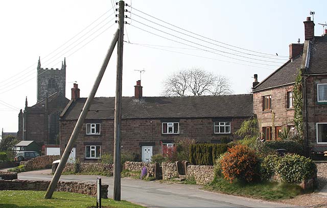
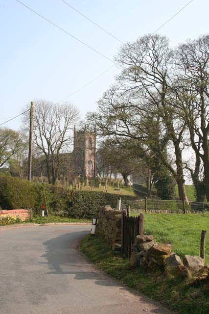
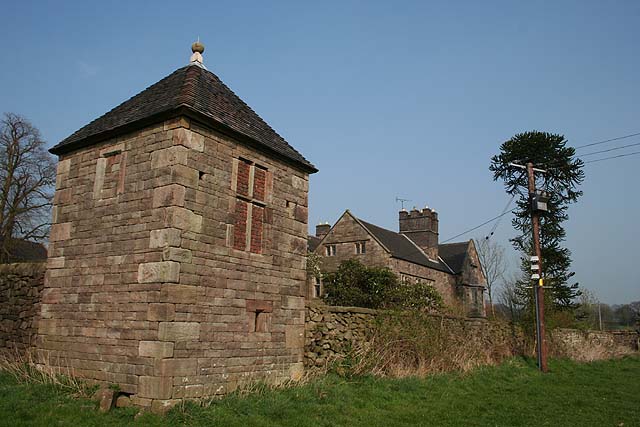
The Clough is a picturesque valley located in Staffordshire, England. Nestled between rolling hills and lush greenery, this hidden gem offers visitors a tranquil escape from the hustle and bustle of city life.

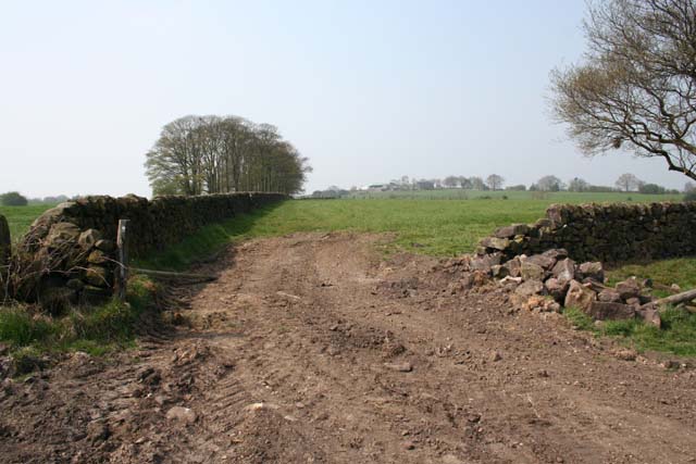
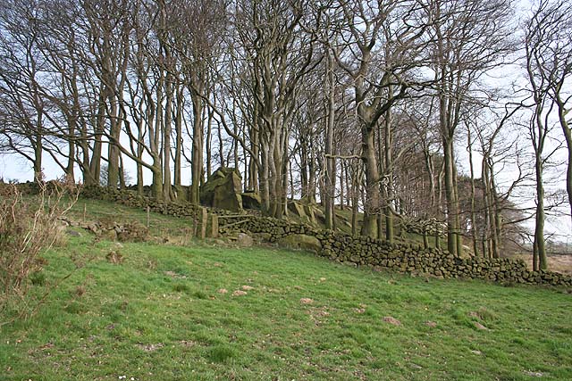
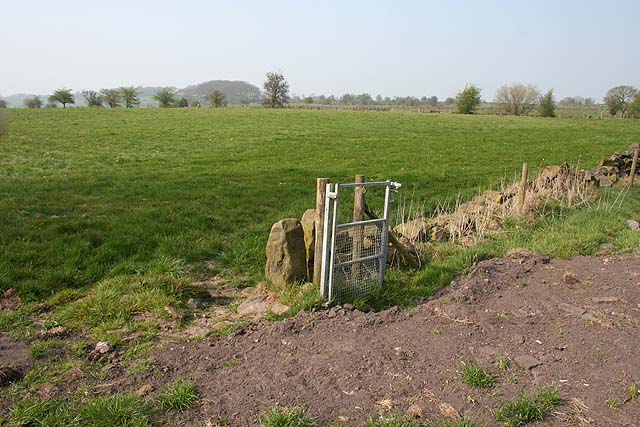
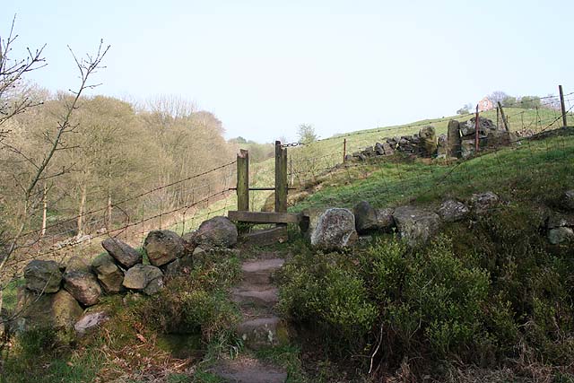
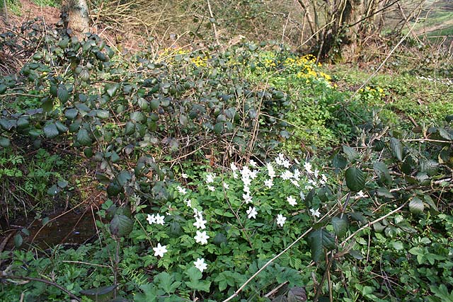
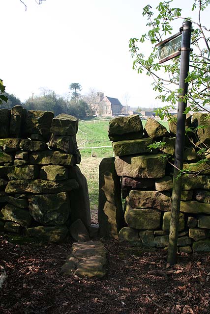
The valley is characterized by its striking natural beauty, with a meandering river running through its heart. The Clough is renowned for its diverse flora and fauna, boasting a variety of plant species and serving as a habitat for several bird species. Nature enthusiasts can enjoy leisurely walks along the well-maintained trails, immersing themselves in the peaceful ambiance and breathtaking scenery.

The Clough is also steeped in history, with evidence of human settlement dating back to the Neolithic period. Archaeological finds have included tools, pottery, and even a Bronze Age burial mound, providing a fascinating glimpse into the area's past.

Visitors to The Clough can take advantage of the many recreational activities on offer. Fishing is a popular pastime, with the river teeming with trout and other freshwater fish. The valley is also a haven for birdwatching, with the opportunity to spot species such as kingfishers, herons, and woodpeckers.

For those seeking a more relaxed experience, there are several picnic areas dotted throughout the valley, allowing visitors to enjoy a leisurely lunch amidst the stunning natural backdrop.

In summary, The Clough in Staffordshire is a captivating destination that offers a harmonious blend of natural beauty, historical significance, and recreational opportunities. Whether you are an avid nature lover, a history enthusiast, or simply seeking a peaceful retreat, The Clough is sure to leave a lasting impression.

If you have any feedback on the listing, please let us know in the comments section below.
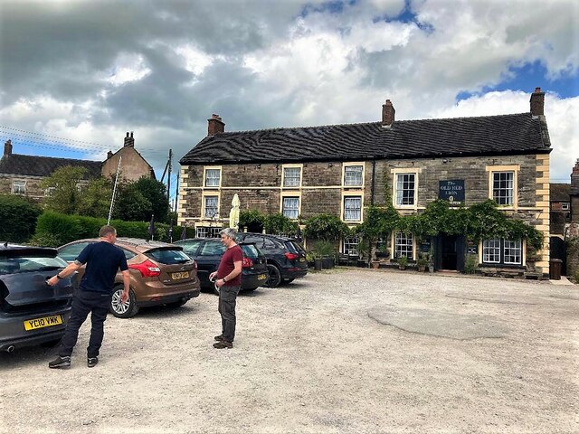
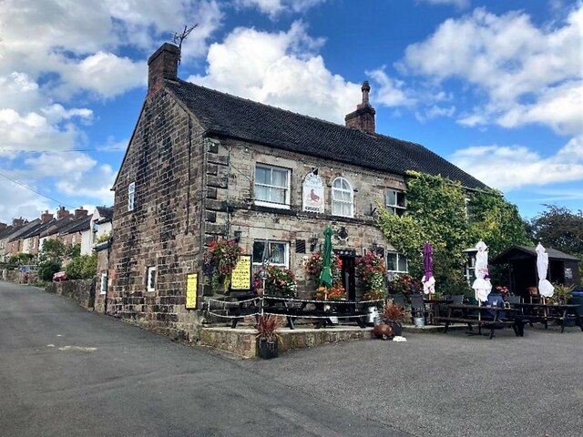
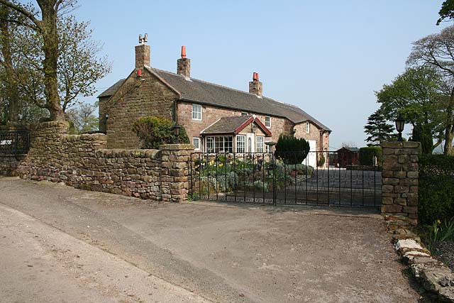
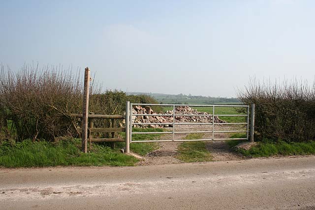
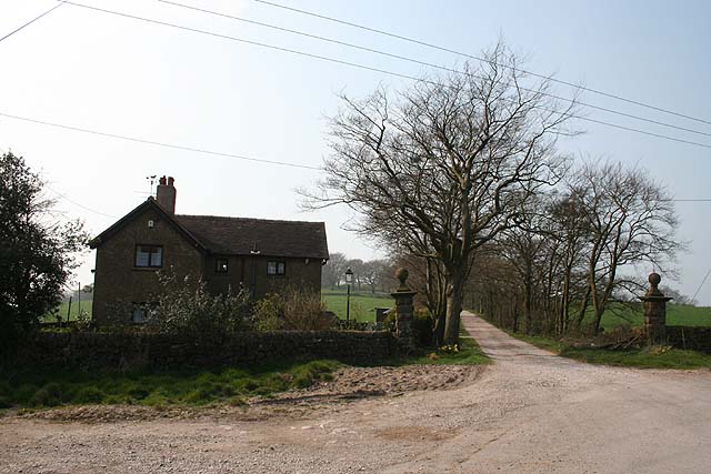
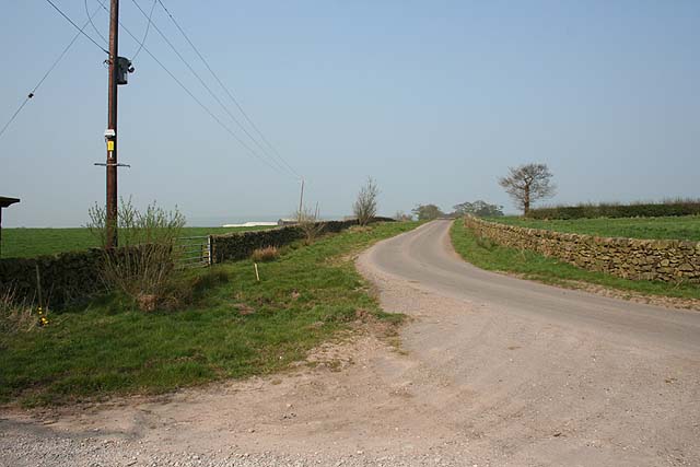
The Clough Images

Images are sourced within 2km of 53.054444/-1.9770135 or Grid Reference SK0150. Thanks to Geograph Open Source API. All images are credited.

The Old Red Lion in Ipstones
The Sea Lion Public House, Ipstones Well-appointed pub tucked away in a quiet corner of the village.
The Sea Lion Public House, Ipstones
Well-appointed pub tucked away in a quiet corner of the village.
Towards Padwick View from the footpath; the dry-stone wall in the foreground (to the right of the gap) has been recently rebuilt.
Towards Padwick
View from the footpath; the dry-stone wall in the foreground (to the right of the gap) has been recently rebuilt.
Ladyedge Nicely converted farmhouse on no-through road.
Ladyedge
Nicely converted farmhouse on no-through road.
Footpath to Summer Hill Little-used footpath cutting a corner on the no-through road to Ladyedge and Brown Edge Farm.
Footpath to Summer Hill
Little-used footpath cutting a corner on the no-through road to Ladyedge and Brown Edge Farm.
Sharpcliffe Lodge At the entrance to the track to Sharpcliffe Hall.
Sharpcliffe Lodge
At the entrance to the track to Sharpcliffe Hall.
Road to Ladyedge From outside Sharpcliffe Lodge on the sharp right-hand bend.
Road to Ladyedge
From outside Sharpcliffe Lodge on the sharp right-hand bend.
Rock outcrop near Sharpcliffe Lodge This unnamed wood contains a number of large outcropping rocks.
Rock outcrop near Sharpcliffe Lodge
This unnamed wood contains a number of large outcropping rocks.
White Chimneys From the B5053; the well marked on the map is just visible as a sedgy patch in the field to the left of this picture. A few rocks outcrop on the bank to the right.
White Chimneys
From the B5053; the well marked on the map is just visible as a sedgy patch in the field to the left of this picture. A few rocks outcrop on the bank to the right.
View to New House Farm Undulating farmland between New House Farm and Ipstones.
View to New House Farm
Undulating farmland between New House Farm and Ipstones.
Redundant gate Nice to see money being spent on rights-of-way but this nearly-new gate struck me as rather a waste of money...
Redundant gate
Nice to see money being spent on rights-of-way but this nearly-new gate struck me as rather a waste of money...
New House Farm Home to a farm supplies business (selling gates, fencing, drainage pipes etc.) as well as a working farm.
New House Farm
Home to a farm supplies business (selling gates, fencing, drainage pipes etc.) as well as a working farm.
Stocks Green and Ipstones church Pretty village corner. The bird on the wire was a Starling (who'd just finished doing what comes naturally with her mate).
Stocks Green and Ipstones church
Pretty village corner. The bird on the wire was a Starling (who'd just finished doing what comes naturally with her mate).
St. Leonard's, Ipstones From the road to the northwest. St. Leonard's Church was rebuilt in 1790.
St. Leonard's, Ipstones
From the road to the northwest. St. Leonard's Church was rebuilt in 1790.
Footpath near Coltstone With the imaginatively named "The Clough" to the left.
Footpath near Coltstone
With the imaginatively named "The Clough" to the left.
Wood Anemones and Marsh Marigolds Growing in damp ground where the footpath from Coltstone crosses The Clough.
Wood Anemones and Marsh Marigolds
Growing in damp ground where the footpath from Coltstone crosses The Clough.
Whitehough Both the 17th-century farmhouse and the 18th-century gazebo in the foreground are Grade II* listed.
Whitehough
Both the 17th-century farmhouse and the 18th-century gazebo in the foreground are Grade II* listed.
Footpath to Whitehough Whitehough is a Grade II* listed 17th-century farmhouse.
Footpath to Whitehough
Whitehough is a Grade II* listed 17th-century farmhouse.
Show me another place!

The Clough is located at Grid Ref: SK0150 (Lat: 53.054444, Lng: -1.9770135)

Administrative County: Staffordshire

District: Staffordshire Moorlands

Police Authority: Staffordshire

What 3 Words

///widget.spent.strutted. Near Cheddleton, Staffordshire

Related Wikis

Above Church

Above Church is a hamlet about 0.6 kilometers (0.4 mi) northwest of Ipstones in the English county of Staffordshire. It is located at grid reference SK016504...

Ipstones

Ipstones is a village and civil parish in the north of the English county of Staffordshire. Ipstones is part of the Staffordshire Moorlands district; within...

Staffordshire Moorlands (UK Parliament constituency)

Staffordshire Moorlands is a constituency represented in the House of Commons of the UK Parliament since 2010 by Karen Bradley, a Conservative who served...

Ipstones railway station

Ipstones railway station was a railway station that served the village of Ipstones, Staffordshire. It was opened by the North Staffordshire Railway (NSR...

Coombes Valley RSPB reserve

Coombes Valley RSPB reserve (grid reference SK005525) is a nature reserve, run by the RSPB, near the town of Leek in Staffordshire, England. It is best...

Consall railway station

Consall railway station is a former passenger railway station of the North Staffordshire Railway (NSR) and is now a preserved station on the Churnet Valley...

Uttoxeter Canal

The Uttoxeter Canal was a thirteen-mile extension of the Caldon Canal running from Froghall as far as Uttoxeter in Staffordshire, England. It was authorised...

Harston Wood

Harston Wood is a nature reserve of the Staffordshire Wildlife Trust. It is an ancient woodland, adjacent to the village of Froghall, near Cheadle, Staffordshire...

Nearby Amenities

Located within 500m of 53.054444,-1.9770135
Barrier: stile
Lat/Long: 53.0540948/-1.9776436
Barrier: stile
Fixme: Does this stile still exist? I didn't remember it.
Lat/Long: 53.0523652/-1.9756214
Barrier: stile
Stile: squeezer
Lat/Long: 53.0519604/-1.975371
Barrier: stile
Source: survey
Stile: squeezer
Lat/Long: 53.0502648/-1.9743573
Barrier: stile
Stile: squeezer
Lat/Long: 53.0510925/-1.9748232
Barrier: stile
Source: survey
Stile: squeezer
Lat/Long: 53.0516758/-1.9744188
Barrier: stile
Source: survey
Stile: squeezer
Lat/Long: 53.051679/-1.9743283
Above Church
Place: locality
Source: OS OpenData StreetView
Lat/Long: 53.0506375/-1.977781
Coltstone
Place: locality
Source: OS OpenData StreetView
Lat/Long: 53.0528689/-1.9804847
Barrier: stile
Steps: 0
Stile: stepover
Lat/Long: 53.0533963/-1.9765107
Fixme: check relationship of both wall and fence here to path. Check number of stiles
Lat/Long: 53.0540749/-1.9776589
Barrier: stile
Steps: 0
Stile: stepover
Lat/Long: 53.0540984/-1.9777408
Barrier: stile
Lat/Long: 53.0573046/-1.9809484
The data included in this document is from www.openstreetmap.org. The data is made available under ODbL.

Have you been to The Clough?

Leave your review of The Clough below (or comments, questions and feedback).