Buckstones Slack
Valley in Yorkshire
England
Buckstones Slack

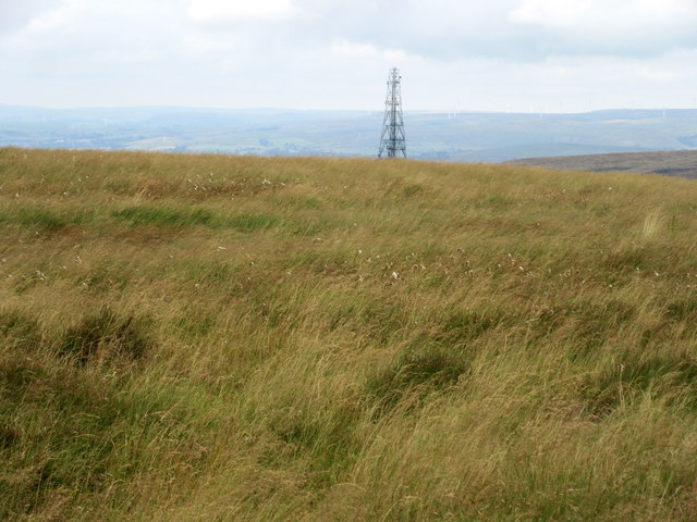
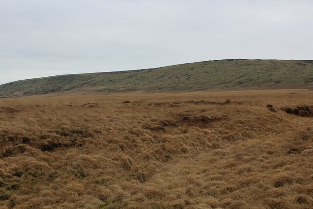
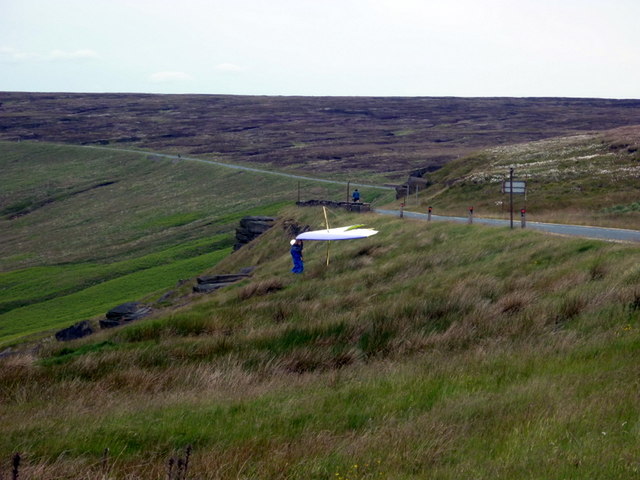
Buckstones Slack is a picturesque valley located in Yorkshire, England. Situated near the village of Marsden, it is known for its natural beauty and tranquil surroundings. The valley is nestled amidst the rolling hills and moorland of the Pennines, offering visitors breathtaking views of the surrounding landscape.
Buckstones Slack is characterized by its steep slopes, rocky outcrops, and dense vegetation, creating a diverse and thriving ecosystem. The valley is home to a variety of plant and animal species, including heather, bilberry, and numerous bird species such as curlews and lapwings.
The valley is also famous for its walking trails, attracting outdoor enthusiasts and nature lovers from near and far. The trails offer a range of difficulty levels, catering to both beginners and experienced hikers. As visitors explore the valley, they can enjoy the serenity of the surroundings and the soothing sound of the nearby streams.
History buffs will find Buckstones Slack intriguing, as it is believed to have been used as a hunting ground during the medieval period. The valley's name itself, "Buckstones," is derived from the Old English word "bucca," meaning male deer, further reinforcing its historical significance.
Overall, Buckstones Slack offers a peaceful retreat for those seeking to immerse themselves in Yorkshire's natural beauty. With its stunning vistas, diverse flora and fauna, and rich history, it is a must-visit destination for anyone exploring the region.
If you have any feedback on the listing, please let us know in the comments section below.
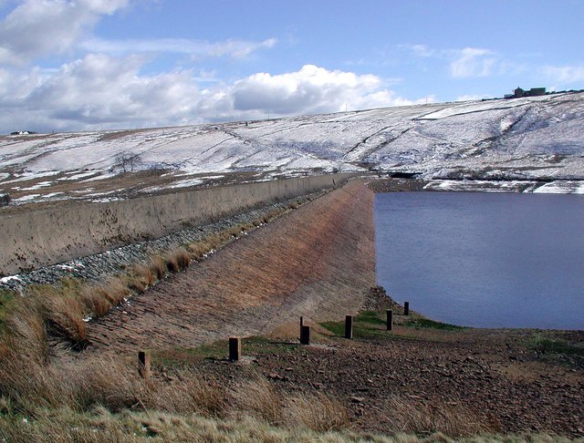
Buckstones Slack Images
Images are sourced within 2km of 53.617089/-1.9768636 or Grid Reference SE0113. Thanks to Geograph Open Source API. All images are credited.


Buckstones Slack is located at Grid Ref: SE0113 (Lat: 53.617089, Lng: -1.9768636)
Division: West Riding
Unitary Authority: Kirklees
Police Authority: West Yorkshire
What 3 Words
///immediate.scouts.vest. Near Marsden, West Yorkshire
Nearby Locations
Related Wikis

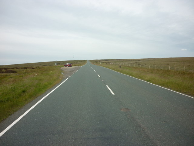
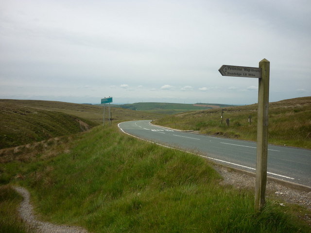
A640 road
The A640 is a road in England which runs between Rochdale in Greater Manchester and Huddersfield in West Yorkshire. The road's most westbound point as...

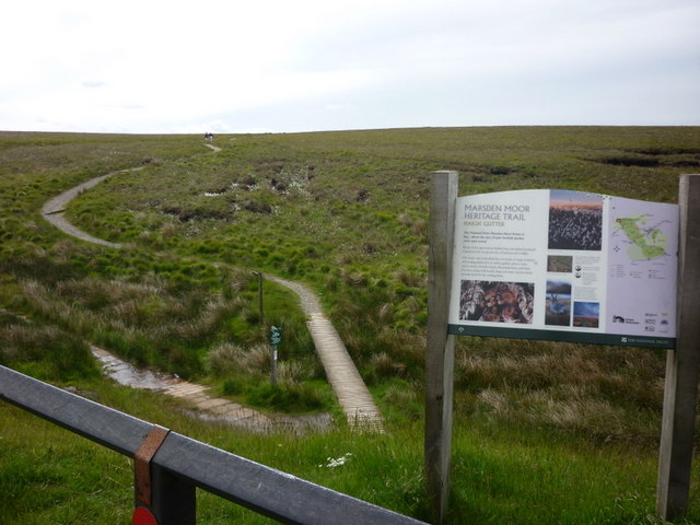
Marsden Moor Estate
The Marsden Moor Estate is a large expanse of moorland in the South Pennines, between the conurbations of West Yorkshire and Greater Manchester in the...
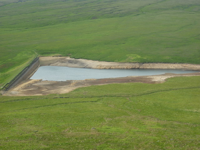
Deanhead Reservoir
Deanhead Reservoir is a reservoir near Scammonden, in the metropolitan district of Kirklees, West Yorkshire, England. It is named after Dean Head, a village...

Booth Wood Reservoir
Booth Wood Reservoir is a man-made upland reservoir that lies north of the M62 motorway and south of the A672 road near to Rishworth and Ripponden in Calderdale...
Nearby Amenities
Located within 500m of 53.617089,-1.9768636Have you been to Buckstones Slack?
Leave your review of Buckstones Slack below (or comments, questions and feedback).