Lane Head Clough
Valley in Yorkshire
England
Lane Head Clough

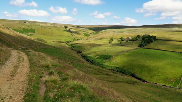
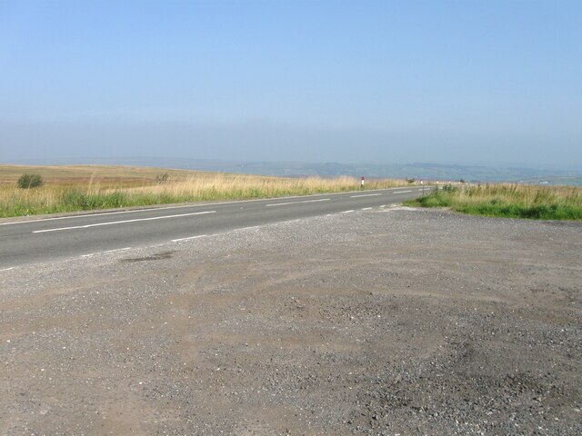
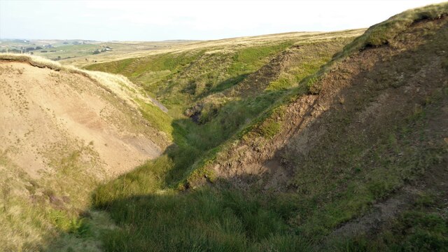
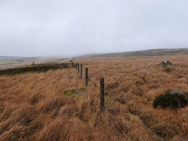
Lane Head Clough is a picturesque valley located in the county of Yorkshire, England. Nestled within the beautiful countryside, this tranquil spot offers visitors a chance to immerse themselves in the natural beauty of the region.
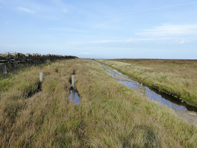
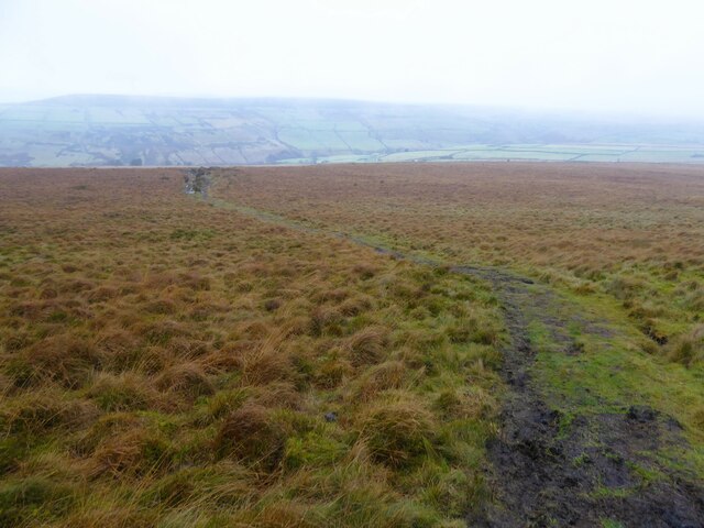
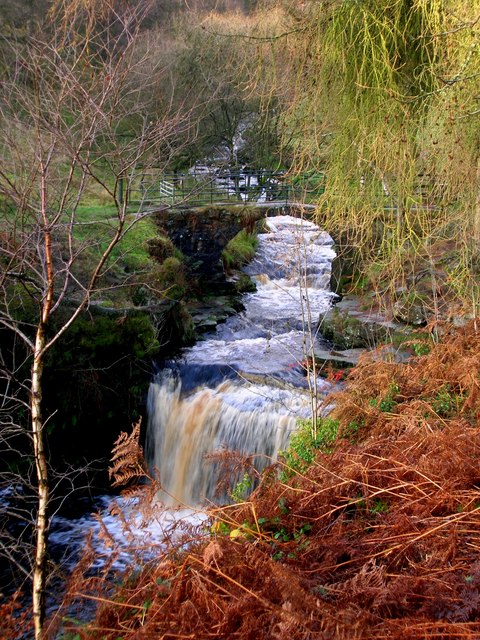
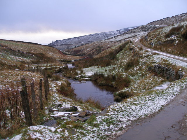
The valley is characterized by its rolling hills, lush green meadows, and a babbling stream that runs through its center. The stream, known as Clough Beck, meanders its way through the valley, creating a sense of serenity and tranquility.
Lane Head Clough is home to a diverse range of plant and animal species, making it a haven for nature enthusiasts and wildlife lovers. The valley is carpeted with wildflowers during the spring and summer months, adding splashes of vibrant colors to the landscape.
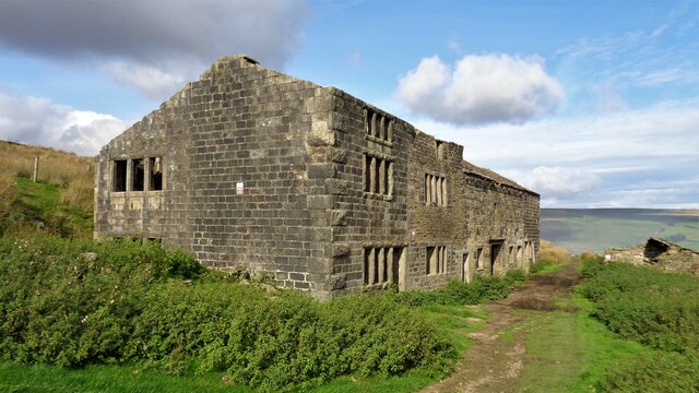
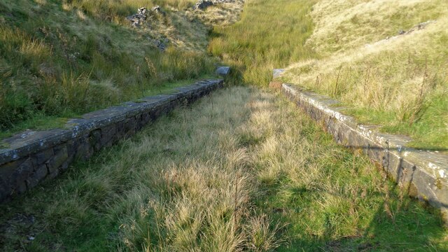
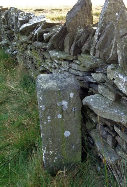
The area is also rich in history, with several archaeological sites and remnants of ancient settlements dotted around the valley. These historical features offer a glimpse into the past and provide a fascinating insight into the lives of the people who once inhabited this area.
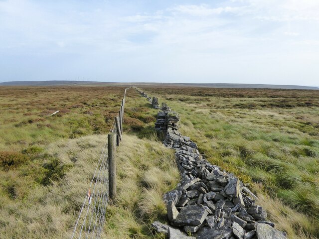
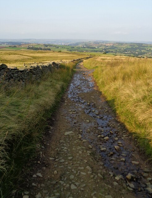
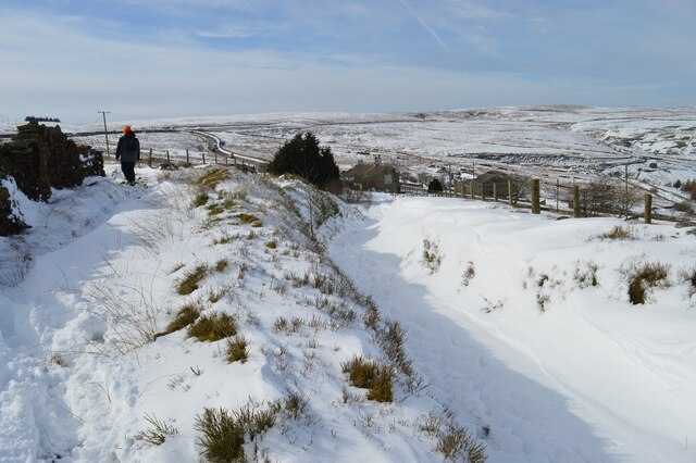
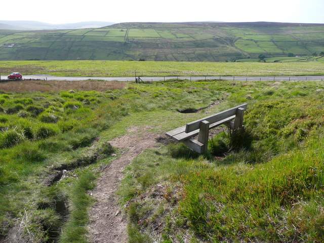
Visitors to Lane Head Clough can enjoy a variety of outdoor activities, including hiking, cycling, and birdwatching. The valley is crisscrossed with well-maintained trails, providing opportunities for exploration and discovery.
For those seeking a peaceful getaway amidst nature, Lane Head Clough is a perfect destination. Its idyllic setting, diverse wildlife, and rich history make it a truly enchanting place to visit.
If you have any feedback on the listing, please let us know in the comments section below.
Lane Head Clough Images
Images are sourced within 2km of 53.790094/-2.0038943 or Grid Reference SD9932. Thanks to Geograph Open Source API. All images are credited.

Lane Head Clough is located at Grid Ref: SD9932 (Lat: 53.790094, Lng: -2.0038943)
Division: West Riding
Unitary Authority: Calderdale
Police Authority: West Yorkshire
What 3 Words
///hands.tasks.anode. Near Oxenhope, West Yorkshire
Nearby Locations
Related Wikis

Top Withens
Top Withens (SD981353) (also known as Top Withins) is a ruined farmhouse near Haworth, West Yorkshire, England, which is said to have been the inspiration...
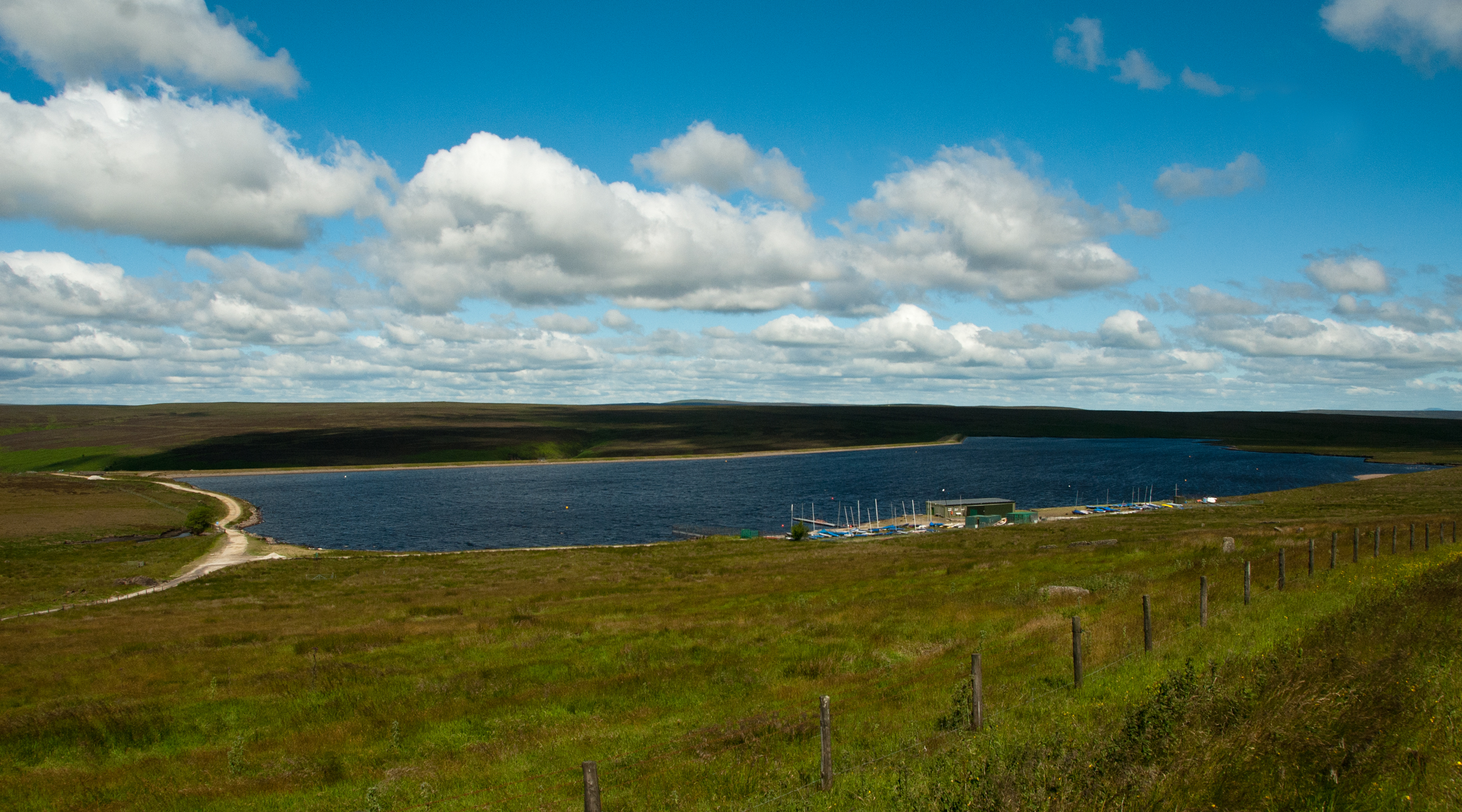
Warley Moor Reservoir
Warley Moor Reservoir, also known as Fly Flatts Reservoir, is a drinking water reservoir in West Yorkshire, England, owned and operated by Yorkshire Water...

Walshaw Dean Reservoirs
Walshaw Dean Reservoirs are three reservoirs situated above Hebden Bridge, West Yorkshire, England. They are between Hebden Bridge and Top Withins, a ruined...

Hardcastle Crags
Hardcastle Crags is a wooded Pennine valley in West Yorkshire, England, owned by the National Trust. Historically part of the West Riding of Yorkshire...
Nearby Amenities
Located within 500m of 53.790094,-2.0038943Have you been to Lane Head Clough?
Leave your review of Lane Head Clough below (or comments, questions and feedback).