Diglee Clough
Valley in Cheshire High Peak
England
Diglee Clough
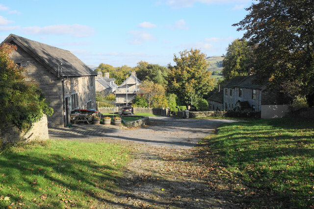
Diglee Clough is a picturesque valley located in the county of Cheshire, England. Situated in the eastern part of the county, it offers stunning natural beauty and a tranquil setting that attracts both locals and tourists alike.
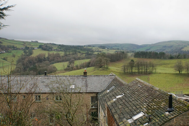
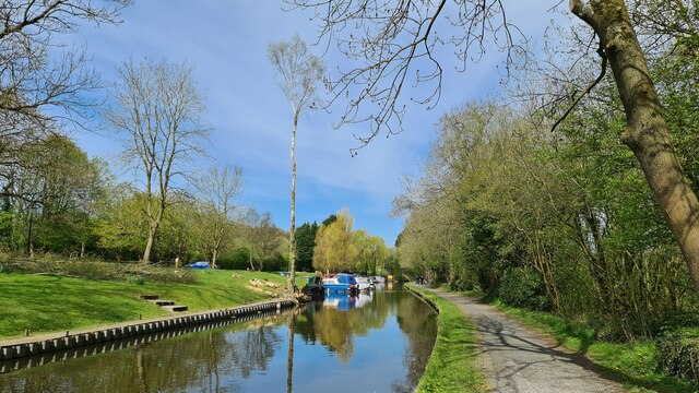
Nestled between rolling hills, Diglee Clough is known for its lush greenery, meandering streams, and charming countryside views. The valley is characterized by its idyllic rural landscape, featuring fields dotted with sheep and cattle, ancient woodland areas, and meadows carpeted with wildflowers during the spring and summer months.
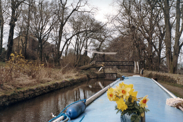
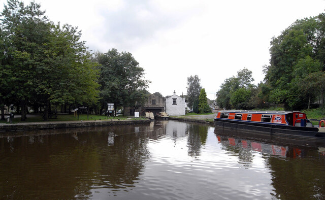
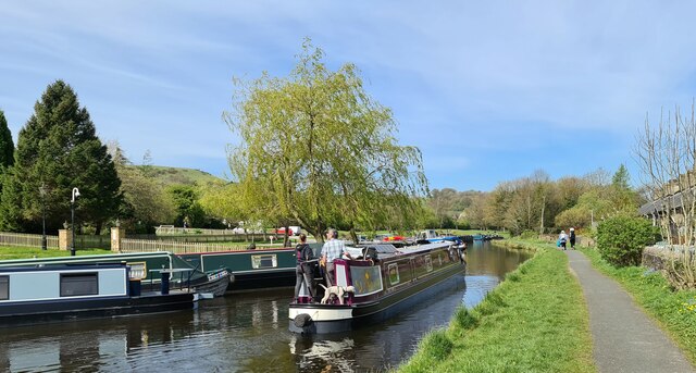
One of the highlights of Diglee Clough is its network of walking trails, which allow visitors to explore the area's natural wonders. These paths wind through the valley, offering breathtaking vistas and opportunities to spot local wildlife such as deer, rabbits, and various bird species. The valley also boasts a number of well-preserved footbridges that cross its babbling streams, adding to its rustic charm.
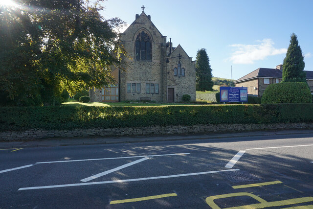
In addition to its natural attractions, Diglee Clough is home to a small but close-knit community. The nearby village provides necessary amenities, including a pub, a church, and a few local shops. The residents take pride in their valley and actively participate in its preservation, ensuring that it remains a haven of tranquility.
Overall, Diglee Clough is a hidden gem in Cheshire, offering a peaceful escape from the hustle and bustle of modern life. With its breathtaking landscapes and welcoming community, it is a place where visitors can immerse themselves in the beauty of the English countryside.
If you have any feedback on the listing, please let us know in the comments section below.
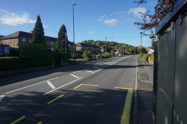
Diglee Clough Images
Images are sourced within 2km of 53.344571/-2.003926 or Grid Reference SJ9983. Thanks to Geograph Open Source API. All images are credited.


Diglee Clough is located at Grid Ref: SJ9983 (Lat: 53.344571, Lng: -2.003926)
Administrative County: Derbyshire
District: High Peak
Police Authority: Derbyshire
What 3 Words
///javelin.inflating.joke. Near New Mills, Derbyshire
Nearby Locations
Related Wikis
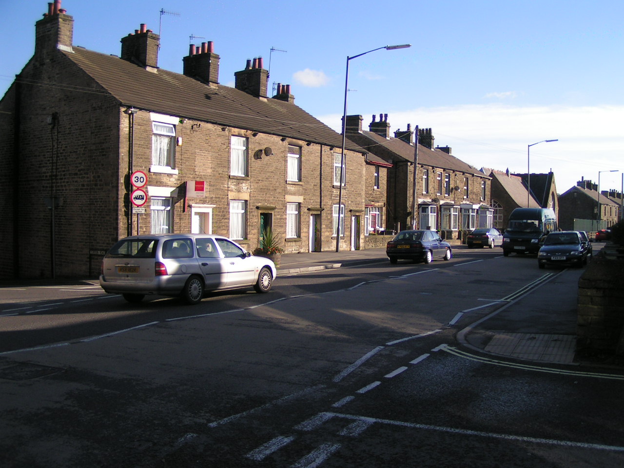
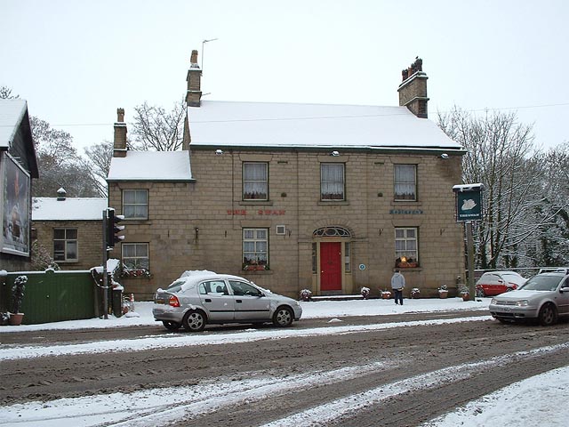
Furness Vale
Furness Vale is a village in the High Peak district of Derbyshire, England, between New Mills and Whaley Bridge. It is bisected by the A6 road and the...
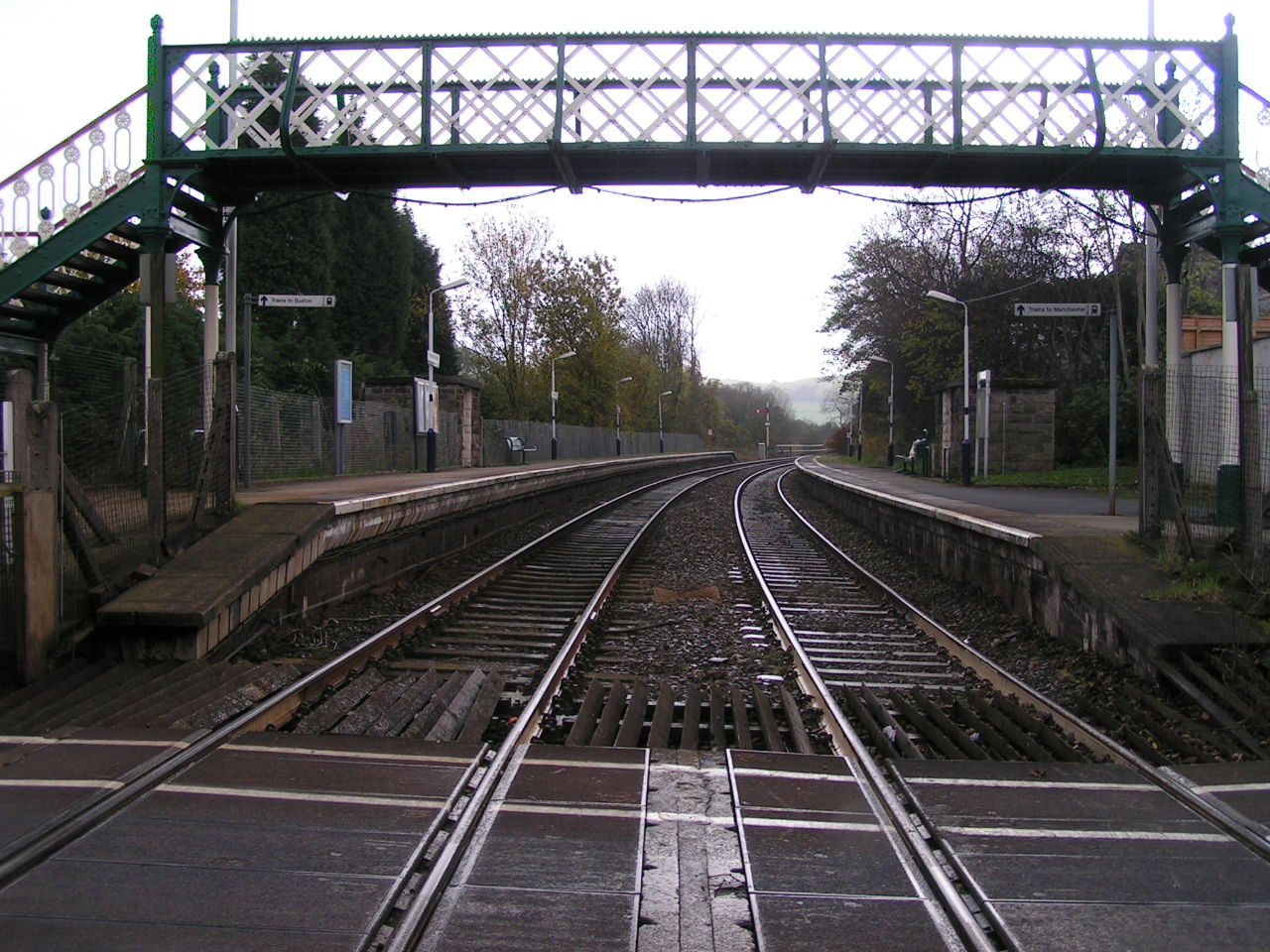
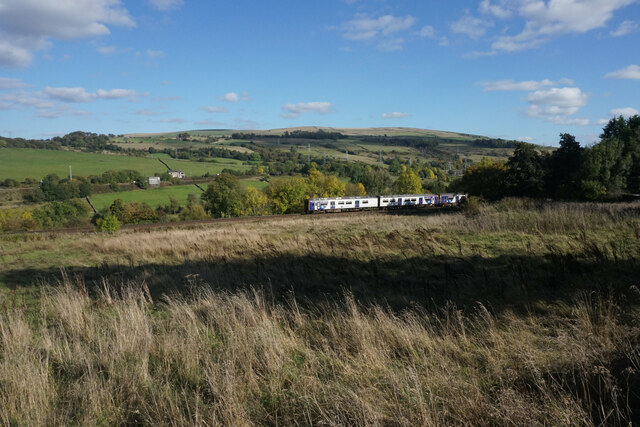
Furness Vale railway station
Furness Vale railway station in Derbyshire, England, is 15+1⁄4 miles (24.5 km) south east of Manchester Piccadilly on the Manchester to Buxton line and...
Newtown, Derbyshire
Newtown is an area of the town of New Mills in the High Peak borough of Derbyshire, England. It is situated west of New Mills proper, on the road to Disley...
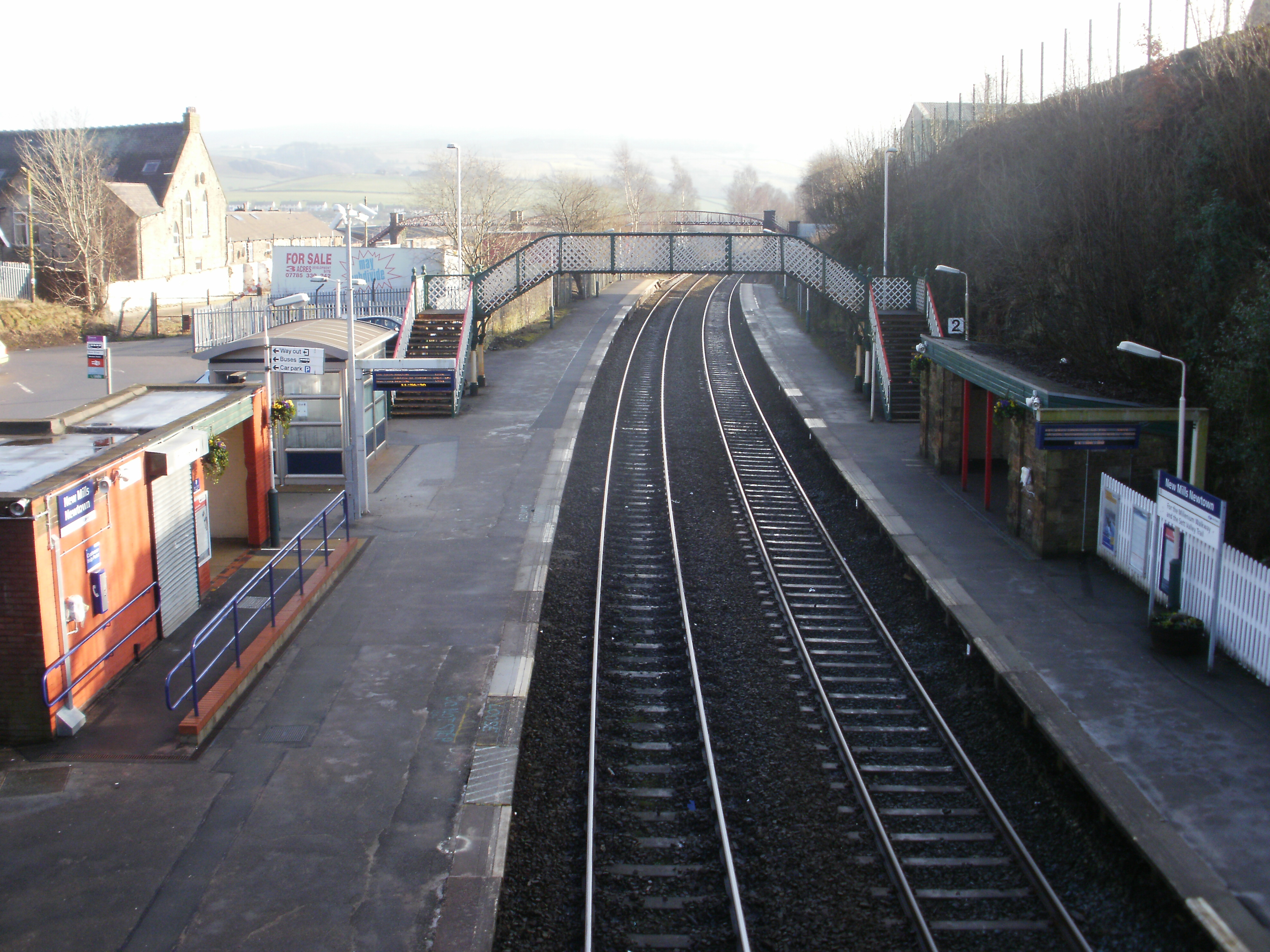
New Mills Newtown railway station
New Mills Newtown railway station serves the Peak District town of New Mills in Derbyshire, England. The station is 14+1⁄4 miles (22.9 km) south east of...

List of mills in Derbyshire
This is a list of the cotton and other textile mills in Derbyshire, England. The first mills were built in the 1760s in the Derwent Valley by Arkwright...

Whaley Bridge railway station
Whaley Bridge railway station serves the Peak District town of Whaley Bridge in Derbyshire, England. The station is on the Manchester-Buxton Line 16+1...

Whaley Bridge
Whaley Bridge () is a town and civil parish in the High Peak district of Derbyshire, England. It is situated on the River Goyt, 16 miles (26 km) south...
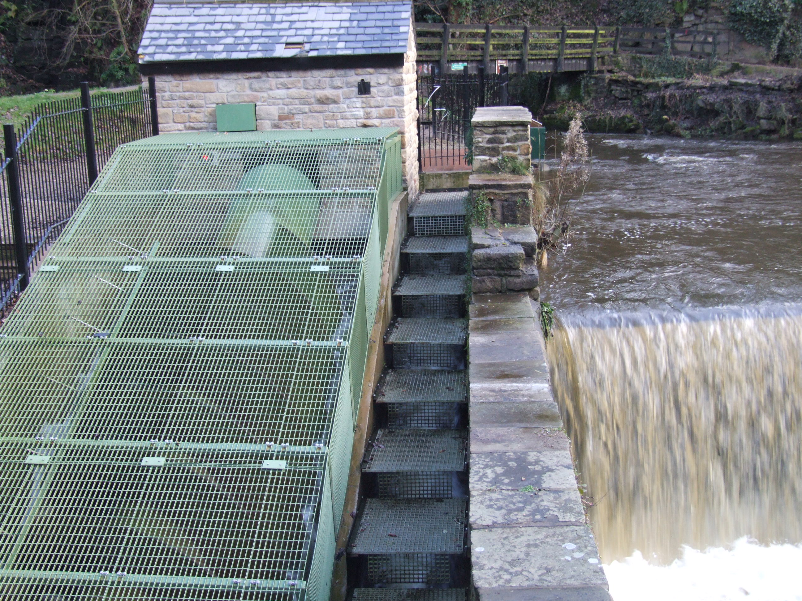
Torrs Hydro
Torrs Hydro is a micro hydroelectric scheme, owned by the community, in New Mills, Derbyshire. It is on the River Goyt, immediately below its confluence...
Nearby Amenities
Located within 500m of 53.344571,-2.003926Have you been to Diglee Clough?
Leave your review of Diglee Clough below (or comments, questions and feedback).