Wood Hey Clough
Valley in Yorkshire
England
Wood Hey Clough

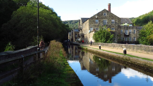
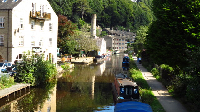
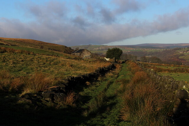
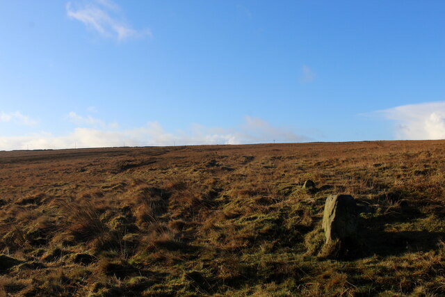
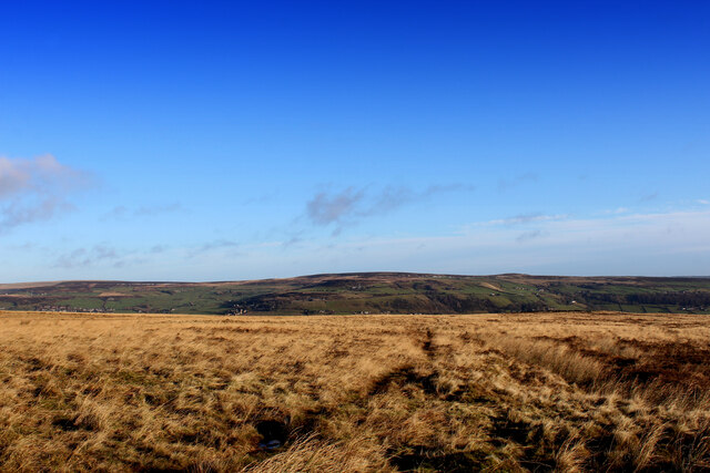
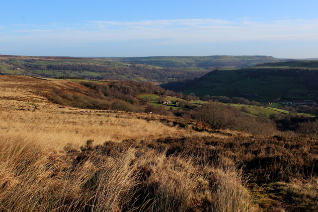
Wood Hey Clough is a picturesque valley located in Yorkshire, England. Situated in the heart of the countryside, it offers stunning natural beauty and an idyllic setting for visitors to enjoy. The clough is characterized by its lush greenery, rolling hills, and meandering streams.
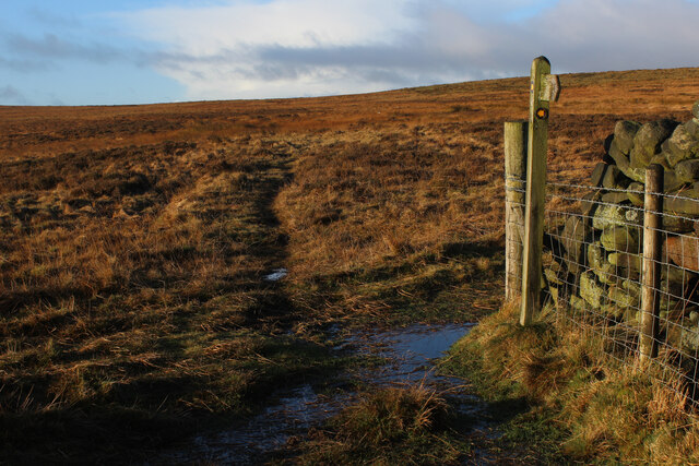
Covering an extensive area, Wood Hey Clough is home to a diverse range of flora and fauna. Ancient woodlands, meadows, and wildflower fields create a rich and vibrant ecosystem. Visitors can expect to encounter a variety of wildlife, including deer, rabbits, and a plethora of bird species.
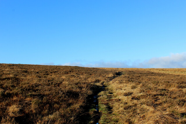
The valley is popular among outdoor enthusiasts and nature lovers who can explore the numerous walking trails and cycling routes that wind through the clough. The paths provide breathtaking views of the surrounding landscape, with opportunities to spot wildflowers and listen to the sound of cascading waterfalls.
Wood Hey Clough is also significant for its historical importance. It has been inhabited for centuries, and remnants of ancient settlements can still be found in the area. The valley's tranquility and untouched beauty make it a popular spot for those seeking a peaceful retreat or a place to connect with nature.
In summary, Wood Hey Clough offers a serene and captivating experience for visitors. With its stunning landscapes, diverse wildlife, and rich history, it is a hidden gem in the Yorkshire countryside that should not be missed.
If you have any feedback on the listing, please let us know in the comments section below.
Wood Hey Clough Images
Images are sourced within 2km of 53.729838/-2.0043734 or Grid Reference SD9925. Thanks to Geograph Open Source API. All images are credited.


Wood Hey Clough is located at Grid Ref: SD9925 (Lat: 53.729838, Lng: -2.0043734)
Division: West Riding
Unitary Authority: Calderdale
Police Authority: West Yorkshire
What 3 Words
///undertone.renewals.shortcuts. Near Hebden Bridge, West Yorkshire
Nearby Locations
Related Wikis

Erringden
Erringden is a civil parish in the Metropolitan Borough of Calderdale in West Yorkshire, England. Previously it was a township within the chapelry of Heptonstall...
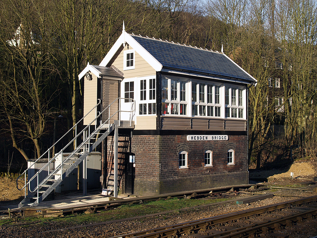
Hebden Bridge signal box
Hebden Bridge signal box is a Grade II listed former Lancashire and Yorkshire Railway signal box, located close to Hebden Bridge railway station in West...

Hebden Bridge railway station
Hebden Bridge railway station serves the town of Hebden Bridge in West Yorkshire, England. The station is on the Calder Valley Line, operated by Northern...

Upper Calder Valley
The Upper Calder Valley lies in West Yorkshire, in northern England, and covers the towns of Todmorden, Hebden Bridge, Mytholmroyd, Luddendenfoot, and...

Hebden Bridge Picture House
Hebden Bridge Picture House in Hebden Bridge, West Yorkshire, is one of the last remaining council-owned cinemas in Britain. Together with the adjacent...

Hebden Royd
Hebden Royd is a civil parish in the Metropolitan Borough of Calderdale in West Yorkshire, England. According to the 2001 census it had a population of...

Hebden Bridge
Hebden Bridge is a market town in the Calderdale district of West Yorkshire, England. It is in the Upper Calder Valley, 8 miles (13 km) west of Halifax...

Battle of Heptonstall
The Battle of Heptonstall occurred in November 1643 during the First English Civil War at Hebden Bridge and Heptonstall, Yorkshire. During the battle,...
Nearby Amenities
Located within 500m of 53.729838,-2.0043734Have you been to Wood Hey Clough?
Leave your review of Wood Hey Clough below (or comments, questions and feedback).