Pepper Slade
Valley in Staffordshire Cannock Chase
England
Pepper Slade
Pepper Slade is a small village located in the Staffordshire area of England, nestled within a picturesque valley. With a population of around 500 residents, it offers a tranquil and close-knit community atmosphere. The village is situated approximately 10 miles south of Stafford, the county town of Staffordshire.
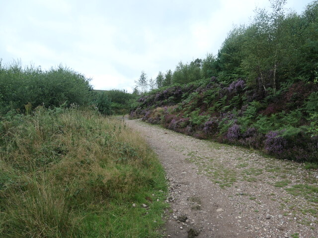
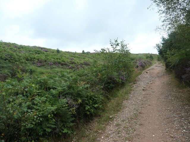
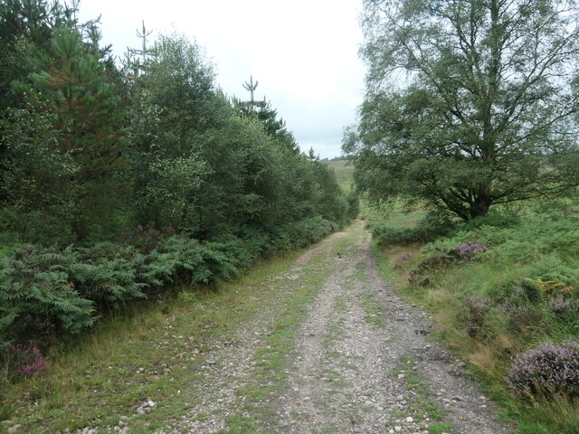
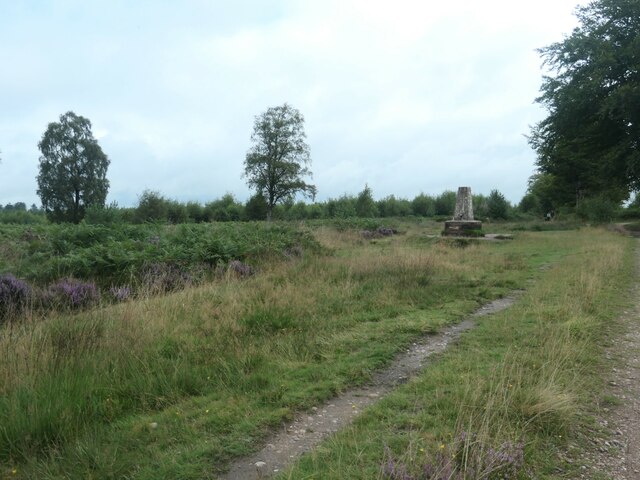
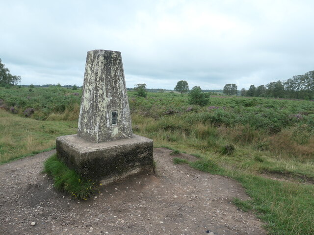
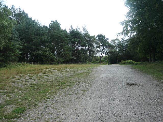
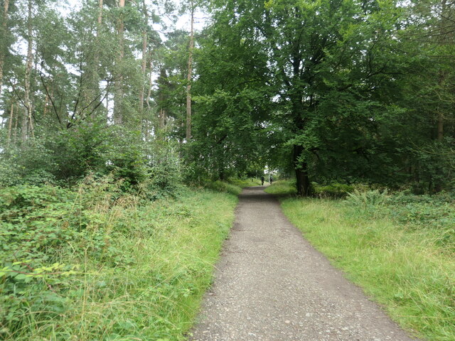
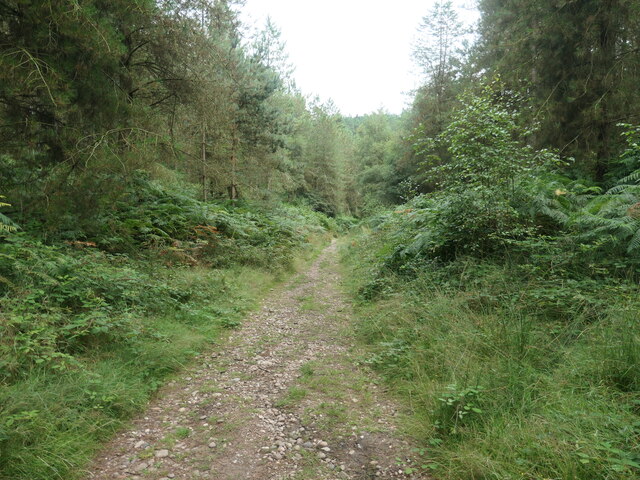
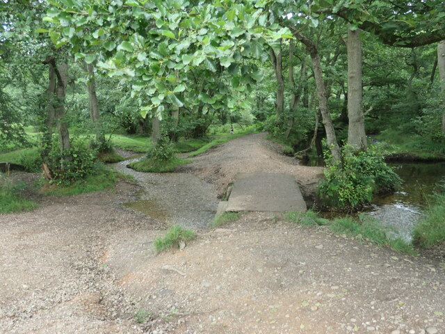
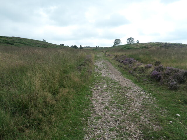
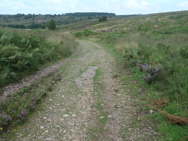
One of the defining features of Pepper Slade is its stunning natural beauty. Surrounded by rolling green hills and bordered by a meandering river, the village is a haven for nature lovers and outdoor enthusiasts. It boasts several walking trails, offering breathtaking views of the countryside and opportunities for wildlife spotting.
The village itself is a charming mix of traditional stone cottages, quaint shops, and a handful of local businesses. Pepper Slade is proud of its rich history, evident in its well-preserved architecture and landmarks. The local church, St. Mary's, dating back to the 12th century, is a notable historical gem worth visiting.
Residents of Pepper Slade enjoy a range of amenities, including a village hall, a primary school, and a small pub serving local ales and hearty meals. The community spirit is strong, with regular events and gatherings organized by various clubs and societies.
Despite its peaceful ambiance, Pepper Slade benefits from its proximity to larger towns and cities such as Stafford and Stoke-on-Trent, providing easy access to additional amenities and employment opportunities.
In summary, Pepper Slade is a charming village in the Staffordshire countryside, offering a close-knit community, stunning natural surroundings, and a rich historical heritage. It is an ideal place for those seeking a peaceful and idyllic rural lifestyle.
If you have any feedback on the listing, please let us know in the comments section below.
Pepper Slade Images
Images are sourced within 2km of 52.755803/-2.0131002 or Grid Reference SJ9917. Thanks to Geograph Open Source API. All images are credited.
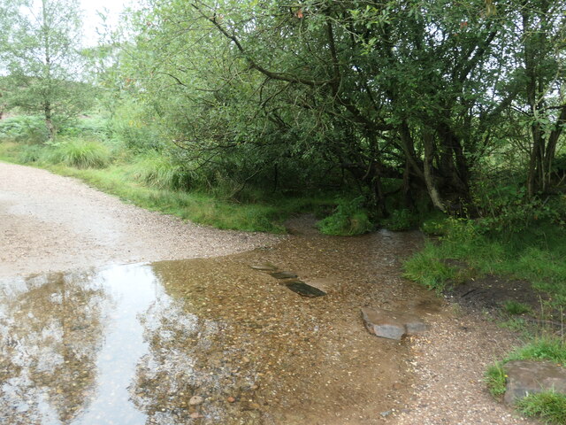
![Sher Brook, at the stepping stones Looking upstream [locally south].](https://s1.geograph.org.uk/geophotos/06/94/54/6945489_b6c7d9b6.jpg)
![Sher Brook, looking downstream [locally north] The brook is a civil parish boundary here, between Brocton and Rugeley.](https://s1.geograph.org.uk/geophotos/06/94/91/6949105_1d41f530.jpg)
Pepper Slade is located at Grid Ref: SJ9917 (Lat: 52.755803, Lng: -2.0131002)
Administrative County: Staffordshire
District: Cannock Chase
Police Authority: Staffordshire
What 3 Words
///episode.innovate.gladiator. Near Colwich, Staffordshire
Nearby Locations
Related Wikis

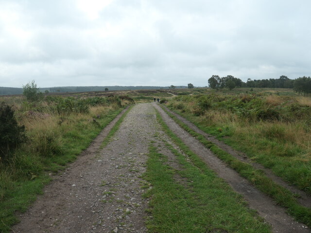
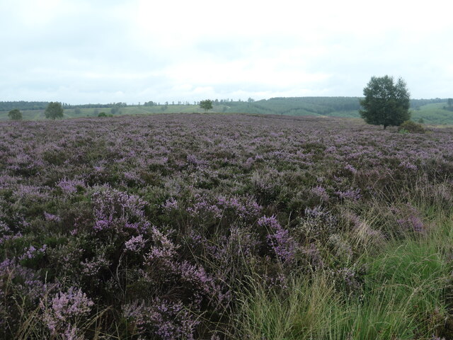
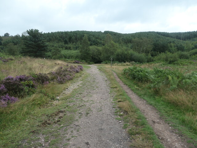
Cannock Chase
Cannock Chase (grid reference SK000165), often referred to locally as The Chase, is a mixed area of countryside in the county of Staffordshire, England...

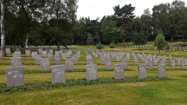
Cannock Chase German Military Cemetery
The Cannock Chase German Military Cemetery (grid reference SJ984157) is on Cannock Chase, Staffordshire, England. The cemetery contains nearly 5,000 burials...

Brindley Heath
Brindley Heath is an area of heath land on Cannock Chase situated between Hednesford and Rugeley in the Cannock Chase District of Staffordshire, England...

Brocton, Staffordshire
Brocton is a village and civil parish in the English county of Staffordshire. It is within the borough of Stafford. The village describes itself as the...

Pye Green BT Tower
Pye Green BT Tower is a 96.9-metre (318 ft) tall telecommunication tower built of reinforced concrete at Pye Green, Staffordshire, England (grid reference...
Etchinghill, Staffordshire
Etchinghill, also known as Etching Hill, was once a singular village, until it was engulfed by the simultaneous growth of Rugeley, Staffordshire. It is...

Slitting Mill
Slitting Mill is a small village on the outskirts of Rugeley, Staffordshire. At the 2001 census, it had a population of 265.The village is within Rugeley...
Fair Oak Academy
Fair Oak Academy was a mixed secondary school located in Rugeley in the English county of Staffordshire.Previously known as Fair Oak High School, the school...
Nearby Amenities
Located within 500m of 52.755803,-2.0131002Have you been to Pepper Slade?
Leave your review of Pepper Slade below (or comments, questions and feedback).